Tourist attractions near Salacea (Salacea, Bihor county, Romania)
Photos of nearby places


Cave of Winds - Padurea Craiului Mountains (24 photos) 60.6 km away. The Cave of Winds (Pestera Vantului) is located in the Padurea Craiului Mountains, not far from Frantura meadow, near Suncuius, on the left geographical side of the Crisul Repede River.


Pestera de la Izvor (The cave from the spring) - Padurea Craiului Mountains (8 photos) 61.1 km away.

Napistileu cave - Padurea Craiului (10 photos) 61.2 km away. Napistileu (Ungurul Mic) cave - Padurea Craiului Mountains.


Moanei Cave - Padurea Craiului Mountains (58 photos) 64.5 km away. The Moanei Cave (Pestera Moanei) is located on the upper course of the Misid River, on the right side of the Misid Gorge (Cheilor Misidului).
[ Top ↑ ]
Videos of nearby places


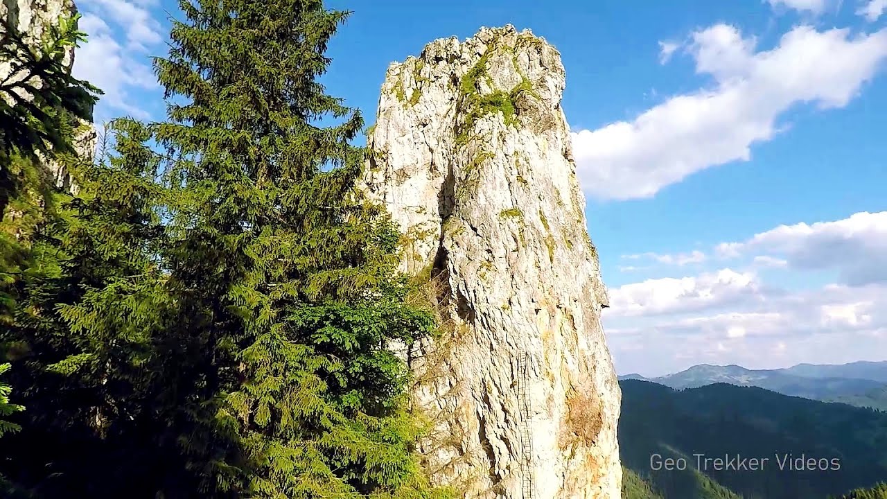
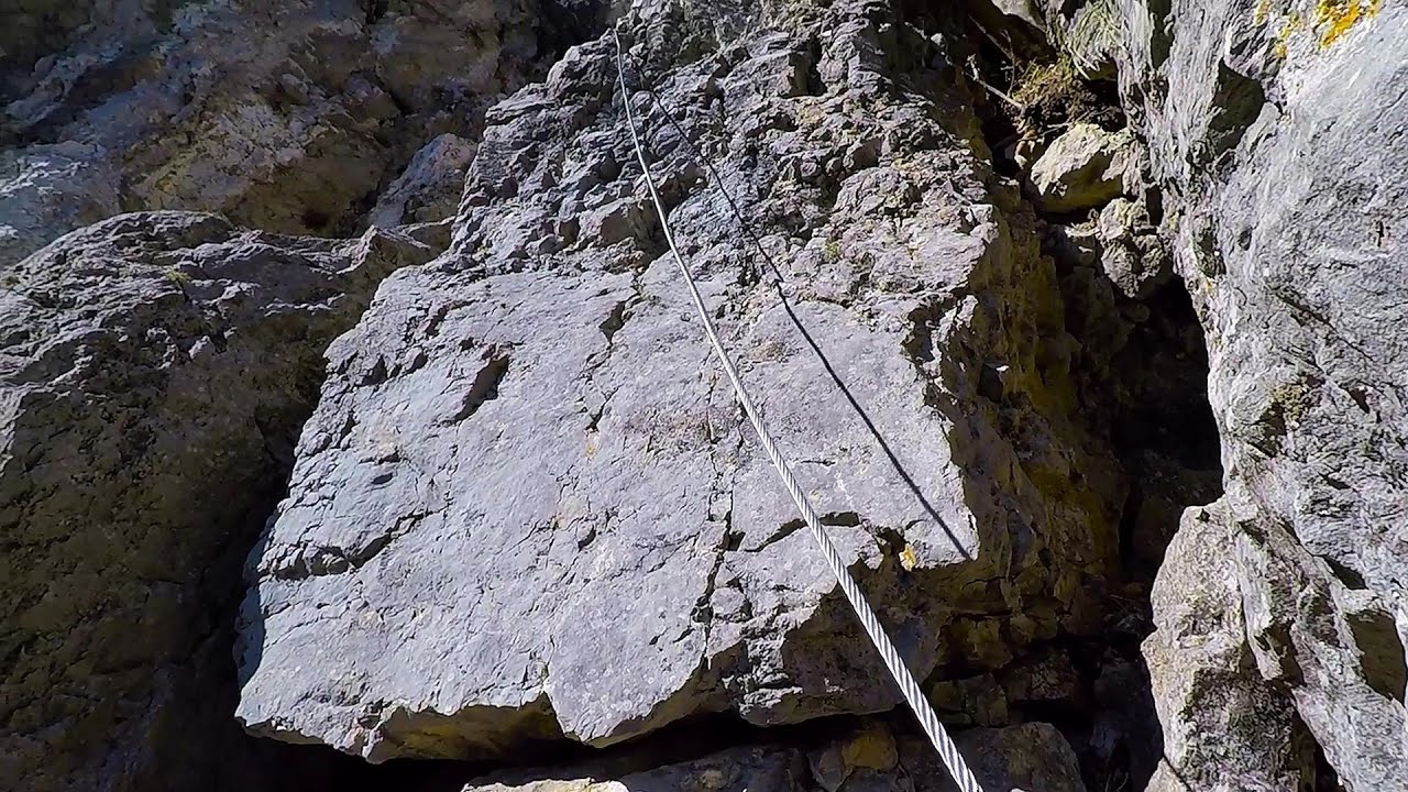
Via Ferrata Fairy Castle - Vadu Crisului 56.5 km away. Via Ferrata Fairy Castle (Castelul Zanelor, Casa Zmeului, The House of the Dragon) - Vadu Crisului.

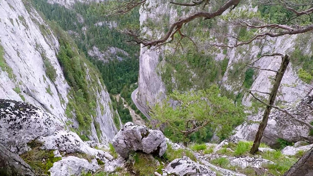
Fairy Cliff (Peretele Zanelor) via ferrata route - Vadu Crisului 56.6 km away. In Vadu Crisului, in the Padurea Craiului Mountains, on the right bank of the Crisul Repede, you can find the newest, in chronological order (2015) the fifth Transylvanian, new type of via ferrata route.

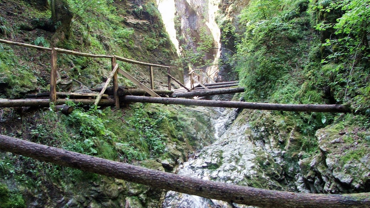
Vadu Crisului cave 57.4 km away. The Vadu Crisului Cave, with a total length of over 1000 meters, is located in the picturesque gorge of Crisul Repede creek.


Acapulco's spur via ferrata 60.7 km away. Acapulco's spur (Pintenul lui Acapulco) via ferrata (B/C) - Montana Land, Suncuius.
Other places
Falco Tinnunculus via ferrata, the ascent Falcon's Rock, Corbu 260.7 km away. Falco Tinnunculus (Common kestrel) via ferrata (E), the ascent - Falcon's Rock, Corbu.
The Bear's Jump iron path Baia de Fier 275.6 km away. The Bear's Jump (Saritoarea Ursului) is a fantasy-named via ferrata that opened in May 2018 near Baia de Fier, alongside the Middle Belt (Spirala Medie).
Devil's Mill Gorge Campulung Moldovenesc 248.4 km away. The Devil's Mill Gorge is relatively short, measuring only 60 to 70 meters in length.
Bicajel Gorge, Bicajel Waterfall, Stone of the Gorge 276 km away. Bicajel Gorge (Cheile Bicajelului), Bicajel Waterfall (Cascada Bicajel), Stone of the Gorge (Surduc Stone, Piatra Surducului) - Hasmas Mountains.

[ Top ↑ ]
Copyright © 2003-2025 Trekkingklub and friends. Reproduction of any text, picture or video from this website, either in printed or electronic form, is prohibited without prior written permission. Website made with love  in Miercurea Ciuc.