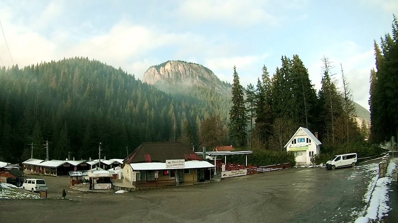
Tourist attractions near Trei Fantani (Damuc, Neamt county, Romania)
Photos of nearby places

Valley of the Lazarus-creek - Hasmas Mountains (15 photos) 1.6 km away. Valley of the Lazarus-creek (Valea paraului Lazar), Log Slide - Hasmas Mountains.

Lazar peak - Hasmas Mountains (18 photos) 2.3 km away. The pit under the Lazar peak 2004-09-02, 2014-11-27.

Dry Valley canyon - Hasmas Mountains (9 photos) 3.1 km away. Dry Valley (Paraului Sec) canyon - Hasmas Mountains.

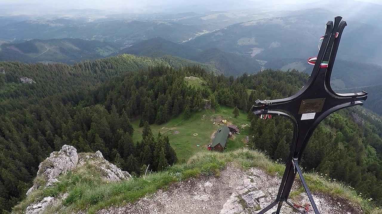
Black Hasmas - Hasmas Mountains (27 photos) 3.5 km away. Hasmasul Negru (Black Hasmas) - Hasmas Mountains.


White Glade - Hasmas Mountains (6 photos) 4.2 km away. White Glade (Poiana Alba) - Hasmas Mountains.

Watchstone and the Lonely Stone in March (18 photos) 4.4 km away. Watchstone (Stanca La Panda) and the Lonely Stone (Piatra Singuratica) in March.

Lonely Stone - Hasmas Mountains (9 photos) 4.4 km away. Lonely Stone (Piatra Singuratica) - Hasmas Mountains.

Brother Mountain - Hasmas Mountains (11 photos) 4.5 km away. Brother Mountain (Ecsém-tető, Muntele Fratele, Muntele Ecem) - Hasmas Mountains.

White Glade, Horseshoe Rock (17 photos) 4.5 km away. White Glade (Poiana Alba), Horseshoe Rock (Piatra Potcoavei) - Hasmas Mountains.

Horseshoe Rock - Hasmas Mountains (9 photos) 4.5 km away. Horseshoe Rock (Piatra Potcoavei) - Hasmas Mountains.

Pit cave with three entrances - Hasmas Mountains (3 photos) 4.6 km away. Pit cave with three entrances (Avenul cu trei intrari) - Hasmas Mountains.

Brother Mountain - Hasmas Mountains (15 photos) 5.1 km away. Brother Mountain (Fratele, Ecem, Ecsém) - Hasmas Mountains.


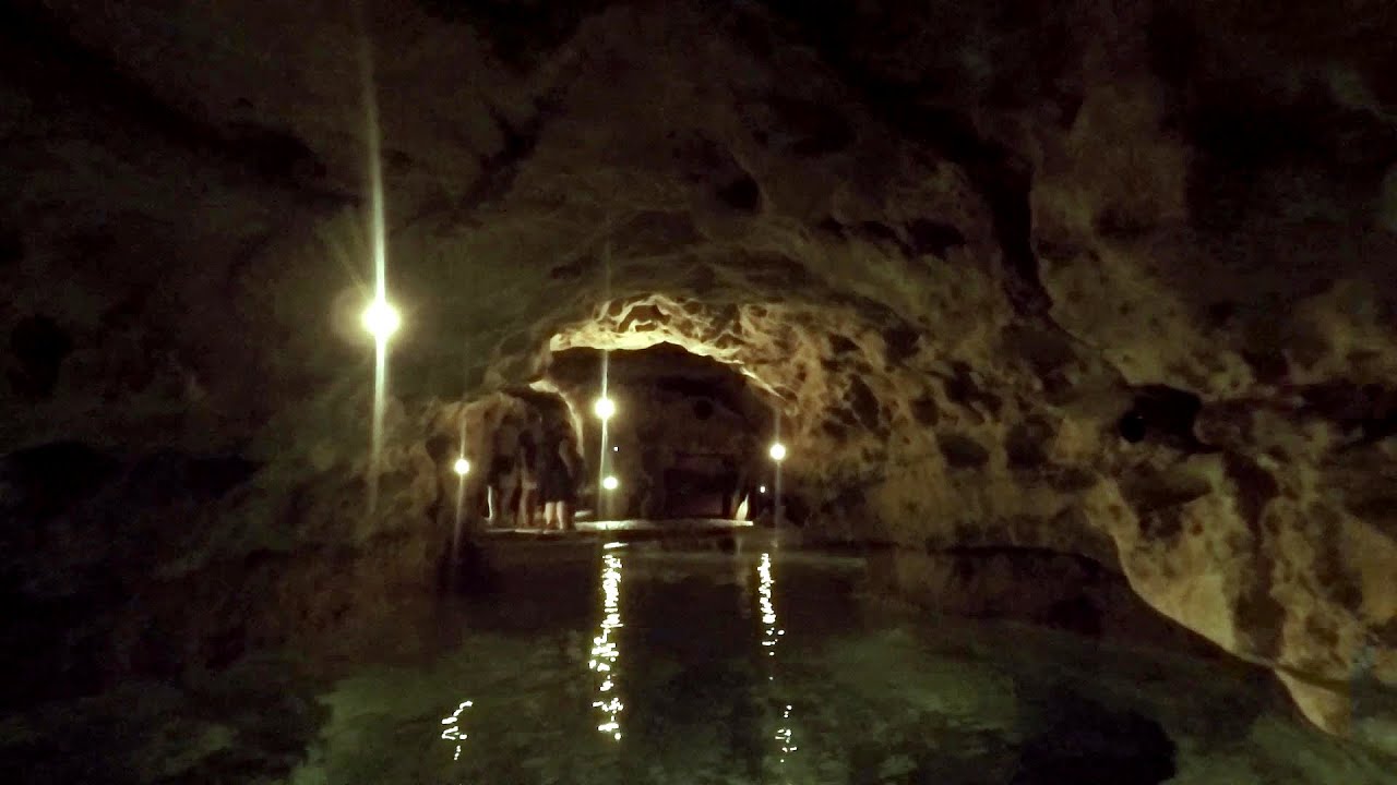
Sugo Cave - Giurgeu Mountains (60 photos) 14.2 km away. The Sugó Cave is located at the western foot of Sipos Stone (1566 m) at an altitude of 1064 m above sea level. It consists of a system of passages with four levels, totaling 1021 m in length and a level difference of -60 m.


Condra cross - Three rocks peak (24 photos) 16.3 km away. Condra cross - Trei Pietre (Three rocks) peak.


The sources of the river Trotus - Fagetel (10 photos) 32.7 km away. Fagetel, Piposz property, The sources of the river Trotus (Tatros).

Bears cave, Ice Grotto - Borsec (12 photos) 34.9 km away. The Bears' cave is actually a deep rock fissure with a path leading into it. Local belief long considered it to be the habitat of bears, which is where the name comes from.

Stalactite Cave - Round Chair Hill, Borsec, Giurgeu Mountains (24 photos) 35.2 km away. The Stalactite Cave on the Round Chair Hill is the longest cave formed in travertine in the country. Its formation was mainly influenced by an open system of diaclases, which fragmented the travertine, with the contribution of infiltrated rainwater being essential in the transport and dissolution of limestone.

Borsec spa resort (9 photos) 35.8 km away. Borsec is one of the most beautifully situated resorts in the Eastern Carpathians. It consists of two parts: Lower Borsec and Upper Borsec, the latter being the actual resort area.
[ Top ↑ ]
Videos of nearby places
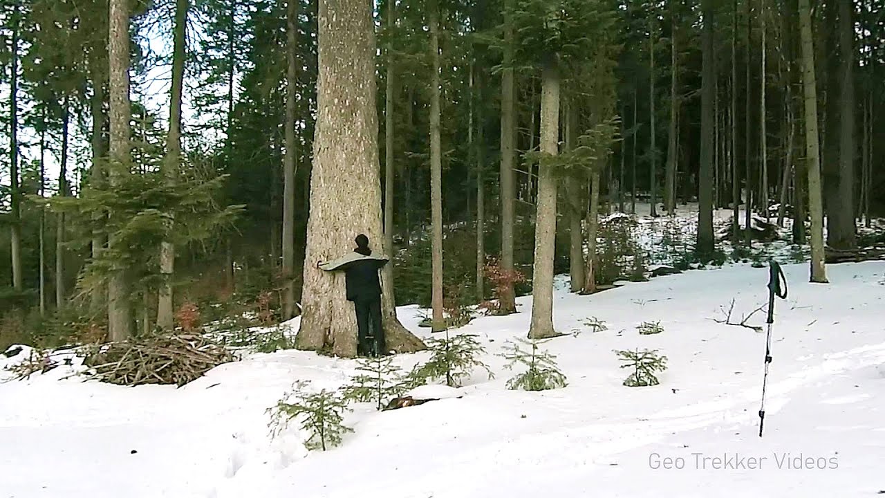
Lonely Stone - Hasmas Mountains 4.4 km away. On June 1, 2003, with a small group of friends, I left Balan, walking along the valley of the Sep (Beautiful) stream towards the Lonely Stone (Piatra Singuratica). Those who were with me at the time fell behind, and then other people joined for the hike.
Giant fir trees - Ghimes 8.2 km away. One of the lesser-known attractions of Ghimes is the two giant-sized common fir trees. They are 42 meters tall, and have diameters of 110 cm and 130 cm at chest height.
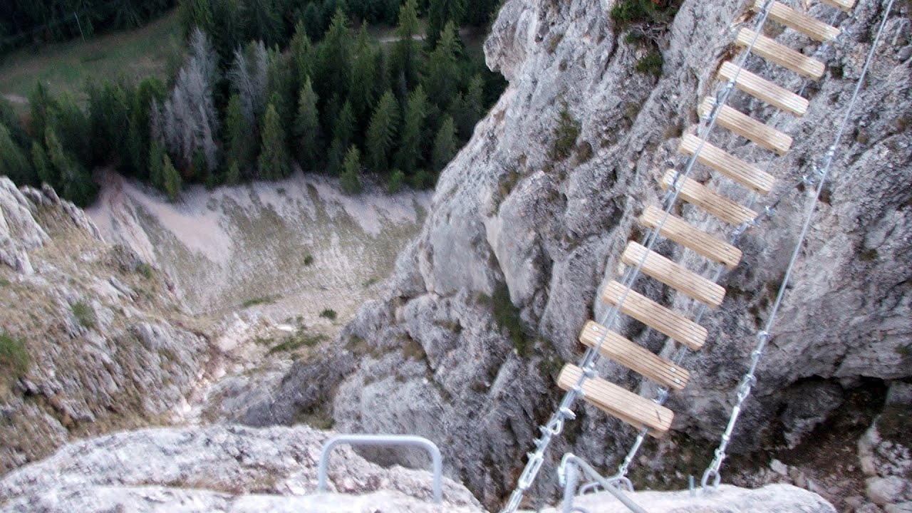
Wild Ferenc iron path - Suhardul Mic 9.9 km away. While I climbed the new iron path mostly in the dark for the first time, this time I managed to explore it during the day. But I still missed the sunset by a few minutes.
Wild Ferenc memorial path - Suhardul Mic 9.9 km away. In recent days, this news has been everywhere: the via ferrata route built on the southwest wall of Suhardul Mic (Little Suhard) has finally been completed and inaugurated. The new route has been named after Ferenc Wild, in memory of the former mountain rescuer, sports writer, and one of the founders of the mountain rescue association in Gheorgheni.
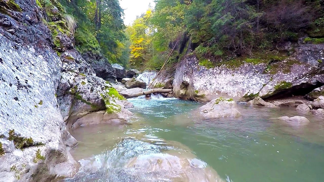
Bicajel Gorge - Hasmas Mountains 10.1 km away. Bicajel Gorge (Cheile Bicajelului) - Hasmas Mountains.
Other places
Tapolca lake cave Balaton-felvidéki National Park The Tapolca lake cave is situated in the Balaton-felvidéki National Park. A modern visitor center has been constructed at its entrance, featuring ten rooms that highlight the unique characteristics of karst regions.
Turcinovac via ferrata and cave Ovcar Banja Difficulty level B, total length: 60 m, height difference: 45 m, year of construction: 2010. Climbing the via ferrata is only permitted with the approval of the Extreme Sports Club Armadillo from Cacak, and there is a fee for it.

Stone Forest Slanchevo 414.6 km away. The Stone Forest (Stones stuck in the ground, Pobiti Kamani) of Bulgaria is located 18 km west of Varna, at the foothills of the Eastern Balkan Mountains. Its Bulgarian name, Pobiti Kamani, translates to planted stones, and it is referred to in English as the Stone Desert or Stone Forest.

Big Via ferrata Rasnoavei Gorge 133 km away. The most dangerous Eastern European iron path, and also one of the most beautiful via ferrata routes in Romania, is in the Rasnoavei Gorges, Postavaru Mountains.The route is 450 m long, with a level difference of 220 m.

Stone Mushrooms Beli Plast The Stone Mushrooms (Kamenni Gabi) nature reserve in Bulgaria is situated east of the village of Beli Plast, along the road that connects Kardzhali to Haskovo. Spanning an area of 3 hectares, the reserve is home to several mushroom-shaped rock formations.

Belogradchik fortress 424.7 km away. Belogradchik is located in the northwestern part of Bulgaria, in the Vidin Province, at the foot of the Balkan Mountains, near the Serbian border. Its name means little white town.
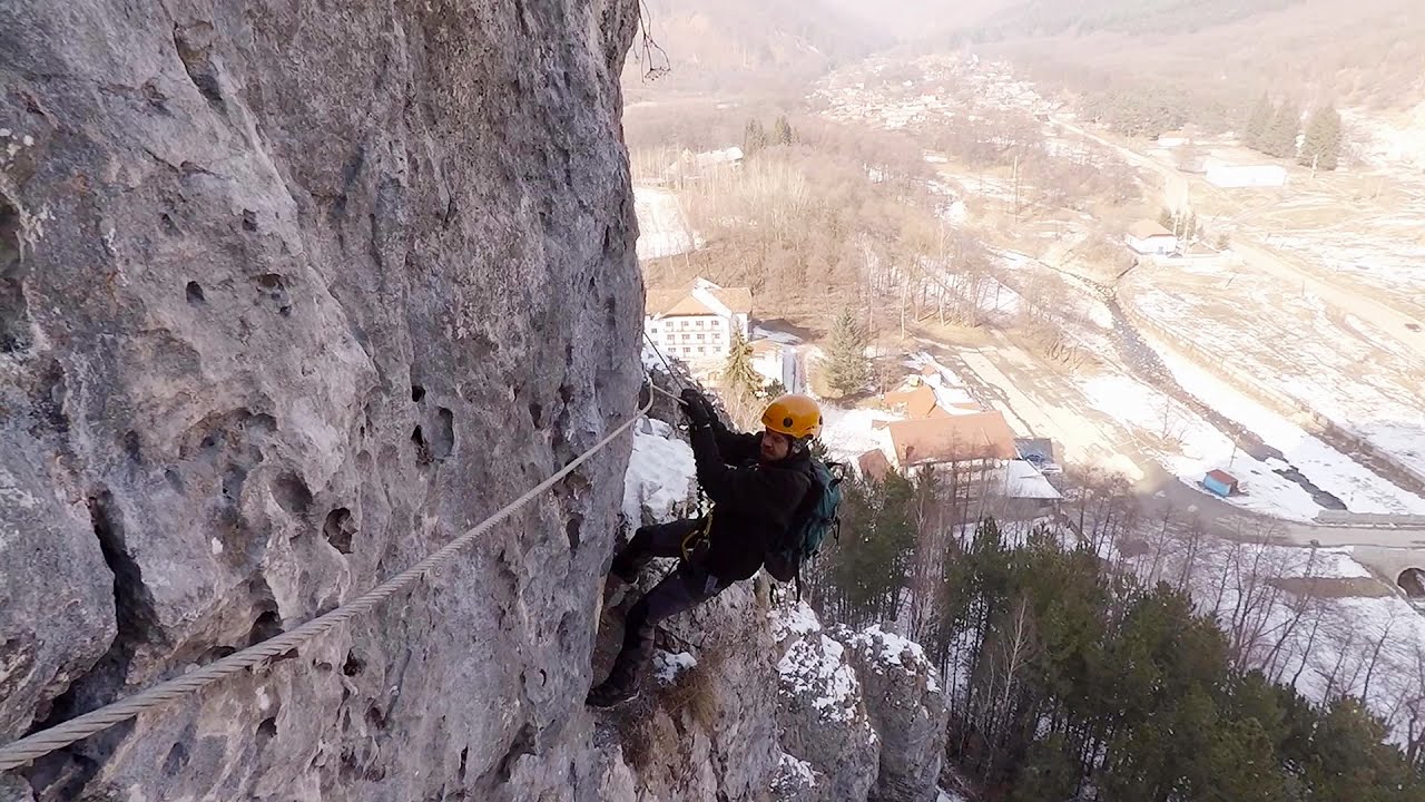
Womens Spiral, Cave Ridge, and The Great Crack iron paths Baia de Fier 234.8 km away. Perhaps the most interesting via ferrata among the routes in the Baia de Fier area is the Womens Spiral. After completing it, I can say that it is the second most thrilling via ferrata in Romania, following the Big Via Ferrata at Rasnov.
Shiroka Laka village Smolyan Shiroka Laka is one of the most beautiful villages in Bulgaria. It is located in the Rhodope Mountains, in the Smolyan province, in the southern part of the country.
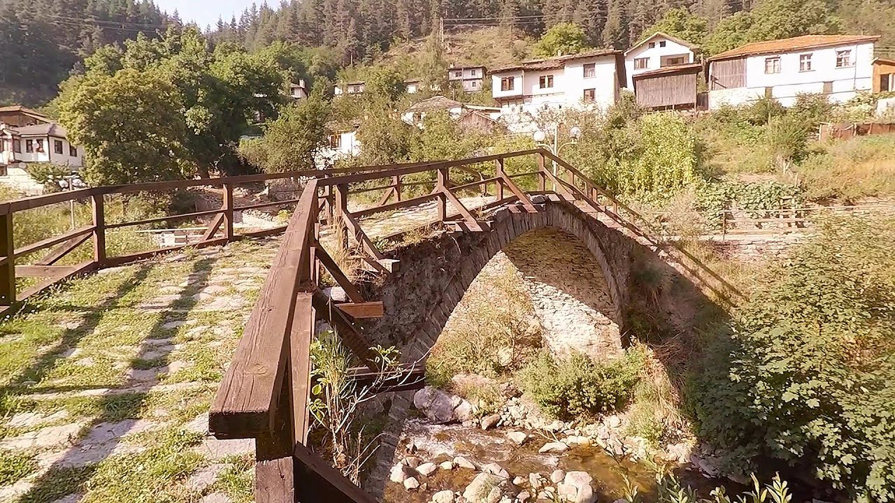
Roman bridge Nenkovo Along the Borovitsa River, near the village of Nenkovo, there is a Roman Bridge. It connects the two banks of the Borovitsa River.
[ Top ↑ ]
Copyright © 2003-2026 Trekkingklub and friends. Reproduction of any text, picture or video from this website, either in printed or electronic form, is prohibited without prior written permission. Website made with love  in Miercurea Ciuc.