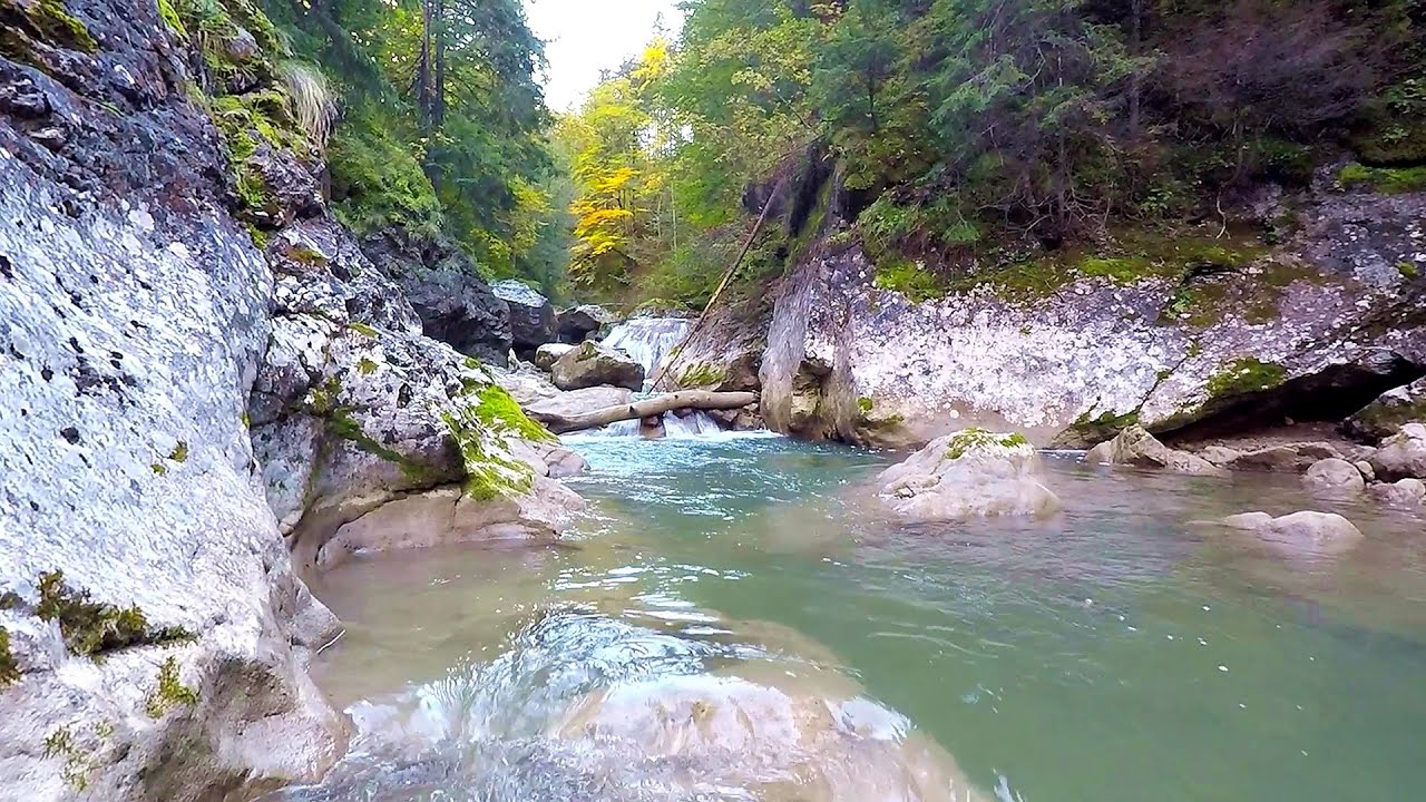
Saint Peter chapel, Kota's Rock - Iavardi - photos
Page no. 1, photos: 1-10, 18 photos in total. >>>
Copyright © 2012 - 2025 Trekkingklub.com.
Already published 8983 photos and 179 videos. Please register for full and ad-free access.
Photos of nearby places

Brother Mountain (Ecsém-tető, Muntele Fratele, Muntele Ecem) - Hasmas Mountains (11 photos) 7.86 km away
[ Top ↑ ]
Videos of nearby places
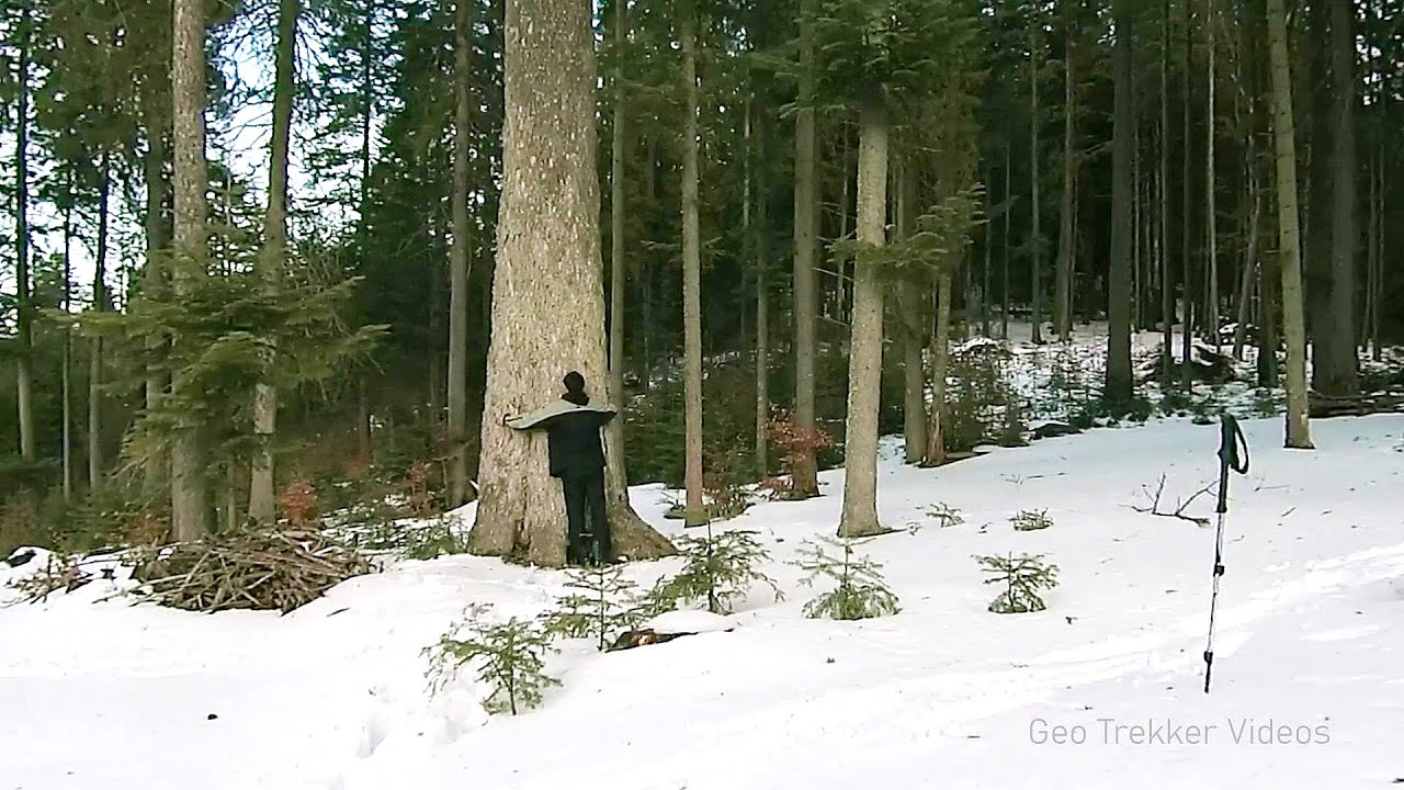
Giant fir trees - Ghimes 1.53 km away
One of the lesser-known attractions of Ghimes is the two giant-sized common fir trees. They are 42 meters tall, and have diameters of 110 cm and 130 cm at chest height.
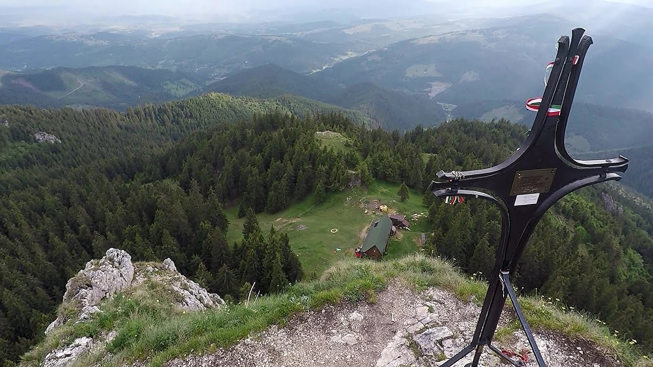
Lonely Stone (Piatra Singuratica) - Hasmas Mountains 8.67 km away
On June 1, 2003, with a small group of friends, I left Balan, walking along the valley of the Sep (Beautiful) stream towards the Lonely Stone (Piatra Singuratica). Those who were with me at the time fell behind, and then other people joined for the hike.

Ski Gyimes ski slope - Lunca de Sus 14.48 km away
The Ski Gyimes ski slope is located in Lunca de Sus, right next to the main road. It is 800 m long, the level difference is 160 m.
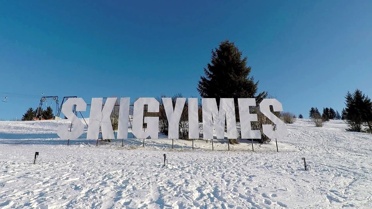
SkiGyimes ski slope - Lunca de Sus 14.48 km away
It is well-known that in Rimetea, due to the Piatra Secuiului (Szekler's Rock) mountain, the Sun rises twice. However, perhaps few know that in Lunca de Sus, the Sun sets three times.
Other places
Sterp- and White creek valleys Ciucas Mountains 130.02 km away
Wind's iron path (Via ferrata Vanturilor, D) Baia de Fier 233.41 km away
The Wind's iron path (Via ferrata Vanturilor) is the via ferrata route number 11 in the Baia de Fier - Polovragi area. The sign at the base of the route was installed on February 9, 2020.
The Wind's iron path (Via ferrata Vanturilor) is the via ferrata route number 11 in the Baia de Fier - Polovragi area. The sign at the base of the route was installed on February 9, 2020.
Downstream of the Izvorul Dorului (Source of longing) creek Vanturis waterfalls, Bucegi Mountains 149.31 km away
Laura iron path (E) Baia de Fier 233.53 km away
Middle Belt (Spirala Medie) via ferrata route Baia de Fier 233.44 km away
In May 2018, two new via ferrata routes were inaugurated in Baia de Fier. Both start from section G of the rock face hiding the Women's Cave (Pestera Muierilor), and their initial stages are shared.
In May 2018, two new via ferrata routes were inaugurated in Baia de Fier. Both start from section G of the rock face hiding the Women's Cave (Pestera Muierilor), and their initial stages are shared.
[ Top ↑ ]
[ Top ↑ ]
Copyright © 2003-2025 Trekkingklub and friends. Reproduction of any text, picture or video from this website, either in printed or electronic form, is prohibited without prior written permission.
The given distances are to be understood as straight line distances, and are approximate. Website made in Miercurea Ciuc  .
.
 .
.


