Csorgoko waterfall - Harghita Mountains | Photos
Page no. 1, photos: 1-10, 16 photos in total. >>>
Copyright © 2012 - 2025 Trekkingklub.com.
Already published 8983 photos and 180 videos. Please register for full and ad-free access.
Photos of nearby places

The Rock with a Hole - Corund (6 photos) 14.78 km away
The Likas Stone (The Rock with a Hole) is located near Korond (Corund), on a meadow next to the road and four graves. In the middle of the conglomerate rock block, there is a perfectly drilled, heart-shaped hole.
[ Top ↑ ]
Videos of nearby places

Iron path - Harghita-Madaras 17.02 km away
Amateur filming in Harghita-Madaras, holding the camera by hand in the car, and helmet-mounted on the via ferrata. I climbed an iron path for the first time in my life on the Nyerges cliffs (Stancile Seii), I didn't have the right equipment yet.

Iron path in winter - Harghita Madaras 17.04 km away
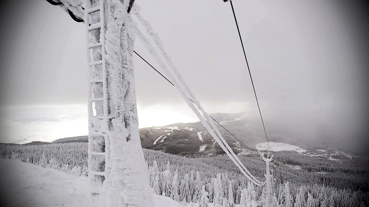
This is already the sixth time I've climbed the via ferrata route set up on the rocky cliffs of Seii Peak near Harghita Madaras. Although the forecast suggests that the weather should be nice, I am greeted by a sky covered in clouds.

The Heart of Jesus look-out - Lupeni 17.59 km away
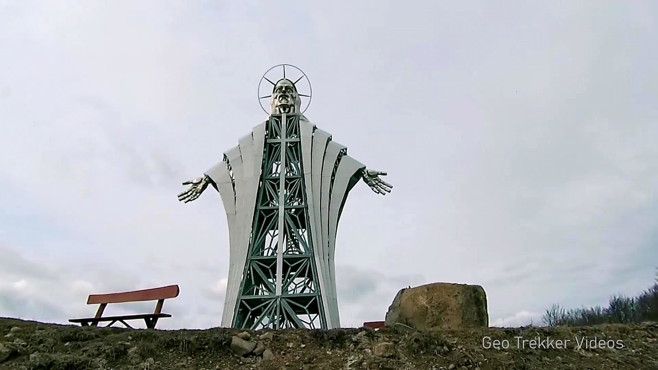
Through the mud on Gordon Mountain, above Farkaslaka (Lupeni commune, Harghita county, Transilvania), on a cloudy afternoon, at the end of February. The destination is the Heart of Jesus lookout, nicknamed as Pléhkrisztus (The Tin Christ).

TV-radio amplifying station - Harghita Ciceu 24.41 km away
The hiking trail marked with a blue stripe starts at the Uz Bence shelter and runs from Harghita-Bai to Harghita Madaras. Our destination today is the Harghita Ciceu plateau.
Other places
Stan Valley Canyon 142.48 km away
The Stan Valley is located near Lake Vidraru, southwest of it, in the Fruntii Mountains. Those who have visited the Seven Ladders Waterfall will appreciate this canyon, outfitted with infrastructure for tourist accessibility.
The Stan Valley is located near Lake Vidraru, southwest of it, in the Fruntii Mountains. Those who have visited the Seven Ladders Waterfall will appreciate this canyon, outfitted with infrastructure for tourist accessibility.
Piticot iron path for children Suncuius 219.88 km away
Preacher's Rock Bodoc Mountains 70 km away
In the Bodoc Mountains, west-southwest from the Henter peak, we find a rock formation shaped like a mushroom by erosion, called Preacher's Rock. This 2-meter high rock probably got its name from the pagan Hungarian priests, who preached here in the past.
In the Bodoc Mountains, west-southwest from the Henter peak, we find a rock formation shaped like a mushroom by erosion, called Preacher's Rock. This 2-meter high rock probably got its name from the pagan Hungarian priests, who preached here in the past.
The Amphitheater of the Dragons (Amfiteatrul Zmeilor) Baia de Fier 194.6 km away
The Amphitheater of the Dragons is the seventh (2017) via ferrata route in Baia de Fier. It was inaugurated last year, on December 26, 2017, after Christmas.
The Amphitheater of the Dragons is the seventh (2017) via ferrata route in Baia de Fier. It was inaugurated last year, on December 26, 2017, after Christmas.
Cherven, a medieval fortified town Bulgaria 327.32 km away
Located about 30 km south of the city of Ruse in Bulgaria, the Cherven medieval fortress can be found in the Rusenski Lom Nature Park. Originally a Byzantine fortification from the 6th century, it reached the height of its development in the 14th century.
Located about 30 km south of the city of Ruse in Bulgaria, the Cherven medieval fortress can be found in the Rusenski Lom Nature Park. Originally a Byzantine fortification from the 6th century, it reached the height of its development in the 14th century.
[ Top ↑ ]
[ Top ↑ ]
Select language: - Magyar - Romana - Copyright © 2003-2025 Trekkingklub and friends. Reproduction of any text, picture or video from this website, either in printed or electronic form, is prohibited without prior written permission. The given distances are to be understood as straight line distances, and are approximate. Website made in Miercurea Ciuc
 .
.


