Tourist attractions near Mandra (Mandra, Brasov county, Romania)
Photos of nearby places

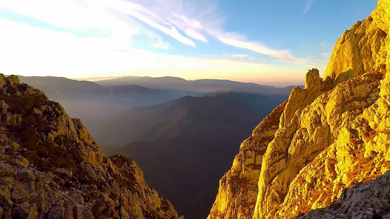
Tower of King Rock (Turnul Pietrei Craiului) - Piatra Craiului Mountains (King Rock) (15 photos) 33.52 km away
Border Ravine Valley (Padina Hotarului), Turm des Königstein (Turnul Pietrei Craiului).

Middle Belt Trail - Piatra Craiului Mountains (King Rock) (114 photos) 33.78 km away
Ravine valley of Calinet (Padina lui Calinet) - Thermopylae - Anghelide's canyon.

Border Ravine Valley (Padina Hotarului), Northern ridge - Piatra Craiului Mountains (King Rock) (53 photos) 33.96 km away

The Cat's Gorge - Curmatura Cabin (20 photos) 34.32 km away
The Cat's Gorge - Valley of the Gorge Stream - Curmatura Cabin - Rift Saddle.
[ Top ↑ ]
Videos of nearby places
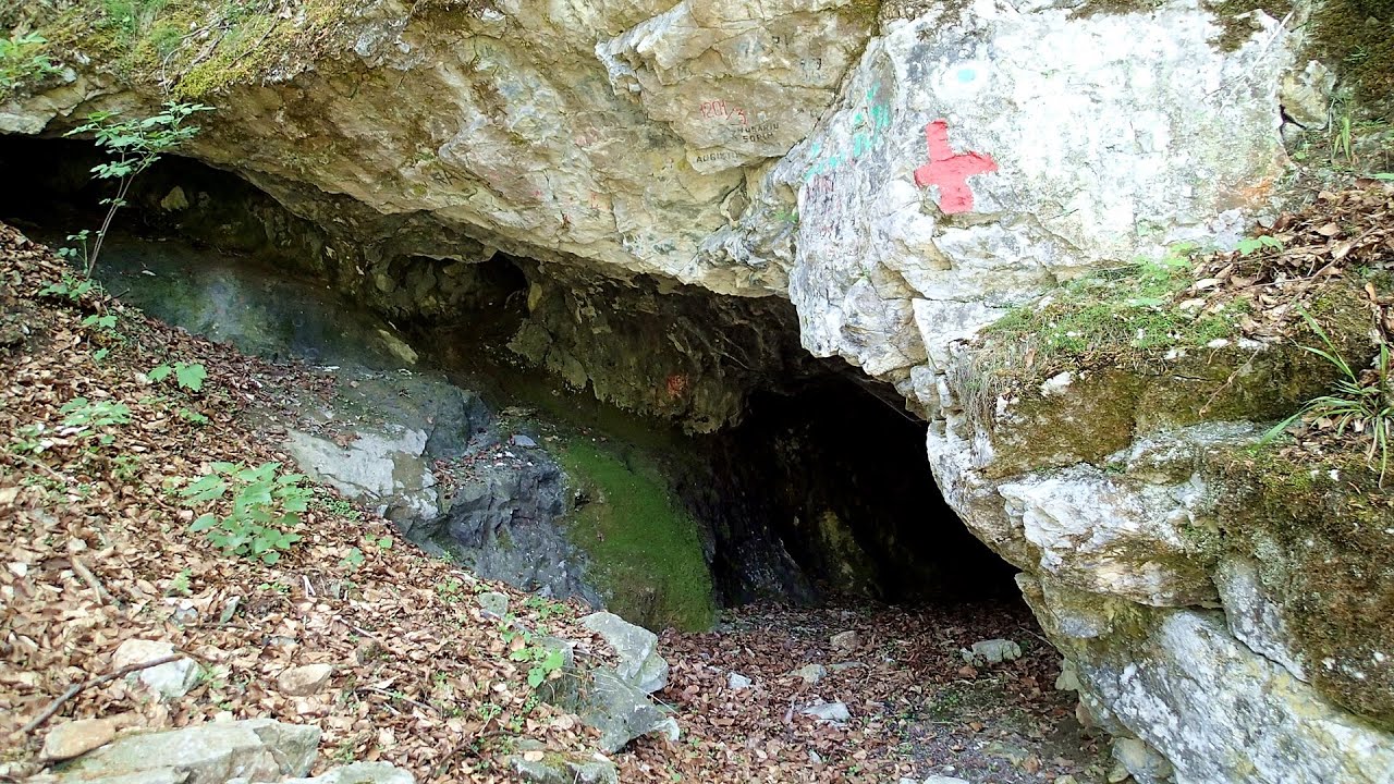
The Cave of Thieves (Pestera Hotilor, Tolvajos) - Apata 37.72 km away
The Cave of Thieves, located in the Olt Gorge at Racos, is situated at the source of the Tepeu creek. From the karst spring that emerges from the cave, one of the branches of the creek originates.
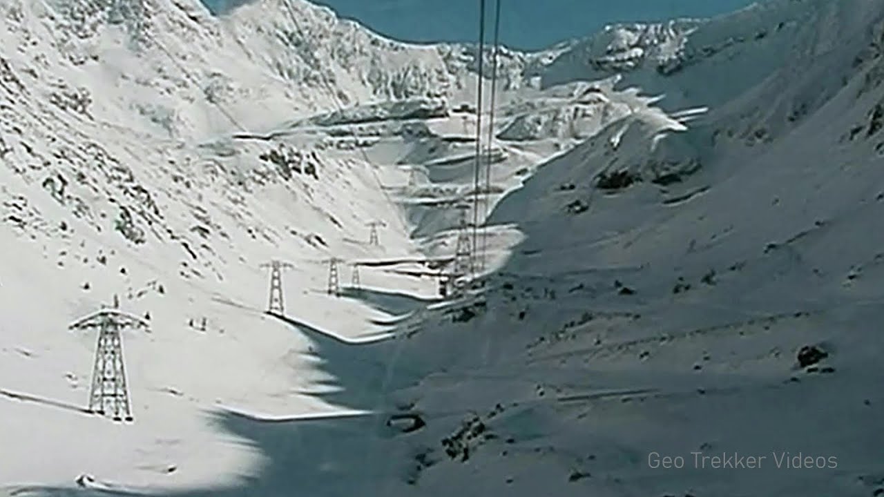
Snow-covered valley of Balea and the Transfagarasan in winter - The ascent 40.05 km away
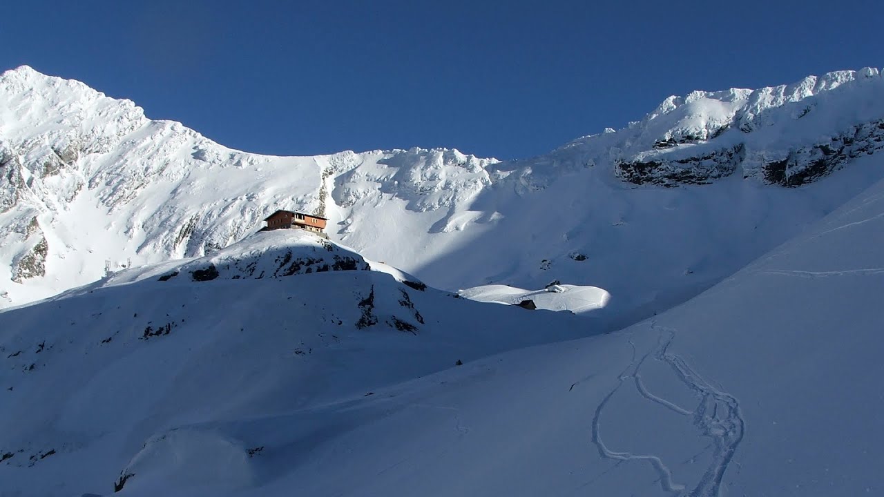
The Fagarasi Mountains can be easily approached from the north, mainly by using the Transfagarasan Road. This high altitude mountain road is only accessible during the summer months (throughout its entire length), but from the Balea Waterfall station (Statia Balea Cascada) you can also reach the Balea Lake by cable car.
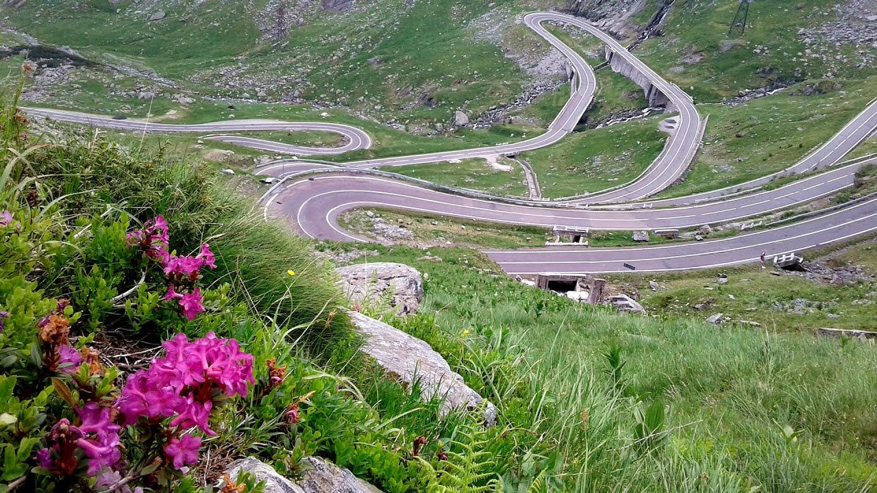
Balea waterfall and the Transfagarasan mountain_road 40.12 km away
Balea waterfall and the Transfagarasan mountain road - blue triangle marked trail, Balea valley, Fagaras Mountains, Southern Carpathians.
Other places
Iskar gorge (Lyutibrod) Temnata dupka cave (Lakatnik) 331.39 km away
The Iskar is the longest purely Bulgarian river, the oldest river in the Balkans, and a right tributary of the Danube. The river is 368 km long, with approximately 150 km consisting of a gorge.
The Iskar is the longest purely Bulgarian river, the oldest river in the Balkans, and a right tributary of the Danube. The river is 368 km long, with approximately 150 km consisting of a gorge.
Buzludzha monument Kazanluk 344.34 km away
Buzludzha is a historically significant mountain located in the Central Balkan Mountains of Bulgaria. At its summit, at an altitude of 1432 meters above sea level, there is an abandoned monument.
Buzludzha is a historically significant mountain located in the Central Balkan Mountains of Bulgaria. At its summit, at an altitude of 1432 meters above sea level, there is an abandoned monument.
Bicajel Gorge (Cheile Bicajelului) Hasmas Mountains 124.93 km away
Sugau Rock lookout point and iron path (B/C) 127.46 km away
Sugau Rock lookout point and iron path (B/C). Sugau Gorges - Munticelu Nature Reserve, Hasmas Mountains.
Sugau Rock lookout point and iron path (B/C). Sugau Gorges - Munticelu Nature Reserve, Hasmas Mountains.
[ Top ↑ ]
Copyright © 2003-2025 Trekkingklub and friends. Reproduction of any text, picture or video from this website, either in printed or electronic form, is prohibited without prior written permission. Website made with love  in Miercurea Ciuc.
 in Miercurea Ciuc.


