Sona pyramids | Photos


Page no. 1, photos: 1-10, 10 photos in total.

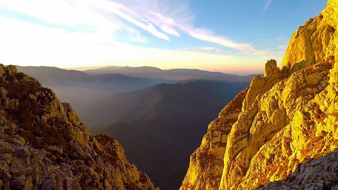
Fagaras Depression (Olt river valley).
Copyright © 2009 - 2025 Trekkingklub.com.
Already published 8983 photos and 180 videos. Please register for full and ad-free access.
Photos of nearby places


Thieves' Cave - Persani Mountains (20 photos) 34.78 km away
The Thieves' Cave at Apata is located in the valley of the Tepeu creek, renowned for its outcrop of red clayey limestone, which is very rich in ammonites. A tributary of the stream is formed by the waters of a spring fed by the watercourse coming from the cave's gallery.


Tower of King Rock (Turnul Pietrei Craiului) - Piatra Craiului Mountains (King Rock) (15 photos) 36.38 km away
Border Ravine Valley (Padina Hotarului), Turm des Königstein (Turnul Pietrei Craiului).

Middle Belt Trail - Piatra Craiului Mountains (King Rock) (114 photos) 36.89 km away
Ravine valley of Calinet (Padina lui Calinet) - Thermopylae - Anghelide's canyon.

Border Ravine Valley (Padina Hotarului), Northern ridge - Piatra Craiului Mountains (King Rock) (53 photos) 37.01 km away

[ Top ↑ ]
Videos of nearby places
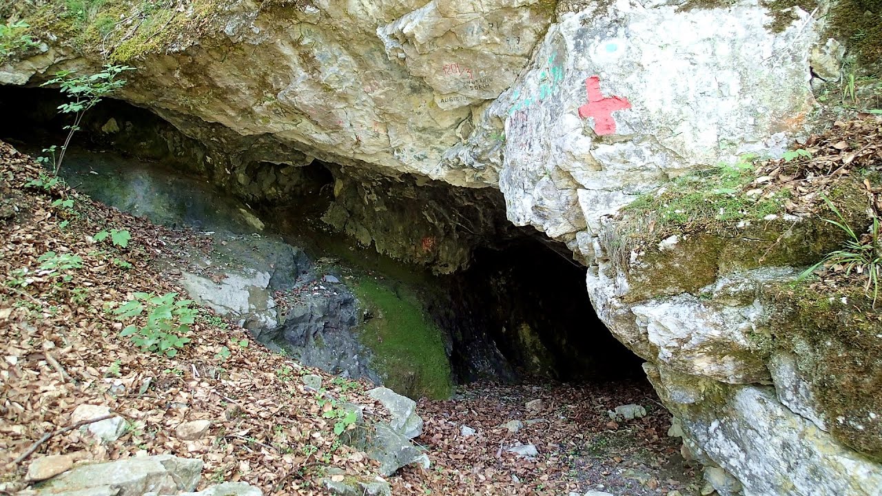
The Cave of Thieves (Pestera Hotilor, Tolvajos) - Apata 34.78 km away
The Cave of Thieves, located in the Olt Gorge at Racos, is situated at the source of the Tepeu creek. From the karst spring that emerges from the cave, one of the branches of the creek originates.

Snow-covered valley of Balea and the Transfagarasan in winter - The ascent 43.21 km away
The Fagarasi Mountains can be easily approached from the north, mainly by using the Transfagarasan Road. This high altitude mountain road is only accessible during the summer months (throughout its entire length), but from the Balea Waterfall station (Statia Balea Cascada) you can also reach the Balea Lake by cable car.
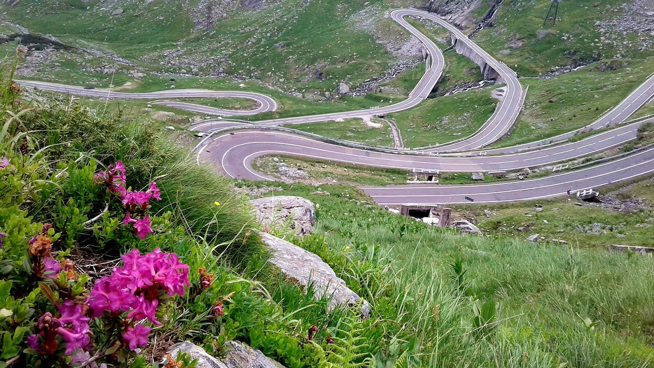
Balea waterfall and the Transfagarasan mountain_road 43.3 km away
Balea waterfall and the Transfagarasan mountain road - blue triangle marked trail, Balea valley, Fagaras Mountains, Southern Carpathians.

Dino Parc Rasnov 43.32 km away
On June 12, 2015, one of the largest dinosaur theme parks in the region opened in Rasnov, where we can see 45 life-sized dinosaurs. The facility is located directly next to the Rasnov Fortress, which is one of the best-preserved Transylvanian Saxon peasant fortresses.
Other places
Hili's cave Turda Gorge via ferrata 132.66 km away
While the first time I climbed this via ferrata (Sky Fly) in the morning, now I climbed it in the light of the setting sun. The red-dressed rocks created a special atmosphere, and I could admire the sunset from the top of the climbing route.
While the first time I climbed this via ferrata (Sky Fly) in the morning, now I climbed it in the light of the setting sun. The red-dressed rocks created a special atmosphere, and I could admire the sunset from the top of the climbing route.
Waterfalls of Velnita stone-quarry Targu Ocna 124.98 km away
Starting from the Velnita quarry, an adventurous nature enthusiast, accustomed to wild and rugged terrains, will discover a true waterfall paradise. At the upper part of the quarry, two streams converge.
Starting from the Velnita quarry, an adventurous nature enthusiast, accustomed to wild and rugged terrains, will discover a true waterfall paradise. At the upper part of the quarry, two streams converge.
Wild Ferenc iron path Suhardul Mic 118.67 km away
While I climbed the new iron path mostly in the dark for the first time, this time I managed to explore it during the day. But I still missed the sunset by a few minutes.
While I climbed the new iron path mostly in the dark for the first time, this time I managed to explore it during the day. But I still missed the sunset by a few minutes.
Bicajel Gorge (Cheile Bicajelului) Hasmas Mountains 120.96 km away
[ Top ↑ ]
[ Top ↑ ]
Select language: - Magyar - Romana - Deutsch - Français - Italiano - Español - Copyright © 2003-2025 Trekkingklub and friends. Reproduction of any text, picture or video from this website, either in printed or electronic form, is prohibited without prior written permission. The given distances are to be understood as straight line distances, and are approximate. Website made in Miercurea Ciuc