With snowshoes in the Tihu creek valley - Rastolita | Video


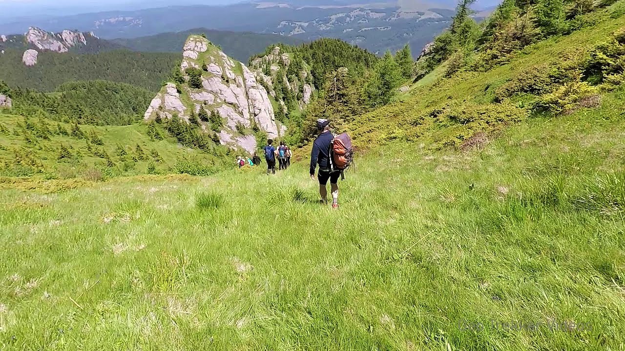
We met geotrekking treasure hunters from Gheorgheni, Miercurea Ciuc and Targu Mures in Rastolita. We entered the Calimani Mountains with an off-road vehicle, along the Rastolita and Tihu streams. As it turned out, the well-worn forest road can also be traveled by car for a good distance.
Read more
Filmed with GoPro HERO5 Black. Music: Winter Wonderland by D-Smilez. Copyright © 2017 - 2026 Geo Trekker Videos. Please register for full and ad-free access.
Airport nearby Transilvania International Airport (TGM - Recea, Ro), 88 km away from With snowshoes in the Tihu creek valley - Rastolita.
Photos of nearby places


The Old Women of Gurghiu stone mushrooms, Batrana Peak (16 photos) 30.2 km away. The Old Women of Gurghiu (Babele Gurghiului) stone mushrooms, Batrana Peak (Varful Batrana). In the Gurghiu Mountains, 10 km from Toplita, near the peak Batrana, there are several groups of strange rocks.

Borsec spa resort (9 photos) 36.8 km away. Borsec is one of the most beautifully situated resorts in the Eastern Carpathians. It consists of two parts: Lower Borsec and Upper Borsec, the latter being the actual resort area.

Bears cave, Ice Grotto - Borsec (12 photos) 37.3 km away. The Bears' cave is actually a deep rock fissure with a path leading into it. Local belief long considered it to be the habitat of bears, which is where the name comes from.

Stalactite Cave - Round Chair Hill, Borsec, Giurgeu Mountains (24 photos) 37.4 km away. The Stalactite Cave on the Round Chair Hill is the longest cave formed in travertine in the country. Its formation was mainly influenced by an open system of diaclases, which fragmented the travertine, with the contribution of infiltrated rainwater being essential in the transport and dissolution of limestone.

The Valleys of the Streams of the Cups and Rogozu (6 photos) 39.1 km away. The Valleys of the Streams of the Cups (Cupelor, Kupás) and Rogozu (Szacskai) - Borsec. September 7, 2003; September 14, 2003; November 10, 2007.

Hollow Stone - Gurghiu Mountains (5 photos) 46.2 km away. Hollow Stone (Likas Stone) - Gurghiu Mountains.

Table Rock - Gurghiu Mountains (10 photos) 47.1 km away. Table Rock (Asztal-kő, Stanca Mesei) - Gurghiu Mountains.

Isuica Valley - Becheci Peak (12 photos) 54.8 km away. Isuica (Iszulyka) Valley - Becheci (Bekecs) Peak.

Shepherd Stone - Gurghiu Mountains (8 photos) 56.6 km away. Shepherd Stone (Pakulárkő, Piatra Pacurarului) - Gurghiu Mountains.

Small Pine Stone - Gurghiu Mountains (8 photos) 59.5 km away. Small Pine Stone (Kisfenyős Stone) - Gurghiu Mountains.

Sugo Cave - Giurgeu Mountains (60 photos) 62.8 km away. The Sugó Cave is located at the western foot of Sipos Stone (1566 m) at an altitude of 1064 m above sea level. It consists of a system of passages with four levels, totaling 1021 m in length and a level difference of -60 m.


Pit cave with three entrances - Hasmas Mountains (3 photos) 65.6 km away. Pit cave with three entrances (Avenul cu trei intrari) - Hasmas Mountains.

White Glade, Horseshoe Rock (17 photos) 65.7 km away. White Glade (Poiana Alba), Horseshoe Rock (Piatra Potcoavei) - Hasmas Mountains.

Horseshoe Rock - Hasmas Mountains (9 photos) 65.7 km away. Horseshoe Rock (Piatra Potcoavei) - Hasmas Mountains.

White Glade - Hasmas Mountains (6 photos) 66.3 km away. White Glade (Poiana Alba) - Hasmas Mountains.

Black Hasmas - Hasmas Mountains (27 photos) 66.5 km away. Hasmasul Negru (Black Hasmas) - Hasmas Mountains.

Dry Valley canyon - Hasmas Mountains (9 photos) 67 km away. Dry Valley (Paraului Sec) canyon - Hasmas Mountains.

Lazar peak - Hasmas Mountains (18 photos) 68.5 km away. The pit under the Lazar peak 2004-09-02, 2014-11-27.
[ Top ↑ ]
Videos of nearby places
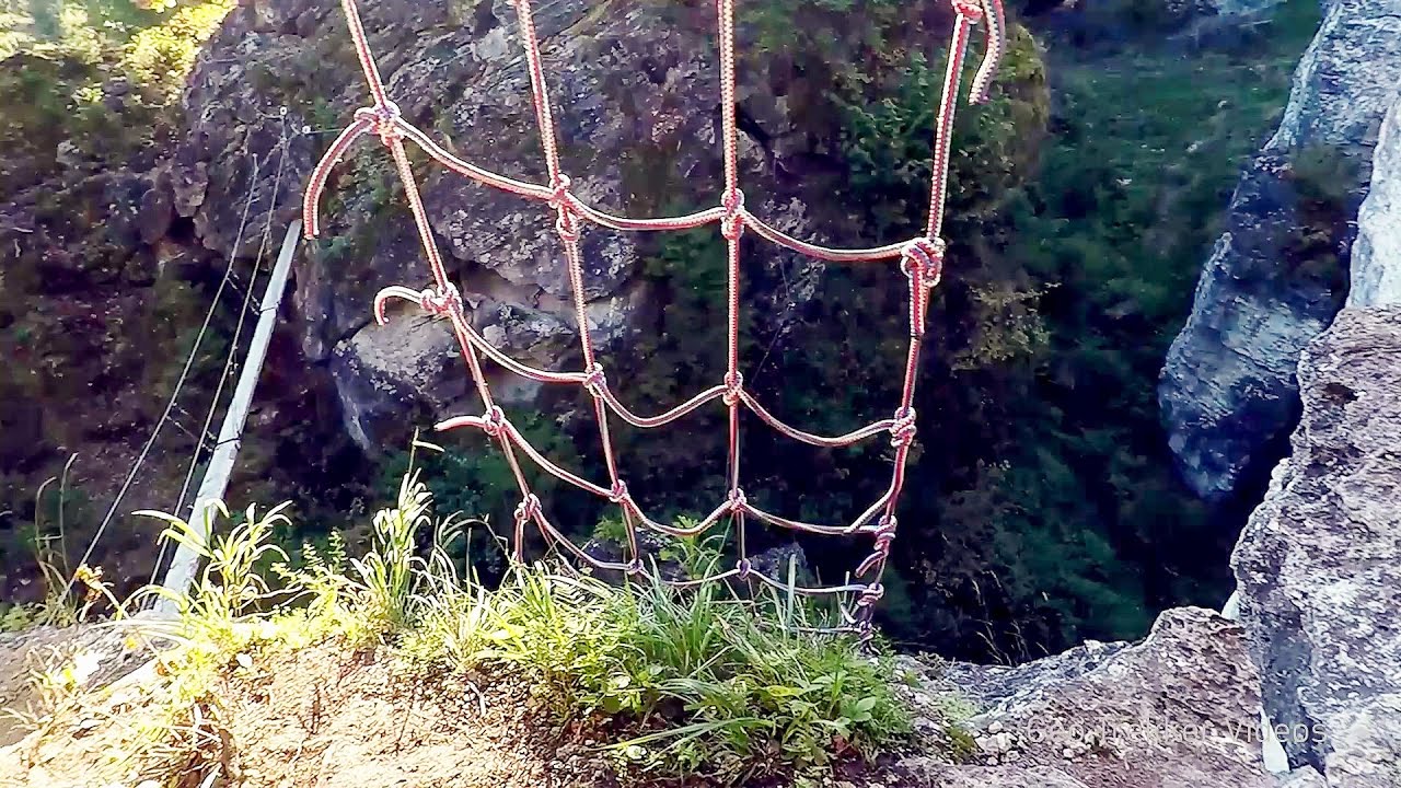
Via ferrata Bear Cave adventure and climbing zone - Borsec 37.3 km away. The Bear Cave in Borsec is a vast natural formation, scattered with rocks and deep crevices. Access to the cave's cavities is through a series of narrow formations resembling canyons, surrounded by giant fir trees and rocks with interesting shapes.
Falco Tinnunculus via ferrata, the ascent - Falcons Rock, Corbu 45.2 km away. Falco Tinnunculus (Common kestrel) via ferrata (E), the ascent - Falcon's Rock, Corbu. Over Corbu village in Harghita County, on the rocks of Falcon's Rock (Piatra Soimilor), which belong to the Bistrita Mountains, five via ferrata routes have been established.
Falco Peregrinus 2 via ferrata - Falcons Rock, Corbu 45.2 km away. Falco Peregrinus (Peregrine falcon) 2 via ferrata (D) - Falcon's Rock, Corbu.
Falco Peregrinus via ferrata - Falcons Rock, Corbu 45.3 km away. Falco Peregrinus (Peregrine falcon) via ferrata (B/C) - Falcon's Rock, Corbu.
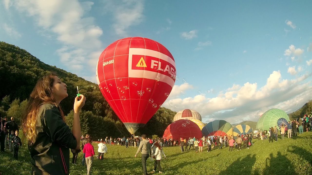
Hot air balloon parade 2015 - Campu Cetatii 48.2 km away. This year, the Hot Air Balloon Parade was organized in Campu Cetatii for the tenth time. Unfortunately, the weather only allowed for flying on Saturday morning and evening.
Other places
Lipovac via ferrata and monastery of Saint Stephen 468.8 km away. Difficulty level B, total length: 190 m, height difference: 90 m, year of construction: 2022. It is necessary to contact the PSK Brđanka club to obtain the key for the ladders at the entrance of the via ferrata.

Via Ferrata Fairy Castle Vadu Crisului 197.5 km away. Via Ferrata Fairy Castle (Castelul Zanelor, Casa Zmeului, The House of the Dragon) - Vadu Crisului. South of Vadu Crisului, in the Padurea Craiului Mountains, lies the Vadu Crisului Gorge, a section of the Crisul Repede river that narrows between rocky walls.

Devils Bridge Ardino The Devil's Bridge (Dyavolski Most, in Turkish Sheytan Kyupriya) is located in the gorge of the Arda River, just north of the town of Ardino in Bulgaria. It was constructed in the early 16th century, between 1515 and 1518, by an architect named Dimitar, on the remains of an earlier Roman bridge.

Crystal Cave at Farcu Mine 206.4 km away. In the Padurea Craiului Mountains, near Rosia, in the Farcu bauxite mine, in 1987, the miners accidentally discovered a cave. It was filled with crystal-shaped limestone formations.
Suchurum waterfall Karlovo 494.5 km away. The 15-meter-high Suchurum Waterfall is located at the foot of the Stara Planina mountain range, 1 km north of the town of Karlovo in Bulgaria. It is situated below the Karlovo hydroelectric power plant, on the waters of the Stara Reka stream.
Foamy valley waterfall Bucegi Mountains 190 km away. Access to the Foamy valley waterfall (Cascada Valea Spumoasa) is made from the town of Busteni. The starting point is the lower station of the cable car that ascends to the Babele cabin.

Pisoaia waterfall Vidra 188.9 km away. Pisoaia waterfall (Pisoaia Vidrii, Urine of the otter) - Nemesi, Vidra.

[ Top ↑ ]
Copyright © 2003-2026 Trekkingklub and friends. Reproduction of any text, picture or video from the With snowshoes in the Tihu creek valley - Rastolita website, either in printed or electronic form, is prohibited without prior written permission.
The given distances are to be understood as straight line distances, and are approximate. Website made in Miercurea Ciuc  .
.