Tourist attractions near Bulzestii de Jos (Bulzestii de Sus, Hunedoara county, Romania)
Photos of nearby places


Goats Ledge - Trascau Mountains (10 photos) 55.1 km away. Goats Ledge (Brana Caprei, Kecskék párkánya) - Trascau Mountains .

Dark Blue Bruises of the Ponor - Trascau Mountains (16 photos) 56.1 km away. The Dark Blue Bruises of the Ponor (Vanatarile Ponorului) is a polje-type protected area. Polje is a Slovenian word meaning plain, and it refers to a surface karst form.

Stone of Cetea, Horse Pit - Trascau (16 photos) 57 km away. Stone of Cetea, Horse Pit (The pit cave from the Stone of Cetea) - Trascau Mountains.

Dark Blue Bruises of the Ponor, Bedeleu (24 photos) 57.3 km away. Dark Blue Bruises of the Ponor (Vanatarile Ponorului), Bedeleu - Trascau Mountains.

Goat Stone - Craiva, Trascau Mountains (18 photos) 57.4 km away. Goat Stone (Piatra Craivii, Piatra Craivei, Apulon) - Craiva, Trascau Mountains.

Balcony Clearing - Trascau Mountains (6 photos) 57.5 km away. Balcony Clearing (Erkély-tisztás, Balconul Sipotelor) - Trascau Mountains.


Aries valley - Trascau Mountains (10 photos) 58.4 km away. Aries (Golden) valley - Trascau Mountains.

Valley of Hell - Padurea Craiului Mountains (23 photos) 62.2 km away. Valley of Hell (Valea Iadului) - Padurea Craiului Mountains.

Kings Cave - Padurea Craiului Mountains (48 photos) 66 km away. Craiului (Kings) Cave - Padurea Craiului Mountains.

Fern Cave - Padurea Craiului Mountains (9 photos) 66.9 km away. Ferigi (Fern) Cave - Padurea Craiului Mountains.

Szekler Stone North - Trascau Mountains (8 photos) 67.7 km away. Szekler Stone North (Piatra Secuilor Nord) - Trascau Mountains.

Szekler Stone - Trascau Mountains (42 photos) 67.7 km away. Szekler Stone (Székely-kő, Piatra Secuilor) - Trascau Mountains.

Sohodol pit cave - Padurea Craiului Mountains (10 photos) 70.4 km away. Sohodol pit cave (Avenul Sohodol) - Padurea Craiului Mountains.

Oxen Waterfall - Padurea Craiului Mountains (12 photos) 71.3 km away. Oxen Waterfall (Cascada Boilor) - Padurea Craiului Mountains.

Moanei Cave - Padurea Craiului Mountains (58 photos) 72.1 km away. The Moanei Cave (Pestera Moanei) is located on the upper course of the Misid River, on the right side of the Misid Gorge (Cheilor Misidului). The cave has two entrances, one fossil and sloped, while a subterranean stream flows through the active gallery.

Napistileu cave - Padurea Craiului (10 photos) 75.5 km away. Napistileu (Ungurul Mic) cave - Padurea Craiului Mountains.
[ Top ↑ ]
Videos of nearby places

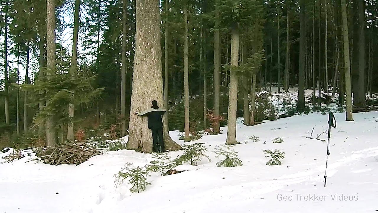
Pisoaia waterfall - Vidra 14.5 km away. Pisoaia waterfall (Pisoaia Vidrii, Urine of the otter) - Nemesi, Vidra.

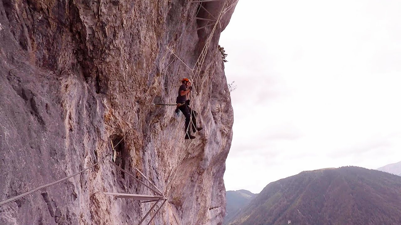
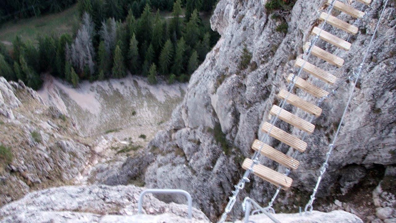
Black Rocks iron path - Bihor Mountains 28.9 km away. Black Rocks is located in the Bihor Mountains, near the Vartop Saddle, to the west of it. It is interesting that the locals (if I understood correctly) do not know this name, but use the name Piatra Buna (meaning Good Stone) for this spectacular rock.


Other places
Giant fir trees Ghimes 247.3 km away. One of the lesser-known attractions of Ghimes is the two giant-sized common fir trees. They are 42 meters tall, and have diameters of 110 cm and 130 cm at chest height.

Walking to the top of Sumuleul Mare Sumuleu Ciuc 238.2 km away. This was my first attempt at shooting a video.
Play Wall via ferrata park Mariazeller via ferrata, Felixs Ladder to the Heaven, Devils Bridge Located only ten kilometers from the town of Mariazell, you'll find the via ferrata park known as the Play Wall (Klettersteigpark Spielmäuer). Here, we find three via ferratas: Olivers Mariazeller Steig (B/C), Felix Himmelleiter (D), and Tristans Kirchbogensteig (C).
Wild Ferenc iron path Suhardul Mic 240.6 km away. While I climbed the new iron path mostly in the dark for the first time, this time I managed to explore it during the day. But I still missed the sunset by a few minutes.
Abandoned Sports Hall Varna An abandoned sports hall in Varna, with an unfinished dormitory and tennis courts across three levels.

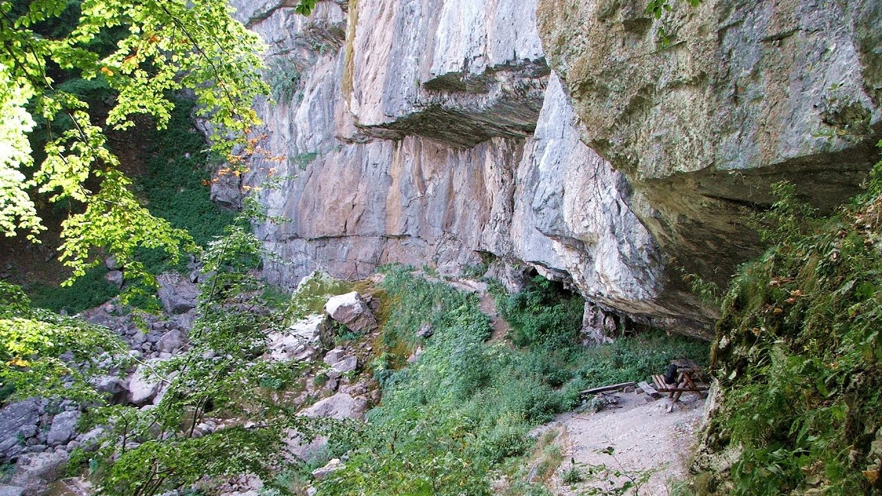
Corcoaia Gorge Gorj county 126.3 km away. The Corcoaia Gorge is one of the most beautiful tourist attractions in the Cerna Valley. It can be reached by car, 43 km away from Baile Herculane, of which about 17 km is on a dusty gravel road.
Borov Kamak waterfall Zgorigrad, Vratsa 351.7 km away. The Vratsa eco-trail starts from the village of Zgorigrad, located 6 km from the city of Vratsa in Bulgaria, and ends at the Parshevitza hut. It is also known as the Zgorigradska or Borov Kamak eco-trail.

Belogradchik fortress 294.2 km away. Belogradchik is located in the northwestern part of Bulgaria, in the Vidin Province, at the foot of the Balkan Mountains, near the Serbian border. Its name means little white town.
Stone Beach Sinemorets Stone Beach (Kamenniat plazh) - Sinemorets.
[ Top ↑ ]
Copyright © 2003-2026 Trekkingklub and friends. Reproduction of any text, picture or video from this website, either in printed or electronic form, is prohibited without prior written permission. Website made with love  in Miercurea Ciuc.