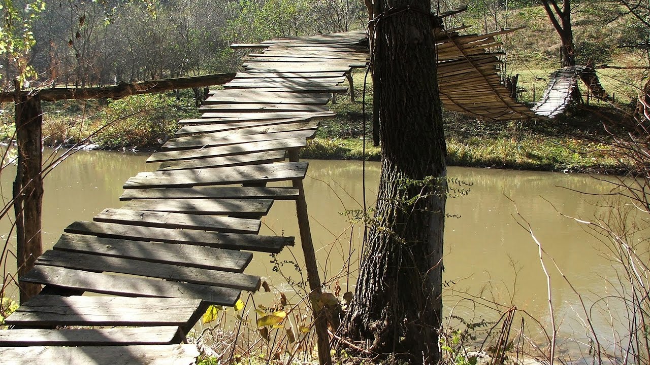
Poarta lui Ionel cave | Photos


Page no. 1, photos: 1-6, 6 photos in total.

Copyright © 2005 - 2025 Trekkingklub.com.
Already published 8983 photos and 180 videos. Please register for full and ad-free access.
Photos of nearby places


[ Top ↑ ]
Videos of nearby places


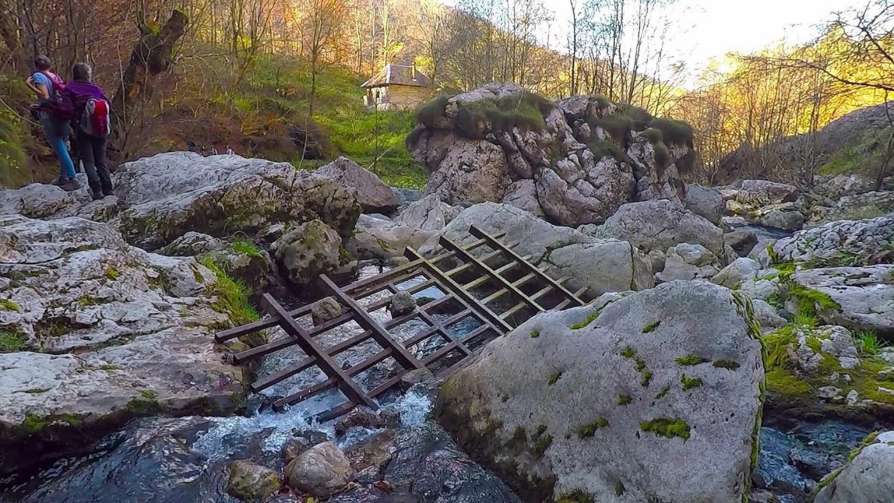
Black Rocks iron path - Bihor Mountains 16.83 km away
Black Rocks is located in the Bihor Mountains, near the Vartop Saddle, to the west of it. It is interesting that the locals (if I understood correctly) do not know this name, but use the name Piatra Buna (meaning Good Stone) for this spectacular rock.

Meziad cave - Padurea Craiului Mountains 42.95 km away
The Meziad Cave is located near the village of Meziad, 22 km north of Beius, in the Padurea Craiului Mountains. It is one of our first tourist caves, its exploration is associated with the name of Gyula Czárán, cave researcher and writer.
Other places
Hodoaba Valley iron path Suncuius 56.4 km away
The Hodoaba Valley iron path is Romania's shortest and easiest (official) via ferrata route. It is located near Suncuius, in the Padurea Craiului Mountains, on the left bank of the Crisul Repede River.
The Hodoaba Valley iron path is Romania's shortest and easiest (official) via ferrata route. It is located near Suncuius, in the Padurea Craiului Mountains, on the left bank of the Crisul Repede River.
Roman Baths Geoagiu-Bai, Metaliferi Mountains 63.99 km away
Pricske peak Giurgeu Mountains 214.93 km away
If we want to reach Pricske (Prisca) peak, which rises above Gheorgheni and Lazarea, we start from the valley of the Güdüc (Ghidut) stream. Our path leads us past the ruins of a building known as the White House.
If we want to reach Pricske (Prisca) peak, which rises above Gheorgheni and Lazarea, we start from the valley of the Güdüc (Ghidut) stream. Our path leads us past the ruins of a building known as the White House.
Snow-covered valley of Balea and the Transfagarasan in winter The ascent 164.69 km away
The Fagarasi Mountains can be easily approached from the north, mainly by using the Transfagarasan Road. This high altitude mountain road is only accessible during the summer months (throughout its entire length), but from the Balea Waterfall station (Statia Balea Cascada) you can also reach the Balea Lake by cable car.
The Fagarasi Mountains can be easily approached from the north, mainly by using the Transfagarasan Road. This high altitude mountain road is only accessible during the summer months (throughout its entire length), but from the Balea Waterfall station (Statia Balea Cascada) you can also reach the Balea Lake by cable car.
Nobody's lake Miercurea Ciuc 224.44 km away
The passage of time (time lapse), dusk at Nobody's Lake. Miercurea Ciuc and the Sumuleu mountain can be seen in the background.
The passage of time (time lapse), dusk at Nobody's Lake. Miercurea Ciuc and the Sumuleu mountain can be seen in the background.
[ Top ↑ ]
[ Top ↑ ]
Copyright © 2003-2025 Trekkingklub and friends. Reproduction of any text, picture or video from this website, either in printed or electronic form, is prohibited without prior written permission.
The given distances are to be understood as straight line distances, and are approximate. Website made in Miercurea Ciuc  .
.