Hodoaba Valley iron path - Suncuius | Video


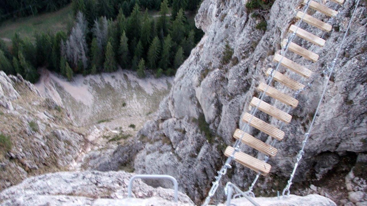
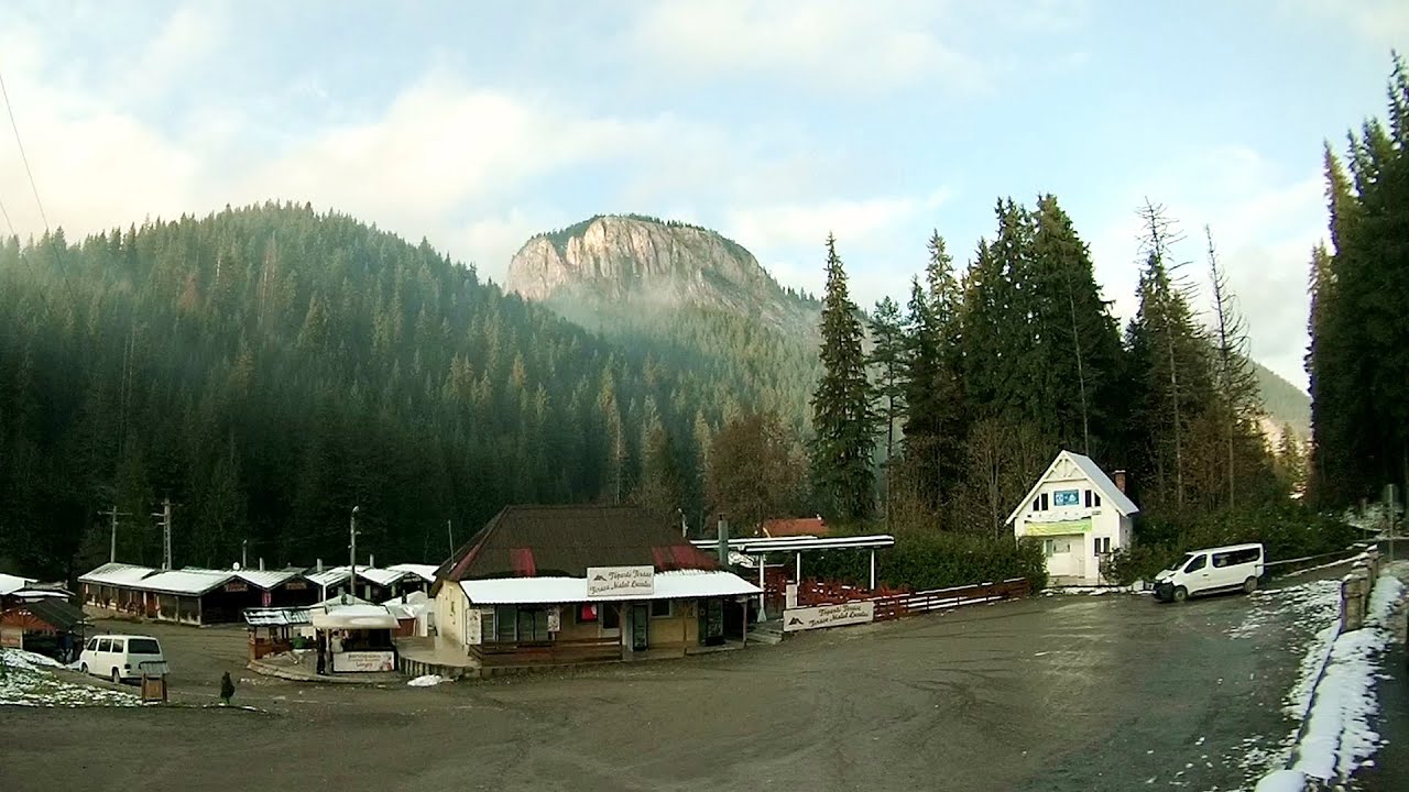
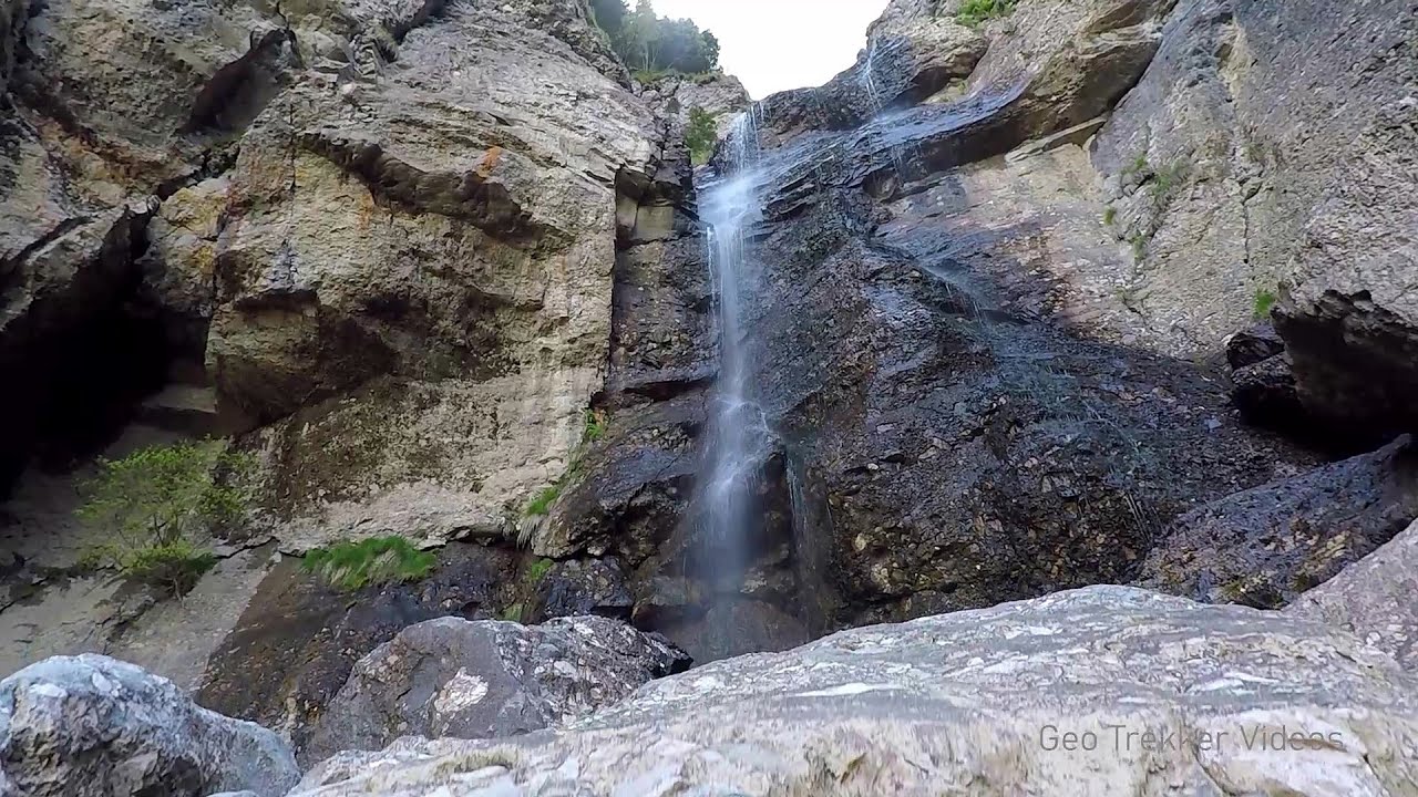
The Hodoaba Valley iron path is Romania's shortest and easiest (official) via ferrata route. It is located near Suncuius, in the Padurea Craiului Mountains, on the left bank of the Crisul Repede River. Read more
Rock climbing and via ferrata - Padurea Craiului Mountains Romania - Via ferrata and rock climbing Padurea Craiului Mountains Romania
Filmed with SJCAM SJ5000 Plus. Music: Calling by Dexter Britain. Copyright © 2016 - 2025 Geo Trekker Videos. Please register for full and ad-free access.
Airport nearby: Oradea International Airport (OMR - Oradea, Ro), 50 km away.
Photos of nearby places


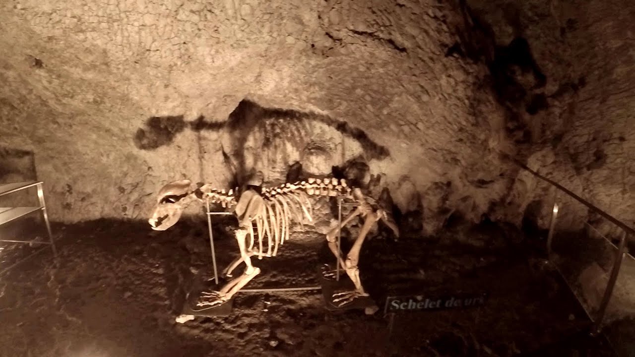
Cave of Winds (Pestera Vantului) - Padurea Craiului Mountains (24 photos) 0.8 km away. The Cave of Winds is located in the Padurea Craiului Mountains, not far from Frantura meadow, near Suncuius, on the left geographical side of the Crisul Repede River.


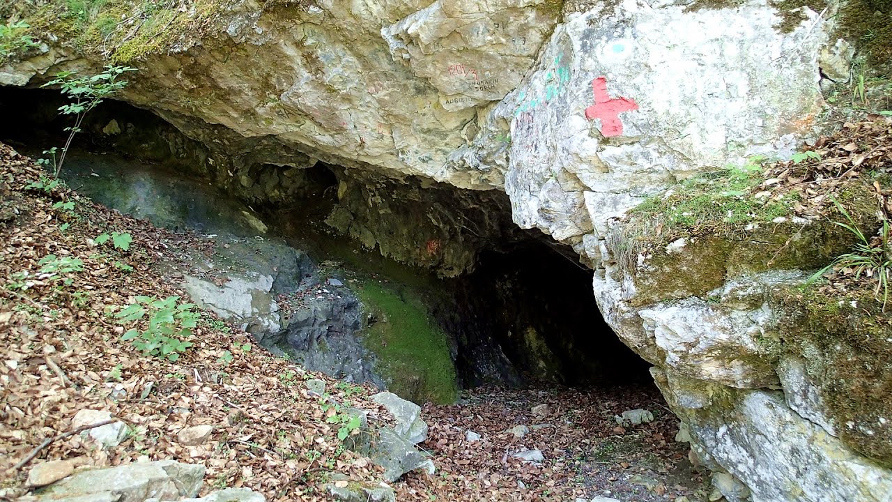
Moanei Cave (Pestera Moanei) - Padurea Craiului Mountains (58 photos) 4 km away. The Moanei Cave is located on the upper course of the Misid River, on the right side of the Misid Gorge (Cheilor Misidului).


[ Top ↑ ]
Videos of nearby places

Acapulco's spur via ferrata 0.7 km away. Acapulco's spur (Pintenul lui Acapulco) via ferrata (B/C) - Montana Land, Suncuius.


Vadu Crisului cave 4.3 km away. The Vadu Crisului Cave, with a total length of over 1000 meters, is located in the picturesque gorge of Crisul Repede creek.

Fairy Cliff (Peretele Zanelor) via ferrata route - Vadu Crisului 4.9 km away. In Vadu Crisului, in the Padurea Craiului Mountains, on the right bank of the Crisul Repede, you can find the newest, in chronological order (2015) the fifth Transylvanian, new type of via ferrata route.

Via Ferrata Fairy Castle (Castelul Zanelor, Casa Zmeului, The House of the Dragon) - Vadu Crisului 5.1 km away. South of Vadu Crisului, in the Padurea Craiului Mountains, lies the Vadu Crisului Gorge, a section of the Crisul Repede river that narrows between rocky walls.

Crystal Cave at Farcu Mine 15.9 km away. In the Padurea Craiului Mountains, near Rosia, in the Farcu bauxite mine, in 1987, the miners accidentally discovered a cave.
Other places
Wild Ferenc iron path Suhardul Mic 247.1 km away. While I climbed the new iron path mostly in the dark for the first time, this time I managed to explore it during the day.
Wild Ferenc memorial path Suhardul Mic 247.2 km away. In recent days, this news has been everywhere: the via ferrata route built on the southwest wall of Suhardul Mic (Little Suhard) has finally been completed and inaugurated.
Muierii Cave (Pestera Muierilor) Baia de Fier 214.7 km away. We visited the Baia de Fier area, and climbed on the rock that also conceals the Women's Cave (Pestera Muierilor).
The Cave of Thieves Apata 247.2 km away. The Cave of Thieves (Pestera Hotilor, Tolvajos), located in the Olt Gorge at Racos, is situated at the source of the Tepeu creek.
Upstream of the Izvorul Dorului (Source of longing) creek Vanturis waterfalls, Bucegi Mountains 286.7 km away.
[ Top ↑ ]
Copyright © 2003-2025 Trekkingklub and friends. Reproduction of any text, picture or video from this website, either in printed or electronic form, is prohibited without prior written permission.
The given distances are to be understood as straight line distances, and are approximate. Website made in Miercurea Ciuc  .
.