Saint Anne lake - Ciomat-Puturosu | Video

Lake Saint Anna is the only well-preserved volcanic crater lake in Eastern Europe. Here are some images from an afternoon outing.
Filmed with GoPro HERO5 Black. Music: Scenery by Kai Engel. Copyright © 2017 - 2025 Geo Trekker Videos.
Already published 8983 photos and 180 videos. Please register for full and ad-free access.
Photos of nearby places


[ Top ↑ ]
Videos of nearby places

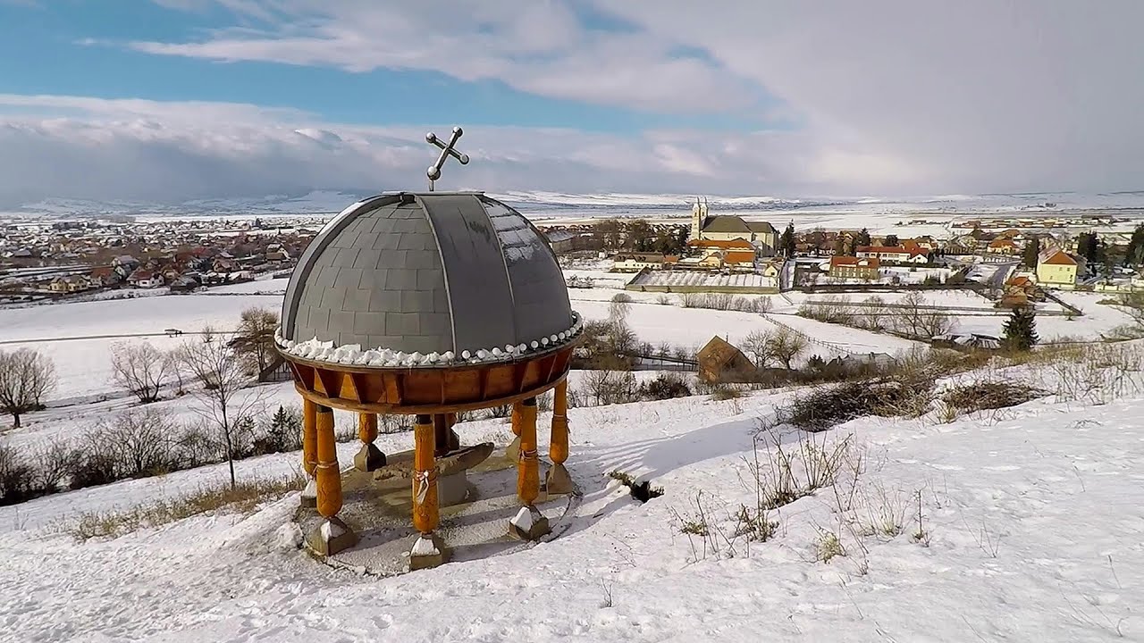
Preacher's Rock - Bodoc Mountains 12.26 km away
In the Bodoc Mountains, west-southwest from the Henter peak, we find a rock formation shaped like a mushroom by erosion, called Preacher's Rock. This 2-meter high rock probably got its name from the pagan Hungarian priests, who preached here in the past.


Nobody's lake - Miercurea Ciuc 27.03 km away
The passage of time (time lapse), dusk at Nobody's Lake. Miercurea Ciuc and the Sumuleu mountain can be seen in the background.

Walking to the top of Sumuleul Mare - Sumuleu Ciuc 27.25 km away
This was my first attempt at shooting a video.
Other places
Wild Ferenc iron path Suhardul Mic 75.11 km away
While I climbed the new iron path mostly in the dark for the first time, this time I managed to explore it during the day. But I still missed the sunset by a few minutes.
While I climbed the new iron path mostly in the dark for the first time, this time I managed to explore it during the day. But I still missed the sunset by a few minutes.
Devetashka cave Devetaki 331.25 km away
The Devetashka Cave is located in Bulgaria, near the village of Devetaki. After the entrance portal, which measures 30 m by 35 m, there is a vast open chamber that is 110 meters wide and 359 meters long.
The Devetashka Cave is located in Bulgaria, near the village of Devetaki. After the entrance portal, which measures 30 m by 35 m, there is a vast open chamber that is 110 meters wide and 359 meters long.
Waterfalls of Velnita stone-quarry Targu Ocna 55.31 km away
Starting from the Velnita quarry, an adventurous nature enthusiast, accustomed to wild and rugged terrains, will discover a true waterfall paradise. At the upper part of the quarry, two streams converge.
Starting from the Velnita quarry, an adventurous nature enthusiast, accustomed to wild and rugged terrains, will discover a true waterfall paradise. At the upper part of the quarry, two streams converge.
Foamy valley waterfall (Cascada Valea Spumoasa) Bucegi Mountains 85.01 km away
Access to the Foamy valley waterfall (Cascada Valea Spumoasa) is made from the town of Busteni. The starting point is the lower station of the cable car that ascends to the Babele cabin.
Access to the Foamy valley waterfall (Cascada Valea Spumoasa) is made from the town of Busteni. The starting point is the lower station of the cable car that ascends to the Babele cabin.
[ Top ↑ ]
[ Top ↑ ]
Copyright © 2003-2025 Trekkingklub and friends. Reproduction of any text, picture or video from this website, either in printed or electronic form, is prohibited without prior written permission.
The given distances are to be understood as straight line distances, and are approximate. Website made in Miercurea Ciuc  .
.