Belogradchik fortress | Video


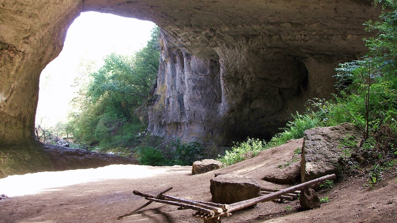
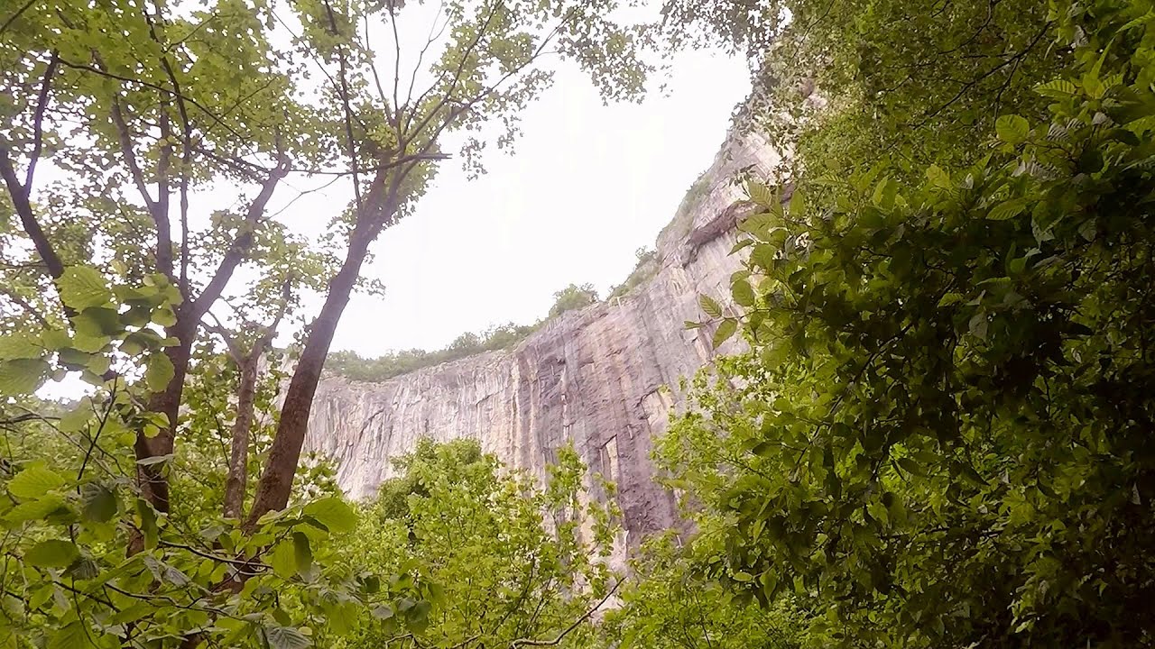
Belogradchik is located in the northwestern part of Bulgaria, in the Vidin Province, at the foot of the Balkan Mountains, near the Serbian border. Its name means little white town. Although it has many other points of interest, its most important attraction is the fortress of the same name, as well as the unique rock formations that surround it.
Read more
Filmed with GoPro HERO5 Black. Music: 2044 by Alasdair Cooper. Copyright © 2017 - 2026 Geo Trekker Videos. Please register for full and ad-free access.
Airport nearby: Sofia Airport (SOF - Sofia, Bg), 119 km away.
Photos of nearby places


[ Top ↑ ]
Videos of nearby places
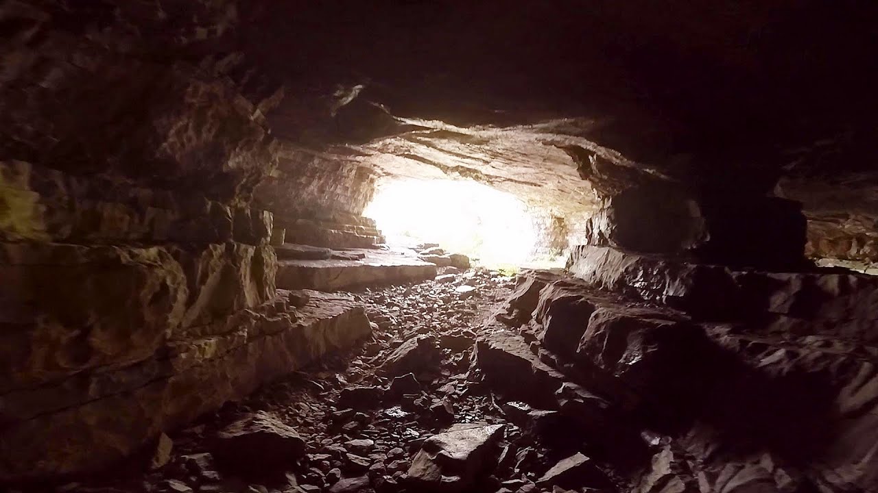
Gods bridge - Vratsa 78.5 km away. Anyone who has been to Bulgaria may be familiar with the Prohodna Cave, affectionately known as the Eyes of God; the Devetashka Cave, illuminated by seven windows in its ceiling. And perhaps they have also seen the Wonderful Bridges in the Rhodope Mountains.
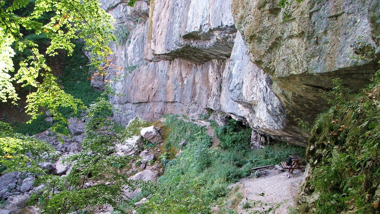
Iskar gorge Lyutibrod - Temnata dupka cave Lakatnik 82.5 km away. The Iskar is the longest purely Bulgarian river, the oldest river in the Balkans, and a right tributary of the Danube. The river is 368 km long, with approximately 150 km consisting of a gorge.
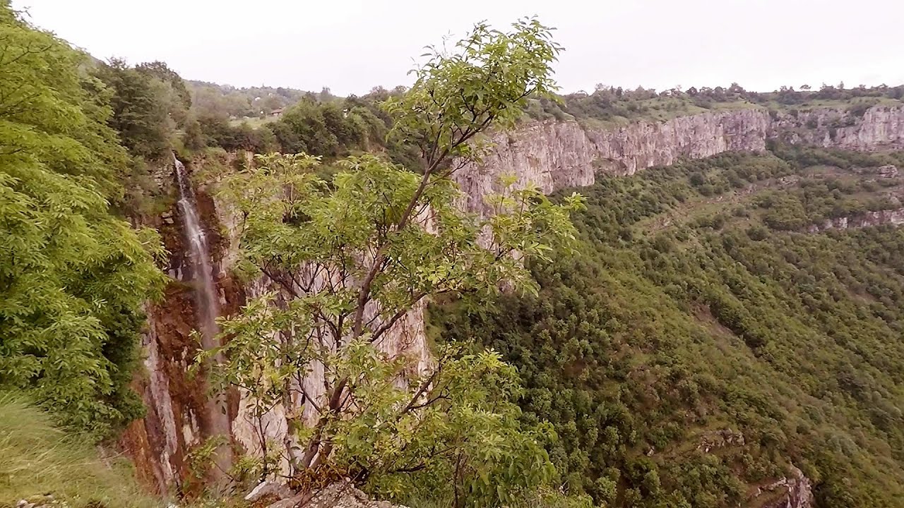
Bovska Skaklya waterfall - Iskar gorge 84.1 km away. The Bovska Skaklya waterfall is located near the town of Svoge in Bulgaria. The waterfall formed on the Zaselska River has several reported heights online (120 m, 85 m).
Borov Kamak waterfall - Zgorigrad, Vratsa 85 km away. The Vratsa eco-trail starts from the village of Zgorigrad, located 6 km from the city of Vratsa in Bulgaria, and ends at the Parshevitza hut. It is also known as the Zgorigradska or Borov Kamak eco-trail.
Skaklya waterfall - Vratsa 85.9 km away. The largest seasonal waterfall in Bulgaria plunges down from a height of 141 meters. It is located in the Vratsa Mountain National Park, just one and a half kilometers away from the city of Vratsa.
Other places
Falco Peregrinus via ferrata Falcons Rock, Corbu 445.5 km away. Falco Peregrinus (Peregrine falcon) via ferrata (B/C) - Falcon's Rock, Corbu.
Sugau Stone lookout point and iron path, Sugau Gorge Munticelu 434.2 km away. Sugau Stone lookout point and iron path (B/C), Sugau Gorge - Munticelu Nature Reserve.
Byala Reka eco-trail Kalofer 214.2 km away. The Byala Reka eco-trail is situated at the foot of the Stara Planina mountain range, 8 km from the town of Kalofer. A 1,830-meter-long hiking trail has been established along the White Creek within the Central Balkan National Park.
Snow-covered valley of Balea and the Transfagarasan in winter The ascent 271 km away. The Fagarasi Mountains can be easily approached from the north, mainly by using the Transfagarasan Road. This high altitude mountain road is only accessible during the summer months (throughout its entire length).
Ladys Stones Rarau Mountains 480.8 km away. The Lady's Stones represent the heart, the mind, and the soul. The first two only help to understand the world when one possesses knowledge (they can be climbed with rock climbing gear), as emotions and thoughts (the two rock towers) obscure reality (the view).
Berim via ferrata Zubin Potok 187.2 km away. Difficulty level D, total length: 4 km, height difference: 520 m, year of construction: 2015. Climbing season: May 1 - October 30.
Siklós castle 425.5 km away. The Siklós Castle is an important historical landmark in Hungary. Its fortress walls were laid around 1260, with the first written record dating back to 1294.
The Heart of Jesus look-out Lupeni 368.7 km away. Through the mud on Gordon Mountain, above Farkaslaka (Lupeni commune, Harghita county, Transilvania), on a cloudy afternoon, at the end of February. The destination is the Heart of Jesus lookout, nicknamed as Pléhkrisztus (The Tin Christ).
Pricske peak Giurgeu Mountains 420.9 km away. If we want to reach Pricske (Prisca) peak, which rises above Gheorgheni and Lazarea, we start from the valley of the Güdüc (Ghidut) stream. Our path leads us past the ruins of a building known as the White House.
Stan Valley Canyon 247 km away. The Stan Valley is located near Lake Vidraru, southwest of it, in the Fruntii Mountains. Those who have visited the Seven Ladders Waterfall will appreciate this canyon, outfitted with infrastructure for tourist accessibility.
Seven Ladder Canyon and Waterfall Piatra Mare Mountain 319.2 km away. The Seven Ladder Gorge is the largest and most spectacular gorge in the Piatra Mare massif. The narrow canyon has a length of 160 meters, and over a drop of 58 meters includes 7 bigger and several smaller waterfalls.
Walking to the top of Sumuleul Mare Sumuleu Ciuc 393.8 km away. This was my first attempt at shooting a video.
Amazing Bridges Zabardo 253.8 km away. The Amazing Bridges (Chudni Mostove, Wonderful Bridges) are natural stone bridges. They are located in the Rhodope Mountains, in the Smolyan Province of Bulgaria, within the valley of the Erkyupriya River, at an altitude of 1,450 meters above sea level.
Turcinovac via ferrata and cave Ovcar Banja 201.8 km away. Difficulty level B, total length: 60 m, height difference: 45 m, year of construction: 2010. Climbing the via ferrata is only permitted with the approval of the Extreme Sports Club Armadillo from Cacak, and there is a fee for it.
Other destinations
Lipovac via ferrata and monastery of Saint Stephen 68 km away. Difficulty level B, total length: 190 m, height difference: 90 m, year of construction: 2022. It is necessary to contact the PSK Brđanka club to obtain the key for the ladders at the entrance of the via ferrata.
Gornjak via ferrata and Kudelinovs fortress Zdrelo 117.3 km away. Difficulty level C/D, total length: 400 m, height difference: 330 m, year of construction: 2019, total length of the route to Kudelinov's fortress: 1100 m. Access to the via ferrata is free.
Natural stone bridge Aglen 140.7 km away. Natural stone arch on the Vit river, near the village of Aglen. Crocodile shaped rock, Elephant rock.
Berim via ferrata Zubin Potok 187.2 km away. Difficulty level D, total length: 4 km, height difference: 520 m, year of construction: 2015. Climbing season: May 1 - October 30.
[ Top ↑ ]
Copyright © 2003-2026 Trekkingklub and friends. Reproduction of any text, picture or video from this website, either in printed or electronic form, is prohibited without prior written permission.
The given distances are to be understood as straight line distances, and are approximate. Website made in Miercurea Ciuc  .
.