Lednica iron path - Brestnitsa | Video


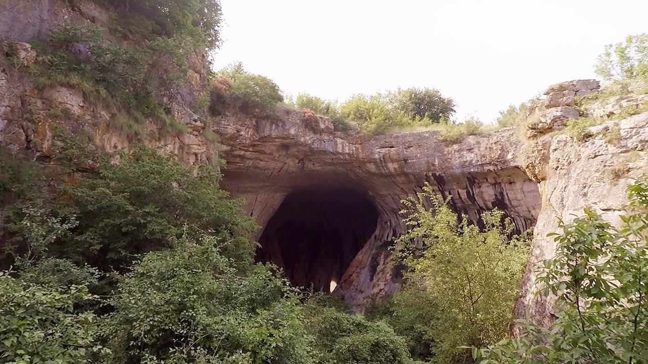
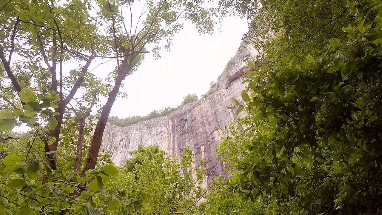
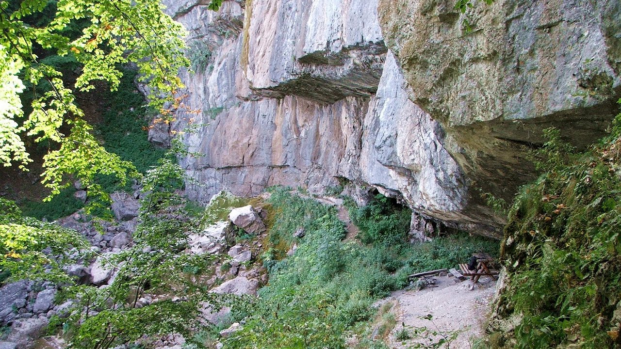
The Lednica via ferrata is located next to the Saeva Dupka Cave, near the village of Brestnitsa in Bulgaria. The trail leading to the via ferrata, which opened in 2007, starts from the cave parking lot next to a covered resting area.
Read more
Filmed with GoPro HERO5 Black. Music: Run by Kai Engel. Copyright © 2017 - 2025 Geo Trekker Videos.
Already published 8983 photos and 180 videos. Please register for full and ad-free access.
Photos of nearby places


Canyon of Waterfalls eco-trail - Smolyan (8 photos) 166.73 km away
The Soskovcheto Reserve was established in 1968 and covers an area of 177 hectares. It is situated in the Perelishko-Prespanski region of the Rhodope Mountains.


Women's Cave (Pestera Muierii) - Parang Mountains (11 photos) 240.99 km away
The Cave of Women (Pestera Muierii, Pestera Muierilor) is located at the southern foot of the Parang Mountains, in the area of Baia de Fier in Gorj County. There are several climbing routes established on the rocks above the cave and on the other side of the road.
[ Top ↑ ]
Videos of nearby places
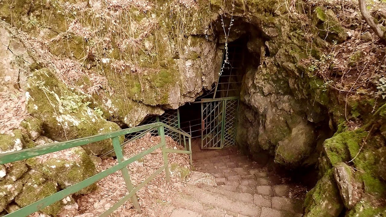
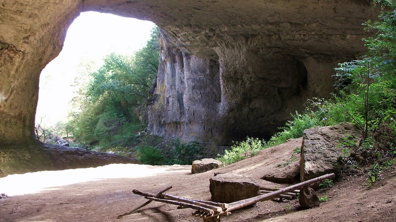
Saeva Dupka cave - Brestnitsa 0.26 km away
The Saeva Dupka Cave is located 2 km south of the village of Brestnitsa. In its five chambers and 400 meters of passageways, you can see the most beautiful cave formations in Bulgaria.
Prohodna cave (The Eyes of God) - Karlukovo 16.77 km away
The cave nicknamed The Eyes of God is located in Bulgaria, in the Iskar Gorge, on one of the largest karst areas in Bulgaria, 2 km from the town of Karlukovo. It is essentially a 262-meter-long natural stone bridge, with a large (45 m high) and a small (35 m high) entrance.
Skaklya waterfall - Vratsa 53.53 km away
The largest seasonal waterfall in Bulgaria plunges down from a height of 141 meters. It is located in the Vratsa Mountain National Park, just one and a half kilometers away from the city of Vratsa.
Borov Kamak waterfall - Zgorigrad, Vratsa 56.29 km away
The Vratsa eco-trail starts from the village of Zgorigrad, located 6 km from the city of Vratsa in Bulgaria, and ends at the Parshevitza hut. It is also known as the Zgorigradska or Borov Kamak eco-trail.
God's bridge (Bozhite mostove, Bozhi Most) - Vratsa 59.22 km away
Anyone who has been to Bulgaria may be familiar with the Prohodna Cave, affectionately known as the Eyes of God; the Devetashka Cave, illuminated by seven windows in its ceiling; and perhaps they have also seen the Wonderful Bridges in the Rhodope Mountains. But there is another spectacular natural stone bridge in this country, known as the Bridge of God.
Other places
Pietraru pottery Horezu 233.68 km away
Deubel's path Piatra Craiului Mountains (King's Rock) 287.45 km away
Stone Forest (Stones stuck in the ground, Pobiti Kamani) Slanchevo 286.53 km away
The Stone Forest of Bulgaria is located 18 km west of Varna, at the foothills of the Eastern Balkan Mountains. Its Bulgarian name, Pobiti Kamani, translates to planted stones, and it is referred to in English as the Stone Desert or Stone Forest.
The Stone Forest of Bulgaria is located 18 km west of Varna, at the foothills of the Eastern Balkan Mountains. Its Bulgarian name, Pobiti Kamani, translates to planted stones, and it is referred to in English as the Stone Desert or Stone Forest.
Clocota waterfall Geoagiu-Bai, Metaliferi Mountains 331.32 km away
Mill of the Devils (Moara Dracilor) Tasna Gorge (Cheile Tasnei) 251.83 km away
The Tasna Gorges are located in the Mehedinti Mountains, approximately 15 km from the resort of Baile Herculane. The gorges are part of the Domogled - Cerna Valley (Valea Cernei) National Park.
The Tasna Gorges are located in the Mehedinti Mountains, approximately 15 km from the resort of Baile Herculane. The gorges are part of the Domogled - Cerna Valley (Valea Cernei) National Park.
Planned destinations
Natural stone bridge Aglen 19.92 km away
Natural stone arch on the Vit river, near the village of Aglen. Crocodile shaped rock, Elephant rock.
Natural stone arch on the Vit river, near the village of Aglen. Crocodile shaped rock, Elephant rock.
Abandoned copper mine Tsar Asen, Pazardzhik 77.7 km away
The turquoise waters of this mine lake are extremely beautiful but dangerously poisonous. Do not descend to the shore or touch the water!
The turquoise waters of this mine lake are extremely beautiful but dangerously poisonous. Do not descend to the shore or touch the water!
[ Top ↑ ]
[ Top ↑ ]
Select language: - Magyar - Romana - Deutsch - Français - Italiano - Español - Copyright © 2003-2025 Trekkingklub and friends. Reproduction of any text, picture or video from this website, either in printed or electronic form, is prohibited without prior written permission. The given distances are to be understood as straight line distances, and are approximate. Website made in Miercurea Ciuc