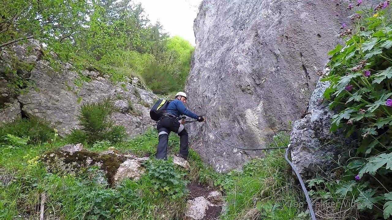
Poienii Rock, north-eastern lookout point - Bicaz Gorge | Video


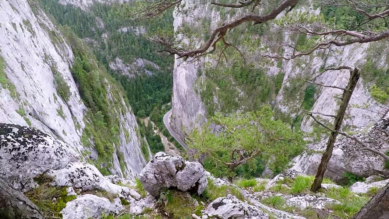
From the viewpoint at the top of the northeastern wall of Poienii Rock in the Bicaz Gorges, we can look down 300 meters to the mouth of the Bicajel stream. The Bridge of the Hungarians is hidden among pine trees. The road winds through Hell's Mouth, between Bardos Mountain and Surducul Stone.
Filmed with GoPro HERO5 Black. Music: Take a Look Around You by Kai Engel. Copyright © 2017 - 2025 Geo Trekker Videos.
Already published 8983 photos and 180 videos. Please register for full and ad-free access.
Photos of nearby places


[ Top ↑ ]
Videos of nearby places

Bicajel Gorge, Bicajel Waterfall, Stone of the Gorge 0.56 km away
Bicajel Gorge (Cheile Bicajelului), Bicajel Waterfall (Cascada Bicajel), Stone of the Gorge (Surduc Stone, Piatra Surducului) - Hasmas Mountains.

Waterfalls of Lapos creek - Bicaz Gorge 0.94 km away
One of the lesser-known attractions of the Bicaz Gorges is the series of waterfalls along Lapos Creek. This creek flows between Cupas Stone and Bardos Stone before eventually merging with Bicaz Creek, forming spectacular waterfalls beneath the Altar Stone.
Sugau Rock lookout point and iron path (B/C) 2.65 km away
Sugau Rock lookout point and iron path (B/C). Sugau Gorges - Munticelu Nature Reserve, Hasmas Mountains.
Other places
Tureni Gorge iron path (Via ferrata Cheile Tureni) 162.63 km away
Tureni Gorge iron path visiting route (Via ferrata Cheile Tureni), Trascau Mountains.
Tureni Gorge iron path visiting route (Via ferrata Cheile Tureni), Trascau Mountains.
Laura iron path (E) Baia de Fier 240.75 km away
Dóczi stone-quarry Jigodin 52.71 km away
With snowshoes in the Tihu creek valley Rastolita 62.71 km away
We met geotrekking treasure hunters from Gheorgheni, Miercurea Ciuc and Targu Mures in Rastolita. We entered the Calimani Mountains with an off-road vehicle, along the Rastolita and Tihu streams.
We met geotrekking treasure hunters from Gheorgheni, Miercurea Ciuc and Targu Mures in Rastolita. We entered the Calimani Mountains with an off-road vehicle, along the Rastolita and Tihu streams.
[ Top ↑ ]
[ Top ↑ ]
Select language: - Magyar - Romana - Copyright © 2003-2025 Trekkingklub and friends. Reproduction of any text, picture or video from this website, either in printed or electronic form, is prohibited without prior written permission. The given distances are to be understood as straight line distances, and are approximate. Website made in Miercurea Ciuc