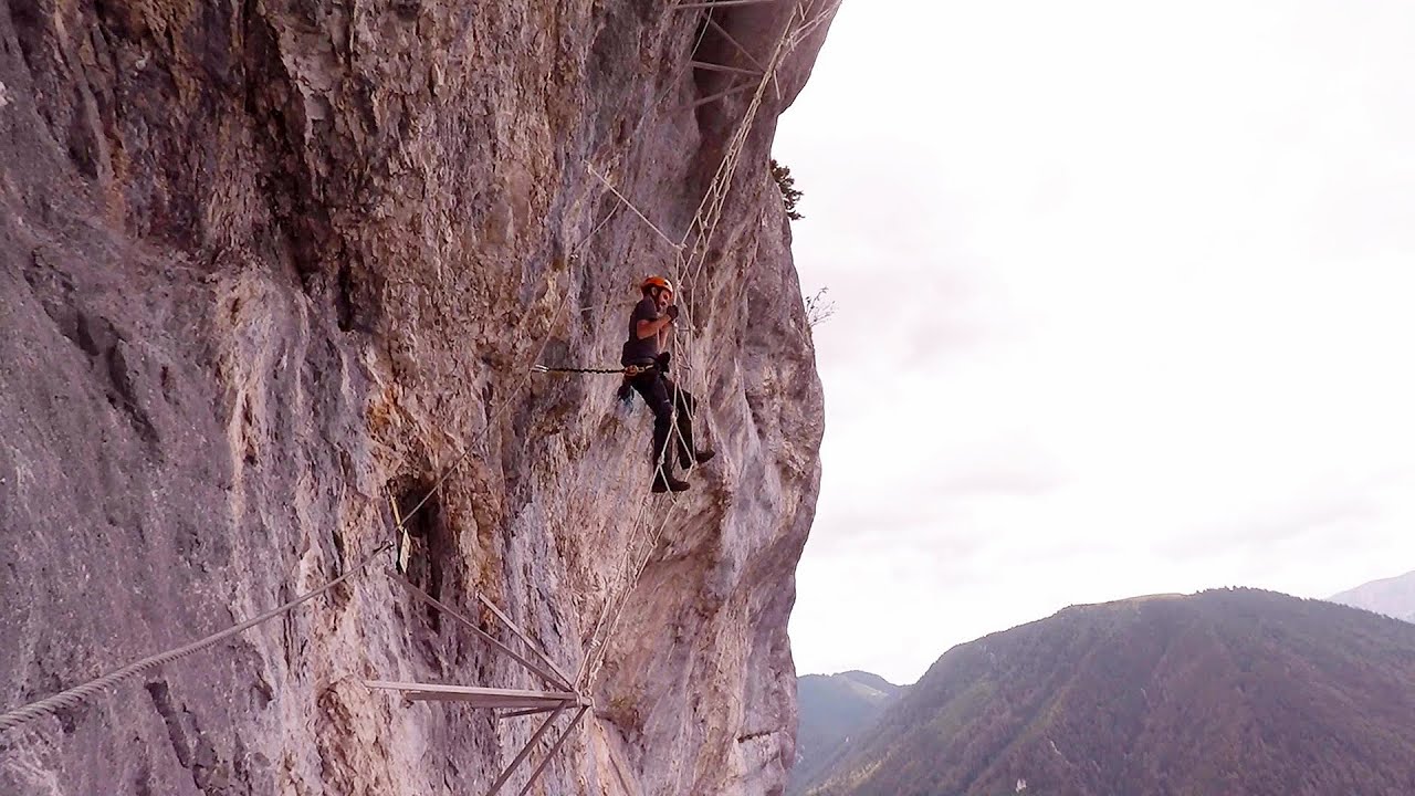
Via ferrata - Tatabánya | Video


I climbed Kata! Who is Kata? Kata is a very talented, beautiful, but mainly extreme lady from Tatabánya. More specifically, she is Hungary's most difficult via ferrata climbing route. :-) Read more
Music: Night Without Sleep by David Mumford, Attribution 4.0 International (CC BY 4.0) license. Filmed with SJCAM SJ5000 Plus. Copyright © 2015 - 2026 Geo Trekker Videos. Please register for full and ad-free access.
Airport nearby: Győr-Pér International Airport ( - Pér, Hu), 46 km away.
Photos of nearby places

Mariazell climbing route, Felixs Celestial Ladder, Devils Bridge - Climbing Park Spielmäuer (60 photos) 231.6 km away. Climbing Park Spielmäuer - Mariazell climbing route, Felix's Celestial Ladder, Devil's Bridge (Kletterpark Spielmäuer - Mariazeller Steig, Felix Himmelsleiter, Teufelsbrücke) - Wegscheid, Austria.

The Devils Bridge - Wegscheid, Austria (18 photos) 232.6 km away. The Devil's Bridge, Teufelsbrücke in German, is located just ten kilometers from the city of Mariazell, near the Klettersteigpark Spielmäuer via ferrata park. From the top of the via ferrata park, it is worth taking a detour to the Devil's Bridge, which is located near the starting point of the descent path.


Sohodol pit cave - Padurea Craiului Mountains (10 photos) 315.5 km away. Sohodol pit cave (Avenul Sohodol) - Padurea Craiului Mountains.


Kings Cave - Padurea Craiului Mountains (48 photos) 317.8 km away. Craiului (Kings) Cave - Padurea Craiului Mountains.


Fern Cave - Padurea Craiului Mountains (9 photos) 319.4 km away. Ferigi (Fern) Cave - Padurea Craiului Mountains.
[ Top ↑ ]
Videos of nearby places
Castle panorama route, Zoltán Tálos memorial route, Besiegers route - Csesznek 47.8 km away. Castle panorama route (D), Zoltán Tálos memorial route (E), Besieger's route (C), Kőmosó-ravine, Csesznek, Veszprém county, Hungary. The via ferratas in Csesznek are suitable for both getting acquainted with climbing, and assessing our capabilities.
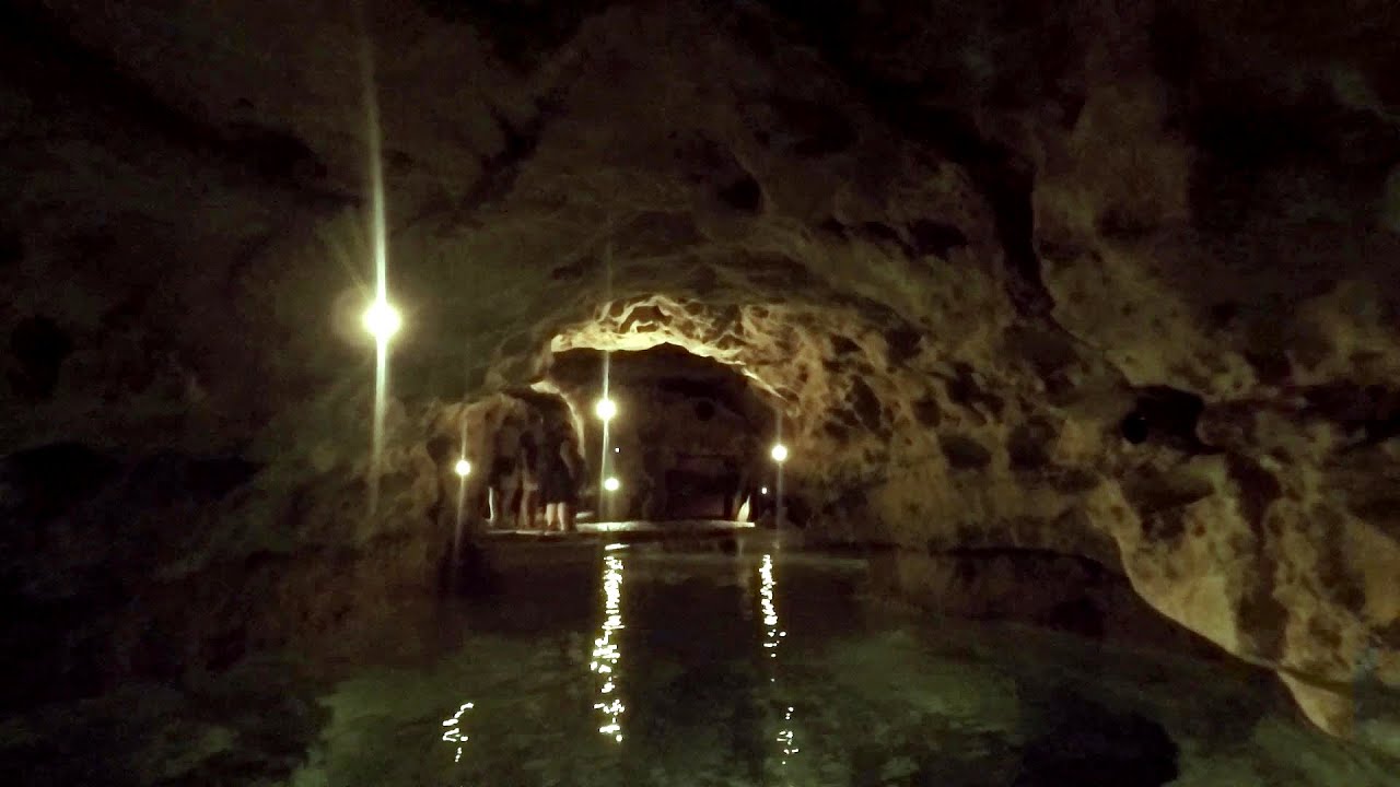
Tapolca lake cave - Balaton-felvidéki National Park 107 km away. The Tapolca lake cave is situated in the Balaton-felvidéki National Park. A modern visitor center has been constructed at its entrance, featuring ten rooms that highlight the unique characteristics of karst regions.
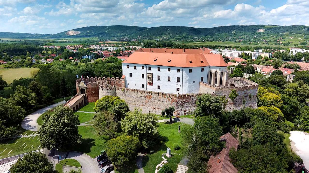
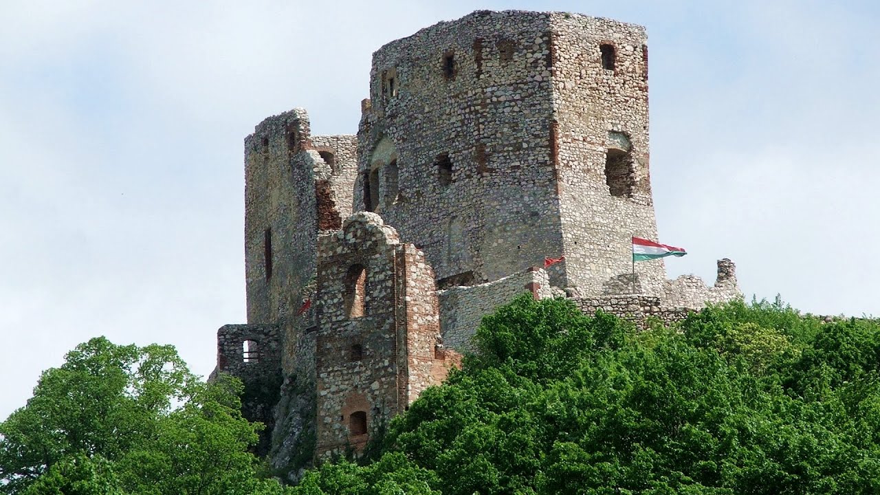
Siklós castle 193.2 km away. The Siklós Castle is an important historical landmark in Hungary. Its fortress walls were laid around 1260, with the first written record dating back to 1294.
Play Wall via ferrata park - Mariazeller via ferrata, Felixs Ladder to the Heaven, Devils Bridge 231.6 km away. Located only ten kilometers from the town of Mariazell, you'll find the via ferrata park known as the Play Wall (Klettersteigpark Spielmäuer). Here, we find three via ferratas: Olivers Mariazeller Steig (B/C), Felix Himmelleiter (D), and Tristans Kirchbogensteig (C).
Other places
Goats Ledge iron path Ramet Gorge 409.3 km away. Via ferrata Goats Ledge (Brana Caprei) iron path - Ramet Gorge, Trascau Mountains.
Crystal Cave at Farcu Mine 315.1 km away. In the Padurea Craiului Mountains, near Rosia, in the Farcu bauxite mine, in 1987, the miners accidentally discovered a cave. It was filled with crystal-shaped limestone formations.
Play Wall via ferrata park Mariazeller via ferrata, Felixs Ladder to the Heaven, Devils Bridge 231.6 km away. Located only ten kilometers from the town of Mariazell, you'll find the via ferrata park known as the Play Wall (Klettersteigpark Spielmäuer). Here, we find three via ferratas: Olivers Mariazeller Steig (B/C), Felix Himmelleiter (D), and Tristans Kirchbogensteig (C).
Hilis cave Turda Gorge via ferrata 414.8 km away. While the first time I climbed this via ferrata (Sky Fly) in the morning, now I climbed it in the light of the setting sun. The red-dressed rocks created a special atmosphere, and I could admire the sunset from the top of the climbing route.
Ticuiata Rock Trascau Mountains 418.1 km away. Ticuiata Rock (Stanca Picuiata) - Trascau Mountains.
Via ferrata Dachstein Gams Krippenstein, Obertraun am Hallstättersee 353.7 km away. The Dachstein Gams is a new via ferrata route on Krippenstein. It has three parts: Himmeleck (A/B), Gams (C), and Nordwand (E).
Mucanj via ferrata and the Boze Javorca cave Ravna Gora 466.9 km away. Difficulty level C/D, total length: 500 m, height difference: 200 m, year of construction: 2022. The via ferrata is free to climb.
Bear Sanctuary Kuterevo 397.1 km away. Bear Sanctuary (Utociste za medvjede) - Kuterevo.
Gornjak via ferrata and Kudelinovs fortress Zdrelo 440.1 km away. Difficulty level C/D, total length: 400 m, height difference: 330 m, year of construction: 2019, total length of the route to Kudelinov's fortress: 1100 m. Access to the via ferrata is free.
Blasted Rock hanging path Cerna Valley 427.6 km away. The Blasted Rock (Piatra Puscata) hanging path is located on the geographical right bank of the Cerna River, near the confluence of the Iuta stream, approximately 20 km from Baile Herculane. In this area, the presence of limestone formations has caused the valley to become narrower.
Winds iron path Baia de Fier 488.8 km away. The Wind's iron path (Via ferrata Vanturilor, D) is the via ferrata route number 11 in the Baia de Fier - Polovragi area. The sign at the base of the route was installed on February 9, 2020.
Five Fingers, World NATURE Heritage Lookout, World Heritage Spiral, Dachstein Shark 354 km away. The second station of the cable car departing from Obertraun is the Krippenstein peak (2100 m). Here you can find the famous Five Fingers (5fingers) lookout, which offers a unique view of Hallstatt and Obertraun below, as well as the Hallstättersee lake.
Turcinovac via ferrata and cave Ovcar Banja 431.9 km away. Difficulty level B, total length: 60 m, height difference: 45 m, year of construction: 2010. Climbing the via ferrata is only permitted with the approval of the Extreme Sports Club Armadillo from Cacak, and there is a fee for it.
Acapulcos spur via ferrata 320.4 km away. Acapulco's spur (Pintenul lui Acapulco) via ferrata (B/C) - Montana Land, Suncuius.
Balázs Hill Lookout Western Mecsek 162.2 km away. The Balázs hill lookout, located at an altitude of 320 meters, offers a beautiful view of Lake Pécs and the wooded mountain ranges of Western Mecsek. The original lookout, built in 1975, was destroyed by fire, and it was rebuilt in 2001 using a metal structure, which was renovated in 2014.
Other destinations
Óbányai Valley Eastern Mecsek 152.9 km away. The Óbányai Valley is located in the Eastern Mecsek Landscape Protection Area, stretching between Óbánya and Kisújbánya. Its attractions include the Slanting waterfall or Fairy Stairs, and the Dripping Rock.
Agnes Waterfall Western Mecsek 161.3 km away. The Agnes Waterfall is the largest waterfall in the Mecsek region, although the stream's water only cascades down from a height of one and a half to two meters, over a travertine ledge. Nearby attractions include the Meleg-mány Waterfall and the Mánfa Stone-Cave.
Balázs Hill Lookout Western Mecsek 162.2 km away. The Balázs hill lookout, located at an altitude of 320 meters, offers a beautiful view of Lake Pécs and the wooded mountain ranges of Western Mecsek. The original lookout, built in 1975, was destroyed by fire, and it was rebuilt in 2001 using a metal structure, which was renovated in 2014.
Lookout platform Kis-Tubes Western Mecsek 165.9 km away. The lookout platform at Kis-Tubes, located at an altitude of 577 meters, was built in 1959, and offers a magnificent panorama of Pécs at the foot of the hills. The concrete lookout, situated on the western side of the Kis-Tubes peak along the ridge connecting Misina to Tubes, was designed by Tibor Kiss.
[ Top ↑ ]
Copyright © 2003-2026 Trekkingklub and friends. Reproduction of any text, picture or video from this website, either in printed or electronic form, is prohibited without prior written permission.
The given distances are to be understood as straight line distances, and are approximate. Website made in Miercurea Ciuc  .
.