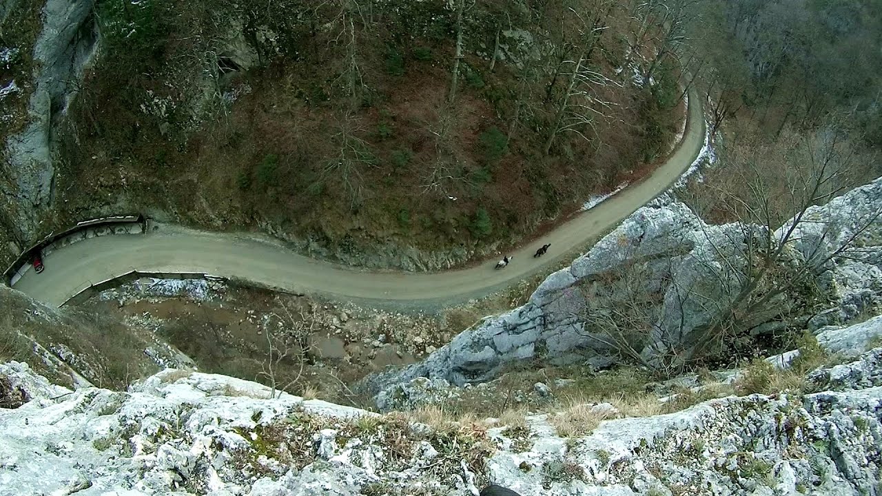
Peak of Longing (Varful cu Dor) - Waterfalls of the Vanturis stream (Cascadele Vanturisului) | Photos


Page no. 1, photos: 1-10, 36 photos in total. >>>

Copyright © 2005 - 2025 Trekkingklub.com.
Already published 8983 photos and 180 videos. Please register for full and ad-free access.
Photos of nearby places

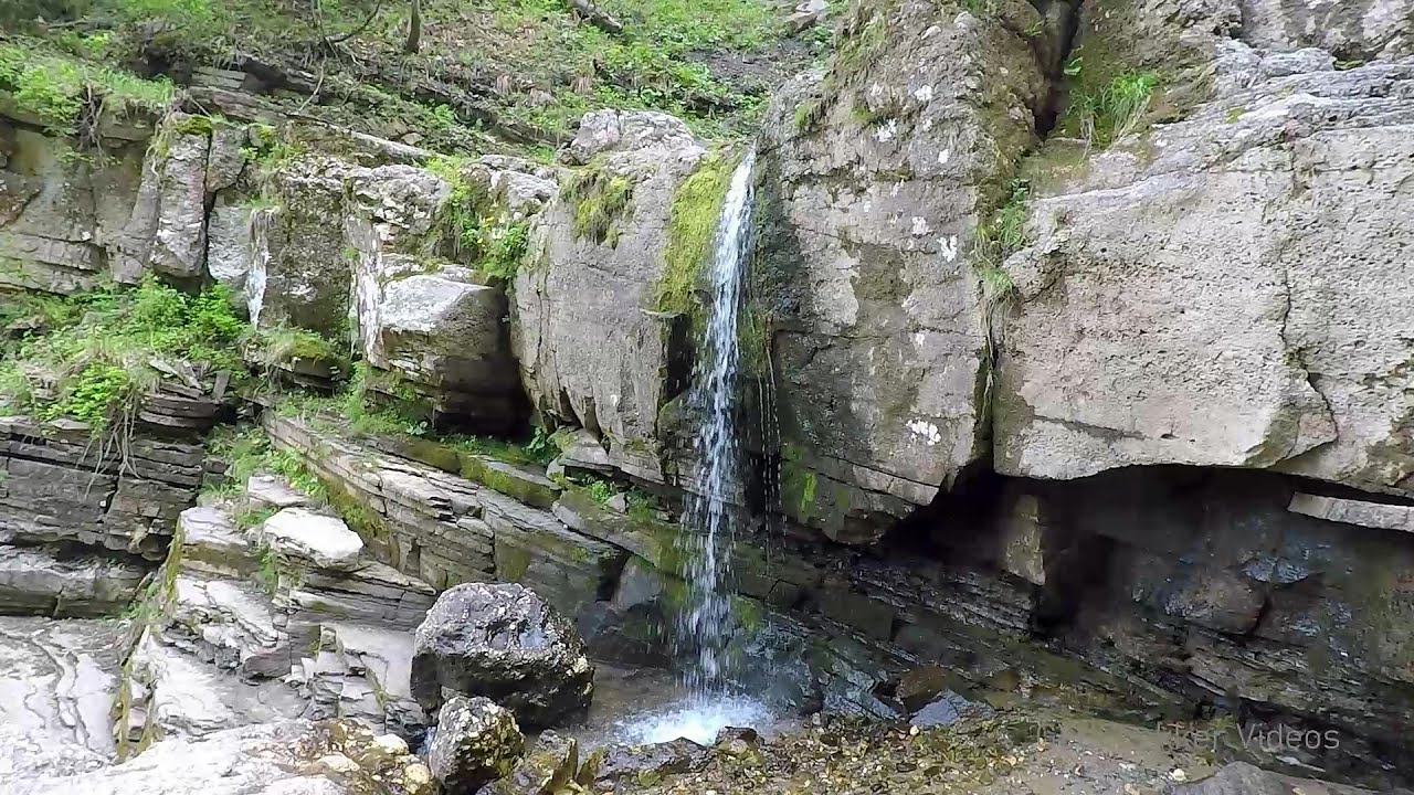
Shoe Valley (Zgarbura Valley, Valea Zgarburei), Vanturis waterfalls - Bucegi Mountains (18 photos) 1.12 km away


[ Top ↑ ]
Videos of nearby places
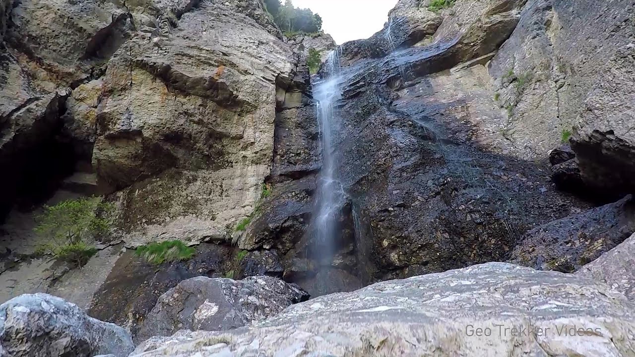
Upstream of the Izvorul Dorului (Source of longing) creek - Vanturis waterfalls, Bucegi Mountains 0.7 km away
Downstream of the Izvorul Dorului (Source of longing) creek - Vanturis waterfalls, Bucegi Mountains 1.13 km away
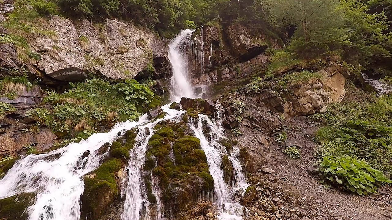
Foamy valley waterfall (Cascada Valea Spumoasa) - Bucegi Mountains 8.36 km away
Access to the Foamy valley waterfall (Cascada Valea Spumoasa) is made from the town of Busteni. The starting point is the lower station of the cable car that ascends to the Babele cabin.
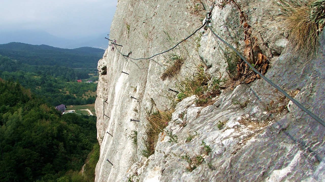
Big Via ferrata Rasnoavei Gorge 23.43 km away
The most dangerous Eastern European iron path, and also one of the most beautiful via ferrata routes in Romania, is in the Rasnoavei Gorges, Postavaru Mountains.The route is 450 m long, with a level difference of 220 m.
Small Via ferrata - Rasnoavei Gorge 23.47 km away
In the past few days, it has snowed, so I climbed the two climbing routes in the Rasnoavei Gorge under winter conditions. While the lower part of the challenging Big via ferrata was dry, the upper section had patches of snow and icicles.
Other places
Iron path Harghita-Madaras 124.69 km away
Amateur filming in Harghita-Madaras, holding the camera by hand in the car, and helmet-mounted on the via ferrata. I climbed an iron path for the first time in my life on the Nyerges cliffs (Stancile Seii), I didn't have the right equipment yet.
Amateur filming in Harghita-Madaras, holding the camera by hand in the car, and helmet-mounted on the via ferrata. I climbed an iron path for the first time in my life on the Nyerges cliffs (Stancile Seii), I didn't have the right equipment yet.
The palm of God and the Heaven's door Fundatura Ponorului mountain village 181.59 km away
One of the most picturesque places in Romania, one of the most beautiful mountain villages, and a photographer's paradise. Fundatura Ponorului is located in the Ponor Stream Valley, part of the Gradistea Muncelului - Cioclovina National Park, in the Sureanu Mountains.
One of the most picturesque places in Romania, one of the most beautiful mountain villages, and a photographer's paradise. Fundatura Ponorului is located in the Ponor Stream Valley, part of the Gradistea Muncelului - Cioclovina National Park, in the Sureanu Mountains.
Snow-covered valley of Balea and the Transfagarasan in winter The ascent 75.65 km away
The Fagarasi Mountains can be easily approached from the north, mainly by using the Transfagarasan Road. This high altitude mountain road is only accessible during the summer months (throughout its entire length), but from the Balea Waterfall station (Statia Balea Cascada) you can also reach the Balea Lake by cable car.
The Fagarasi Mountains can be easily approached from the north, mainly by using the Transfagarasan Road. This high altitude mountain road is only accessible during the summer months (throughout its entire length), but from the Balea Waterfall station (Statia Balea Cascada) you can also reach the Balea Lake by cable car.
TV-radio amplifying station Harghita Ciceu 118.36 km away
The hiking trail marked with a blue stripe starts at the Uz Bence shelter and runs from Harghita-Bai to Harghita Madaras. Our destination today is the Harghita Ciceu plateau.
The hiking trail marked with a blue stripe starts at the Uz Bence shelter and runs from Harghita-Bai to Harghita Madaras. Our destination today is the Harghita Ciceu plateau.
Black Rocks iron path Bihor Mountains 256.28 km away
Black Rocks is located in the Bihor Mountains, near the Vartop Saddle, to the west of it. It is interesting that the locals (if I understood correctly) do not know this name, but use the name Piatra Buna (meaning Good Stone) for this spectacular rock.
Black Rocks is located in the Bihor Mountains, near the Vartop Saddle, to the west of it. It is interesting that the locals (if I understood correctly) do not know this name, but use the name Piatra Buna (meaning Good Stone) for this spectacular rock.
[ Top ↑ ]
[ Top ↑ ]
Select language: - Magyar - Romana - Deutsch - Français - Italiano - Español - Copyright © 2003-2025 Trekkingklub and friends. Reproduction of any text, picture or video from this website, either in printed or electronic form, is prohibited without prior written permission. The given distances are to be understood as straight line distances, and are approximate. Website made in Miercurea Ciuc