Sugó Cave - Giurgeu Mountains - photos
Copyright © 2003 - 2025 Trekkingklub.com.
Already published 8735 photos and 139 videos. Please register for full access.
Photos of nearby places

Sugo Cave - Giurgeu Mountains (60 photos) 0 km away
The Sugó Cave is located at the western foot of Sipos Stone (1566 m) at an altitude of 1064 m above sea level. It consists of a system of passages with four levels, totaling 1021 m in length and a level difference of -60 m.
[ Top ↑ ]
Videos of nearby places
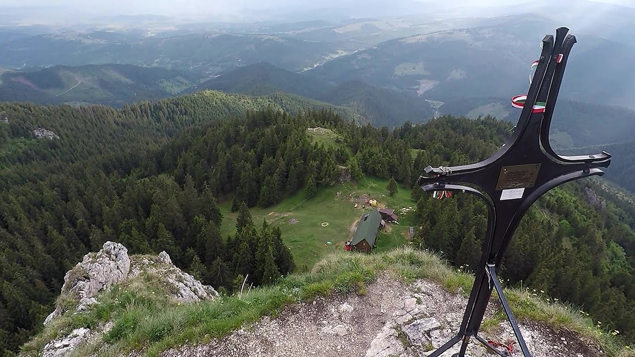
Lonely Stone (Piatra Singuratica) - Hasmas Mountains 11.52 km away
On June 1, 2003, with a small group of friends, I left Balan, walking along the valley of the Sep (Beautiful) stream towards the Lonely Stone (Piatra Singuratica). Those who were with me at the time fell behind, and then other people joined for the hike.
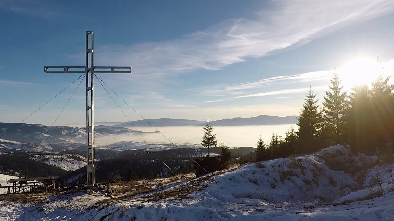
Pricske peak - Giurgeu Mountains 13.46 km away
If we want to reach Pricske (Prisca) peak, which rises above Gheorgheni and Lazarea, we start from the valley of the Güdüc (Ghidut) stream. Our path leads us past the ruins of a building known as the White House.
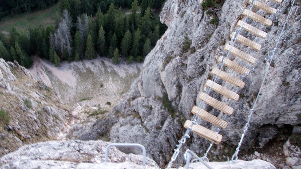
Wild Ferenc iron path - Suhardul Mic 15.86 km away
While I climbed the new iron path mostly in the dark for the first time, this time I managed to explore it during the day. But I still missed the sunset by a few minutes.
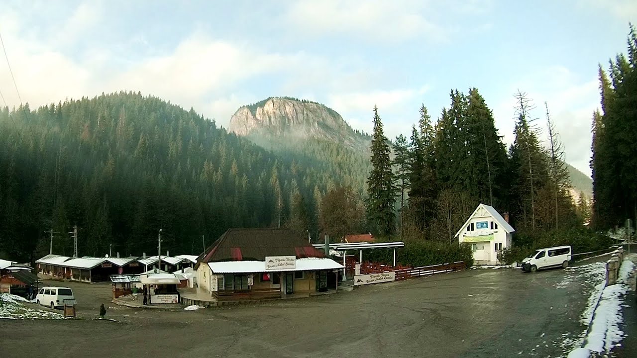
Wild Ferenc memorial path - Suhardul Mic 15.88 km away
In recent days, this news has been everywhere: the via ferrata route built on the southwest wall of Suhardul Mic (Little Suhard) has finally been completed and inaugurated. The new route has been named after Ferenc Wild, in memory of the former mountain rescuer, sports writer, and one of the founders of the mountain rescue association in Gheorgheni.
Waterfalls of Lapos creek - Bicaz Gorge 17.95 km away
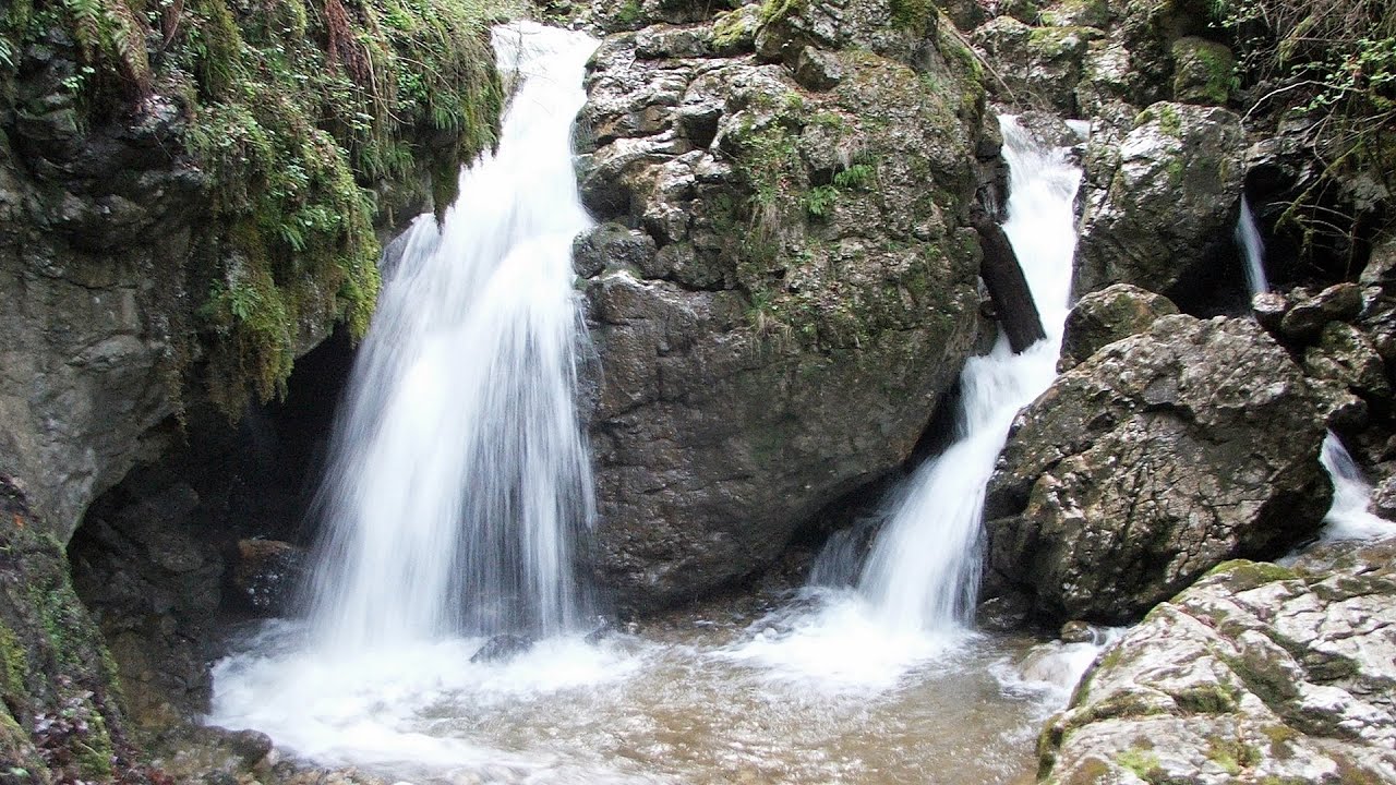
One of the lesser-known attractions of the Bicaz Gorges is the series of waterfalls along Lapos Creek. This creek flows between Cupas Stone and Bardos Stone before eventually merging with Bicaz Creek, forming spectacular waterfalls beneath the Altar Stone.
Other places
Iron path in winter Harghita Madaras 26.39 km away
This is already the sixth time I've climbed the via ferrata route set up on the rocky cliffs of Seii Peak near Harghita Madaras. Although the forecast suggests that the weather should be nice, I am greeted by a sky covered in clouds.
This is already the sixth time I've climbed the via ferrata route set up on the rocky cliffs of Seii Peak near Harghita Madaras. Although the forecast suggests that the weather should be nice, I am greeted by a sky covered in clouds.
Rhein Gorge Flims, Switzerland 1243.9 km away
The Rhine River (in German, Rhein) originates in the Swiss canton of Graubünden at the Oberalppass and flows into the North Sea at Rotterdam in the Netherlands after traveling 1,324 km. The Rhine Gorge, also known as the Swiss Grand Canyon (in Romansh, Ruinaulta), winds for 14 km between 350 m high white walls.
The Rhine River (in German, Rhein) originates in the Swiss canton of Graubünden at the Oberalppass and flows into the North Sea at Rotterdam in the Netherlands after traveling 1,324 km. The Rhine Gorge, also known as the Swiss Grand Canyon (in Romansh, Ruinaulta), winds for 14 km between 350 m high white walls.
Via Ferrata Fairy Castle (Castelul Zanelor, Casa Zmeului, The House of the Dragon) Vadu Crisului 242.64 km away
South of Vadu Crisului, in the Padurea Craiului Mountains, lies the Vadu Crisului Gorge, a section of the Crisul Repede river that narrows between rocky walls. In the Middle Ages, there was intense log transportation activity here, and the transport of salt and timber to Hungary passed through this area.
South of Vadu Crisului, in the Padurea Craiului Mountains, lies the Vadu Crisului Gorge, a section of the Crisul Repede river that narrows between rocky walls. In the Middle Ages, there was intense log transportation activity here, and the transport of salt and timber to Hungary passed through this area.
Dyavolski Most (Devil's Bridge) Ardino 564.49 km away
The Devil's Bridge (Dyavolski Most, in Turkish Sheytan Kyupriya) is located in the gorge of the Arda River, just north of the town of Ardino in Bulgaria. It was constructed in the early 16th century, between 1515 and 1518, by an architect named Dimitar, on the remains of an earlier Roman bridge.
The Devil's Bridge (Dyavolski Most, in Turkish Sheytan Kyupriya) is located in the gorge of the Arda River, just north of the town of Ardino in Bulgaria. It was constructed in the early 16th century, between 1515 and 1518, by an architect named Dimitar, on the remains of an earlier Roman bridge.
Nobody's lake Miercurea Ciuc 37.1 km away
The passage of time (time lapse), dusk at Nobody's Lake. Miercurea Ciuc and the Sumuleu mountain can be seen in the background.
The passage of time (time lapse), dusk at Nobody's Lake. Miercurea Ciuc and the Sumuleu mountain can be seen in the background.
[ Top ↑ ]
[ Top ↑ ]
Copyright © 2003-2025 Trekkingklub and friends. Reproduction of any text, picture or video from this website, either in printed or electronic form, is prohibited without prior written permission. Nearby settlements: Visafolio 4.15 km away, Tourist attractions Voslabeni 5.7 km away. The given distances are to be understood as straight line distances, and are approximate. Website made in Miercurea Ciuc  .
.
 .
.


