Tamina waterfall - Piatra Mare Mountains | Photos


Page no. 1, photos: 1-10, 40 photos in total. >>>

Copyright © 2011 - 2025 Trekkingklub.com.
Already published 8983 photos and 180 videos. Please register for full and ad-free access.
Photos of nearby places


Piatra Mare peak and surroundings (24 photos) 3.77 km away
Piatra Mare hut - Piatra Mare peak - Stone Mushrooms - Stone Barn.


Seven Ladder Waterfall - Piatra Mare Mountains (12 photos) 4.55 km away
The Seven Ladders are located in the middle-western part of the Piatra Mare Mountains, at an average altitude of 980 m, not far away from Valea Timisului (Dambu Morii), on the Seven Ladders River, the left-side affluent of Sipoaia creek. These are the greatest and the most spectacular gorges of the whole Piatra Mare Mountains.
[ Top ↑ ]
Videos of nearby places
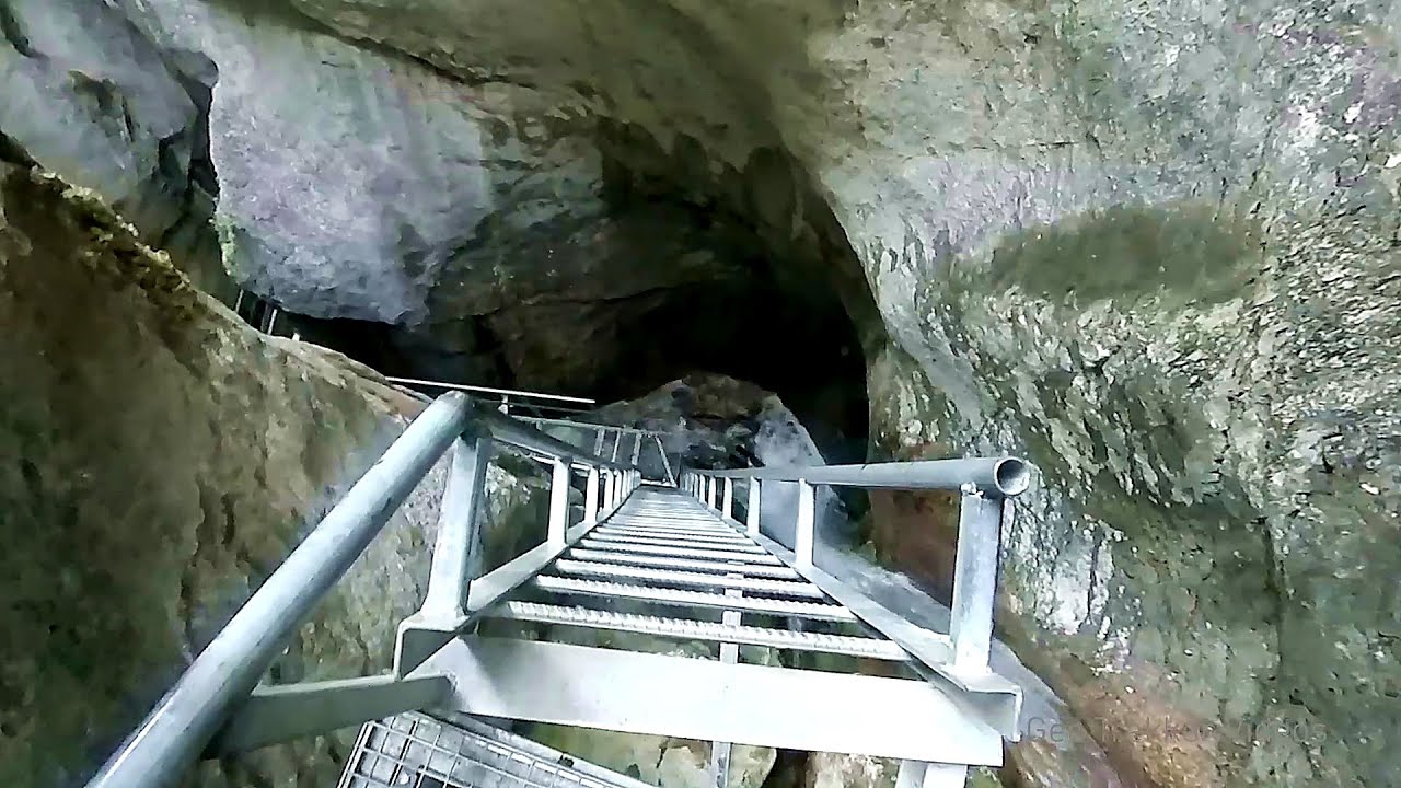
Seven Ladder Canyon and Waterfall - Piatra Mare Mountain 4.52 km away
The Seven Ladder Gorge is the largest and most spectacular gorge in the Piatra Mare massif. The narrow canyon has a length of 160 meters, and over a drop of 58 meters includes 7 bigger and several smaller waterfalls.
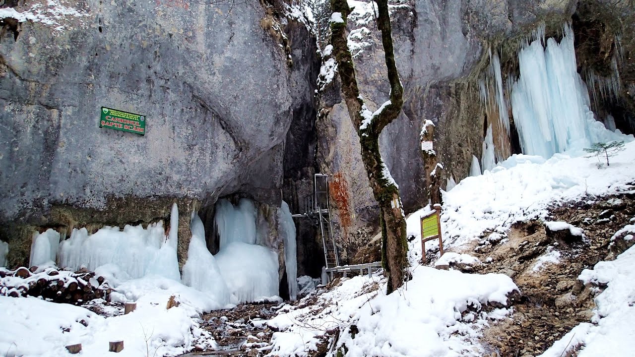
Seven Ladder Canyon in Winter - Piatra Mare Mountain 4.57 km away
Seven Ladder Canyon and Waterfall in Winter - Piatra Mare Mountain
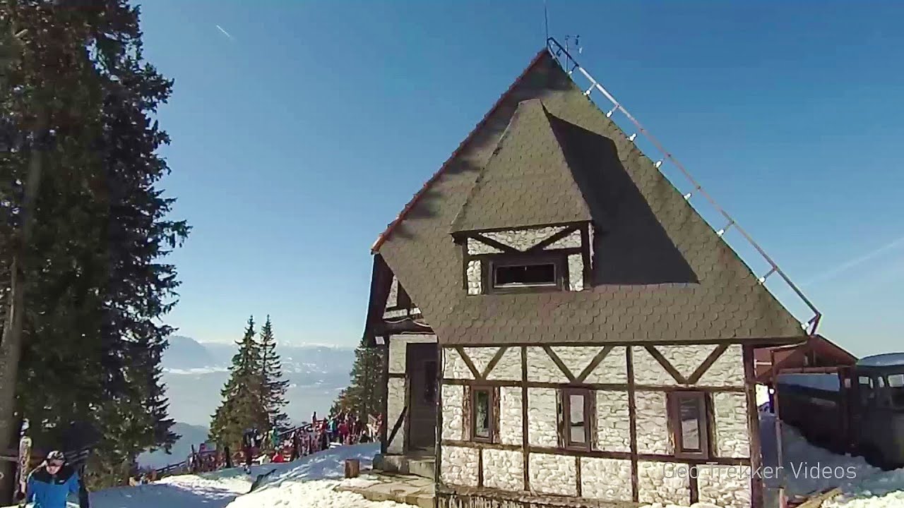
Ski resort - Poiana Brasov - Postavarul Mountains 6.08 km away
Shining sun and an Austria-feeling on the impeccable slopes of the ski paradise Poiana Brasov above Brasov. Sunbathing, coffee and refreshing drinks on the terrace of Julius Römer chalet.
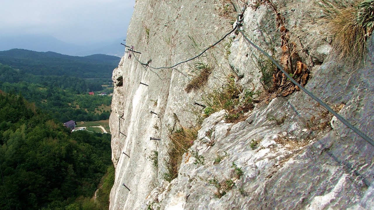
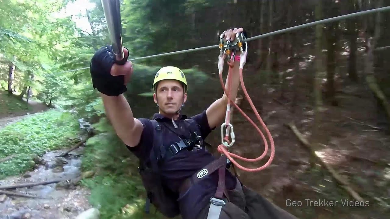
Big Via ferrata Rasnoavei Gorge 7.33 km away
The most dangerous Eastern European iron path, and also one of the most beautiful via ferrata routes in Romania, is in the Rasnoavei Gorges, Postavaru Mountains.The route is 450 m long, with a level difference of 220 m.
Other places
Black Rocks iron path Bihor Mountains 254.64 km away
Black Rocks is located in the Bihor Mountains, near the Vartop Saddle, to the west of it. It is interesting that the locals (if I understood correctly) do not know this name, but use the name Piatra Buna (meaning Good Stone) for this spectacular rock.
Black Rocks is located in the Bihor Mountains, near the Vartop Saddle, to the west of it. It is interesting that the locals (if I understood correctly) do not know this name, but use the name Piatra Buna (meaning Good Stone) for this spectacular rock.
Snow-covered valley of Balea and the Transfagarasan in winter The ascent 78.93 km away
The Fagarasi Mountains can be easily approached from the north, mainly by using the Transfagarasan Road. This high altitude mountain road is only accessible during the summer months (throughout its entire length), but from the Balea Waterfall station (Statia Balea Cascada) you can also reach the Balea Lake by cable car.
The Fagarasi Mountains can be easily approached from the north, mainly by using the Transfagarasan Road. This high altitude mountain road is only accessible during the summer months (throughout its entire length), but from the Balea Waterfall station (Statia Balea Cascada) you can also reach the Balea Lake by cable car.
Poenari citadel Arges valley 78.71 km away
The Poenari citadel is located on the southern slope of the Fagaras Mountains, on the western side of the Transfagaras road, in the Arges Valley, about 4 km from the Vidraru Lake dam. Along a steep incline, a concrete staircase leads up to the castle, which is built atop a mountain.
The Poenari citadel is located on the southern slope of the Fagaras Mountains, on the western side of the Transfagaras road, in the Arges Valley, about 4 km from the Vidraru Lake dam. Along a steep incline, a concrete staircase leads up to the castle, which is built atop a mountain.
Dóczi stone-quarry Jigodin 90.58 km away
[ Top ↑ ]
[ Top ↑ ]
Select language: - Magyar - Romana - Deutsch - Français - Italiano - Español - Copyright © 2003-2025 Trekkingklub and friends. Reproduction of any text, picture or video from this website, either in printed or electronic form, is prohibited without prior written permission. The given distances are to be understood as straight line distances, and are approximate. Website made in Miercurea Ciuc