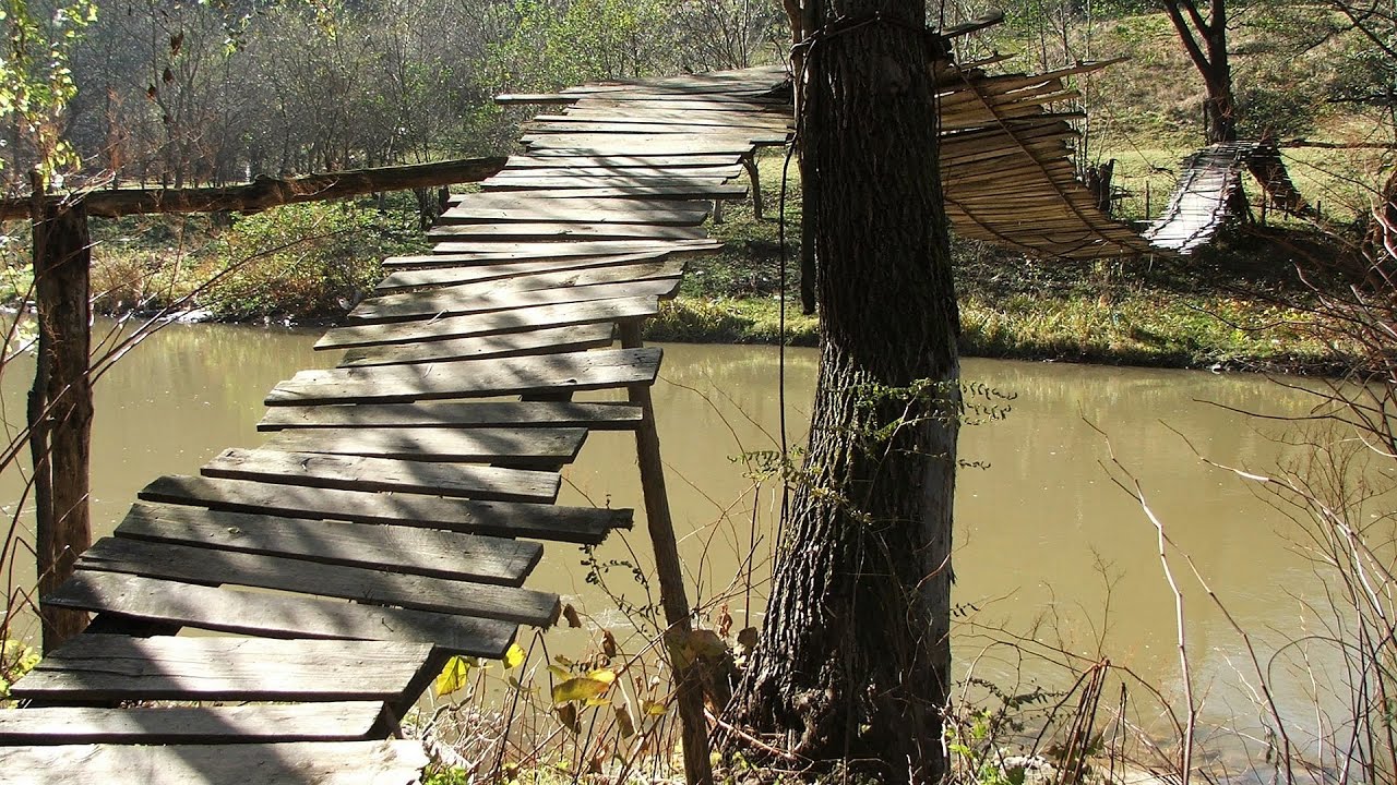
Turda Gorge (Cheile Turzii) - Trascau Mountains | Photos


Page no. 1, photos: 1-9, 9 photos in total.

Copyright © 2006 - 2025 Trekkingklub.com.
Already published 8983 photos and 180 videos. Please register for full and ad-free access.
Photos of nearby places


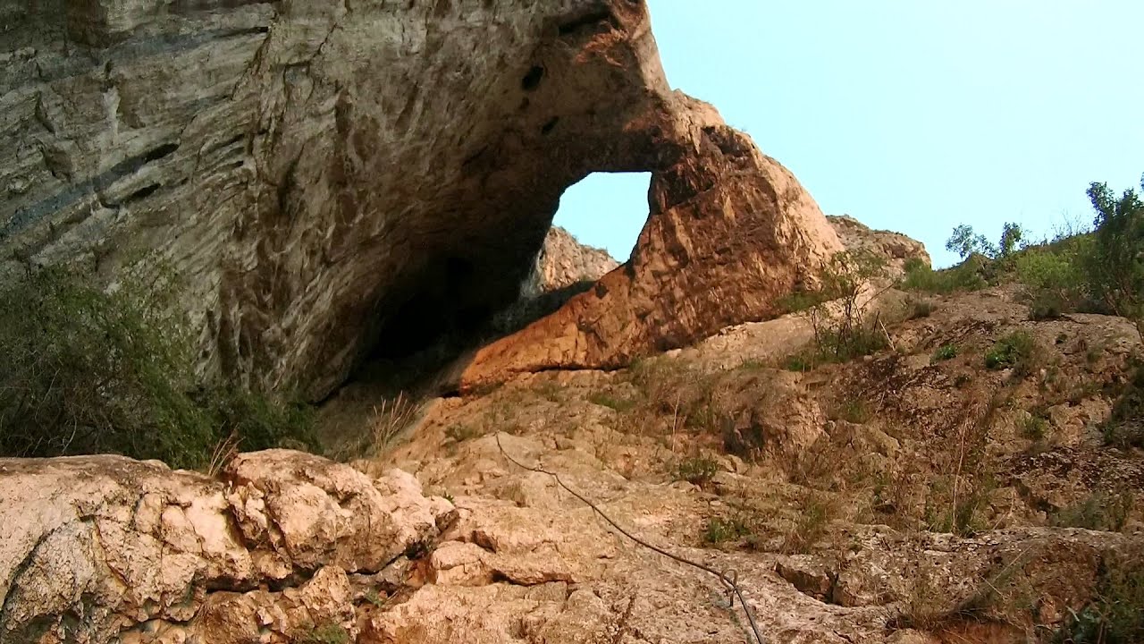
Turda Gorge iron path (Via ferrata Cheile Turzii) (24 photos) 0.31 km away
Turda Gorge iron path (Via ferrata Cheile Turzii) - Trascau Mountains.

Tureni Gorge iron path visiting route (Via ferrata Cheile Tureni) (24 photos) 5.44 km away
Tureni Gorge iron path visiting route (Via ferrata Cheile Tureni) - Trascau Mountains.

Tureni Gorge (Cheile Tureni) (24 photos) 5.44 km away
Tureni Gorge (Cheile Tureni) - Tureni, Trascau Mountains.


[ Top ↑ ]
Videos of nearby places
Hili's cave - Turda Gorge via ferrata 0.35 km away
While the first time I climbed this via ferrata (Sky Fly) in the morning, now I climbed it in the light of the setting sun. The red-dressed rocks created a special atmosphere, and I could admire the sunset from the top of the climbing route.
Tureni Gorge iron path (Via ferrata Cheile Tureni) 5.92 km away
Tureni Gorge iron path visiting route (Via ferrata Cheile Tureni), Trascau Mountains.
Other places
Zip-line near Seven Ladder Canyon Piatra Mare Mountain 187.03 km away
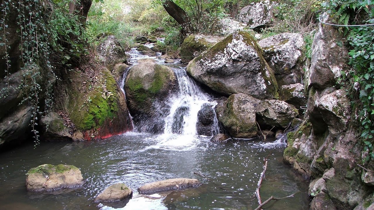
Waterfalls of Velnita stone-quarry Targu Ocna 225.92 km away
Starting from the Velnita quarry, an adventurous nature enthusiast, accustomed to wild and rugged terrains, will discover a true waterfall paradise. At the upper part of the quarry, two streams converge.
Starting from the Velnita quarry, an adventurous nature enthusiast, accustomed to wild and rugged terrains, will discover a true waterfall paradise. At the upper part of the quarry, two streams converge.
Nobody's lake Miercurea Ciuc 161.65 km away
The passage of time (time lapse), dusk at Nobody's Lake. Miercurea Ciuc and the Sumuleu mountain can be seen in the background.
The passage of time (time lapse), dusk at Nobody's Lake. Miercurea Ciuc and the Sumuleu mountain can be seen in the background.
Bicajel Gorge (Cheile Bicajelului) Hasmas Mountains 166.57 km away
Wild Ferenc iron path Suhardul Mic 163.74 km away
While I climbed the new iron path mostly in the dark for the first time, this time I managed to explore it during the day. But I still missed the sunset by a few minutes.
While I climbed the new iron path mostly in the dark for the first time, this time I managed to explore it during the day. But I still missed the sunset by a few minutes.
[ Top ↑ ]
[ Top ↑ ]
Select language: - Magyar - Romana - Deutsch - Français - Italiano - Español - Copyright © 2003-2025 Trekkingklub and friends. Reproduction of any text, picture or video from this website, either in printed or electronic form, is prohibited without prior written permission. The given distances are to be understood as straight line distances, and are approximate. Website made in Miercurea Ciuc