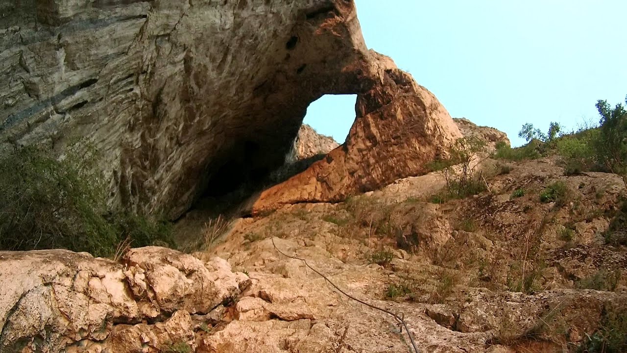
Tureni Gorge iron path visiting route (Via ferrata Cheile Tureni) | Photos


Page no. 1, photos: 1-10, 24 photos in total. >>>

Tureni Gorge iron path visiting route (Via ferrata Cheile Tureni) - Trascau Mountains.
Copyright © 2018 - 2025 Trekkingklub.com.
Already published 8983 photos and 180 videos. Please register for full and ad-free access.
Photos of nearby places

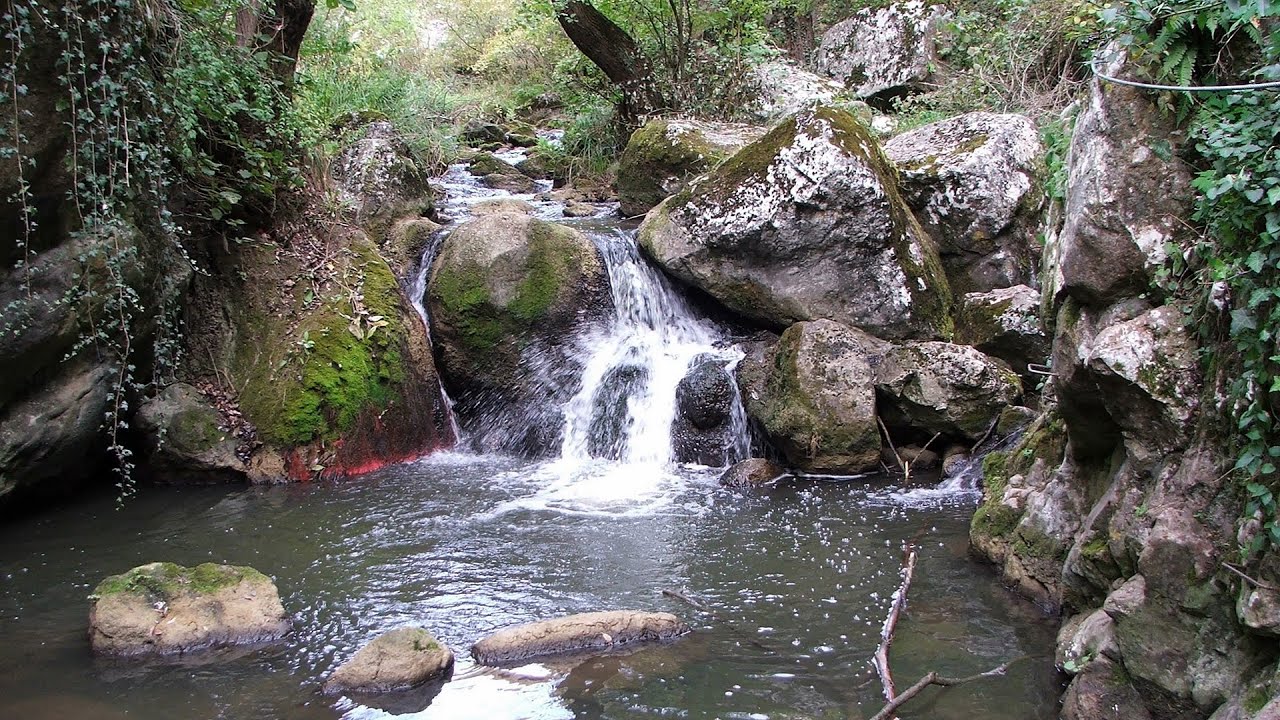
Tureni Gorge (Cheile Tureni) (24 photos) 0 km away
Tureni Gorge (Cheile Tureni) - Tureni, Trascau Mountains.

Turda Gorge iron path (Via ferrata Cheile Turzii) (24 photos) 5.42 km away
Turda Gorge iron path (Via ferrata Cheile Turzii) - Trascau Mountains.


Spherical concretions from Feleac (18 photos) 14.57 km away
The spherical concretions from Feleac are sedimentary rock materials that were cemented together to form a hard structure. The surrounding sediments slowly erode away, exposing the concretion.

[ Top ↑ ]
Videos of nearby places
Tureni Gorge iron path (Via ferrata Cheile Tureni) 0.49 km away
Tureni Gorge iron path visiting route (Via ferrata Cheile Tureni), Trascau Mountains.
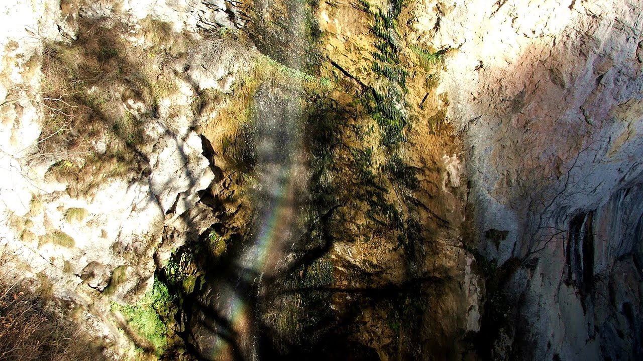
Hili's cave - Turda Gorge via ferrata 5.42 km away
While the first time I climbed this via ferrata (Sky Fly) in the morning, now I climbed it in the light of the setting sun. The red-dressed rocks created a special atmosphere, and I could admire the sunset from the top of the climbing route.
Other places
Laura iron path (E) Baia de Fier 157.92 km away
Waterfalls of Velnita stone-quarry Targu Ocna 224.1 km away
Starting from the Velnita quarry, an adventurous nature enthusiast, accustomed to wild and rugged terrains, will discover a true waterfall paradise. At the upper part of the quarry, two streams converge.
Starting from the Velnita quarry, an adventurous nature enthusiast, accustomed to wild and rugged terrains, will discover a true waterfall paradise. At the upper part of the quarry, two streams converge.
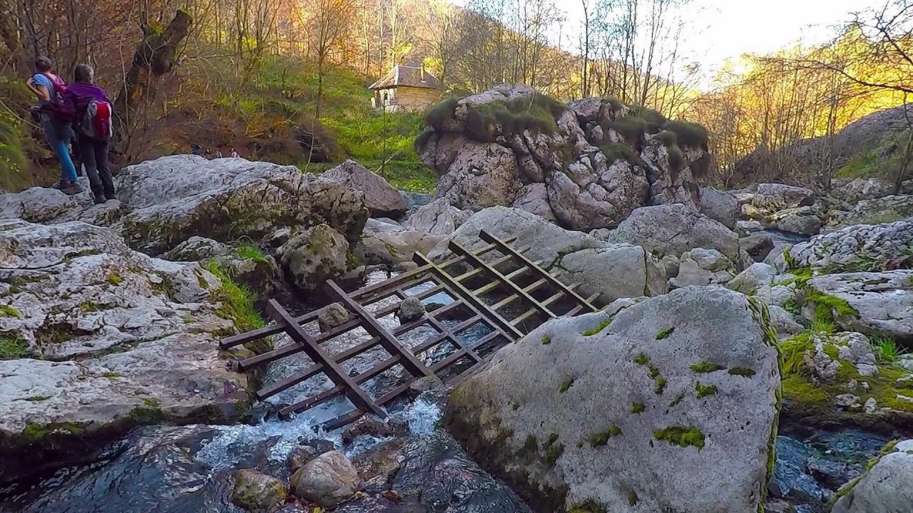
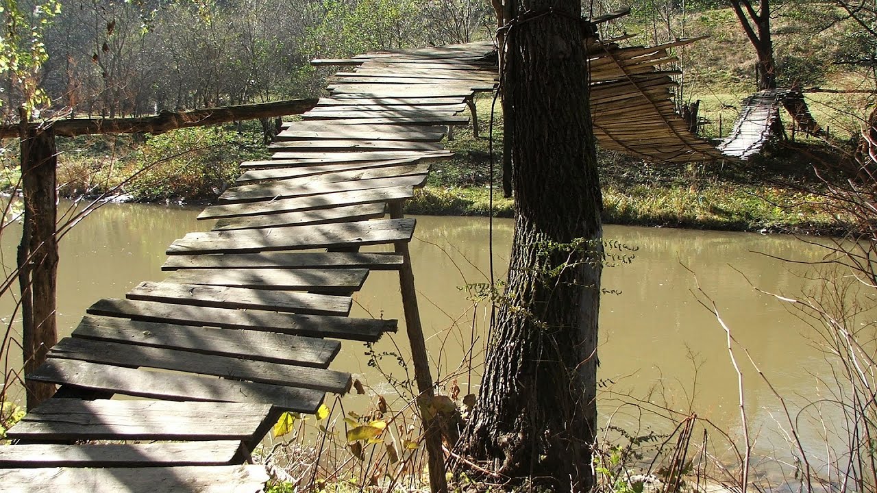
The Wooden Ladders The villages of Scarisoara and Inelet, Cerna valley 198.68 km away
Scarisoara and Inelet are small, isolated villages located in the mountainous region of Banat. They are situated on the right bank of the Cerna River, approximately 19 km away from the Baile Herculane resort.
Scarisoara and Inelet are small, isolated villages located in the mountainous region of Banat. They are situated on the right bank of the Cerna River, approximately 19 km away from the Baile Herculane resort.
Black Rocks iron path Bihor Mountains 82.9 km away
Black Rocks is located in the Bihor Mountains, near the Vartop Saddle, to the west of it. It is interesting that the locals (if I understood correctly) do not know this name, but use the name Piatra Buna (meaning Good Stone) for this spectacular rock.
Black Rocks is located in the Bihor Mountains, near the Vartop Saddle, to the west of it. It is interesting that the locals (if I understood correctly) do not know this name, but use the name Piatra Buna (meaning Good Stone) for this spectacular rock.
Giant fir trees Ghimes 169.24 km away
One of the lesser-known attractions of Ghimes is the two giant-sized common fir trees. They are 42 meters tall, and have diameters of 110 cm and 130 cm at chest height.
One of the lesser-known attractions of Ghimes is the two giant-sized common fir trees. They are 42 meters tall, and have diameters of 110 cm and 130 cm at chest height.
[ Top ↑ ]
[ Top ↑ ]
Select language: - Magyar - Romana - Deutsch - Français - Italiano - Español - Copyright © 2003-2025 Trekkingklub and friends. Reproduction of any text, picture or video from this website, either in printed or electronic form, is prohibited without prior written permission. The given distances are to be understood as straight line distances, and are approximate. Website made in Miercurea Ciuc