Tourist attractions near Tureni (Tureni, Cluj county, Romania)
Photos of nearby places

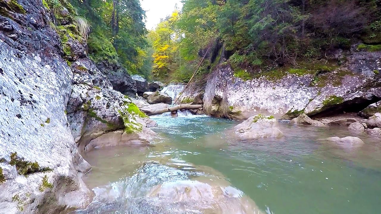
Tureni Gorge iron path visiting route (24 photos) 1.4 km away. Tureni Gorge iron path visiting route (via ferrata) - Trascau Mountains.


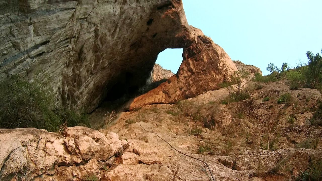
Turda Gorge - Trascau Mountains (9 photos) 6.5 km away. Turda Gorge (Cheile Turzii) - Trascau Mountains.

Turda Gorge - Trascau Mountains (11 photos) 6.5 km away. Turda Gorge (Cheile Turzii) - Trascau Mountains.

Turda Gorge via ferrata (24 photos) 6.5 km away. Turda Gorge iron path (Via ferrata Cheile Turzii) - Trascau Mountains.


Spherical concretions from Feleac (18 photos) 13.3 km away. The spherical concretions from Feleac are sedimentary rock materials that were cemented together to form a hard structure. The surrounding sediments slowly erode away, exposing the concretion.


Szekler Stone North - Trascau Mountains (8 photos) 21.4 km away. Szekler Stone North (Piatra Secuilor Nord) - Trascau Mountains.

Szekler Stone - Trascau Mountains (42 photos) 21.4 km away. Szekler Stone (Székely-kő, Piatra Secuilor) - Trascau Mountains.

[ Top ↑ ]
Videos of nearby places
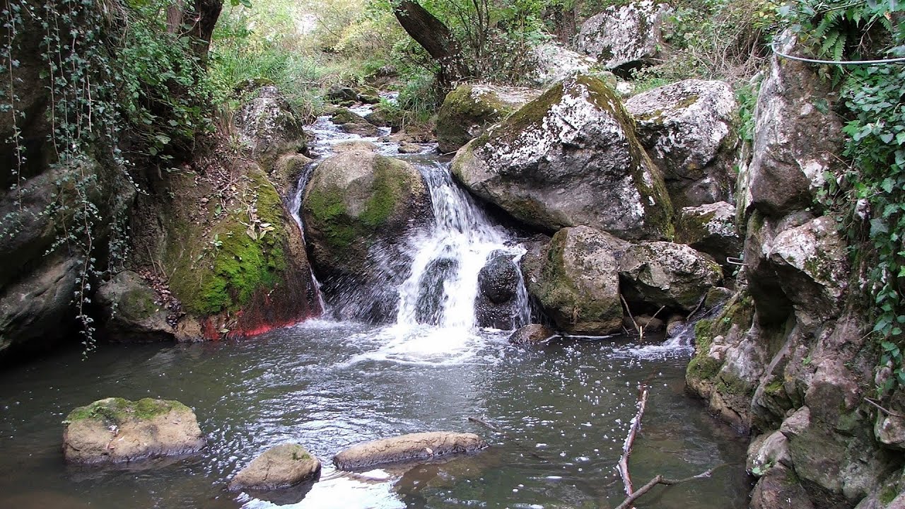
Tureni Gorge iron path 1.2 km away. Tureni Gorge iron path visiting route (Via ferrata Cheile Tureni), Trascau Mountains.
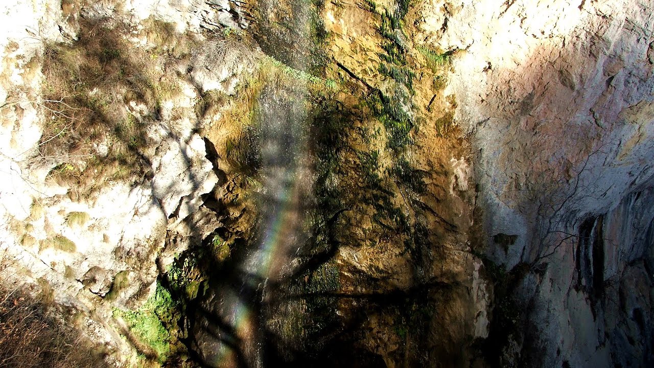
Hilis cave - Turda Gorge via ferrata 6.5 km away. While the first time I climbed this via ferrata (Sky Fly) in the morning, now I climbed it in the light of the setting sun. The red-dressed rocks created a special atmosphere, and I could admire the sunset from the top of the climbing route.

Huda lui Papara cave - Salciua de Jos 32.5 km away. Huda lui Papara cave (Paparas Hole) - Salciua de Jos, Trascau Mountains.
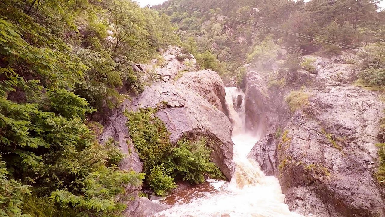
Dalbina waterfall, Dark Blue Bruises of the Ponor 33.5 km away. Dalbina waterfall, Dark Blue Bruises of the Ponor (Vanatarile Ponorului).

Other places

Kaya Bunar Hotnitsa 412 km away. The Kaya Bunar Waterfall (Hotnishki Vodopadi, Hotnitsa Waterfall) is located 20 km from the city of Veliko Tarnovo in Bulgaria. The waterfall is 30 meters high, and there are several smaller cascades above it.

Hias via ferrata Silberkarklamm, Ramsau am Dachstein The Hias via ferrata in the Silberkar Gorge (Silberkarklamm) is the first of the three via ferrata routes, and perhaps the easiest to complete. Two cable bridges and a few trickier sections make it interesting, but it is truly impressive due to the view of the narrow gorge.

TV-radio amplifying station Harghita Ciceu 149 km away. The hiking trail marked with a blue stripe starts at the Uz Bence shelter and runs from Harghita-Bai to Harghita Madaras. Our destination today is the Harghita Ciceu plateau.
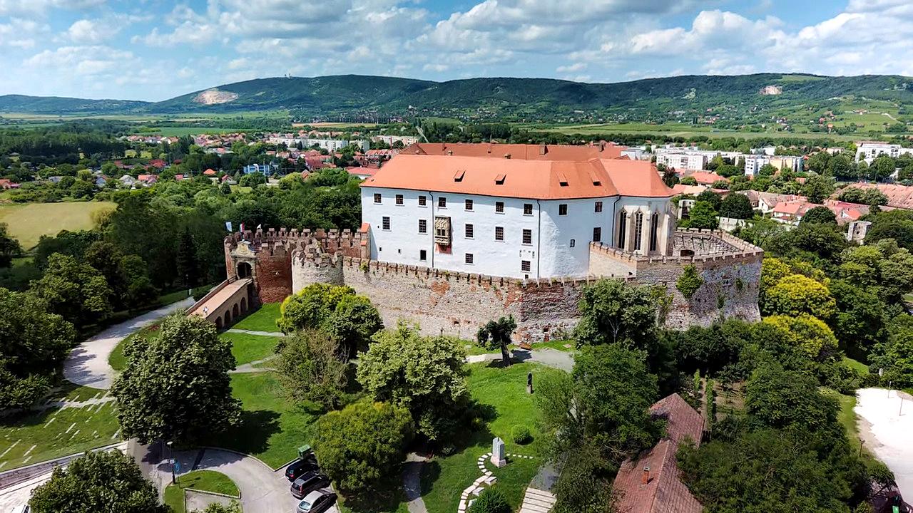
Siklós castle 424.4 km away. The Siklós Castle is an important historical landmark in Hungary. Its fortress walls were laid around 1260, with the first written record dating back to 1294.
Bicajel Gorge Hasmas Mountains 163.5 km away. Bicajel Gorge (Cheile Bicajelului) - Hasmas Mountains.

Stan Valley Canyon 156.9 km away. The Stan Valley is located near Lake Vidraru, southwest of it, in the Fruntii Mountains. Those who have visited the Seven Ladders Waterfall will appreciate this canyon, outfitted with infrastructure for tourist accessibility.
Abandoned copper mine Tsar Asen, Pazardzhik 476.8 km away. The turquoise waters of this mine lake are extremely beautiful but dangerously poisonous. Do not descend to the shore or touch the water!

Small Via ferrata Rasnoavei Gorge 184.1 km away. In the past few days, it has snowed, so I climbed the two climbing routes in the Rasnoavei Gorge under winter conditions. While the lower part of the challenging Big via ferrata was dry, the upper section had patches of snow and icicles.
Suchurum waterfall Karlovo 449.8 km away. The 15-meter-high Suchurum Waterfall is located at the foot of the Stara Planina mountain range, 1 km north of the town of Karlovo in Bulgaria. It is situated below the Karlovo hydroelectric power plant, on the waters of the Stara Reka stream.
[ Top ↑ ]
Copyright © 2003-2026 Trekkingklub and friends. Reproduction of any text, picture or video from this website, either in printed or electronic form, is prohibited without prior written permission. Website made with love  in Miercurea Ciuc.