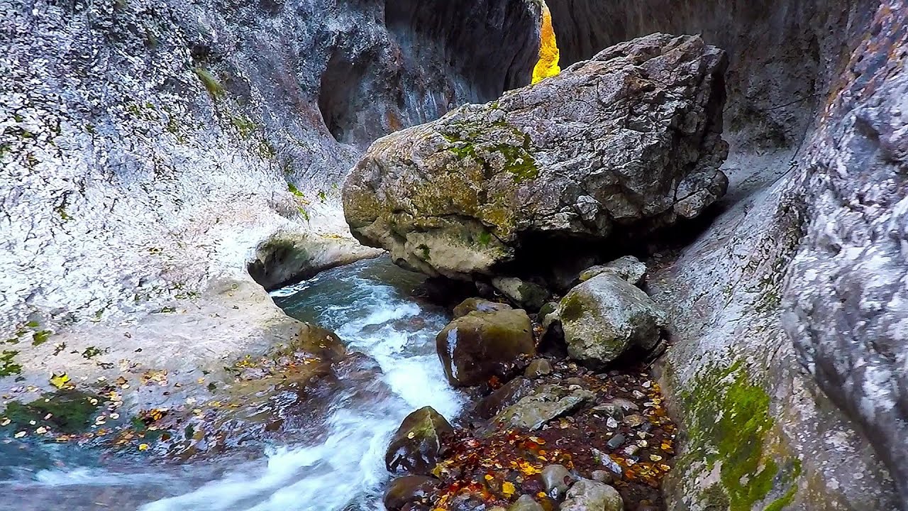
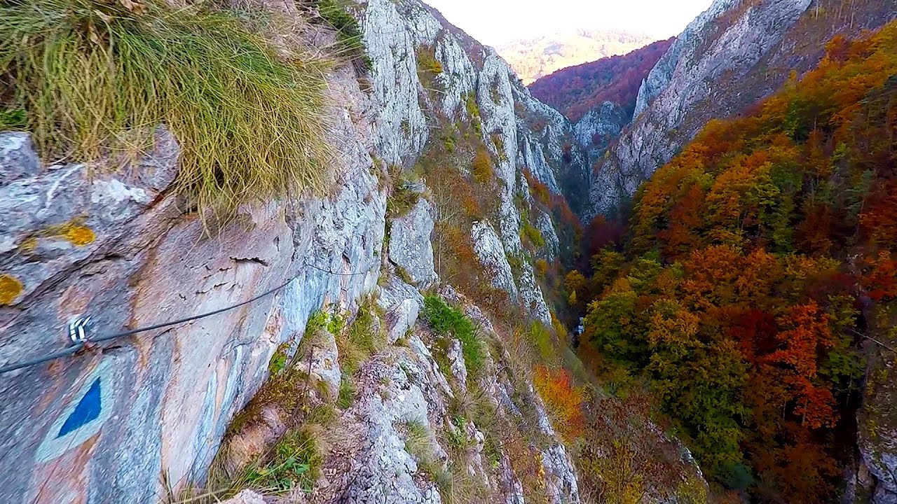
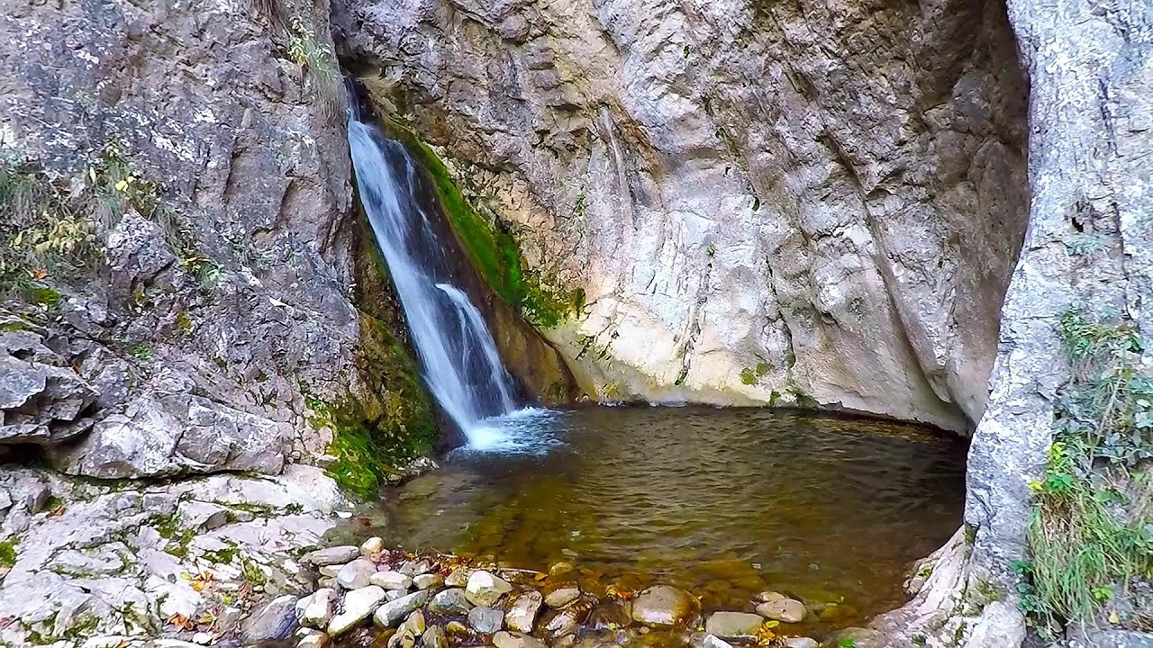
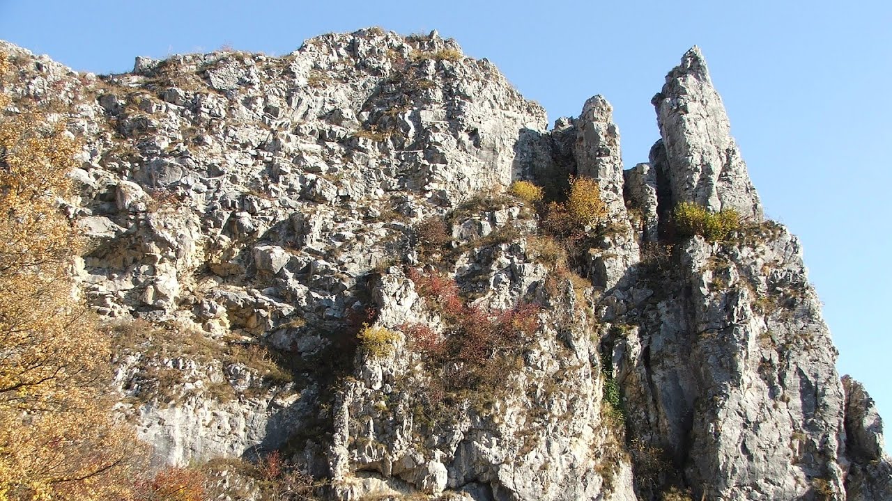
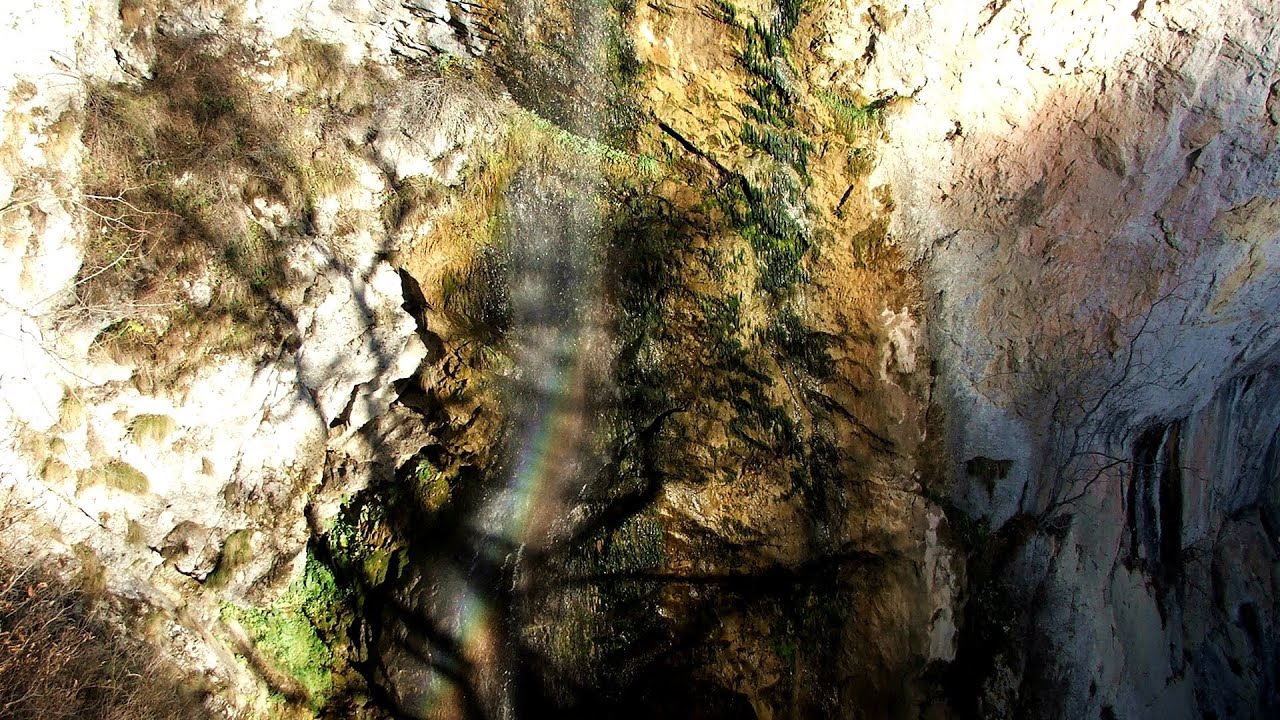
Stone of Cetea, Horse Pit (The pit cave from the Stone of Cetea) - Trascau Mountains | Photos


Page no. 1, photos: 1-10, 16 photos in total. >>>

Copyright © 2008 - 2025 Trekkingklub.com.
Already published 8983 photos and 180 videos. Please register for full and ad-free access.
Photos of nearby places


Goat Stone (Piatra Craivii, Piatra Craivei, Apulon) - Craiva, Trascau Mountains (18 photos) 6.11 km away

Dark Blue Bruises of the Ponor (Vanatarile Ponorului) - Trascau Mountains (16 photos) 11.83 km away
The Dark Blue Bruises of the Ponor (Vanatarile Ponorului) is a polje-type protected area. Polje is a Slovenian word meaning plain, and it refers to a surface karst form.
[ Top ↑ ]
Videos of nearby places
Ramet Gorge (Cheile Rametului) - Goagiu Creek (Paraul Goagiu), Trascau Mountains 3.33 km away
The Ramet Gorge is the wildest canyon in the Trascau Mountains. Where the valley of the Ramet (Goagiu) Creek is now, there once was an extensive cave system.
Roman Baths (Baile Romane) - Cetea, Trascau Mountains 5.46 km away
Among the valleys of the Trascau Mountains, the Cetea Gorge best deserves the name of a crevice valley. Here, the waters of the Cetea Stream cut through the Mariuta limestone cliff, flowing through a narrow crevice that is only about 1-2 meters wide.
Other places
The Heart of Jesus look-out Lupeni 136.66 km away
Through the mud on Gordon Mountain, above Farkaslaka (Lupeni commune, Harghita county, Transilvania), on a cloudy afternoon, at the end of February. The destination is the Heart of Jesus lookout, nicknamed as Pléhkrisztus (The Tin Christ).
Through the mud on Gordon Mountain, above Farkaslaka (Lupeni commune, Harghita county, Transilvania), on a cloudy afternoon, at the end of February. The destination is the Heart of Jesus lookout, nicknamed as Pléhkrisztus (The Tin Christ).
Big Via ferrata Rasnoavei Gorge 176.39 km away
The most dangerous Eastern European iron path, and also one of the most beautiful via ferrata routes in Romania, is in the Rasnoavei Gorges, Postavaru Mountains.The route is 450 m long, with a level difference of 220 m.
The most dangerous Eastern European iron path, and also one of the most beautiful via ferrata routes in Romania, is in the Rasnoavei Gorges, Postavaru Mountains.The route is 450 m long, with a level difference of 220 m.
Crivadia Gorge 91.92 km away
The Crivadia Gorge is located next to the village of Crivadia, which belongs to Banita. Access is difficult, and the hike is made through the streambed, with water up to the waist at its narrowest point.
The Crivadia Gorge is located next to the village of Crivadia, which belongs to Banita. Access is difficult, and the hike is made through the streambed, with water up to the waist at its narrowest point.
Falco Tinnunculus (Common kestrel) via ferrata (E), the ascent Falcon's Rock, Corbu 188.6 km away
Over Corbu village in Harghita County, on the rocks of Falcon's Rock (Piatra Soimilor), which belong to the Bistrita Mountains, five via ferrata routes have been established. In November 2019, the first three routes of the Falcon's Rock via ferrata were complemented with two additional ones, featuring a roughly 15-meter hanging bridge and a 15-meter-high iron ladder.
Over Corbu village in Harghita County, on the rocks of Falcon's Rock (Piatra Soimilor), which belong to the Bistrita Mountains, five via ferrata routes have been established. In November 2019, the first three routes of the Falcon's Rock via ferrata were complemented with two additional ones, featuring a roughly 15-meter hanging bridge and a 15-meter-high iron ladder.
Meziad cave Padurea Craiului Mountains 94.88 km away
The Meziad Cave is located near the village of Meziad, 22 km north of Beius, in the Padurea Craiului Mountains. It is one of our first tourist caves, its exploration is associated with the name of Gyula Czárán, cave researcher and writer.
The Meziad Cave is located near the village of Meziad, 22 km north of Beius, in the Padurea Craiului Mountains. It is one of our first tourist caves, its exploration is associated with the name of Gyula Czárán, cave researcher and writer.
[ Top ↑ ]
[ Top ↑ ]
Select language: - Magyar - Romana - Deutsch - Français - Italiano - Español - Copyright © 2003-2025 Trekkingklub and friends. Reproduction of any text, picture or video from this website, either in printed or electronic form, is prohibited without prior written permission. The given distances are to be understood as straight line distances, and are approximate. Website made in Miercurea Ciuc