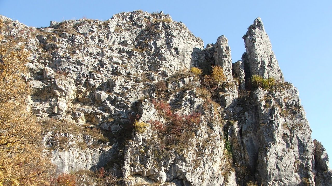
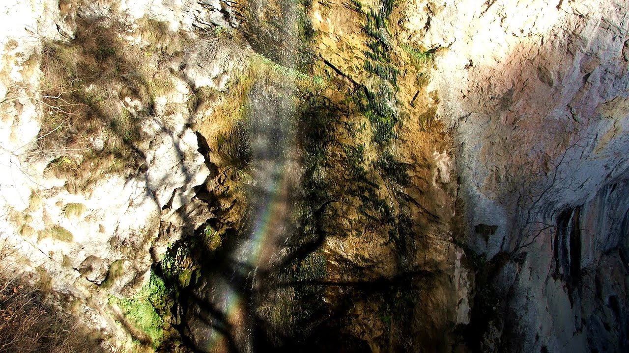
Ticuiata Rock - Trascau Mountains | Photos
Hiking photos and videos Login Register
Select language: - Magyar - Romana - Deutsch - Français - Italiano - Español -
Select language: - Magyar - Romana - Deutsch - Français - Italiano - Español -


Page no. 1, photos: 1-10, 12 photos in total. >>>

Copyright © 2018 - 2025 Trekkingklub.com.
Already published 8983 photos and 180 videos. Please register for full and ad-free access.
Photos of nearby places


Stone of Cetea, Horse Pit (The pit cave from the Stone of Cetea) - Trascau Mountains (16 photos) 5.57 km away


Goat Stone (Piatra Craivii, Piatra Craivei, Apulon) - Craiva, Trascau Mountains (18 photos) 6.9 km away


Dark Blue Bruises of the Ponor (Vanatarile Ponorului) - Trascau Mountains (16 photos) 15.28 km away
The Dark Blue Bruises of the Ponor (Vanatarile Ponorului) is a polje-type protected area. Polje is a Slovenian word meaning plain, and it refers to a surface karst form.
[ Top ↑ ]
Videos of nearby places
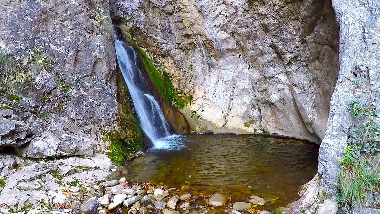
Roman Baths (Baile Romane) - Cetea, Trascau Mountains 0.12 km away
Among the valleys of the Trascau Mountains, the Cetea Gorge best deserves the name of a crevice valley. Here, the waters of the Cetea Stream cut through the Mariuta limestone cliff, flowing through a narrow crevice that is only about 1-2 meters wide.
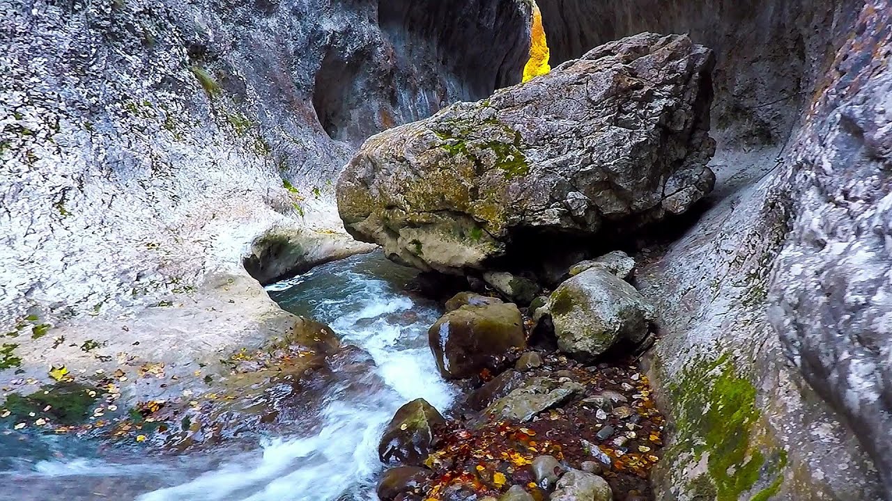
Ramet Gorge (Cheile Rametului) - Goagiu Creek (Paraul Goagiu), Trascau Mountains 8.13 km away
The Ramet Gorge is the wildest canyon in the Trascau Mountains. Where the valley of the Ramet (Goagiu) Creek is now, there once was an extensive cave system.
Other places
Prohodna cave (The Eyes of God) Karlukovo 344.32 km away
The cave nicknamed The Eyes of God is located in Bulgaria, in the Iskar Gorge, on one of the largest karst areas in Bulgaria, 2 km from the town of Karlukovo. It is essentially a 262-meter-long natural stone bridge, with a large (45 m high) and a small (35 m high) entrance.
The cave nicknamed The Eyes of God is located in Bulgaria, in the Iskar Gorge, on one of the largest karst areas in Bulgaria, 2 km from the town of Karlukovo. It is essentially a 262-meter-long natural stone bridge, with a large (45 m high) and a small (35 m high) entrance.
The Cave of Thieves (Pestera Hotilor, Tolvajos) Apata 150.51 km away
The Cave of Thieves, located in the Olt Gorge at Racos, is situated at the source of the Tepeu creek. From the karst spring that emerges from the cave, one of the branches of the creek originates.
The Cave of Thieves, located in the Olt Gorge at Racos, is situated at the source of the Tepeu creek. From the karst spring that emerges from the cave, one of the branches of the creek originates.
Deubel's path Piatra Craiului Mountains (King's Rock) 150.74 km away
Snow-covered valley of Balea and the Transfagarasan in winter The ascent 106.1 km away
The Fagarasi Mountains can be easily approached from the north, mainly by using the Transfagarasan Road. This high altitude mountain road is only accessible during the summer months (throughout its entire length), but from the Balea Waterfall station (Statia Balea Cascada) you can also reach the Balea Lake by cable car.
The Fagarasi Mountains can be easily approached from the north, mainly by using the Transfagarasan Road. This high altitude mountain road is only accessible during the summer months (throughout its entire length), but from the Balea Waterfall station (Statia Balea Cascada) you can also reach the Balea Lake by cable car.
Varghis gorges in winter 153.06 km away
I went out to admire the ice stalagmites (standing icicles) in the Varghis Gorge. Anyone arriving here at the end of winter can observe meter-high ice stalagmites in the entrance area of Meresti Cave (now known as Orban Balazs Cave).
I went out to admire the ice stalagmites (standing icicles) in the Varghis Gorge. Anyone arriving here at the end of winter can observe meter-high ice stalagmites in the entrance area of Meresti Cave (now known as Orban Balazs Cave).
[ Top ↑ ]
[ Top ↑ ]
Copyright © 2003-2025 Trekkingklub and friends. Reproduction of any text, picture or video from this website, either in printed or electronic form, is prohibited without prior written permission.
The given distances are to be understood as straight line distances, and are approximate. Website made in Miercurea Ciuc  .
.