Reci lake - Covasna county | Photos


Page no. 1, photos: 1-5, 5 photos in total.

Copyright © 2007 - 2026 Trekkingklub.com. Please register for full and ad-free access.
Airport nearby: Ghimbav International Airport (GHV - Brașov (Ghimbav), Ro), 35 km away.
Photos of nearby places


Surroundings of Covasna town (24 photos) 21.8 km away. Fortress of Fairies, Narrow gauge railway Covasna-Comandau

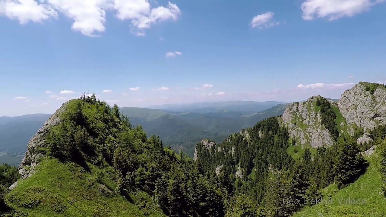
Veczer Rock (12 photos) 22.3 km away. The Veczer Rock is located 3 km south of the village of Ariusd, on the southern slope of the place named Veczer. The tall hill is encircled by the Olt River, with conglomerate rocks resembling giants stretching above the river.


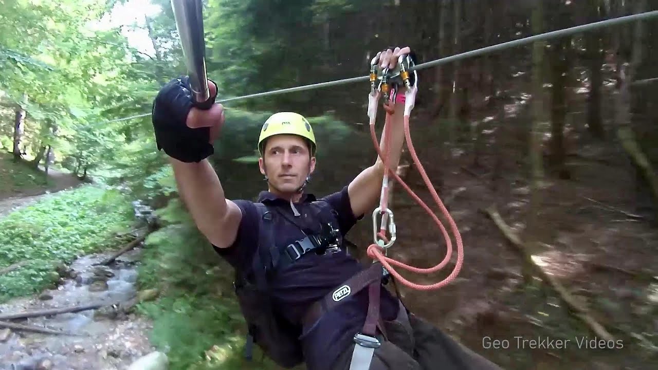
Devils Hand Rock - Ciucas Mountains (30 photos) 30 km away. Dalghiu - Devil's Hand Rock - Ciucas peak - Vama Buzaului


[ Top ↑ ]
Videos of nearby places

Preachers Rock - Bodoc Mountains 20.6 km away. In the Bodoc Mountains, west-southwest from the Henter peak, we find a rock formation shaped like a mushroom by erosion, called Preacher's Rock. This 2-meter high rock probably got its name from the pagan Hungarian priests, who preached here in the past.

Saint Anne lake - Ciomat-Puturosu 32.7 km away. Lake Saint Anna is the only well-preserved volcanic crater lake in Eastern Europe. Here are some images from an afternoon outing.
Searching for rhododendrons - Ciucas Boulevard 37.2 km away. Red Mountain (Muntele Rosu), Gropsoarele-Zaganu ridge - Ciucas Mountains
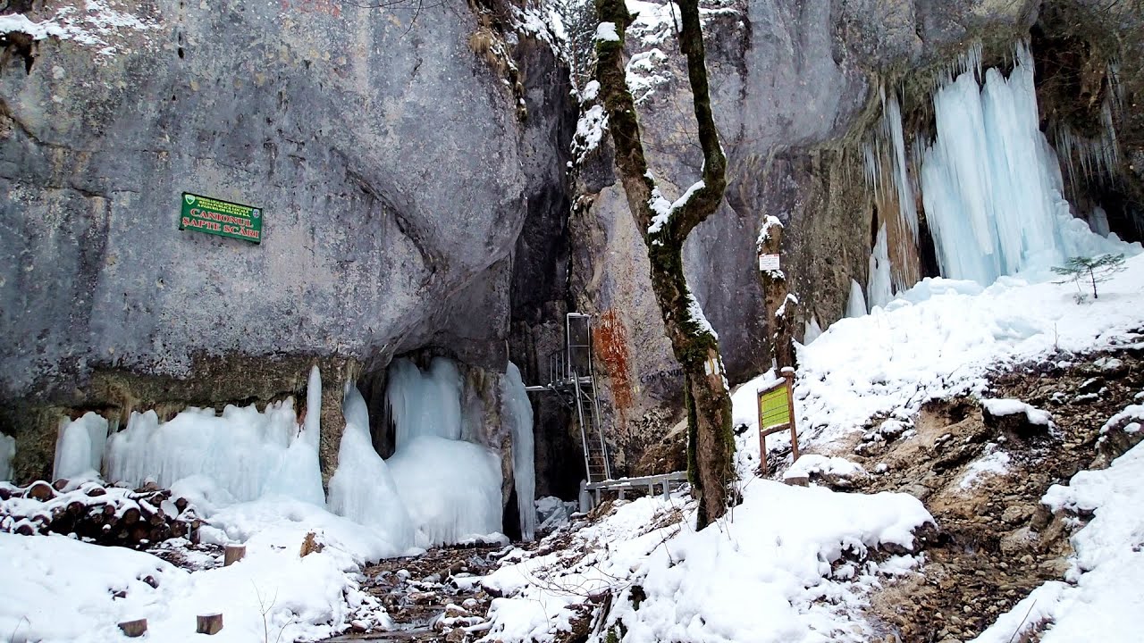
Seven Ladder Canyon in Winter - Piatra Mare Mountain 37.5 km away. Seven Ladder Canyon and Waterfall in Winter - Piatra Mare Mountain
Other places
Vadu Crisului cave 291.3 km away. The Vadu Crisului Cave, with a total length of over 1000 meters, is located in the picturesque gorge of Crisul Repede creek. It consists of a gently meandering, long passage that features an active, stream level next to an upper, fossil level in its first section.
Dalbina waterfall, Dark Blue Bruises of the Ponor 200.4 km away. Dalbina waterfall, Dark Blue Bruises of the Ponor (Vanatarile Ponorului).
Borov Kamak waterfall Zgorigrad, Vratsa 355.3 km away. The Vratsa eco-trail starts from the village of Zgorigrad, located 6 km from the city of Vratsa in Bulgaria, and ends at the Parshevitza hut. It is also known as the Zgorigradska or Borov Kamak eco-trail.
Crivadia Gorge 216.3 km away. The Crivadia Gorge is located next to the village of Crivadia, which belongs to Banita. Access is difficult, and the hike is made through the streambed, with water up to the waist at its narrowest point.
Eagles Eye Yagodina 483.4 km away. Orlovo Oko (Eagle's Eye) is a lookout viewpoint located in the Rhodope Mountains, near the peak of Saint Ilia and close to the village of Yagodina, Bulgaria. The steel structure, built at an altitude of 1,563 meters, rises 670 meters above the spectacular Buynovsko Gorge, along with the winding river and road that traverse it.
The two niches with the visor Nochevo 443.7 km away. Dvete nishi s kozirkata (The two niches with the visor) - Nochevo.
Roman Baths Geoagiu-Bai, Metaliferi Mountains 215.4 km away.
Wild Ferenc iron path Suhardul Mic 107.8 km away. While I climbed the new iron path mostly in the dark for the first time, this time I managed to explore it during the day. But I still missed the sunset by a few minutes.
Piticot iron path for children Suncuius 287.8 km away.
Abandoned copper mine Tsar Asen, Pazardzhik 407.2 km away. The turquoise waters of this mine lake are extremely beautiful but dangerously poisonous. Do not descend to the shore or touch the water!
Winds iron path Baia de Fier 184.7 km away. The Wind's iron path (Via ferrata Vanturilor, D) is the via ferrata route number 11 in the Baia de Fier - Polovragi area. The sign at the base of the route was installed on February 9, 2020.
Billy-goat lake, Closed Gates Retezat Mountains 240.1 km away. The most unique ridge trail of the Retezat Mountains is the Closed Gates.Below, at an altitude of 2070 m above sea level, is the Billy-goat lake.
Ladys Stones Rarau Mountains 181.7 km away. The Lady's Stones represent the heart, the mind, and the soul. The first two only help to understand the world when one possesses knowledge (they can be climbed with rock climbing gear), as emotions and thoughts (the two rock towers) obscure reality (the view).
Falco Peregrinus via ferrata Falcons Rock, Corbu 133.2 km away. Falco Peregrinus (Peregrine falcon) via ferrata (B/C) - Falcon's Rock, Corbu.
[ Top ↑ ]
Copyright © 2003-2026 Trekkingklub and friends. Reproduction of any text, picture or video from this website, either in printed or electronic form, is prohibited without prior written permission.
The given distances are to be understood as straight line distances, and are approximate. Website made in Miercurea Ciuc  .
.