Tourist attractions near Arieseni (Arieseni, Alba county, Romania)
Photos of nearby places


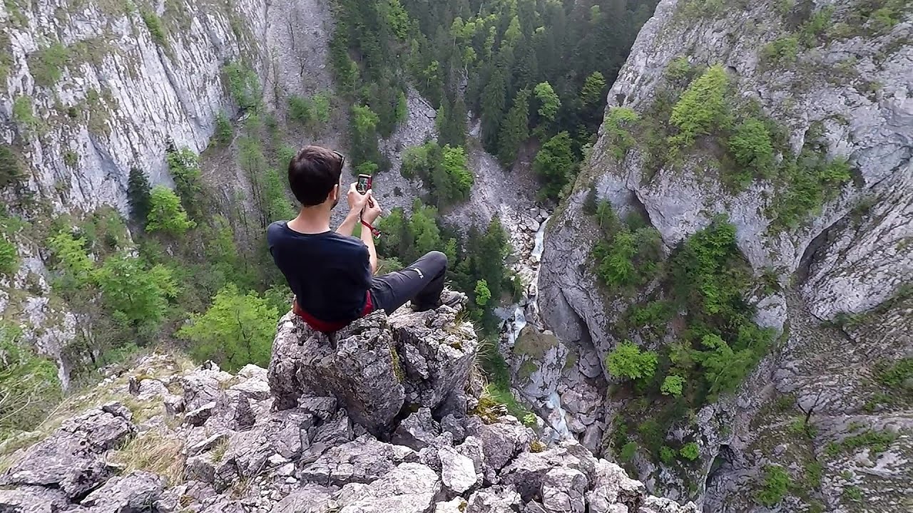
Valley of Hell - Padurea Craiului Mountains (23 photos) 40.1 km away. Valley of Hell (Valea Iadului) - Padurea Craiului Mountains.

Kings Cave - Padurea Craiului Mountains (48 photos) 45.1 km away. Craiului (Kings) Cave - Padurea Craiului Mountains.

Fern Cave - Padurea Craiului Mountains (9 photos) 45.5 km away. Ferigi (Fern) Cave - Padurea Craiului Mountains.

Oxen Waterfall - Padurea Craiului Mountains (12 photos) 48.7 km away. Oxen Waterfall (Cascada Boilor) - Padurea Craiului Mountains.

Sohodol pit cave - Padurea Craiului Mountains (10 photos) 49.3 km away. Sohodol pit cave (Avenul Sohodol) - Padurea Craiului Mountains.

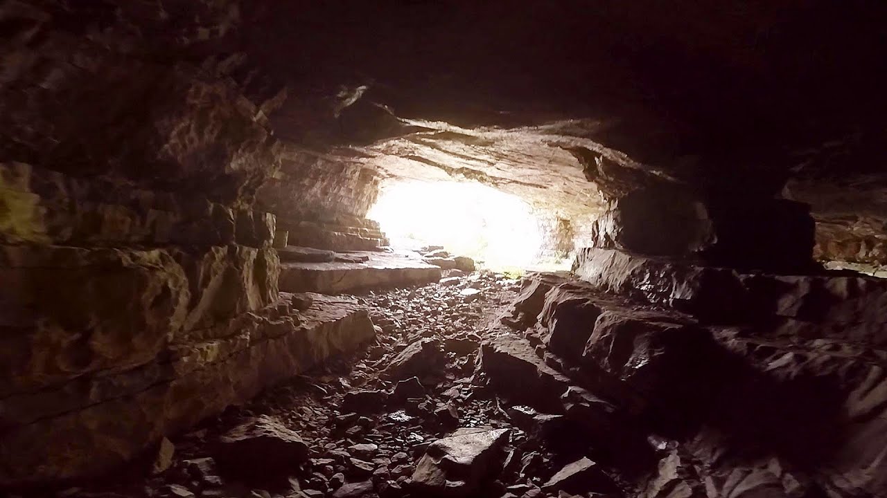
Moanei Cave - Padurea Craiului Mountains (58 photos) 50.1 km away. The Moanei Cave (Pestera Moanei) is located on the upper course of the Misid River, on the right side of the Misid Gorge (Cheilor Misidului). The cave has two entrances, one fossil and sloped, while a subterranean stream flows through the active gallery.

Napistileu cave - Padurea Craiului (10 photos) 53.3 km away. Napistileu (Ungurul Mic) cave - Padurea Craiului Mountains.

The cave from the spring - Padurea Craiului Mountains (8 photos) 53.3 km away. Pestera de la Izvor (The cave from the spring) - Padurea Craiului Mountains.


Cave of Winds - Padurea Craiului Mountains (24 photos) 53.9 km away. The Cave of Winds (Pestera Vantului) is located in the Padurea Craiului Mountains, not far from Frantura meadow, near Suncuius, on the left geographical side of the Crisul Repede River. The Cave of Winds was discovered in 1957 by Béla Bagaméri and is currently (as of 2003) the longest cave system known in Romania as well as in the Carpathian Basin.

Balcony Clearing - Trascau Mountains (6 photos) 55.1 km away. Balcony Clearing (Erkély-tisztás, Balconul Sipotelor) - Trascau Mountains.

Dark Blue Bruises of the Ponor, Bedeleu (24 photos) 55.2 km away. Dark Blue Bruises of the Ponor (Vanatarile Ponorului), Bedeleu - Trascau Mountains.

Dark Blue Bruises of the Ponor - Trascau Mountains (16 photos) 55.2 km away. The Dark Blue Bruises of the Ponor (Vanatarile Ponorului) is a polje-type protected area. Polje is a Slovenian word meaning plain, and it refers to a surface karst form.

Aries valley - Trascau Mountains (10 photos) 55.5 km away. Aries (Golden) valley - Trascau Mountains.

Goats Ledge - Trascau Mountains (10 photos) 57.6 km away. Goats Ledge (Brana Caprei, Kecskék párkánya) - Trascau Mountains .

Stone of Cetea, Horse Pit - Trascau (16 photos) 60.8 km away. Stone of Cetea, Horse Pit (The pit cave from the Stone of Cetea) - Trascau Mountains.
[ Top ↑ ]
Videos of nearby places

Black Rocks iron path - Bihor Mountains 10.5 km away. Black Rocks is located in the Bihor Mountains, near the Vartop Saddle, to the west of it. It is interesting that the locals (if I understood correctly) do not know this name, but use the name Piatra Buna (meaning Good Stone) for this spectacular rock.

Pisoaia waterfall - Vidra 15.9 km away. Pisoaia waterfall (Pisoaia Vidrii, Urine of the otter) - Nemesi, Vidra.

Meziad cave - Padurea Craiului Mountains 38.2 km away. The Meziad Cave is located near the village of Meziad, 22 km north of Beius, in the Padurea Craiului Mountains. It is one of our first tourist caves, its exploration is associated with the name of Gyula Czárán, cave researcher and writer.

Crystal Cave at Farcu Mine 45.5 km away. In the Padurea Craiului Mountains, near Rosia, in the Farcu bauxite mine, in 1987, the miners accidentally discovered a cave. It was filled with crystal-shaped limestone formations.

Other places
The Gorge of the Creek of the Gorge Buila-Vanturarita National Park 171.4 km away. The Gorges of the Creek of the Gorge (Cheii Gorge, Cheile Cheii) is located in the Buila-Vanturarita National Park within the Capatana Mountains. It is one of the most beautiful and picturesque gorges in Romania.
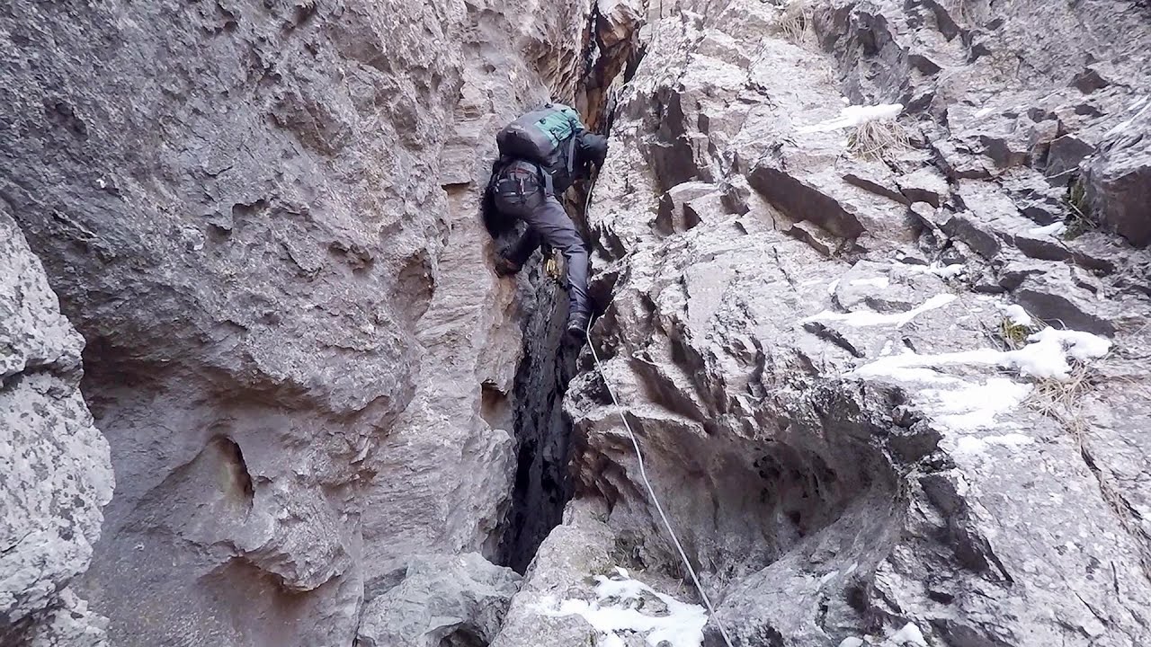
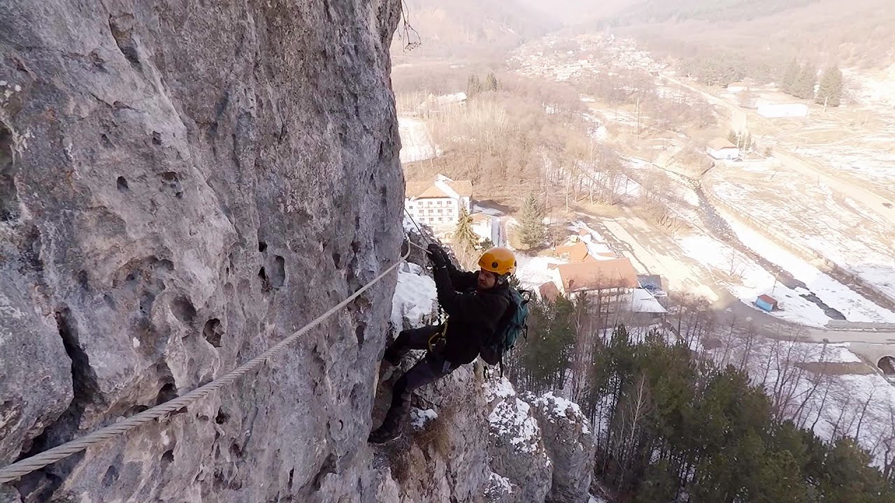
Via ferrata Ari Peja 468.6 km away.

Stone Forest Slanchevo The Stone Forest (Stones stuck in the ground, Pobiti Kamani) of Bulgaria is located 18 km west of Varna, at the foothills of the Eastern Balkan Mountains. Its Bulgarian name, Pobiti Kamani, translates to planted stones, and it is referred to in English as the Stone Desert or Stone Forest.
Iskar gorge Lyutibrod Temnata dupka cave Lakatnik 380 km away. The Iskar is the longest purely Bulgarian river, the oldest river in the Balkans, and a right tributary of the Danube. The river is 368 km long, with approximately 150 km consisting of a gorge.

Saint Anne lake Ciomat-Puturosu 243.7 km away. Lake Saint Anna is the only well-preserved volcanic crater lake in Eastern Europe. Here are some images from an afternoon outing.
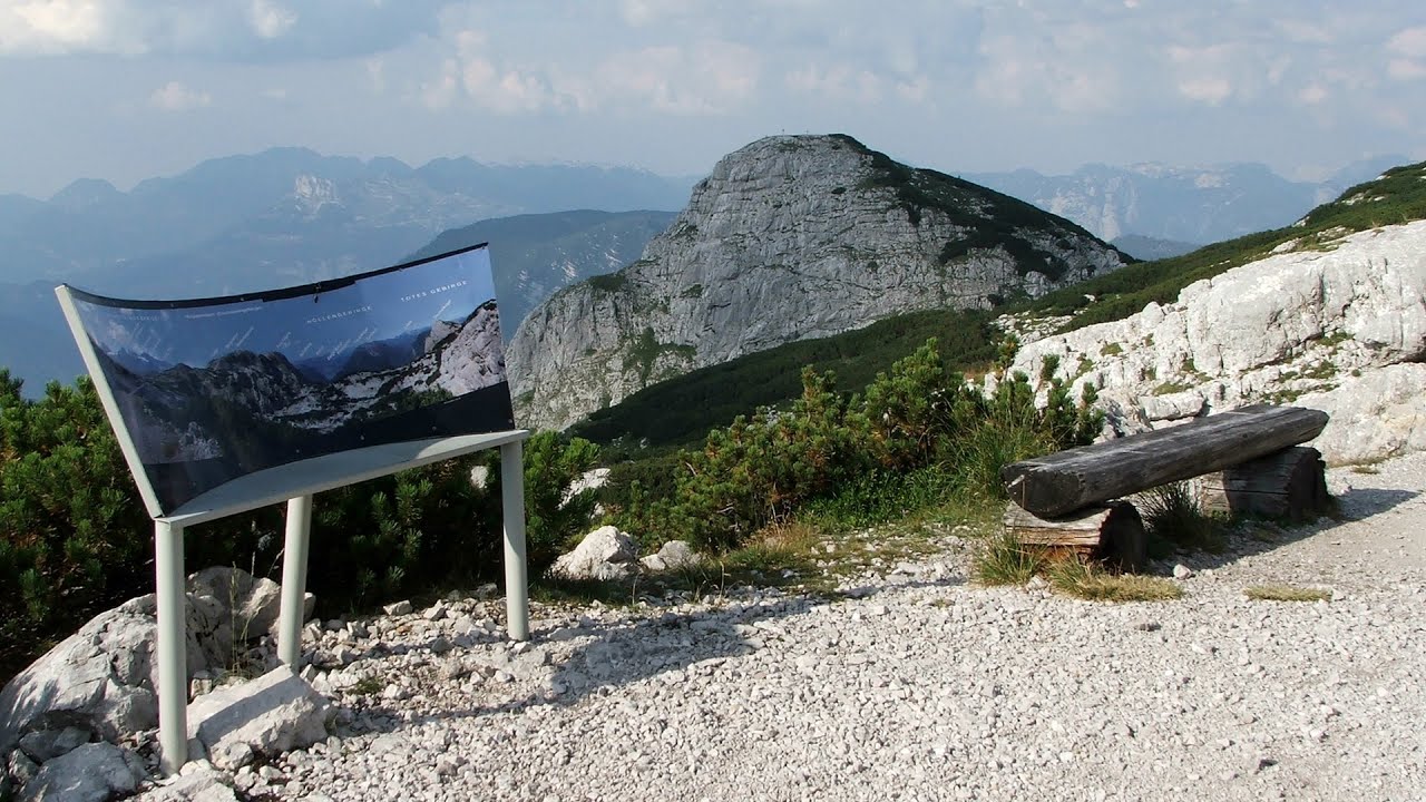
Five Fingers, World NATURE Heritage Lookout, World Heritage Spiral, Dachstein Shark The second station of the cable car departing from Obertraun is the Krippenstein peak (2100 m). Here you can find the famous Five Fingers (5fingers) lookout, which offers a unique view of Hallstatt and Obertraun below, as well as the Hallstättersee lake.
Womens Spiral, Cave Ridge, and The Great Crack iron paths Baia de Fier 162.4 km away. Perhaps the most interesting via ferrata among the routes in the Baia de Fier area is the Womens Spiral. After completing it, I can say that it is the second most thrilling via ferrata in Romania, following the Big Via Ferrata at Rasnov.
The Stone Path Nochevo Kamennata pateka (The Stone Path) - Nochevo.
[ Top ↑ ]
Copyright © 2003-2026 Trekkingklub and friends. Reproduction of any text, picture or video from this website, either in printed or electronic form, is prohibited without prior written permission. Website made with love  in Miercurea Ciuc.