Ordancusa Gorge | Photos
Page no. 1, photos: 1-6, 6 photos in total.
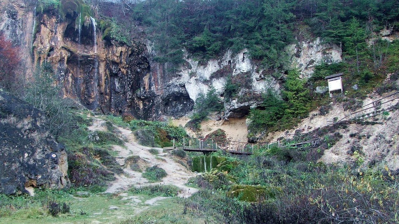
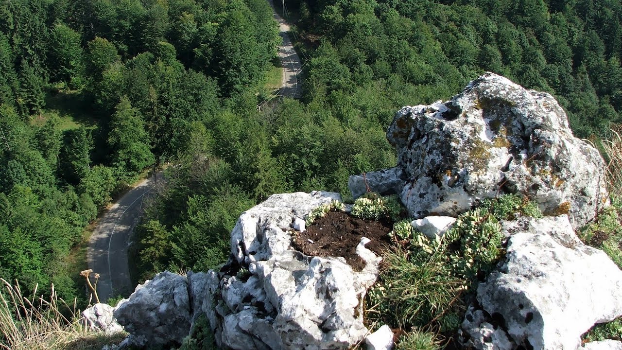
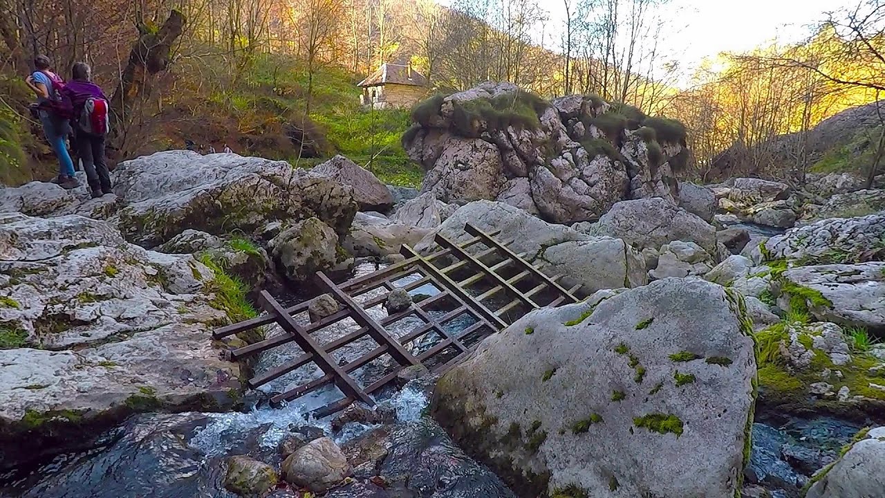
Ordancusa Gorge (Cheile Ordancusei).
Copyright © 2005 - 2026 Trekkingklub.com. Please register for full and ad-free access.
Airport nearby: Avram Iancu International Airport (CLJ - Cluj-Napoca, Ro), 73 km away.
Photos of nearby places
[ Top ↑ ]
Videos of nearby places

Pisoaia waterfall - Vidra 12.5 km away. Pisoaia waterfall (Pisoaia Vidrii, Urine of the otter) - Nemesi, Vidra.

Black Rocks iron path - Bihor Mountains 17.3 km away. Black Rocks is located in the Bihor Mountains, near the Vartop Saddle, to the west of it. It is interesting that the locals (if I understood correctly) do not know this name, but use the name Piatra Buna (meaning Good Stone) for this spectacular rock.

Meziad cave - Padurea Craiului Mountains 42.9 km away. The Meziad Cave is located near the village of Meziad, 22 km north of Beius, in the Padurea Craiului Mountains. It is one of our first tourist caves, its exploration is associated with the name of Gyula Czárán, cave researcher and writer.

Huda lui Papara cave - Salciua de Jos 48.2 km away. Huda lui Papara cave (Paparas Hole) - Salciua de Jos, Trascau Mountains.
Other places
Transalpina Ski Resort Vidra lake 134.8 km away.
Natural stone bridge Aglen 382.1 km away. Natural stone arch on the Vit river, near the village of Aglen. Crocodile shaped rock, Elephant rock.
Berim via ferrata Zubin Potok 435.3 km away. Difficulty level D, total length: 4 km, height difference: 520 m, year of construction: 2015. Climbing season: May 1 - October 30.
Waterfalls of Lapos creek Bicaz Gorge 229.6 km away. One of the lesser-known attractions of the Bicaz Gorges is the series of waterfalls along Lapos Creek. This creek flows between Cupas Stone and Bardos Stone before eventually merging with Bicaz Creek, forming spectacular waterfalls beneath the Altar Stone.
Muierii Cave Baia de Fier 158.7 km away. We visited the Baia de Fier area, and climbed on the rock that also conceals the Women's Cave (Pestera Muierilor). Between two via ferrata routes, we also participated in one of the guided cave tours, which depart every hour.
Via ferrata Ari Peja 471.2 km away.
Small Via ferrata Rasnoavei Gorge 230.5 km away. In the past few days, it has snowed, so I climbed the two climbing routes in the Rasnoavei Gorge under winter conditions. While the lower part of the challenging Big via ferrata was dry, the upper section had patches of snow and icicles.
Niedzica Castle 378.2 km away. Niedzica Castle (Dunajec Castle, Zamek w Niedzicy).
Belogradchik fortress 317 km away. Belogradchik is located in the northwestern part of Bulgaria, in the Vidin Province, at the foot of the Balkan Mountains, near the Serbian border. Its name means little white town.
Sterp- and White creek valleys Ciucas Mountains 267.1 km away.
Gods bridge Vratsa 355.4 km away. Anyone who has been to Bulgaria may be familiar with the Prohodna Cave, affectionately known as the Eyes of God; the Devetashka Cave, illuminated by seven windows in its ceiling. And perhaps they have also seen the Wonderful Bridges in the Rhodope Mountains.
Shipka pass Shipka 458 km away. The Shipka Pass is one of the most spectacular crossings of the Balkan Mountains, and is part of the Bulgarka Nature Park. It separates the provinces of Gabrovo and Stara Zagora, and provides a connection between the cities of Gabrovo and Kazanlak.
Jacob Hill Lookout Western Mecsek 363.8 km away. Jacob Hill is a popular hiking destination in Western Mecsek, with an elevation of 592 m. At the top, there are the ruins of a Pauline monastery and a lookout tower.
Mucanj via ferrata and the Boze Javorca cave Ravna Gora 393 km away. Difficulty level C/D, total length: 500 m, height difference: 200 m, year of construction: 2022. The via ferrata is free to climb.
Via ferrata Marimangat Peja 471.7 km away.
[ Top ↑ ]
Copyright © 2003-2026 Trekkingklub and friends. Reproduction of any text, picture or video from this website, either in printed or electronic form, is prohibited without prior written permission.
The given distances are to be understood as straight line distances, and are approximate. Website made in Miercurea Ciuc  .
.
 .
.


