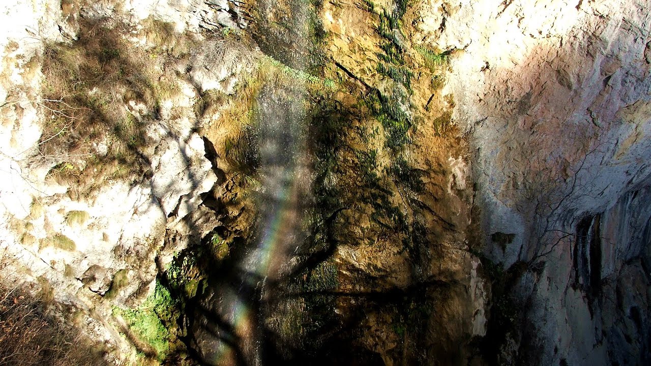
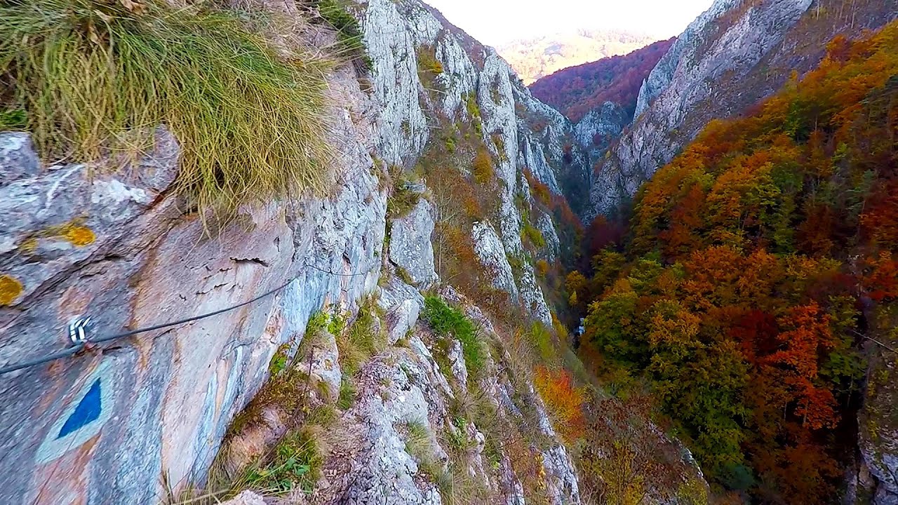
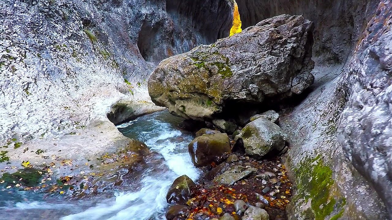
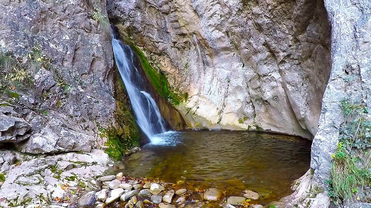
Huda lui Papara cave - Salciua de Jos | Video


Huda lui Papara cave (Paparas Hole) - Salciua de Jos, Trascau Mountains.
Filmed with GoPro HERO5 Black. Music: Brooks by Kai Engel. Copyright © 2018 - 2026 Geo Trekker Videos. Please register for full and ad-free access.
Airport nearby: Avram Iancu International Airport (CLJ - Cluj-Napoca, Ro), 48 km away.
Photos of nearby places


Dark Blue Bruises of the Ponor - Trascau Mountains (16 photos) 1.2 km away. The Dark Blue Bruises of the Ponor (Vanatarile Ponorului) is a polje-type protected area. Polje is a Slovenian word meaning plain, and it refers to a surface karst form.

Dark Blue Bruises of the Ponor, Bedeleu (24 photos) 1.7 km away. Dark Blue Bruises of the Ponor (Vanatarile Ponorului), Bedeleu - Trascau Mountains.

Balcony Clearing - Trascau Mountains (6 photos) 2.8 km away. Balcony Clearing (Erkély-tisztás, Balconul Sipotelor) - Trascau Mountains.

Aries valley - Trascau Mountains (10 photos) 3.7 km away. Aries (Golden) valley - Trascau Mountains.


Goats Ledge - Trascau Mountains (10 photos) 9.2 km away. Goats Ledge (Brana Caprei, Kecskék párkánya) - Trascau Mountains .


Szekler Stone North - Trascau Mountains (8 photos) 12.1 km away. Szekler Stone North (Piatra Secuilor Nord) - Trascau Mountains.

Szekler Stone - Trascau Mountains (42 photos) 12.1 km away. Szekler Stone (Székely-kő, Piatra Secuilor) - Trascau Mountains.

Stone of Cetea, Horse Pit - Trascau (16 photos) 13 km away. Stone of Cetea, Horse Pit (The pit cave from the Stone of Cetea) - Trascau Mountains.
[ Top ↑ ]
Videos of nearby places
Dalbina waterfall, Dark Blue Bruises of the Ponor 1.1 km away. Dalbina waterfall, Dark Blue Bruises of the Ponor (Vanatarile Ponorului).

Goats Ledge iron path - Ramet Gorge 9.2 km away. Via ferrata Goats Ledge (Brana Caprei) iron path - Ramet Gorge, Trascau Mountains.
Ramet Gorge - Goagiu Creek 9.8 km away. Ramet Gorge (Cheile Rametului) - Goagiu Creek (Paraul Goagiu), Trascau Mountains. The Ramet Gorge is the wildest canyon in the Trascau Mountains.
Roman Baths - Cetea, Trascau Mountains 16.2 km away. Roman Baths (Baile Romane) - Cetea, Trascau Mountains. Among the valleys of the Trascau Mountains, the Cetea Gorge best deserves the name of a crevice valley.
Other places
Durdevica via ferrata and the canyon of the Ibar river Ribarice 448.6 km away. Difficulty level C/D (D/E), total length: 700 m, height difference: 200 m, year of construction: 2024. For experienced climbers with their own equipment, the registration fee is 5 euros per person.
Sugau Rock lookout point and iron path 188.8 km away. Sugau Rock lookout point and iron path (B/C). Sugau Gorges - Munticelu Nature Reserve, Hasmas Mountains.
Lednica iron path Brestnitsa 375.1 km away. The Lednica via ferrata is located next to the Saeva Dupka Cave, near the village of Brestnitsa in Bulgaria. The trail leading to the via ferrata, which opened in 2007, starts from the cave parking lot next to a covered resting area.
Suchurum waterfall Karlovo 428 km away. The 15-meter-high Suchurum Waterfall is located at the foot of the Stara Planina mountain range, 1 km north of the town of Karlovo in Bulgaria. It is situated below the Karlovo hydroelectric power plant, on the waters of the Stara Reka stream.
Walking to the top of Sumuleul Mare Sumuleu Ciuc 182.6 km away. This was my first attempt at shooting a video.
Oltet Gorge Capatana Mountains 133 km away. Oltet Gorge (Cheile Oltetului) - Capatana Mountains. That day, we had planned to ski at the Ranca resort, situated alongside the Transalpina high altitude mountain road in the Parang Mountains.
Poienii Rock, north-eastern lookout point Bicaz Gorge 186.7 km away. From the viewpoint at the top of the northeastern wall of Poienii Rock in the Bicaz Gorges, we can look down 300 meters to the mouth of the Bicajel stream. The Bridge of the Hungarians is hidden among pine trees.
Nobodys lake Miercurea Ciuc 176.4 km away. The passage of time (time lapse), dusk at Nobody's Lake. Miercurea Ciuc and the Sumuleu mountain can be seen in the background.
Muierii Cave Baia de Fier 134.1 km away. We visited the Baia de Fier area, and climbed on the rock that also conceals the Women's Cave (Pestera Muierilor). Between two via ferrata routes, we also participated in one of the guided cave tours, which depart every hour.
Virus and Antivirus iron paths Baia de Fier 134.3 km away. With Virus (B/C) and Antivirus (C), the number of via ferrata routes at Baia de Fier has increased to thirteen. In fact, it is a Y-shaped route that starts near the entrance of the Laura via ferrata, and the exits are located just a few meters from the Laura exit.
Upstream of the Izvorul Dorului creek Vanturis waterfalls 194.2 km away. Upstream of the Izvorul Dorului (Source of longing) creek - Vanturis waterfalls, Bucegi Mountains.
Hot air balloon parade 2015 Campu Cetatii 122.2 km away. This year, the Hot Air Balloon Parade was organized in Campu Cetatii for the tenth time. Unfortunately, the weather only allowed for flying on Saturday morning and evening.
Byala Reka eco-trail Kalofer 430.7 km away. The Byala Reka eco-trail is situated at the foot of the Stara Planina mountain range, 8 km from the town of Kalofer. A 1,830-meter-long hiking trail has been established along the White Creek within the Central Balkan National Park.
Banita Gorge and Banita rock bridge 104.1 km away. They say about this place that only very few people know about it, but that's not true. In fact, most nature lovers have heard of it, seen pictures taken here, even if not everyone has been able to come here.
Iron path in winter Harghita Madaras 161.4 km away. This is already the sixth time I've climbed the via ferrata route set up on the rocky cliffs of Seii Peak near Harghita Madaras. Although the forecast suggests that the weather should be nice, I am greeted by a sky covered in clouds.
[ Top ↑ ]
Copyright © 2003-2026 Trekkingklub and friends. Reproduction of any text, picture or video from this website, either in printed or electronic form, is prohibited without prior written permission.
The given distances are to be understood as straight line distances, and are approximate. Website made in Miercurea Ciuc  .
.