Muierii Cave - Baia de Fier | Video


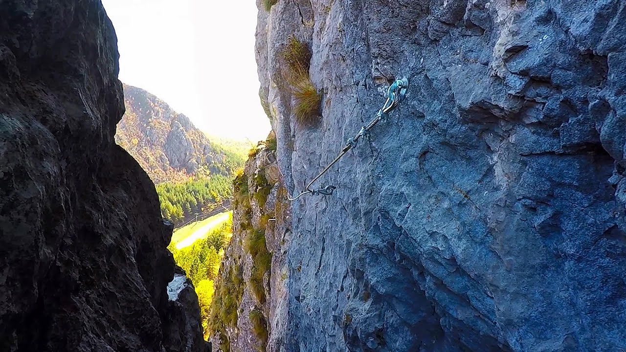
We visited the Baia de Fier area, and climbed on the rock that also conceals the Women's Cave (Pestera Muierilor). Between two via ferrata routes, we also participated in one of the guided cave tours, which depart every hour.
Read more
Filmed with GoPro HERO5 Black. Music: Encore - Tender by Kai Engel. Copyright © 2017 - 2026 Geo Trekker Videos. Please register for full and ad-free access.
Airport nearby: Sibiu International Airport (SBZ - Sibiu, Ro), 71 km away.
Photos of nearby places

Womens Cave - Parang Mountains (11 photos) 0 km away. The Cave of Women (Pestera Muierii, Pestera Muierilor) is located at the southern foot of the Parang Mountains, in the area of Baia de Fier in Gorj County. There are several climbing routes established on the rocks above the cave and on the other side of the road.


Parangul Mare peak (16 photos) 23.5 km away. Chamois saddle (Saua Caprelor), Carja mountain shelter (Refugiul Carja) - Carja peak (Varful Carja) - Stoienita peak (Varful Stoienita) - Gemanarea - Parangul Mare peak.


Ledge path of the chamois - Cheii Gorge (40 photos) 30.2 km away. Ledge path of the chamois (Brana Caprelor) - Cheii Gorge (Cheile Cheii).

Doabra Snail Shells - Brezoi (12 photos) 42.3 km away. Doabra Valley - Calinesti-Brezoi forest - Lotru Valley, Cozia National Park

Boli Cave - Banita (20 photos) 44.7 km away. The main cave passage is approximately 460 m long, with an entrance portal that is 10 m high and 20 m wide at its base. In the 1960s, bridges were built over the underground stream flowing through the cave.

Banita Gorge - Banita (16 photos) 45 km away. The approximately 250 m long gorge, similar to the Corcoaia Gorge, is truly spectacular. According to assumptions, it was formed by the collapse of a cave passage ceiling, and then the erosion formed spectacular karst formations in the limestone.


Natural bridge next to the Banita Stone Quarry (12 photos) 47.7 km away. Although the Banita Stone Bridge is not far from the road that passes through the village, it is located beyond the railway line, so its approach is a bit cumbersome. We can go around the railway line on Carierei Street, and then we have to walk a few meters from the stone quarry.

Circular hiking tour in Cozia Mountain (48 photos) 47.8 km away. Arutela - Turnu monastery - Rosiei Rocks - Turneanu ridge - Cozia peak - Stone portal - Stanisoara monastery - Gardului waterfall.
[ Top ↑ ]
Videos of nearby places
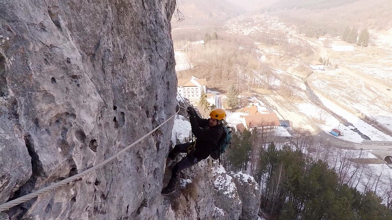
Womens Spiral, Cave Ridge, and The Great Crack iron paths - Baia de Fier 0 km away. Perhaps the most interesting via ferrata among the routes in the Baia de Fier area is the Womens Spiral. After completing it, I can say that it is the second most thrilling via ferrata in Romania, following the Big Via Ferrata at Rasnov.
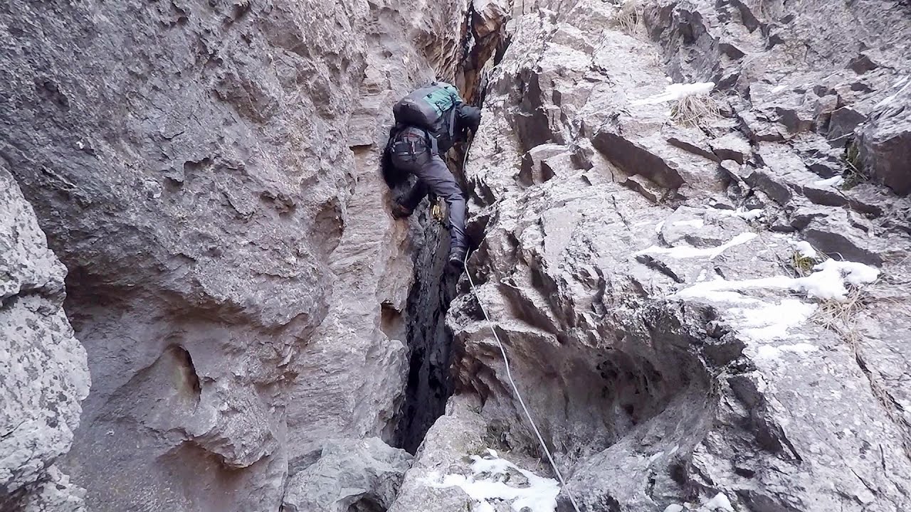
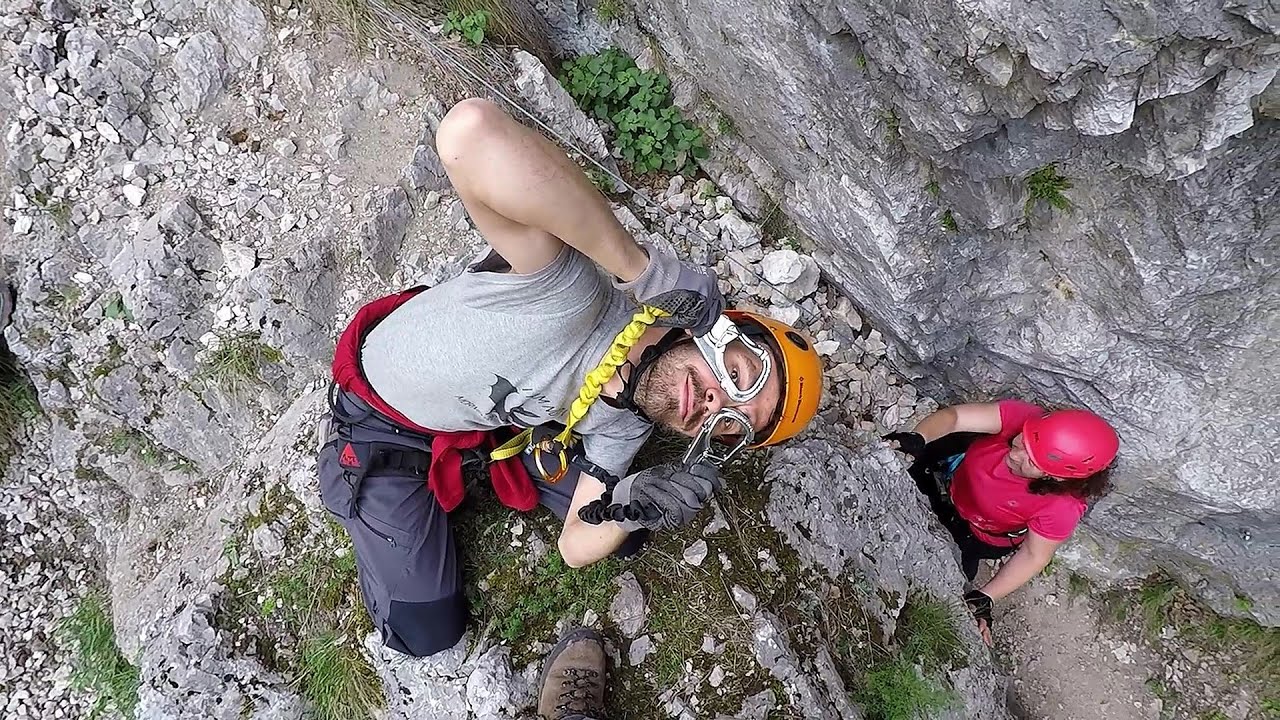
Womens Spiral via ferrata, climbing fun - Baia de Fier 0.1 km away. The Women's Spiral (Spirala Muierilor) via ferrata is set up on the rock that conceals the Women's Cave (Pestera Muierii). It is one of the seven routes near Baia de Fier as of now (2018).

Winds iron path - Baia de Fier 0.1 km away. The Wind's iron path (Via ferrata Vanturilor, D) is the via ferrata route number 11 in the Baia de Fier - Polovragi area. The sign at the base of the route was installed on February 9, 2020.
Middle Belt via ferrata route - Baia de Fier 0.1 km away. Middle Belt (Spirala Medie) via ferrata route - Baia de Fier. In May 2018, two new via ferrata routes were inaugurated in Baia de Fier.
Other places
Falco Tinnunculus via ferrata, the ascent Falcons Rock, Corbu 252.6 km away. Falco Tinnunculus (Common kestrel) via ferrata (E), the ascent - Falcon's Rock, Corbu. Over Corbu village in Harghita County, on the rocks of Falcon's Rock (Piatra Soimilor), which belong to the Bistrita Mountains, five via ferrata routes have been established.
Eagles Eye Yagodina 397.4 km away. Orlovo Oko (Eagle's Eye) is a lookout viewpoint located in the Rhodope Mountains, near the peak of Saint Ilia and close to the village of Yagodina, Bulgaria. The steel structure, built at an altitude of 1,563 meters, rises 670 meters above the spectacular Buynovsko Gorge, along with the winding river and road that traverse it.
Big Cave Nochevo 386.5 km away. Kodzha in (Golyamata Peshtera, Big Cave) - Nochevo.
Iron path Harghita-Madaras 198.6 km away. Amateur filming in Harghita-Madaras, holding the camera by hand in the car, and helmet-mounted on the via ferrata. I climbed an iron path for the first time in my life on the Nyerges cliffs (Stancile Seii), I didn't have the right equipment yet.
Tureni Gorge iron path 158 km away. Tureni Gorge iron path visiting route (Via ferrata Cheile Tureni), Trascau Mountains.
SkiGyimes ski slope Lunca de Sus 225.6 km away. It is well-known that in Rimetea, due to the Piatra Secuiului (Szekler's Rock) mountain, the Sun rises twice. However, perhaps few know that in Lunca de Sus, the Sun sets three times.
Stone Forest Slanchevo 383.2 km away. The Stone Forest (Stones stuck in the ground, Pobiti Kamani) of Bulgaria is located 18 km west of Varna, at the foothills of the Eastern Balkan Mountains. Its Bulgarian name, Pobiti Kamani, translates to planted stones, and it is referred to in English as the Stone Desert or Stone Forest.
Arched stone bridge Rugova Canyon 399.7 km away. Arched stone bridge - Rugova Canyon (Gryka e Rugoves).
Berim via ferrata Zubin Potok 359 km away. Difficulty level D, total length: 4 km, height difference: 520 m, year of construction: 2015. Climbing season: May 1 - October 30.
Bicajel Gorge Hasmas Mountains 240.8 km away. Bicajel Gorge (Cheile Bicajelului) - Hasmas Mountains.
Sleeping Beauty cave 388.1 km away. Shpella e Radacit (Sleeping Beauty) cave.
Acapulcos spur via ferrata 215.4 km away. Acapulco's spur (Pintenul lui Acapulco) via ferrata (B/C) - Montana Land, Suncuius.
Huda lui Papara cave Salciua de Jos 134.1 km away. Huda lui Papara cave (Paparas Hole) - Salciua de Jos, Trascau Mountains.
Hilis cave Turda Gorge via ferrata 152.8 km away. While the first time I climbed this via ferrata (Sky Fly) in the morning, now I climbed it in the light of the setting sun. The red-dressed rocks created a special atmosphere, and I could admire the sunset from the top of the climbing route.
Pricske peak Giurgeu Mountains 228.8 km away. If we want to reach Pricske (Prisca) peak, which rises above Gheorgheni and Lazarea, we start from the valley of the Güdüc (Ghidut) stream. Our path leads us past the ruins of a building known as the White House.
[ Top ↑ ]
Copyright © 2003-2026 Trekkingklub and friends. Reproduction of any text, picture or video from this website, either in printed or electronic form, is prohibited without prior written permission.
The given distances are to be understood as straight line distances, and are approximate. Website made in Miercurea Ciuc  .
.