Szekler Stone - Trascau Mountains | Photos


Page no. 1, photos: 1-6, 42 photos in total. >>>

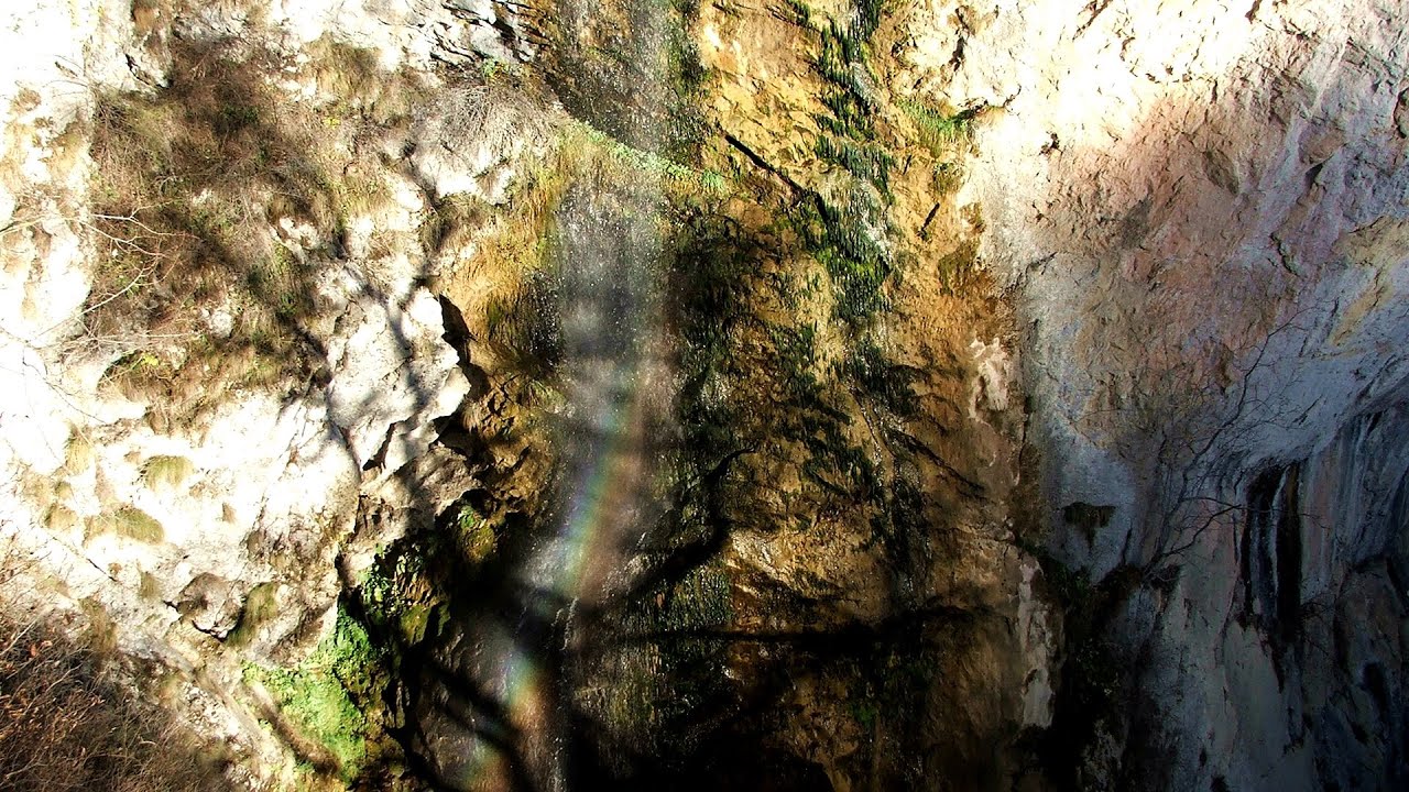
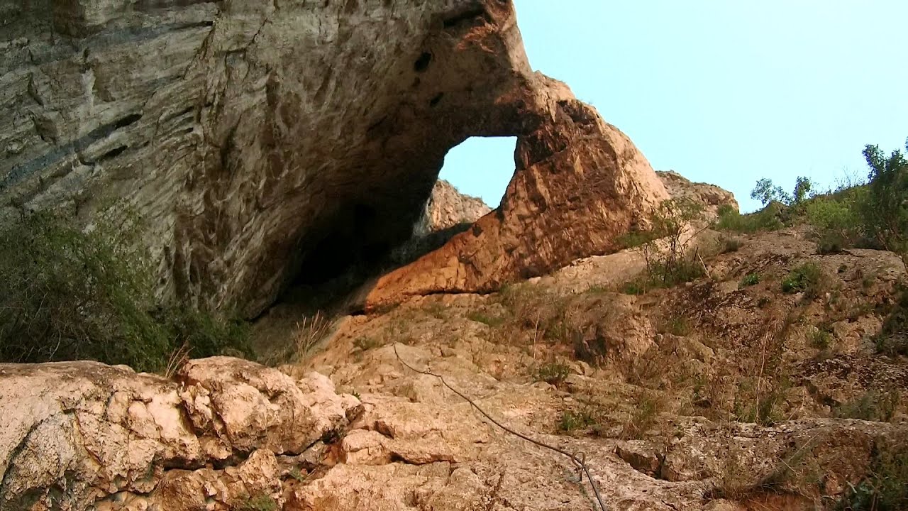
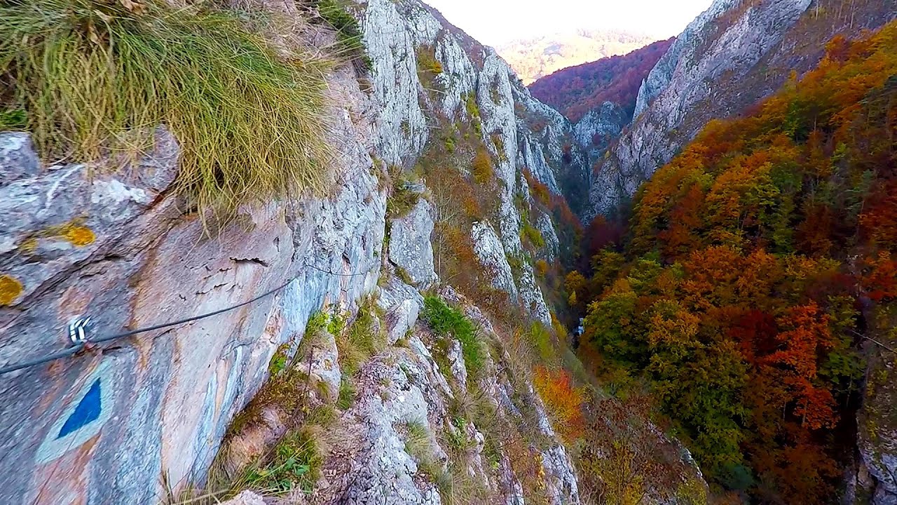
Szekler Stone (Székely-kő, Piatra Secuilor) - Trascau Mountains.
Copyright © 2005 - 2026 Trekkingklub.com. Please register for full and ad-free access.
Airport nearby: Avram Iancu International Airport (CLJ - Cluj-Napoca, Ro), 39 km away.
Photos of nearby places

Szekler Stone North - Trascau Mountains (8 photos) 0 km away. Szekler Stone North (Piatra Secuilor Nord) - Trascau Mountains.


Aries valley - Trascau Mountains (10 photos) 9.4 km away. Aries (Golden) valley - Trascau Mountains.

Balcony Clearing - Trascau Mountains (6 photos) 10.3 km away. Balcony Clearing (Erkély-tisztás, Balconul Sipotelor) - Trascau Mountains.

Dark Blue Bruises of the Ponor, Bedeleu (24 photos) 10.8 km away. Dark Blue Bruises of the Ponor (Vanatarile Ponorului), Bedeleu - Trascau Mountains.


Dark Blue Bruises of the Ponor - Trascau Mountains (16 photos) 13 km away. The Dark Blue Bruises of the Ponor (Vanatarile Ponorului) is a polje-type protected area. Polje is a Slovenian word meaning plain, and it refers to a surface karst form.

Turda Gorge - Trascau Mountains (9 photos) 14.9 km away. Turda Gorge (Cheile Turzii) - Trascau Mountains.

Turda Gorge - Trascau Mountains (11 photos) 14.9 km away. Turda Gorge (Cheile Turzii) - Trascau Mountains.

Turda Gorge via ferrata (24 photos) 14.9 km away. Turda Gorge iron path (Via ferrata Cheile Turzii) - Trascau Mountains.


[ Top ↑ ]
Videos of nearby places

Huda lui Papara cave - Salciua de Jos 12.1 km away. Huda lui Papara cave (Paparas Hole) - Salciua de Jos, Trascau Mountains.
Dalbina waterfall, Dark Blue Bruises of the Ponor 12.9 km away. Dalbina waterfall, Dark Blue Bruises of the Ponor (Vanatarile Ponorului).
Hilis cave - Turda Gorge via ferrata 14.9 km away. While the first time I climbed this via ferrata (Sky Fly) in the morning, now I climbed it in the light of the setting sun. The red-dressed rocks created a special atmosphere, and I could admire the sunset from the top of the climbing route.

Goats Ledge iron path - Ramet Gorge 19.2 km away. Via ferrata Goats Ledge (Brana Caprei) iron path - Ramet Gorge, Trascau Mountains.
Other places
Mill of the Devils Tasna Gorge 184.6 km away. Mill of the Devils (Moara Dracilor) - Tasna Gorge (Cheile Tasnei). The Tasna Gorges are located in the Mehedinti Mountains, approximately 15 km from the resort of Baile Herculane.
Buzludzha monument Kazanluk 436.6 km away. Buzludzha is a historically significant mountain located in the Central Balkan Mountains of Bulgaria. At its summit, at an altitude of 1432 meters above sea level, there is an abandoned monument.
Cherven, a medieval fortified town Bulgaria 367.5 km away. Located about 30 km south of the city of Ruse in Bulgaria, the Cherven medieval fortress can be found in the Rusenski Lom Nature Park. Originally a Byzantine fortification from the 6th century, it reached the height of its development in the 14th century.
Tapolca lake cave Balaton-felvidéki National Park 471.2 km away. The Tapolca lake cave is situated in the Balaton-felvidéki National Park. A modern visitor center has been constructed at its entrance, featuring ten rooms that highlight the unique characteristics of karst regions.
Doabra Stones Brezoi, Lotru Mountains 131.6 km away. The DN7A road branches off west from the Olt Valley, from the main road between Sibiu and Ramnicu Valcea, leading towards Voineasa and Lake Vidra. The first settlement is a small town, Brezoi, which is located at the confluence of the Lotru and Olt rivers.
Lednica iron path Brestnitsa 380.9 km away. The Lednica via ferrata is located next to the Saeva Dupka Cave, near the village of Brestnitsa in Bulgaria. The trail leading to the via ferrata, which opened in 2007, starts from the cave parking lot next to a covered resting area.
Varghis gorges in winter 152.4 km away. I went out to admire the ice stalagmites (standing icicles) in the Varghis Gorge. Anyone arriving here at the end of winter can observe meter-high ice stalagmites in the entrance area of Meresti Cave (now known as Orban Balazs Cave).
Natural stone bridge Aglen 365.9 km away. Natural stone arch on the Vit river, near the village of Aglen. Crocodile shaped rock, Elephant rock.
With snowshoes in the Tihu creek valley Rastolita 136.7 km away. We met geotrekking treasure hunters from Gheorgheni, Miercurea Ciuc and Targu Mures in Rastolita. We entered the Calimani Mountains with an off-road vehicle, along the Rastolita and Tihu streams.
Ladys Stones Rarau Mountains 186.7 km away. The Lady's Stones represent the heart, the mind, and the soul. The first two only help to understand the world when one possesses knowledge (they can be climbed with rock climbing gear), as emotions and thoughts (the two rock towers) obscure reality (the view).
Wild Ferenc memorial path Suhardul Mic 172.9 km away. In recent days, this news has been everywhere: the via ferrata route built on the southwest wall of Suhardul Mic (Little Suhard) has finally been completed and inaugurated. The new route has been named after Ferenc Wild, in memory of the former mountain rescuer, sports writer, and one of the founders of the mountain rescue association in Gheorgheni.
Byala Reka eco-trail Kalofer 435.1 km away. The Byala Reka eco-trail is situated at the foot of the Stara Planina mountain range, 8 km from the town of Kalofer. A 1,830-meter-long hiking trail has been established along the White Creek within the Central Balkan National Park.
The palm of God and the Heavens door Fundatura Ponorului mountain village 104.7 km away. One of the most picturesque places in Romania, one of the most beautiful mountain villages, and a photographer's paradise. Fundatura Ponorului is located in the Ponor Stream Valley, part of the Gradistea Muncelului - Cioclovina National Park, in the Sureanu Mountains.
Astragalus iron path in winter Glod Stone, Munticelu 177.9 km away. The official website of the Sugau Gorge published information about a new via ferrata climbing route named Astragalus. Sugau Gorges - Munticelu is a nature conservation area part of Natura 2000 located in Neamt County, which borders Harghita County.
Bicajel Gorge, Bicajel Waterfall, Stone of the Gorge 176 km away. Bicajel Gorge (Cheile Bicajelului), Bicajel Waterfall (Cascada Bicajel), Stone of the Gorge (Surduc Stone, Piatra Surducului) - Hasmas Mountains.
[ Top ↑ ]
Copyright © 2003-2026 Trekkingklub and friends. Reproduction of any text, picture or video from this website, either in printed or electronic form, is prohibited without prior written permission.
The given distances are to be understood as straight line distances, and are approximate. Website made in Miercurea Ciuc  .
.