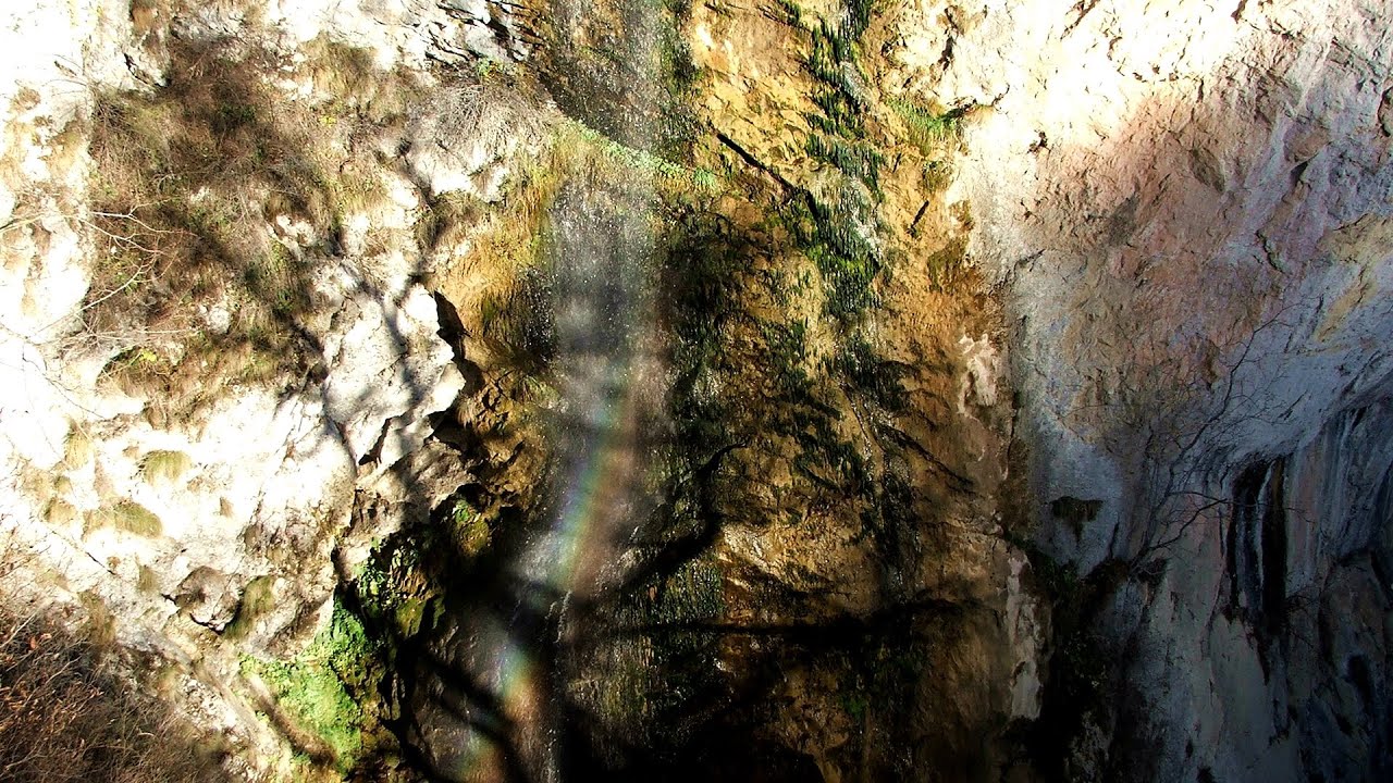
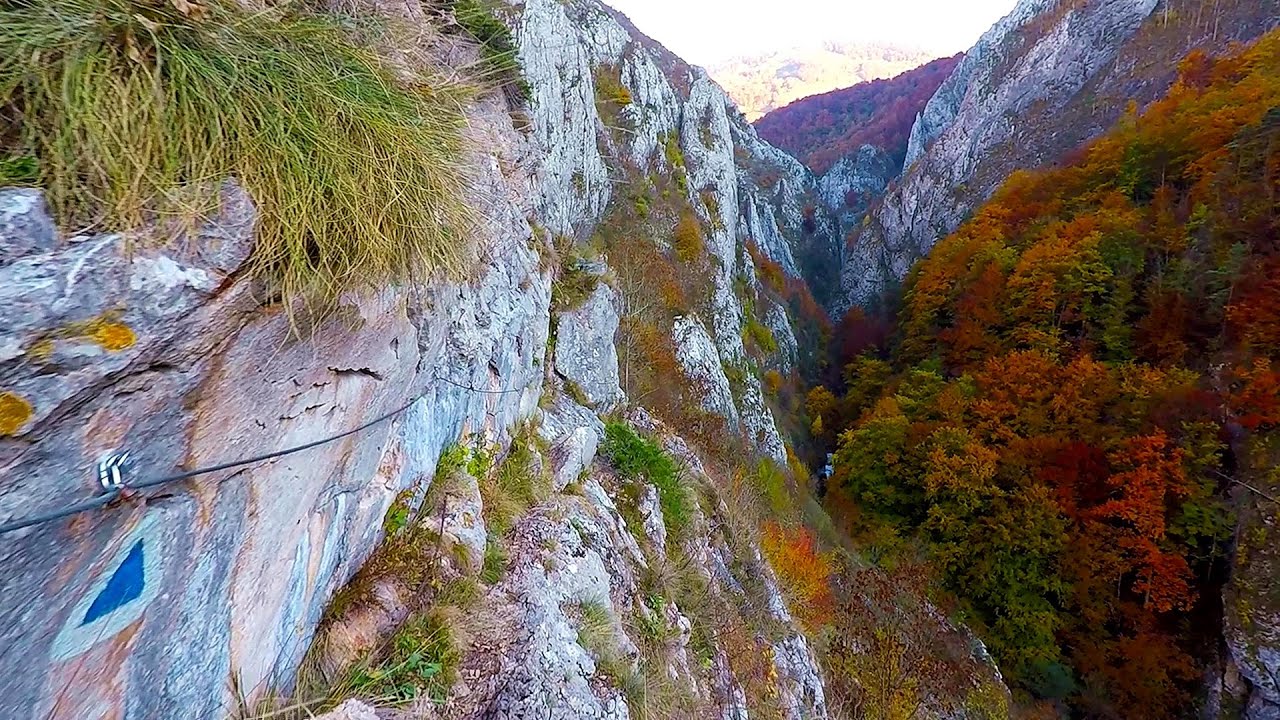
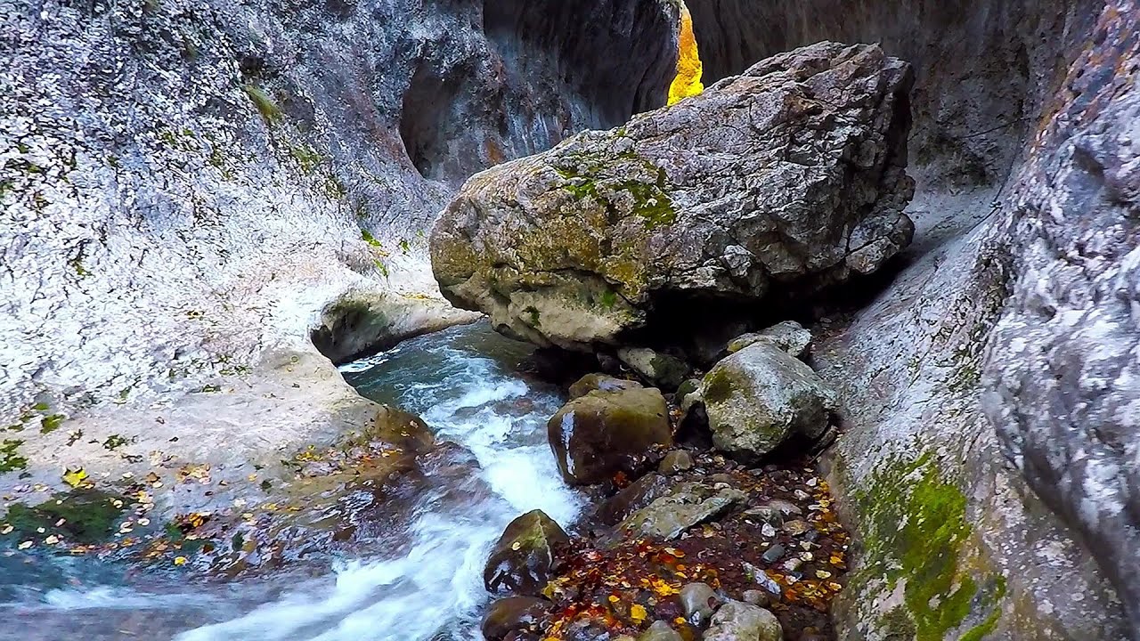
Huda lui Papara cave - Trascau Mountains | Photos


Page no. 1, photos: 1-6, 15 photos in total. >>>

Copyright © 2006 - 2026 Trekkingklub.com. Please register for full and ad-free access.
Airport nearby: Avram Iancu International Airport (CLJ - Cluj-Napoca, Ro), 48 km away.
Photos of nearby places

Dark Blue Bruises of the Ponor - Trascau Mountains (16 photos) 1.2 km away. The Dark Blue Bruises of the Ponor (Vanatarile Ponorului) is a polje-type protected area. Polje is a Slovenian word meaning plain, and it refers to a surface karst form.

Dark Blue Bruises of the Ponor, Bedeleu (24 photos) 1.8 km away. Dark Blue Bruises of the Ponor (Vanatarile Ponorului), Bedeleu - Trascau Mountains.

Balcony Clearing - Trascau Mountains (6 photos) 2.8 km away. Balcony Clearing (Erkély-tisztás, Balconul Sipotelor) - Trascau Mountains.

Aries valley - Trascau Mountains (10 photos) 3.8 km away. Aries (Golden) valley - Trascau Mountains.


Goats Ledge - Trascau Mountains (10 photos) 9.2 km away. Goats Ledge (Brana Caprei, Kecskék párkánya) - Trascau Mountains .


Szekler Stone North - Trascau Mountains (8 photos) 12.1 km away. Szekler Stone North (Piatra Secuilor Nord) - Trascau Mountains.

Szekler Stone - Trascau Mountains (42 photos) 12.1 km away. Szekler Stone (Székely-kő, Piatra Secuilor) - Trascau Mountains.

Stone of Cetea, Horse Pit - Trascau (16 photos) 12.9 km away. Stone of Cetea, Horse Pit (The pit cave from the Stone of Cetea) - Trascau Mountains.

[ Top ↑ ]
Videos of nearby places

Huda lui Papara cave - Salciua de Jos 0 km away. Huda lui Papara cave (Paparas Hole) - Salciua de Jos, Trascau Mountains.
Dalbina waterfall, Dark Blue Bruises of the Ponor 1.1 km away. Dalbina waterfall, Dark Blue Bruises of the Ponor (Vanatarile Ponorului).

Goats Ledge iron path - Ramet Gorge 9.2 km away. Via ferrata Goats Ledge (Brana Caprei) iron path - Ramet Gorge, Trascau Mountains.
Ramet Gorge - Goagiu Creek 9.7 km away. Ramet Gorge (Cheile Rametului) - Goagiu Creek (Paraul Goagiu), Trascau Mountains. The Ramet Gorge is the wildest canyon in the Trascau Mountains.
Other places
Muierii Cave Baia de Fier 134.1 km away. We visited the Baia de Fier area, and climbed on the rock that also conceals the Women's Cave (Pestera Muierilor). Between two via ferrata routes, we also participated in one of the guided cave tours, which depart every hour.
Via ferrata Peja 360 Peja 485.6 km away.
Bicajel Gorge Hasmas Mountains 187 km away. Bicajel Gorge (Cheile Bicajelului) - Hasmas Mountains.
Prohodna cave Karlukovo 359.7 km away. The Prohodna cave nicknamed The Eyes of God is located in Bulgaria, in the Iskar Gorge, on one of the largest karst areas in Bulgaria, 2 km from the town of Karlukovo. It is essentially a 262-meter-long natural stone bridge, with a large (45 m high) and a small (35 m high) entrance.
Oltet Gorge Capatana Mountains 133 km away. Oltet Gorge (Cheile Oltetului) - Capatana Mountains. That day, we had planned to ski at the Ranca resort, situated alongside the Transalpina high altitude mountain road in the Parang Mountains.
Deubels path Piatra Craiului Mountains 164.7 km away. Deubels path - Piatra Craiului Mountains (Kings Rock).
Jacob Hill Lookout Western Mecsek 410.2 km away. Jacob Hill is a popular hiking destination in Western Mecsek, with an elevation of 592 m. At the top, there are the ruins of a Pauline monastery and a lookout tower.
Tapolca lake cave Balaton-felvidéki National Park 462.8 km away. The Tapolca lake cave is situated in the Balaton-felvidéki National Park. A modern visitor center has been constructed at its entrance, featuring ten rooms that highlight the unique characteristics of karst regions.
Falco Tinnunculus via ferrata, the ascent Falcons Rock, Corbu 184.8 km away. Falco Tinnunculus (Common kestrel) via ferrata (E), the ascent - Falcon's Rock, Corbu. Over Corbu village in Harghita County, on the rocks of Falcon's Rock (Piatra Soimilor), which belong to the Bistrita Mountains, five via ferrata routes have been established.
Shipka pass Shipka 429.9 km away. The Shipka Pass is one of the most spectacular crossings of the Balkan Mountains, and is part of the Bulgarka Nature Park. It separates the provinces of Gabrovo and Stara Zagora, and provides a connection between the cities of Gabrovo and Kazanlak.
Womens Spiral via ferrata, climbing fun Baia de Fier 134.1 km away. The Women's Spiral (Spirala Muierilor) via ferrata is set up on the rock that conceals the Women's Cave (Pestera Muierii). It is one of the seven routes near Baia de Fier as of now (2018).
Crivadia Gorge 104 km away. The Crivadia Gorge is located next to the village of Crivadia, which belongs to Banita. Access is difficult, and the hike is made through the streambed, with water up to the waist at its narrowest point.
Falco Peregrinus via ferrata Falcons Rock, Corbu 184.9 km away. Falco Peregrinus (Peregrine falcon) via ferrata (B/C) - Falcon's Rock, Corbu.
The Wooden Ladders The villages of Scarisoara and Inelet, Cerna valley 167.5 km away. Scarisoara and Inelet are small, isolated villages located in the mountainous region of Banat. They are situated on the right bank of the Cerna River, approximately 19 km away from the Baile Herculane resort.
[ Top ↑ ]
Copyright © 2003-2026 Trekkingklub and friends. Reproduction of any text, picture or video from this website, either in printed or electronic form, is prohibited without prior written permission.
The given distances are to be understood as straight line distances, and are approximate. Website made in Miercurea Ciuc  .
.