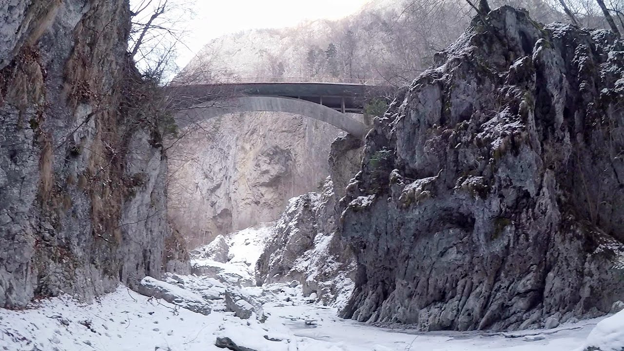
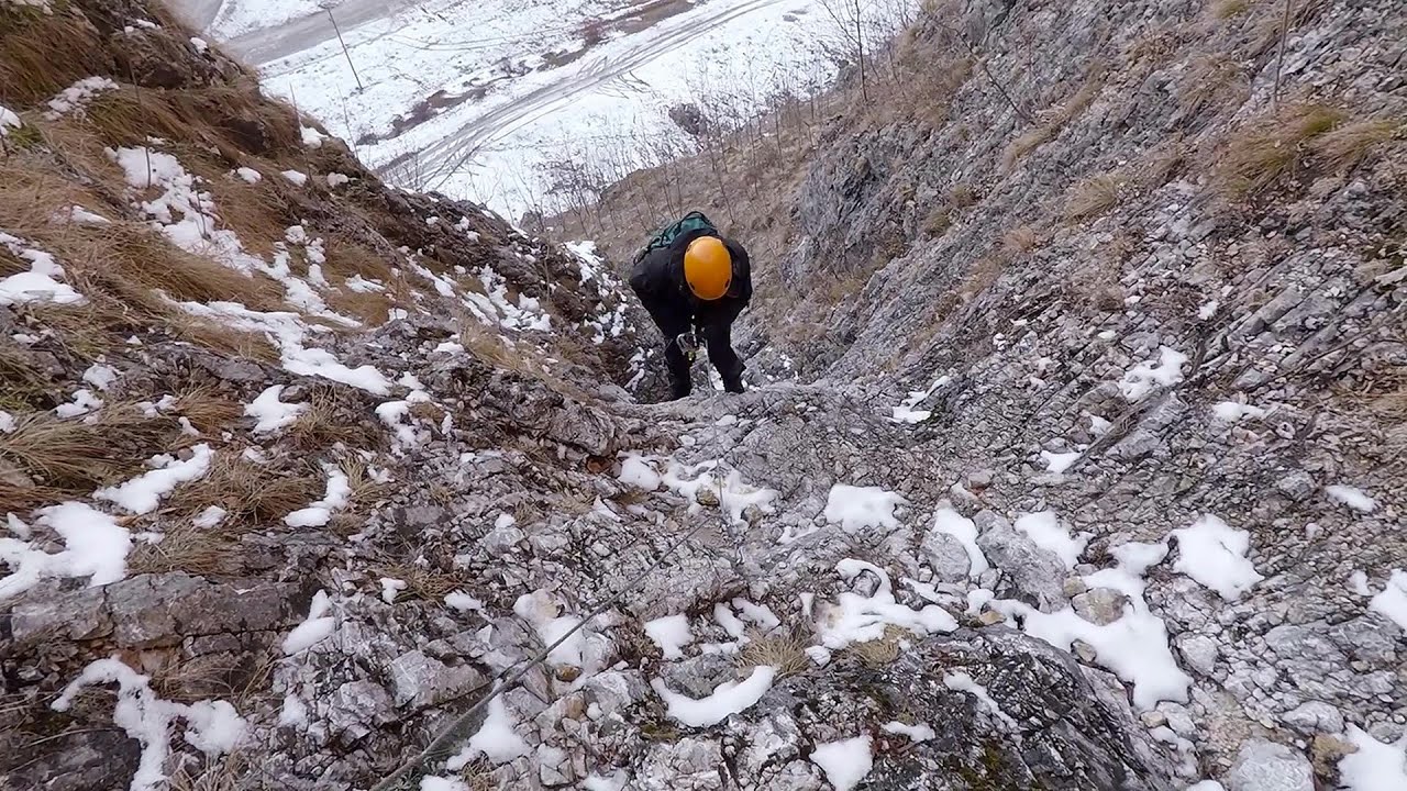
Transalpina Ski Resort - Vidra lake | Video


Filmed with GoPro HERO5 Black. Music: Crystal Echoes by Sergey Cheremisinov. Copyright © 2019 - 2026 Geo Trekker Videos. Please register for full and ad-free access.
Airport nearby: Sibiu International Airport (SBZ - Sibiu, Ro), 51 km away.
Photos of nearby places


Parangul Mare peak (16 photos) 15.5 km away. Chamois saddle (Saua Caprelor), Carja mountain shelter (Refugiul Carja) - Carja peak (Varful Carja) - Stoienita peak (Varful Stoienita) - Gemanarea - Parangul Mare peak.


Womens Cave - Parang Mountains (11 photos) 25.3 km away. The Cave of Women (Pestera Muierii, Pestera Muierilor) is located at the southern foot of the Parang Mountains, in the area of Baia de Fier in Gorj County. There are several climbing routes established on the rocks above the cave and on the other side of the road.

Boli Cave - Banita (20 photos) 30.4 km away. The main cave passage is approximately 460 m long, with an entrance portal that is 10 m high and 20 m wide at its base. In the 1960s, bridges were built over the underground stream flowing through the cave.

Banita Gorge - Banita (16 photos) 31 km away. The approximately 250 m long gorge, similar to the Corcoaia Gorge, is truly spectacular. According to assumptions, it was formed by the collapse of a cave passage ceiling, and then the erosion formed spectacular karst formations in the limestone.

Natural bridge next to the Banita Stone Quarry (12 photos) 34.7 km away. Although the Banita Stone Bridge is not far from the road that passes through the village, it is located beyond the railway line, so its approach is a bit cumbersome. We can go around the railway line on Carierei Street, and then we have to walk a few meters from the stone quarry.

Ledge path of the chamois - Cheii Gorge (40 photos) 36.4 km away. Ledge path of the chamois (Brana Caprelor) - Cheii Gorge (Cheile Cheii).


Doabra Snail Shells - Brezoi (12 photos) 42.6 km away. Doabra Valley - Calinesti-Brezoi forest - Lotru Valley, Cozia National Park

[ Top ↑ ]
Videos of nearby places
Oltet Gorge - Capatana Mountains 24.2 km away. Oltet Gorge (Cheile Oltetului) - Capatana Mountains. That day, we had planned to ski at the Ranca resort, situated alongside the Transalpina high altitude mountain road in the Parang Mountains.
Loreley and Pink Panther iron path - Baia de Fier 25.2 km away. The Loreley via ferrata (graded B/C, with an elevation difference of approximately 100 m and a length of about 100 m) is located on the rock wall on the opposite side of the road. A branch from its upper section leads to the Pink Panther (Pantera Roz, graded A/B/C, approximately 200 meters long, with an elevation difference of about 50 meters).
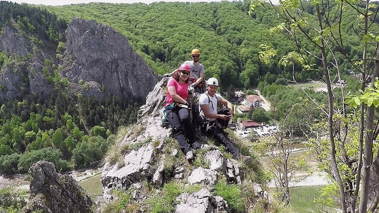
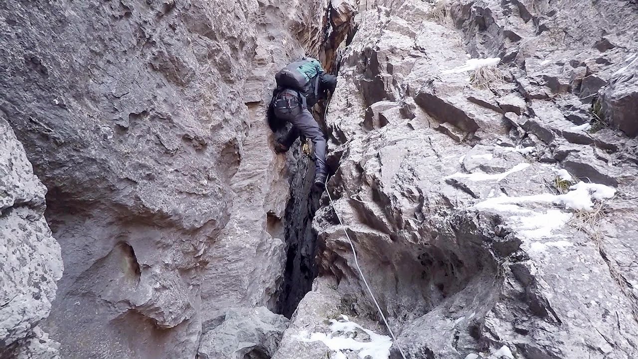
Womens Spiral, Cave Ridge, and The Great Crack iron paths - Baia de Fier 25.3 km away. Perhaps the most interesting via ferrata among the routes in the Baia de Fier area is the Womens Spiral. After completing it, I can say that it is the second most thrilling via ferrata in Romania, following the Big Via Ferrata at Rasnov.
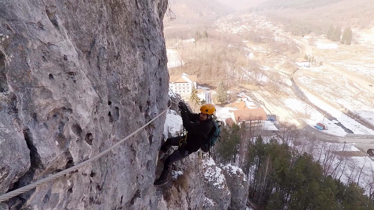
Via Ferrata Pink Panther - Baia de Fier 25.3 km away. In the area of Baia de Fier in Gorj County, several via ferrata routes have been set up on the rock above the Women's Cave (Muierii Cave) and on the other side of the road. At that time (2018), there were a total of seven.
Other places
Acapulcos spur via ferrata 191.3 km away. Acapulco's spur (Pintenul lui Acapulco) via ferrata (B/C) - Montana Land, Suncuius.
Jacob Hill Lookout Western Mecsek 437.9 km away. Jacob Hill is a popular hiking destination in Western Mecsek, with an elevation of 592 m. At the top, there are the ruins of a Pauline monastery and a lookout tower.
Babsko Praskalo waterfall Tazha 320.2 km away. In the Central Balkans National Park, there are many rivers that cascade down spectacular waterfalls, which the locals call praskalo. One of the smallest waterfalls in the area is Babsko Praskalo, which stands at only 54 meters high.
Bovska Skaklya waterfall Iskar gorge 266.5 km away. The Bovska Skaklya waterfall is located near the town of Svoge in Bulgaria. The waterfall formed on the Zaselska River has several reported heights online (120 m, 85 m).
The Heart of Jesus look-out Lupeni 161.8 km away. Through the mud on Gordon Mountain, above Farkaslaka (Lupeni commune, Harghita county, Transilvania), on a cloudy afternoon, at the end of February. The destination is the Heart of Jesus lookout, nicknamed as Pléhkrisztus (The Tin Christ).
Skaklya waterfall Vratsa 248.8 km away. The largest seasonal waterfall in Bulgaria plunges down from a height of 141 meters. It is located in the Vratsa Mountain National Park, just one and a half kilometers away from the city of Vratsa.
Belogradchik fortress 215.4 km away. Belogradchik is located in the northwestern part of Bulgaria, in the Vidin Province, at the foot of the Balkan Mountains, near the Serbian border. Its name means little white town.
Haystack Rock Siculeni, Harghita Mountains 189.2 km away.
Transylvania A3 Highway Viaduct- Suplacu de Barcau 222.1 km away.
Saint Anne lake Ciomat-Puturosu 186.7 km away. Lake Saint Anna is the only well-preserved volcanic crater lake in Eastern Europe. Here are some images from an afternoon outing.
Falco Tinnunculus via ferrata, the ascent Falcons Rock, Corbu 235.1 km away. Falco Tinnunculus (Common kestrel) via ferrata (E), the ascent - Falcon's Rock, Corbu. Over Corbu village in Harghita County, on the rocks of Falcon's Rock (Piatra Soimilor), which belong to the Bistrita Mountains, five via ferrata routes have been established.
Abandoned Sports Hall Varna 417.5 km away. An abandoned sports hall in Varna, with an unfinished dormitory and tennis courts across three levels.
Kaya Bunar Hotnitsa 290.7 km away. The Kaya Bunar Waterfall (Hotnishki Vodopadi, Hotnitsa Waterfall) is located 20 km from the city of Veliko Tarnovo in Bulgaria. The waterfall is 30 meters high, and there are several smaller cascades above it.
Castle panorama route, Zoltán Tálos memorial route, Besiegers route Csesznek 495.8 km away. Castle panorama route (D), Zoltán Tálos memorial route (E), Besieger's route (C), Kőmosó-ravine, Csesznek, Veszprém county, Hungary. The via ferratas in Csesznek are suitable for both getting acquainted with climbing, and assessing our capabilities.
Downstream of the Izvorul Dorului creek Vanturis waterfalls 139.7 km away. Downstream of the Izvorul Dorului (Source of longing) creek - Vanturis waterfalls, Bucegi Mountains.
[ Top ↑ ]
Copyright © 2003-2026 Trekkingklub and friends. Reproduction of any text, picture or video from this website, either in printed or electronic form, is prohibited without prior written permission.
The given distances are to be understood as straight line distances, and are approximate. Website made in Miercurea Ciuc  .
.