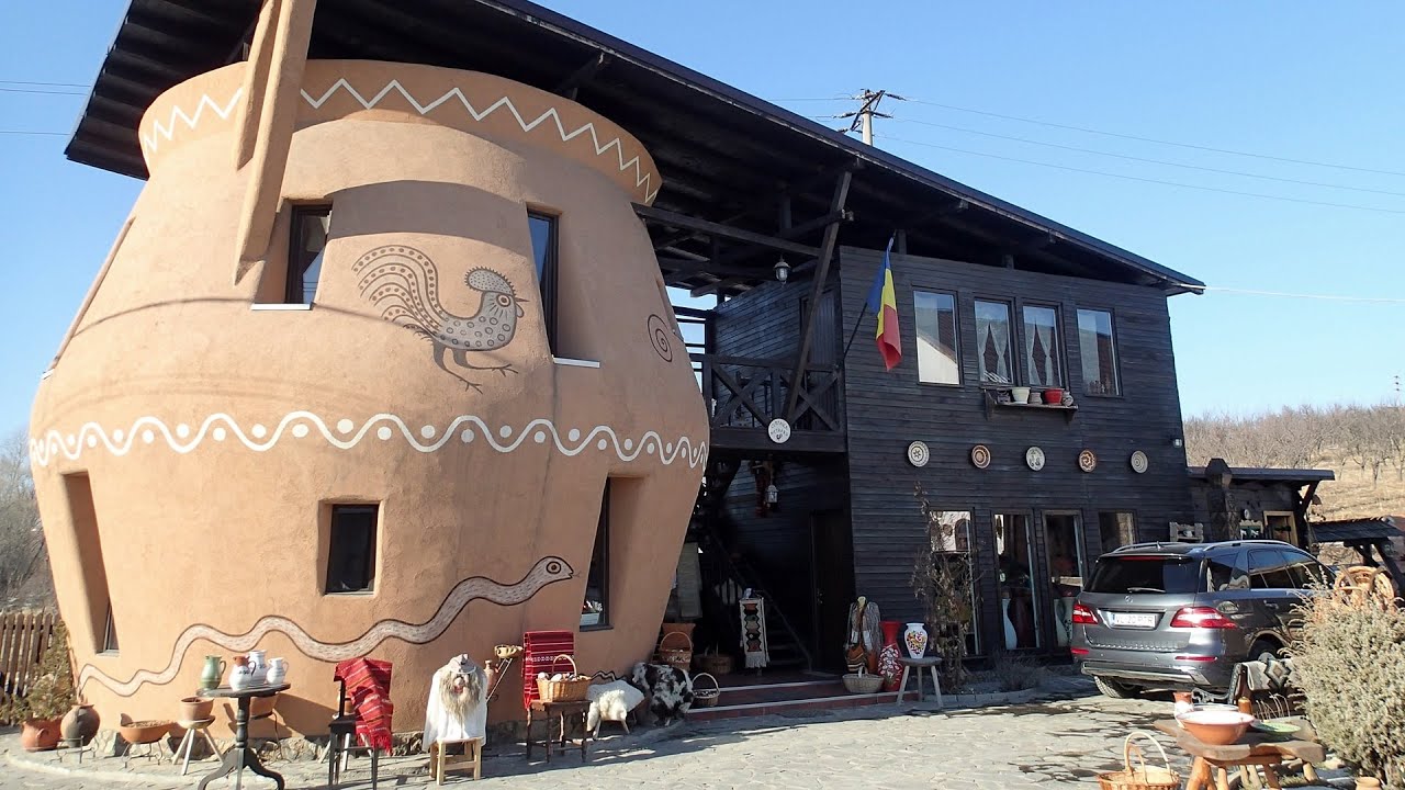
Tourist attractions near Hanasesti (Garda de Sus, Alba county, Romania)
Photos of nearby places


Valley of Hell - Padurea Craiului Mountains (23 photos) 41.5 km away. Valley of Hell (Valea Iadului) - Padurea Craiului Mountains.

Kings Cave - Padurea Craiului Mountains (48 photos) 47.4 km away. Craiului (Kings) Cave - Padurea Craiului Mountains.

Fern Cave - Padurea Craiului Mountains (9 photos) 47.5 km away. Ferigi (Fern) Cave - Padurea Craiului Mountains.

Oxen Waterfall - Padurea Craiului Mountains (12 photos) 49.4 km away. Oxen Waterfall (Cascada Boilor) - Padurea Craiului Mountains.

Balcony Clearing - Trascau Mountains (6 photos) 49.8 km away. Balcony Clearing (Erkély-tisztás, Balconul Sipotelor) - Trascau Mountains.

Dark Blue Bruises of the Ponor, Bedeleu (24 photos) 50 km away. Dark Blue Bruises of the Ponor (Vanatarile Ponorului), Bedeleu - Trascau Mountains.

Dark Blue Bruises of the Ponor - Trascau Mountains (16 photos) 50.1 km away. The Dark Blue Bruises of the Ponor (Vanatarile Ponorului) is a polje-type protected area. Polje is a Slovenian word meaning plain, and it refers to a surface karst form.

Aries valley - Trascau Mountains (10 photos) 50.3 km away. Aries (Golden) valley - Trascau Mountains.

Sohodol pit cave - Padurea Craiului Mountains (10 photos) 51.5 km away. Sohodol pit cave (Avenul Sohodol) - Padurea Craiului Mountains.

Moanei Cave - Padurea Craiului Mountains (58 photos) 51.5 km away. The Moanei Cave (Pestera Moanei) is located on the upper course of the Misid River, on the right side of the Misid Gorge (Cheilor Misidului). The cave has two entrances, one fossil and sloped, while a subterranean stream flows through the active gallery.

Goats Ledge - Trascau Mountains (10 photos) 52.8 km away. Goats Ledge (Brana Caprei, Kecskék párkánya) - Trascau Mountains .

Napistileu cave - Padurea Craiului (10 photos) 54.5 km away. Napistileu (Ungurul Mic) cave - Padurea Craiului Mountains.

The cave from the spring - Padurea Craiului Mountains (8 photos) 54.5 km away. Pestera de la Izvor (The cave from the spring) - Padurea Craiului Mountains.


Cave of Winds - Padurea Craiului Mountains (24 photos) 55 km away. The Cave of Winds (Pestera Vantului) is located in the Padurea Craiului Mountains, not far from Frantura meadow, near Suncuius, on the left geographical side of the Crisul Repede River. The Cave of Winds was discovered in 1957 by Béla Bagaméri and is currently (as of 2003) the longest cave system known in Romania as well as in the Carpathian Basin.

Stone of Cetea, Horse Pit - Trascau (16 photos) 56.1 km away. Stone of Cetea, Horse Pit (The pit cave from the Stone of Cetea) - Trascau Mountains.
[ Top ↑ ]
Videos of nearby places

Pisoaia waterfall - Vidra 14.2 km away. Pisoaia waterfall (Pisoaia Vidrii, Urine of the otter) - Nemesi, Vidra.

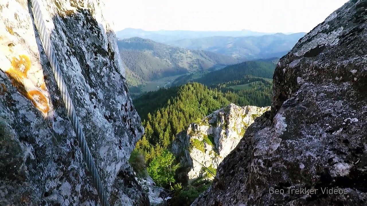
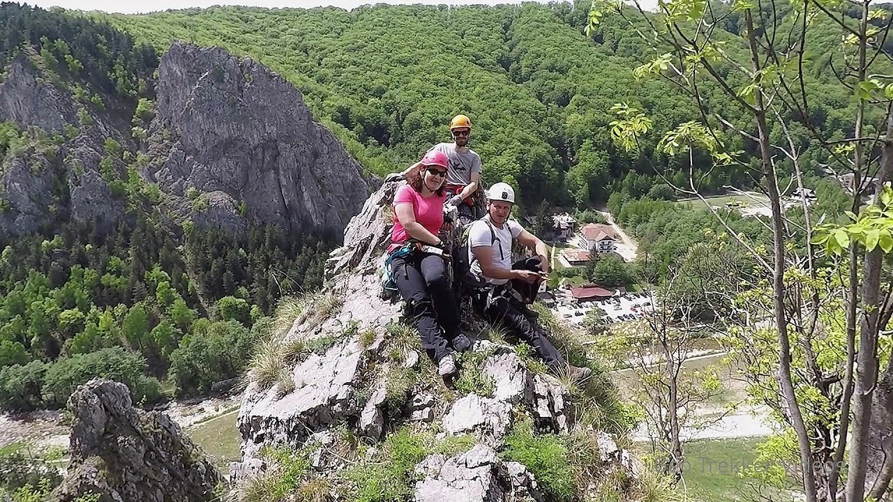
Black Rocks iron path - Bihor Mountains 15.4 km away. Black Rocks is located in the Bihor Mountains, near the Vartop Saddle, to the west of it. It is interesting that the locals (if I understood correctly) do not know this name, but use the name Piatra Buna (meaning Good Stone) for this spectacular rock.

Meziad cave - Padurea Craiului Mountains 40.9 km away. The Meziad Cave is located near the village of Meziad, 22 km north of Beius, in the Padurea Craiului Mountains. It is one of our first tourist caves, its exploration is associated with the name of Gyula Czárán, cave researcher and writer.


Crystal Cave at Farcu Mine 48.2 km away. In the Padurea Craiului Mountains, near Rosia, in the Farcu bauxite mine, in 1987, the miners accidentally discovered a cave. It was filled with crystal-shaped limestone formations.
Other places
Falco Peregrinus 2 via ferrata Falcons Rock, Corbu 226.9 km away. Falco Peregrinus (Peregrine falcon) 2 via ferrata (D) - Falcon's Rock, Corbu.
The Stone Path Nochevo Kamennata pateka (The Stone Path) - Nochevo.
Via Ferrata Pink Panther Baia de Fier 160.6 km away. In the area of Baia de Fier in Gorj County, several via ferrata routes have been set up on the rock above the Women's Cave (Muierii Cave) and on the other side of the road. At that time (2018), there were a total of seven.
Castle panorama route, Zoltán Tálos memorial route, Besiegers route Csesznek 387.9 km away. Castle panorama route (D), Zoltán Tálos memorial route (E), Besieger's route (C), Kőmosó-ravine, Csesznek, Veszprém county, Hungary. The via ferratas in Csesznek are suitable for both getting acquainted with climbing, and assessing our capabilities.
Searching for rhododendrons Ciucas Boulevard 266.4 km away. Red Mountain (Muntele Rosu), Gropsoarele-Zaganu ridge - Ciucas Mountains
Seven Ladder Canyon in Winter Piatra Mare Mountain 240.1 km away. Seven Ladder Canyon and Waterfall in Winter - Piatra Mare Mountain
Middle Belt via ferrata route Baia de Fier 160.7 km away. Middle Belt (Spirala Medie) via ferrata route - Baia de Fier. In May 2018, two new via ferrata routes were inaugurated in Baia de Fier.
Sugau Rock lookout point and iron path 233.6 km away. Sugau Rock lookout point and iron path (B/C). Sugau Gorges - Munticelu Nature Reserve, Hasmas Mountains.
[ Top ↑ ]
Copyright © 2003-2026 Trekkingklub and friends. Reproduction of any text, picture or video from this website, either in printed or electronic form, is prohibited without prior written permission. Website made with love  in Miercurea Ciuc.