Tourist attractions near Betfia (Sanmartin, Bihor county, Romania)
Photos of nearby places


Sohodol pit cave - Padurea Craiului Mountains (10 photos) 35 km away. Sohodol pit cave (Avenul Sohodol) - Padurea Craiului Mountains.


Kings Cave - Padurea Craiului Mountains (48 photos) 37.8 km away. Craiului (Kings) Cave - Padurea Craiului Mountains.


Fern Cave - Padurea Craiului Mountains (9 photos) 39.1 km away. Ferigi (Fern) Cave - Padurea Craiului Mountains.

Moanei Cave - Padurea Craiului Mountains (58 photos) 39.7 km away. The Moanei Cave (Pestera Moanei) is located on the upper course of the Misid River, on the right side of the Misid Gorge (Cheilor Misidului). The cave has two entrances, one fossil and sloped, while a subterranean stream flows through the active gallery.

Cave of Winds - Padurea Craiului Mountains (24 photos) 40.2 km away. The Cave of Winds (Pestera Vantului) is located in the Padurea Craiului Mountains, not far from Frantura meadow, near Suncuius, on the left geographical side of the Crisul Repede River. The Cave of Winds was discovered in 1957 by Béla Bagaméri and is currently (as of 2003) the longest cave system known in Romania as well as in the Carpathian Basin.
[ Top ↑ ]
Videos of nearby places

Crystal Cave at Farcu Mine 35.6 km away. In the Padurea Craiului Mountains, near Rosia, in the Farcu bauxite mine, in 1987, the miners accidentally discovered a cave. It was filled with crystal-shaped limestone formations.

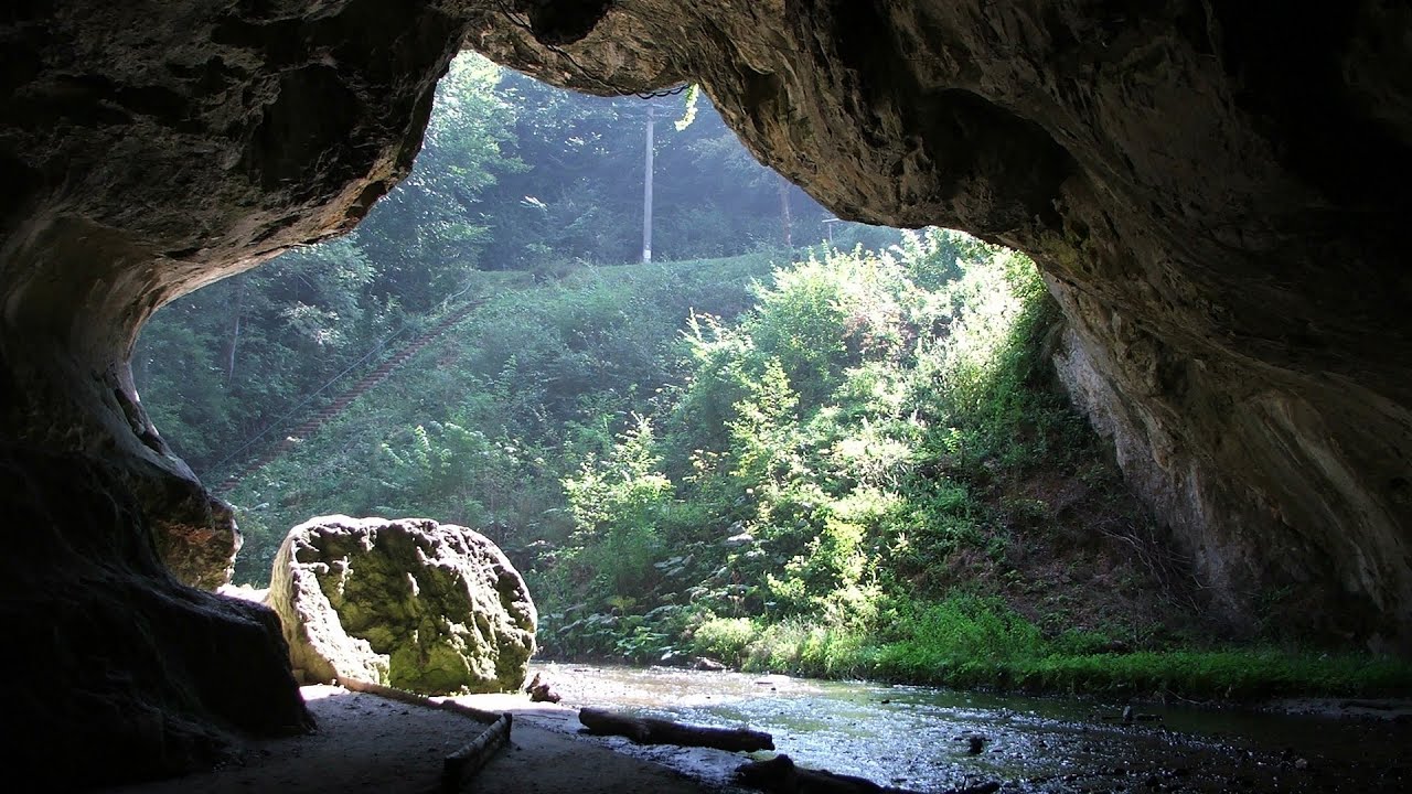
Vadu Crisului cave 37.5 km away. The Vadu Crisului Cave, with a total length of over 1000 meters, is located in the picturesque gorge of Crisul Repede creek. It consists of a gently meandering, long passage that features an active, stream level next to an upper, fossil level in its first section.

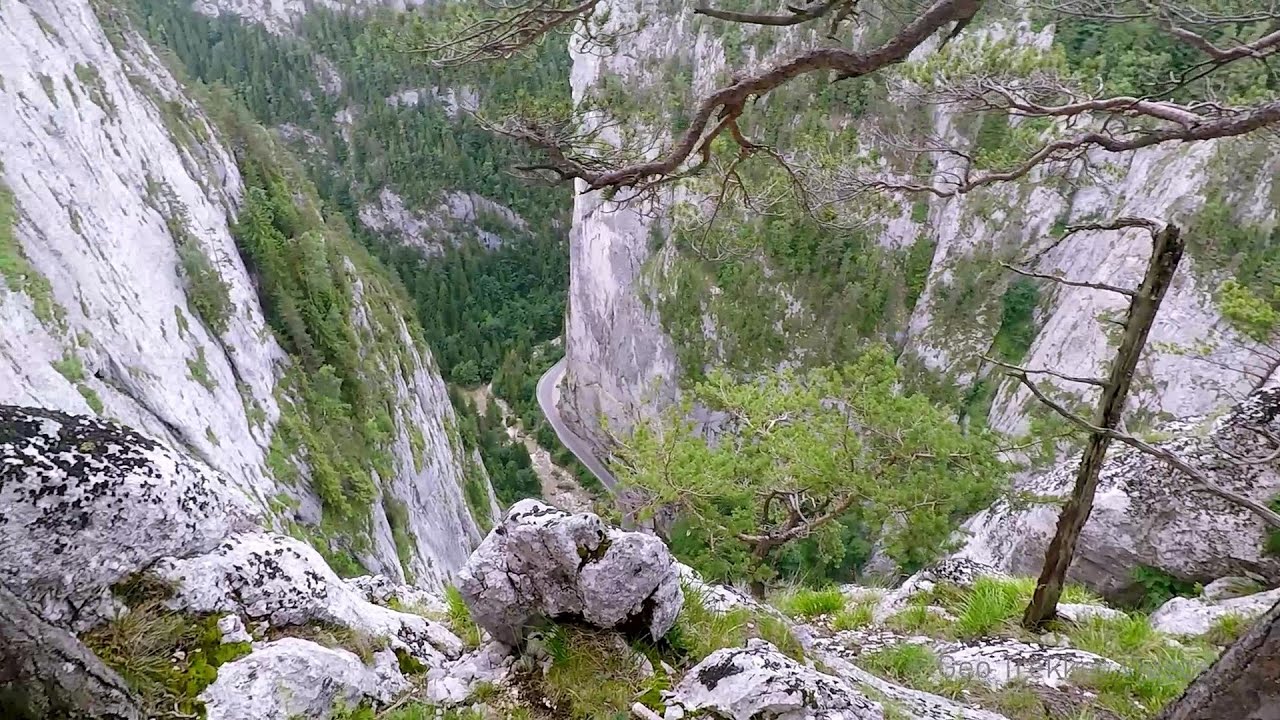
Via Ferrata Fairy Castle - Vadu Crisului 37.7 km away. Via Ferrata Fairy Castle (Castelul Zanelor, Casa Zmeului, The House of the Dragon) - Vadu Crisului. South of Vadu Crisului, in the Padurea Craiului Mountains, lies the Vadu Crisului Gorge, a section of the Crisul Repede river that narrows between rocky walls.

Fairy Cliff via ferrata route - Vadu Crisului 37.8 km away. Fairy Cliff (Peretele Zanelor) via ferrata route - Vadu Crisului. In Vadu Crisului, in the Padurea Craiului Mountains, on the right bank of the Crisul Repede, you can find the newest, in chronological order (2015) the fifth Transylvanian, new type of via ferrata route.

Other places

SkiGyimes ski slope Lunca de Sus 304.3 km away. It is well-known that in Rimetea, due to the Piatra Secuiului (Szekler's Rock) mountain, the Sun rises twice. However, perhaps few know that in Lunca de Sus, the Sun sets three times.
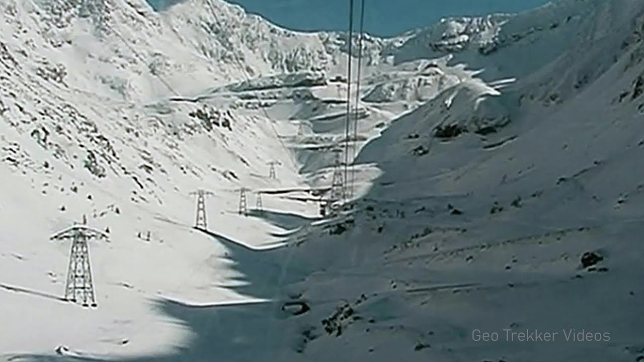
Snow-covered valley of Balea and the Transfagarasan in winter The ascent 248.4 km away. The Fagarasi Mountains can be easily approached from the north, mainly by using the Transfagarasan Road. This high altitude mountain road is only accessible during the summer months (throughout its entire length).

Belogradchik fortress 376.3 km away. Belogradchik is located in the northwestern part of Bulgaria, in the Vidin Province, at the foot of the Balkan Mountains, near the Serbian border. Its name means little white town.
White Drin waterfall 490.1 km away. Drini i Bardhe (White Drin) waterfall.
Bicajel Gorge, Bicajel Waterfall, Stone of the Gorge 290.2 km away. Bicajel Gorge (Cheile Bicajelului), Bicajel Waterfall (Cascada Bicajel), Stone of the Gorge (Surduc Stone, Piatra Surducului) - Hasmas Mountains.
Sleeping Beauty cave 490.2 km away. Shpella e Radacit (Sleeping Beauty) cave.
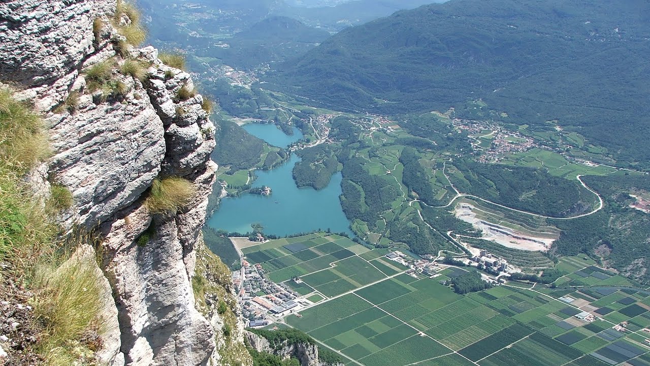
Via ferrata Ernesto Che Guevara al Monte Casale, Monti del Garda, Trentino Alto Adige The Che Guevara via ferrata is the longest iron climbing route I have ever climbed. There is a 1400 m level difference from the starting point to the peak of Monte Casale.

Vulva cave Rhodope Mountains The Vulva Cave (Peshtera Utroba) is situated near the village of Nenkovo and the city of Kardzhali, in the Rhodope Mountains of Bulgaria. It derives its name from the shape of its entrance, which resembles a vulva.
Boli Cave Banita 196.7 km away. The Boli Cave is located 6 km north of Petrosani, on the road that connects Hateg with the Jiu Valley. Here, the railway line that connects the two parts of Hunedoara County passes through, featuring a total of 66 curves and 8 tunnels.
[ Top ↑ ]
Copyright © 2003-2026 Trekkingklub and friends. Reproduction of any text, picture or video from this website, either in printed or electronic form, is prohibited without prior written permission. Website made with love  in Miercurea Ciuc.