Boli Cave - Banita | Video


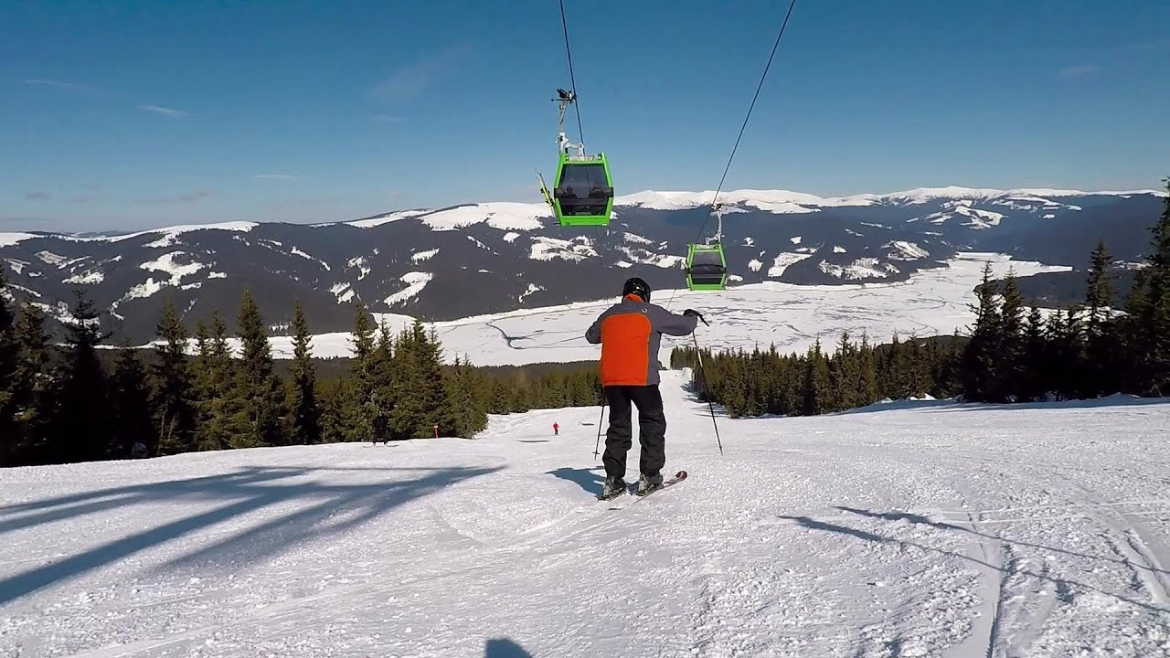
The Boli Cave is located 6 km north of Petrosani, on the road that connects Hateg with the Jiu Valley. Here, the railway line that connects the two parts of Hunedoara County passes through, featuring a total of 66 curves and 8 tunnels.
Read more
Filmed with SJCAM SJ5000 Plus. Music: Nights Tale by Dexter Britain. Copyright © 2015 - 2026 Geo Trekker Videos. Please register for full and ad-free access.
Airport nearby: Sibiu International Airport (SBZ - Sibiu, Ro), 70 km away.
Photos of nearby places

Boli Cave - Banita (20 photos) 0 km away. The main cave passage is approximately 460 m long, with an entrance portal that is 10 m high and 20 m wide at its base. In the 1960s, bridges were built over the underground stream flowing through the cave.

Banita Gorge - Banita (16 photos) 0.7 km away. The approximately 250 m long gorge, similar to the Corcoaia Gorge, is truly spectacular. According to assumptions, it was formed by the collapse of a cave passage ceiling, and then the erosion formed spectacular karst formations in the limestone.

Natural bridge next to the Banita Stone Quarry (12 photos) 4.5 km away. Although the Banita Stone Bridge is not far from the road that passes through the village, it is located beyond the railway line, so its approach is a bit cumbersome. We can go around the railway line on Carierei Street, and then we have to walk a few meters from the stone quarry.


Parangul Mare peak (16 photos) 21.3 km away. Chamois saddle (Saua Caprelor), Carja mountain shelter (Refugiul Carja) - Carja peak (Varful Carja) - Stoienita peak (Varful Stoienita) - Gemanarea - Parangul Mare peak.


Womens Cave - Parang Mountains (11 photos) 44.7 km away. The Cave of Women (Pestera Muierii, Pestera Muierilor) is located at the southern foot of the Parang Mountains, in the area of Baia de Fier in Gorj County. There are several climbing routes established on the rocks above the cave and on the other side of the road.
[ Top ↑ ]
Videos of nearby places

Banita Gorge and Banita rock bridge 0.7 km away. They say about this place that only very few people know about it, but that's not true. In fact, most nature lovers have heard of it, seen pictures taken here, even if not everyone has been able to come here.

Crivadia Gorge 8.6 km away. The Crivadia Gorge is located next to the village of Crivadia, which belongs to Banita. Access is difficult, and the hike is made through the streambed, with water up to the waist at its narrowest point.

The palm of God and the Heavens door - Fundatura Ponorului mountain village 15.8 km away. One of the most picturesque places in Romania, one of the most beautiful mountain villages, and a photographer's paradise. Fundatura Ponorului is located in the Ponor Stream Valley, part of the Gradistea Muncelului - Cioclovina National Park, in the Sureanu Mountains.

Sheepdogs - Govora sheepfold - Retezat mountains 26.8 km away. On the second day of my weekend Retezat hike, I visited a sheepfold on the Lancita Ridge. To my great disappointment, they didn't make cheese or curd here.
Other places
Bovska Skaklya waterfall Iskar gorge 268.9 km away. The Bovska Skaklya waterfall is located near the town of Svoge in Bulgaria. The waterfall formed on the Zaselska River has several reported heights online (120 m, 85 m).
Rudariei watermills Eftimie Murgu 115.6 km away. I have visited the twenty-two wooden water mills with horizontal wheels, located in the valley of the Rudaria stream, mostly in the rain and under an umbrella. Some of them are still in use today.
Via ferrata Shpellat Peja 395.5 km away.
Krushuna waterfalls Krushuna 281 km away. The Krushuna Waterfalls are a series of karst cascades formed in travertine. They are located near the village of Krushuna, not far from the town of Lovech, and are Bulgaria's largest waterfall of this type.
Via Ferrata Fairy Castle Vadu Crisului 179.8 km away. Via Ferrata Fairy Castle (Castelul Zanelor, Casa Zmeului, The House of the Dragon) - Vadu Crisului. South of Vadu Crisului, in the Padurea Craiului Mountains, lies the Vadu Crisului Gorge, a section of the Crisul Repede river that narrows between rocky walls.
Great Canyon cave Peja 397.7 km away. Gryka e Madhe (Great Canyon) cave - Peja.
Wild Ferenc iron path Suhardul Mic 242.3 km away. While I climbed the new iron path mostly in the dark for the first time, this time I managed to explore it during the day. But I still missed the sunset by a few minutes.
Abandoned Sports Hall Varna 444.9 km away. An abandoned sports hall in Varna, with an unfinished dormitory and tennis courts across three levels.
Suspension bridge Aries river, Salciua de Sus 105.7 km away.
Bicajel Gorge, Bicajel Waterfall, Stone of the Gorge 245.5 km away. Bicajel Gorge (Cheile Bicajelului), Bicajel Waterfall (Cascada Bicajel), Stone of the Gorge (Surduc Stone, Piatra Surducului) - Hasmas Mountains.
With snowshoes in the Tihu creek valley Rastolita 228.8 km away. We met geotrekking treasure hunters from Gheorgheni, Miercurea Ciuc and Targu Mures in Rastolita. We entered the Calimani Mountains with an off-road vehicle, along the Rastolita and Tihu streams.
Canyon of Waterfalls Smolyan 443 km away. The eco-trail known as the Canyon of Waterfalls is located in Bulgaria, within the Rhodope Mountains and the Soskovcheto Nature Reserve. It begins at the edge of the Sredoka suburb of the city of Smolyan.
Abandoned copper mine Tsar Asen, Pazardzhik 353.8 km away. The turquoise waters of this mine lake are extremely beautiful but dangerously poisonous. Do not descend to the shore or touch the water!
Natural stone bridge Aglen 263.2 km away. Natural stone arch on the Vit river, near the village of Aglen. Crocodile shaped rock, Elephant rock.
Other destinations
Gornjak via ferrata and Kudelinovs fortress Zdrelo 192.7 km away. Difficulty level C/D, total length: 400 m, height difference: 330 m, year of construction: 2019, total length of the route to Kudelinov's fortress: 1100 m. Access to the via ferrata is free.
[ Top ↑ ]
Copyright © 2003-2026 Trekkingklub and friends. Reproduction of any text, picture or video from this website, either in printed or electronic form, is prohibited without prior written permission.
The given distances are to be understood as straight line distances, and are approximate. Website made in Miercurea Ciuc  .
.