Canyon of Waterfalls - Smolyan | Video


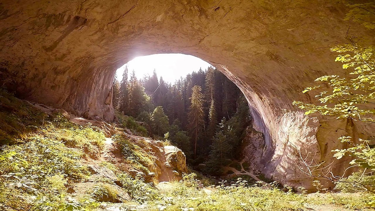
The eco-trail known as the Canyon of Waterfalls is located in Bulgaria, within the Rhodope Mountains and the Soskovcheto Nature Reserve. It begins at the edge of the Sredoka suburb of the city of Smolyan. The trail is nearly 10 km long, consisting of two larger loops, and can be explored in approximately 3 to 4 hours.
Read more
Filmed with GoPro HERO5 Black. Music: Shinedown by Kai Engel. Copyright © 2017 - 2026 Geo Trekker Videos. Please register for full and ad-free access.
Airport nearby: Plovdiv International Airport (PDV - Plovdiv, Bg), 57 km away.
Photos of nearby places

Canyon of Waterfalls eco-trail - Smolyan (8 photos) 0 km away. The Soskovcheto Reserve was established in 1968 and covers an area of 177 hectares. It is situated in the Perelishko-Prespanski region of the Rhodope Mountains.


The Stone Wedding - Zimzelen (12 photos) 64.2 km away. The Stone Wedding (Kamenna_Svatba) - Zimzelen.


Castle of Ravadinovo (79 photos) 266.6 km away. The Castle of Ravadinovo (In love with the wind), situated near Sozopol in Bulgaria, is a enchanting structure that delights visitors with its fairytale-like appearance and distinctive charm. Also known as In Love with the Wind, this castle is the visionary project of architect Georgi Kostadinov Tumpalov, who dedicated himself to its design and construction from 1996 onward, transforming his dream into reality through perseverance and community support.

Wonderful Rocks - Asparuhovo (24 photos) 267.4 km away. The Wonderful Rocks (Chudnite skali), a very beautiful and impressive rock formation, are located on the right bank of the Luda Kamchiya River, on the shores of the Tsonevo Reservoir and near the village of Asparuhovo. They have the shapes of pointed, tall cones and pyramids.

Drivers beach between Duni and Arkutino (6 photos) 268.9 km away. Drivers or Chauffeurs Beach, also known as Alepu Beach or Dunes, is one of the most renowned and scenic wild beaches along the South Black Sea coast. Located between Duni Resort to the north and Cape Humata to the south, the beach stretches nearly 3 kilometers in length and reaches a width of up to 70 meters.

Seagulls beach and the Marina Port Sozopol harbour (2 photos) 269.1 km away. Marina Port Sozopol offers everything an experienced sailor could wish for. The port has 243 berths for boats up to 25 meters long, equipped with electricity and drinking water.

Thracian Fortress Ranuli, Lions Head Rock (40 photos) 269.1 km away. Thracian Fortress Ranuli (Valchan's fortress) and the Lion's Head Rock. On Copper Ridge (Meden Rid), overlooking the Ropotamo River, the Thracian miner tribe Skirmiani constructed a fortress.

Abandoned building Perla 2 - Primorsko (24 photos) 269.4 km away. The abandoned building Perla 2 is located north of Primorsko, in the Stomoplo Bay area, nestled in a forest. The construction of the luxury complex Pearl-2 began in 1986, but the site was abandoned in the spring of 1990, and it became home to bats.
[ Top ↑ ]
Videos of nearby places
Neviastata ecopath and iron path - Smolyan 5 km away. The Neviastata eco-trail is located in Bulgaria, nestled in the heart of the Rhodope Mountains, between Smolyan and Pamporovo. Here, you will find a small, paid adventure park.
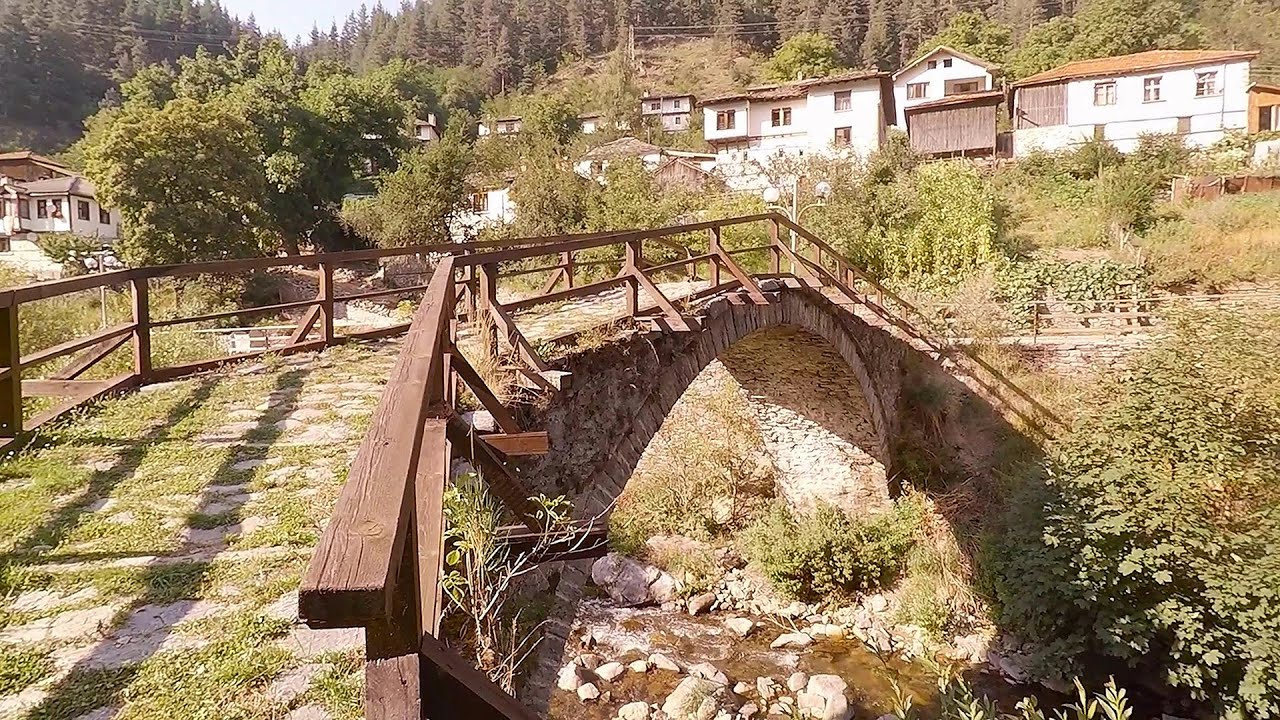
Shiroka Laka village - Smolyan 11.1 km away. Shiroka Laka is one of the most beautiful villages in Bulgaria. It is located in the Rhodope Mountains, in the Smolyan province, in the southern part of the country.
Eagles Eye - Yagodina 25.3 km away. Orlovo Oko (Eagle's Eye) is a lookout viewpoint located in the Rhodope Mountains, near the peak of Saint Ilia and close to the village of Yagodina, Bulgaria. The steel structure, built at an altitude of 1,563 meters, rises 670 meters above the spectacular Buynovsko Gorge, along with the winding river and road that traverse it.
Amazing Bridges - Zabardo 26.5 km away. The Amazing Bridges (Chudni Mostove, Wonderful Bridges) are natural stone bridges. They are located in the Rhodope Mountains, in the Smolyan Province of Bulgaria, within the valley of the Erkyupriya River, at an altitude of 1,450 meters above sea level.

Devils Bridge - Ardino 40.2 km away. The Devil's Bridge (Dyavolski Most, in Turkish Sheytan Kyupriya) is located in the gorge of the Arda River, just north of the town of Ardino in Bulgaria. It was constructed in the early 16th century, between 1515 and 1518, by an architect named Dimitar, on the remains of an earlier Roman bridge.
Other places
Via ferrata Marimangat Peja 383 km away.
Via ferrata Ari Peja 381.5 km away.
Blasted Rock hanging path Cerna Valley 417.4 km away. The Blasted Rock (Piatra Puscata) hanging path is located on the geographical right bank of the Cerna River, near the confluence of the Iuta stream, approximately 20 km from Baile Herculane. In this area, the presence of limestone formations has caused the valley to become narrower.
Lipovac via ferrata and monastery of Saint Stephen 317.5 km away. Difficulty level B, total length: 190 m, height difference: 90 m, year of construction: 2022. It is necessary to contact the PSK Brđanka club to obtain the key for the ladders at the entrance of the via ferrata.
Winds iron path Baia de Fier 407.3 km away. The Wind's iron path (Via ferrata Vanturilor, D) is the via ferrata route number 11 in the Baia de Fier - Polovragi area. The sign at the base of the route was installed on February 9, 2020.
Downstream of the Izvorul Dorului creek Vanturis waterfalls 423.4 km away. Downstream of the Izvorul Dorului (Source of longing) creek - Vanturis waterfalls, Bucegi Mountains.
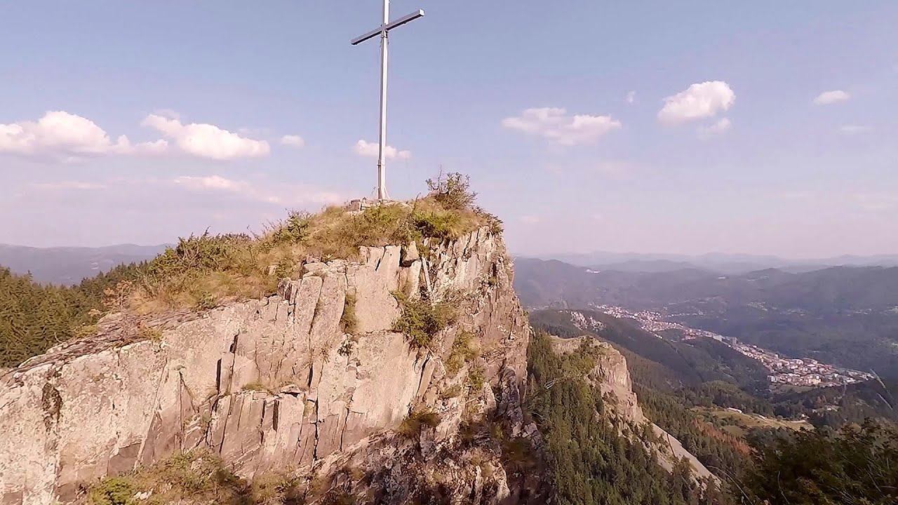
Buzludzha monument Kazanluk 142.5 km away. Buzludzha is a historically significant mountain located in the Central Balkan Mountains of Bulgaria. At its summit, at an altitude of 1432 meters above sea level, there is an abandoned monument.
Rudariei watermills Eftimie Murgu 418.7 km away. I have visited the twenty-two wooden water mills with horizontal wheels, located in the valley of the Rudaria stream, mostly in the rain and under an umbrella. Some of them are still in use today.
Seven Ladder Canyon and Waterfall Piatra Mare Mountain 450.2 km away. The Seven Ladder Gorge is the largest and most spectacular gorge in the Piatra Mare massif. The narrow canyon has a length of 160 meters, and over a drop of 58 meters includes 7 bigger and several smaller waterfalls.
Arched stone bridge Rugova Canyon 384.8 km away. Arched stone bridge - Rugova Canyon (Gryka e Rugoves).
The palm of God and the Heavens door Fundatura Ponorului mountain village 456.4 km away. One of the most picturesque places in Romania, one of the most beautiful mountain villages, and a photographer's paradise. Fundatura Ponorului is located in the Ponor Stream Valley, part of the Gradistea Muncelului - Cioclovina National Park, in the Sureanu Mountains.
Crivadia Gorge 446.1 km away. The Crivadia Gorge is located next to the village of Crivadia, which belongs to Banita. Access is difficult, and the hike is made through the streambed, with water up to the waist at its narrowest point.
Boli Cave Banita 443 km away. The Boli Cave is located 6 km north of Petrosani, on the road that connects Hateg with the Jiu Valley. Here, the railway line that connects the two parts of Hunedoara County passes through, featuring a total of 66 curves and 8 tunnels.
Zip-line near Seven Ladder Canyon Piatra Mare Mountain 451.4 km away.
The Cave of Thieves Apata 494.6 km away. The Cave of Thieves (Pestera Hotilor, Tolvajos), located in the Olt Gorge at Racos, is situated at the source of the Tepeu creek. From the karst spring that emerges from the cave, one of the branches of the creek originates.
Other destinations
Belintash Ridge of Dobrostan, Rhodope Mountains 40.3 km away. Belintash is a mysterious monolithic complex located approximately 50 km from Plovdiv, passing through the scenic Rhodope Mountains. It is situated southeast of the village of Vrata and west of the village of Sini Vruh.
Roman bridge Nenkovo 51.5 km away. Along the Borovitsa River, near the village of Nenkovo, there is a Roman Bridge. It connects the two banks of the Borovitsa River.
Parmak Kaya Nochevo, Panichkovo 54.5 km away. Between the villages of Nochevo and Panichkovo in Chernoochene Municipality, Kardzhali Province, lies Parmak Kaya (Finger Rock). The site features ancient carvings and rock formations within an old pine forest.
The Stone Path Nochevo 57.2 km away. Kamennata pateka (The Stone Path) - Nochevo.
[ Top ↑ ]
Copyright © 2003-2026 Trekkingklub and friends. Reproduction of any text, picture or video from this website, either in printed or electronic form, is prohibited without prior written permission.
The given distances are to be understood as straight line distances, and are approximate. Website made in Miercurea Ciuc  .
.