Tourist attractions near Bran (Bran, Brasov county, Romania)
Photos of nearby places


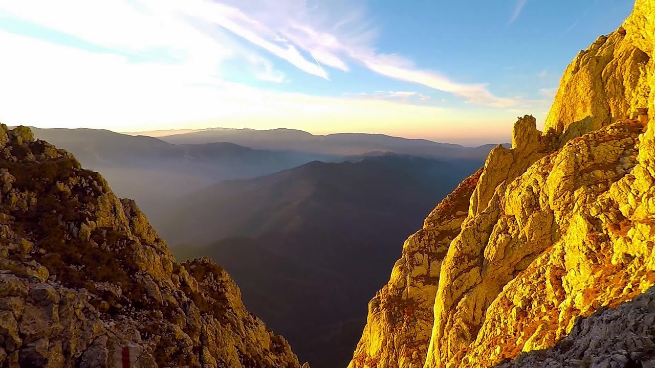
Zarnesti precipice - Piatra Craiului Mountains (16 photos) 7.4 km away. Zarnesti precipice (Prapastiile Zarnestilor) - Piatra Craiului Mountains (King Rock).

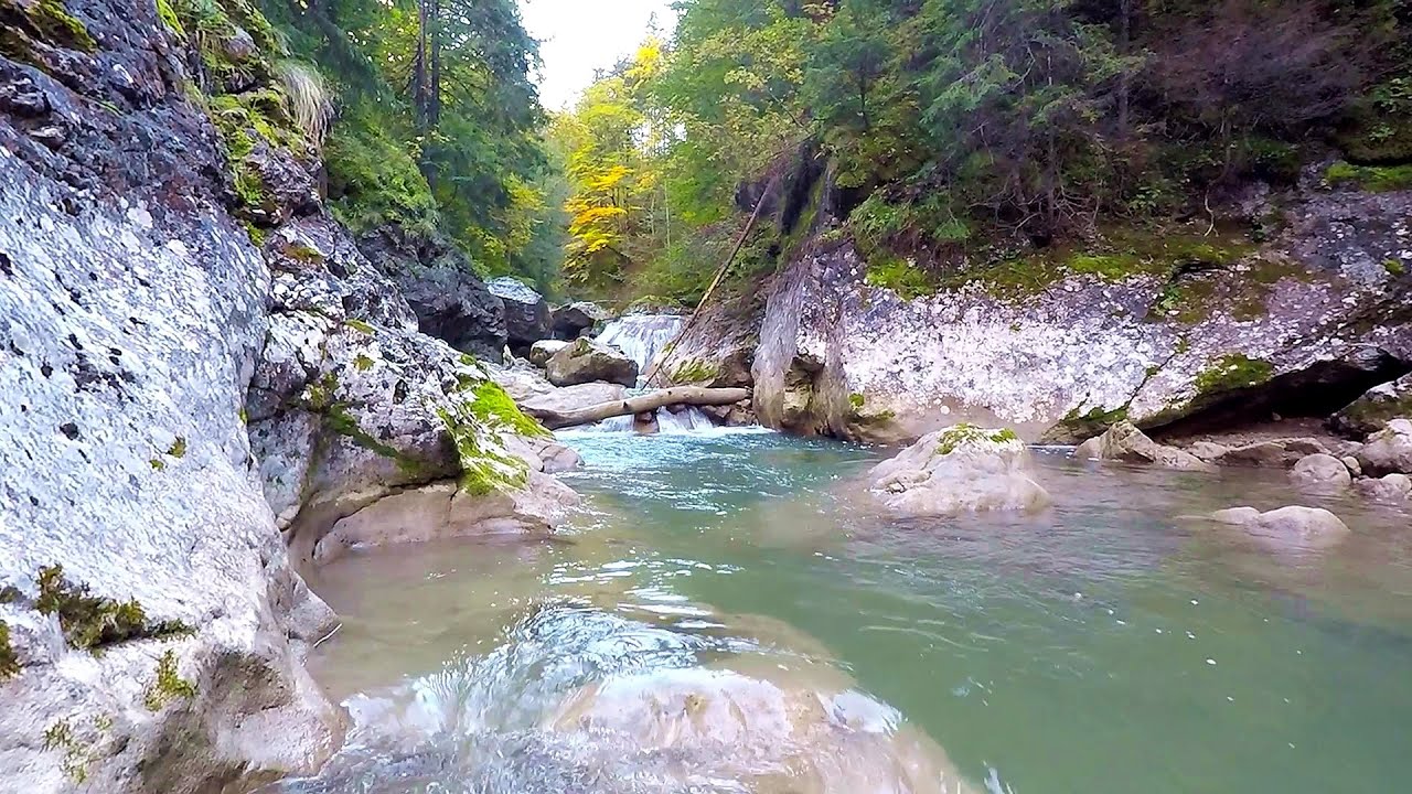
Zarnesti Gorge - Piatra Craiului Mountains (6 photos) 7.4 km away. Zarnesti Gorge (Prapastiile Zarnestilor) - Piatra Craiului Mountains.

Little King Rock - Piatra Craiului Mountains (14 photos) 8.9 km away. Little King Rock (Piatra Mica) - Piatra Craiului Mountains (King Rock).

Ciubotea-Scara - Bucegi Mountains (24 photos) 9.1 km away. Ciubotea clearing - Scara peak - Omu peak - Gaura sheepfold.


The Cats Gorge - Curmatura Cabin (20 photos) 9.6 km away. The Cat's Gorge - Valley of the Gorge Stream - Curmatura Cabin - Rift Saddle.


Great Bucsoi Mountain, Omu Peak - Bucegi (24 photos) 10 km away. Great Bucsoi Mountain (Bucsoiul Mare), Omu Peak (Varful Omu) - Bucegi Mountains.

Tower of King Rock - Piatra Craiului Mountains (15 photos) 10.1 km away. Border Ravine Valley (Padina Hotarului), Turm des Königstein (Turnul Pietrei Craiului).

Omu Peak, chamois - Bucegi Mountains (18 photos) 10.4 km away. Omu Peak (Varful Omu), chamois - Bucegi Mountains.
[ Top ↑ ]
Videos of nearby places

Dino Parc Rasnov 11.7 km away. On June 12, 2015, one of the largest dinosaur theme parks in the region opened in Rasnov, where we can see 45 life-sized dinosaurs. The facility is located directly next to the Rasnov Fortress, which is one of the best-preserved Transylvanian Saxon peasant fortresses.

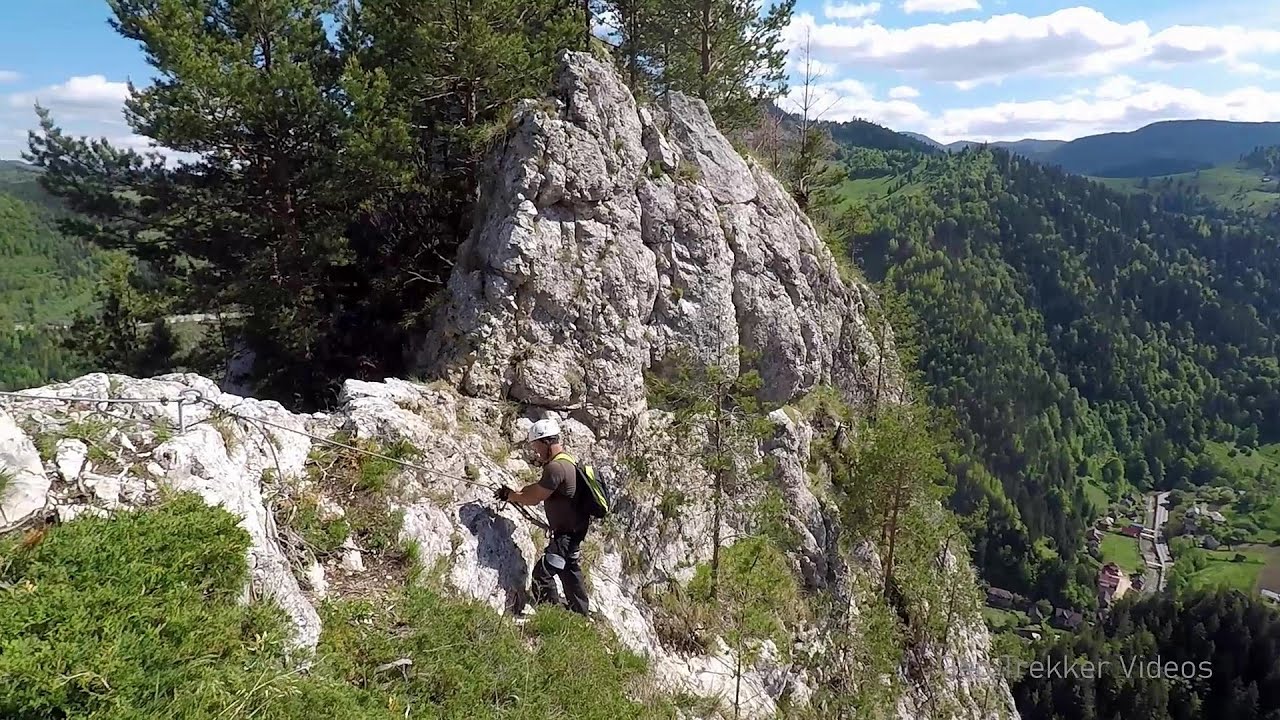
Small Via ferrata - Rasnoavei Gorge 12.1 km away. In the past few days, it has snowed, so I climbed the two climbing routes in the Rasnoavei Gorge under winter conditions. While the lower part of the challenging Big via ferrata was dry, the upper section had patches of snow and icicles.

Big Via ferrata Rasnoavei Gorge 12.1 km away. The most dangerous Eastern European iron path, and also one of the most beautiful via ferrata routes in Romania, is in the Rasnoavei Gorges, Postavaru Mountains.The route is 450 m long, with a level difference of 220 m.
Deubels path - Piatra Craiului Mountains 12.9 km away. Deubels path - Piatra Craiului Mountains (Kings Rock).

Ski resort - Poiana Brasov - Postavarul Mountains 15.8 km away. Shining sun and an Austria-feeling on the impeccable slopes of the ski paradise Poiana Brasov above Brasov. Sunbathing, coffee and refreshing drinks on the terrace of Julius Römer chalet.
Other places
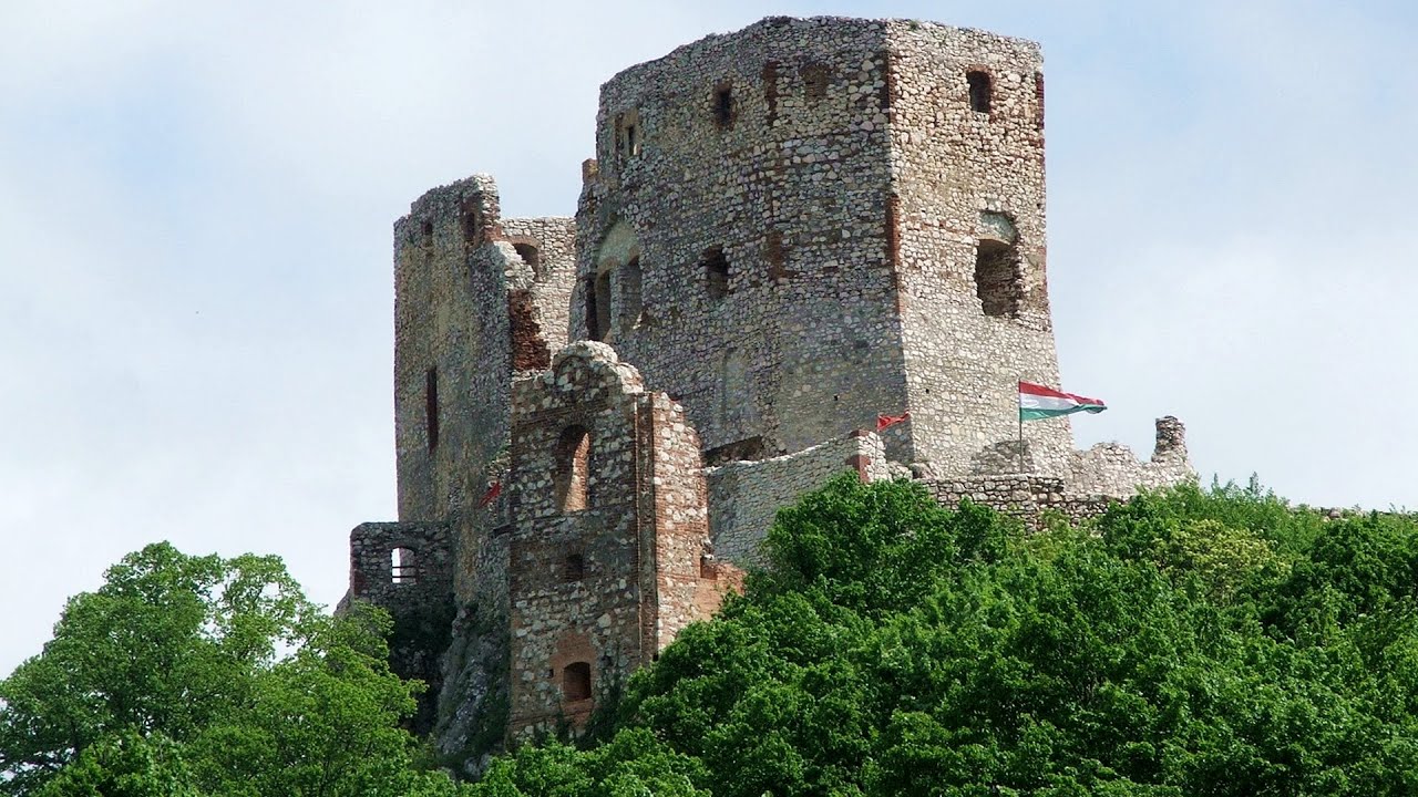
Castle panorama route, Zoltán Tálos memorial route, Besiegers route Csesznek Castle panorama route (D), Zoltán Tálos memorial route (E), Besieger's route (C), Kőmosó-ravine, Csesznek, Veszprém county, Hungary. The via ferratas in Csesznek are suitable for both getting acquainted with climbing, and assessing our capabilities.
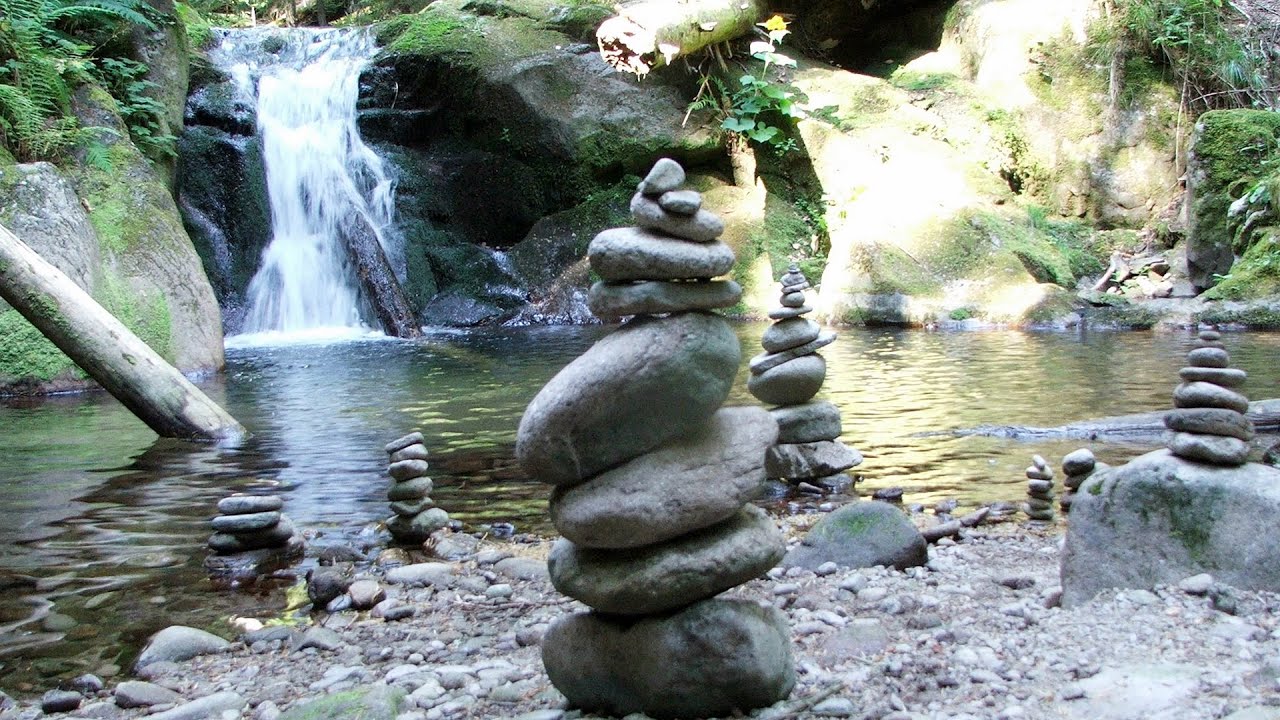
Canyon of Waterfalls Smolyan 441.2 km away. The eco-trail known as the Canyon of Waterfalls is located in Bulgaria, within the Rhodope Mountains and the Soskovcheto Nature Reserve. It begins at the edge of the Sredoka suburb of the city of Smolyan.

Mill of the Devils Tasna Gorge 231.9 km away. Mill of the Devils (Moara Dracilor) - Tasna Gorge (Cheile Tasnei). The Tasna Gorges are located in the Mehedinti Mountains, approximately 15 km from the resort of Baile Herculane.
Natural stone bridge Aglen 271.1 km away. Natural stone arch on the Vit river, near the village of Aglen. Crocodile shaped rock, Elephant rock.
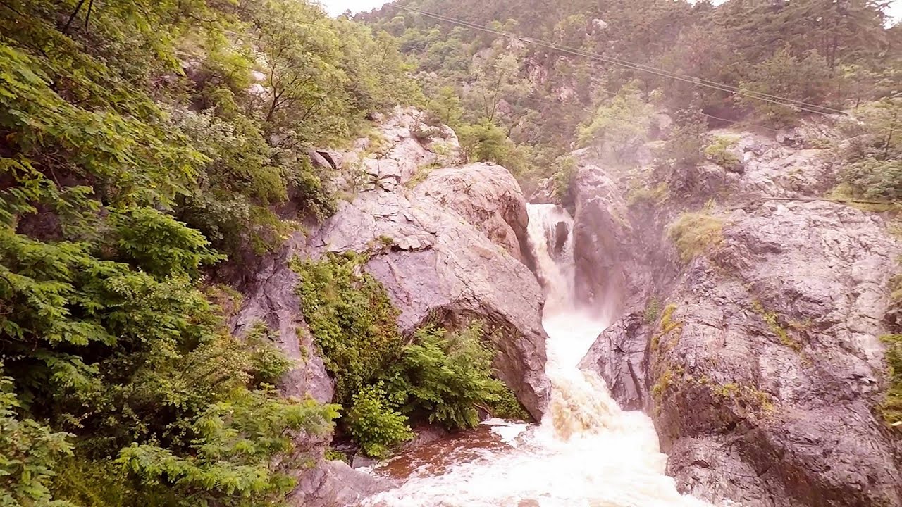
Suchurum waterfall Karlovo 321.5 km away. The 15-meter-high Suchurum Waterfall is located at the foot of the Stara Planina mountain range, 1 km north of the town of Karlovo in Bulgaria. It is situated below the Karlovo hydroelectric power plant, on the waters of the Stara Reka stream.
White Drin waterfall Drini i Bardhe (White Drin) waterfall.

SkiGyimes ski slope Lunca de Sus 120.5 km away. It is well-known that in Rimetea, due to the Piatra Secuiului (Szekler's Rock) mountain, the Sun rises twice. However, perhaps few know that in Lunca de Sus, the Sun sets three times.
[ Top ↑ ]
Copyright © 2003-2026 Trekkingklub and friends. Reproduction of any text, picture or video from this website, either in printed or electronic form, is prohibited without prior written permission. Website made with love  in Miercurea Ciuc.