Tourist attractions near Carsie (Sichevita, Caras-Severin county, Romania)
Photos of nearby places

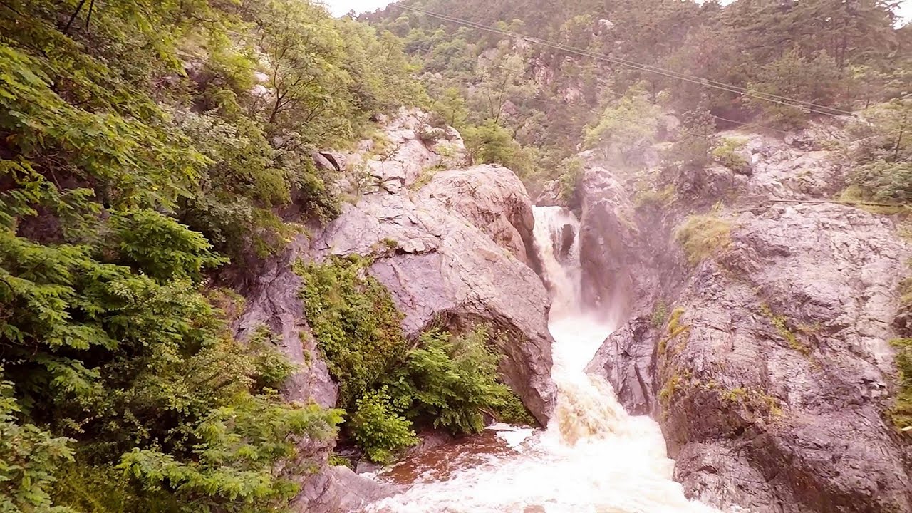
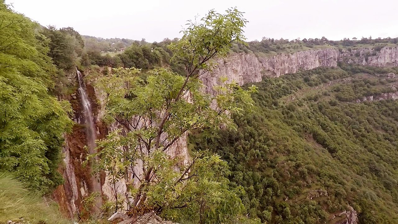
Beusnita waterfall (8 photos) 22.9 km away. Cascada Beusnita, located in the Caras-Severin county, is one of the most impressive waterfalls in the Anina Mountains. The water falling from a height of approximately 15 m, into a clearing in the middle of the forest, creates a uniquely picturesque landscape.


Natural bridge next to the Banita Stone Quarry (12 photos) 139.2 km away. Although the Banita Stone Bridge is not far from the road that passes through the village, it is located beyond the railway line, so its approach is a bit cumbersome. We can go around the railway line on Carierei Street, and then we have to walk a few meters from the stone quarry.

Banita Gorge - Banita (16 photos) 142.6 km away. The approximately 250 m long gorge, similar to the Corcoaia Gorge, is truly spectacular. According to assumptions, it was formed by the collapse of a cave passage ceiling, and then the erosion formed spectacular karst formations in the limestone.

Boli Cave - Banita (20 photos) 143.3 km away. The main cave passage is approximately 460 m long, with an entrance portal that is 10 m high and 20 m wide at its base. In the 1960s, bridges were built over the underground stream flowing through the cave.

Parangul Mare peak (16 photos) 152 km away. Chamois saddle (Saua Caprelor), Carja mountain shelter (Refugiul Carja) - Carja peak (Varful Carja) - Stoienita peak (Varful Stoienita) - Gemanarea - Parangul Mare peak.

Womens Cave - Parang Mountains (11 photos) 161.5 km away. The Cave of Women (Pestera Muierii, Pestera Muierilor) is located at the southern foot of the Parang Mountains, in the area of Baia de Fier in Gorj County. There are several climbing routes established on the rocks above the cave and on the other side of the road.

Ledge path of the chamois - Cheii Gorge (40 photos) 191.7 km away. Ledge path of the chamois (Brana Caprelor) - Cheii Gorge (Cheile Cheii).

Doabra Snail Shells - Brezoi (12 photos) 203.5 km away. Doabra Valley - Calinesti-Brezoi forest - Lotru Valley, Cozia National Park


Circular hiking tour in Cozia Mountain (48 photos) 209.3 km away. Arutela - Turnu monastery - Rosiei Rocks - Turneanu ridge - Cozia peak - Stone portal - Stanisoara monastery - Gardului waterfall.


Goat Stone - Craiva, Trascau Mountains (18 photos) 210.3 km away. Goat Stone (Piatra Craivii, Piatra Craivei, Apulon) - Craiva, Trascau Mountains.


Stone of Cetea, Horse Pit - Trascau (16 photos) 215.1 km away. Stone of Cetea, Horse Pit (The pit cave from the Stone of Cetea) - Trascau Mountains.

Goats Ledge - Trascau Mountains (10 photos) 216.7 km away. Goats Ledge (Brana Caprei, Kecskék párkánya) - Trascau Mountains .


Dark Blue Bruises of the Ponor - Trascau Mountains (16 photos) 223.2 km away. The Dark Blue Bruises of the Ponor (Vanatarile Ponorului) is a polje-type protected area. Polje is a Slovenian word meaning plain, and it refers to a surface karst form.


Dark Blue Bruises of the Ponor, Bedeleu (24 photos) 225.8 km away. Dark Blue Bruises of the Ponor (Vanatarile Ponorului), Bedeleu - Trascau Mountains.

Balcony Clearing - Trascau Mountains (6 photos) 226.7 km away. Balcony Clearing (Erkély-tisztás, Balconul Sipotelor) - Trascau Mountains.

Aries valley - Trascau Mountains (10 photos) 227.8 km away. Aries (Golden) valley - Trascau Mountains.
[ Top ↑ ]
Videos of nearby places

Rudariei watermills - Eftimie Murgu 27.7 km away. I have visited the twenty-two wooden water mills with horizontal wheels, located in the valley of the Rudaria stream, mostly in the rain and under an umbrella. Some of them are still in use today.

Mill of the Devils - Tasna Gorge 61.3 km away. Mill of the Devils (Moara Dracilor) - Tasna Gorge (Cheile Tasnei). The Tasna Gorges are located in the Mehedinti Mountains, approximately 15 km from the resort of Baile Herculane.

The Wooden Ladders - The villages of Scarisoara and Inelet, Cerna valley 66.4 km away. Scarisoara and Inelet are small, isolated villages located in the mountainous region of Banat. They are situated on the right bank of the Cerna River, approximately 19 km away from the Baile Herculane resort.

Blasted Rock hanging path - Cerna Valley 67.2 km away. The Blasted Rock (Piatra Puscata) hanging path is located on the geographical right bank of the Cerna River, near the confluence of the Iuta stream, approximately 20 km from Baile Herculane. In this area, the presence of limestone formations has caused the valley to become narrower.

Corcoaia Gorge - Gorj county 82.9 km away. The Corcoaia Gorge is one of the most beautiful tourist attractions in the Cerna Valley. It can be reached by car, 43 km away from Baile Herculane, of which about 17 km is on a dusty gravel road.
Other places

Shipka pass Shipka 358 km away. The Shipka Pass is one of the most spectacular crossings of the Balkan Mountains, and is part of the Bulgarka Nature Park. It separates the provinces of Gabrovo and Stara Zagora, and provides a connection between the cities of Gabrovo and Kazanlak.

Small Via ferrata Rasnoavei Gorge 304.7 km away. In the past few days, it has snowed, so I climbed the two climbing routes in the Rasnoavei Gorge under winter conditions. While the lower part of the challenging Big via ferrata was dry, the upper section had patches of snow and icicles.
Oltet Gorge Capatana Mountains 163.8 km away. Oltet Gorge (Cheile Oltetului) - Capatana Mountains. That day, we had planned to ski at the Ranca resort, situated alongside the Transalpina high altitude mountain road in the Parang Mountains.
Suchurum waterfall Karlovo 333.9 km away. The 15-meter-high Suchurum Waterfall is located at the foot of the Stara Planina mountain range, 1 km north of the town of Karlovo in Bulgaria. It is situated below the Karlovo hydroelectric power plant, on the waters of the Stara Reka stream.

Bovska Skaklya waterfall Iskar gorge 224.4 km away. The Bovska Skaklya waterfall is located near the town of Svoge in Bulgaria. The waterfall formed on the Zaselska River has several reported heights online (120 m, 85 m).
Óbányai Valley Eastern Mecsek 313.9 km away. The Óbányai Valley is located in the Eastern Mecsek Landscape Protection Area, stretching between Óbánya and Kisújbánya. Its attractions include the Slanting waterfall or Fairy Stairs, and the Dripping Rock.
Lonely Stone Hasmas Mountains 380.1 km away. On June 1, 2003, with a small group of friends, I left Balan, walking along the valley of the Sep (Beautiful) stream towards the Lonely Stone (Piatra Singuratica). Those who were with me at the time fell behind, and then other people joined for the hike.
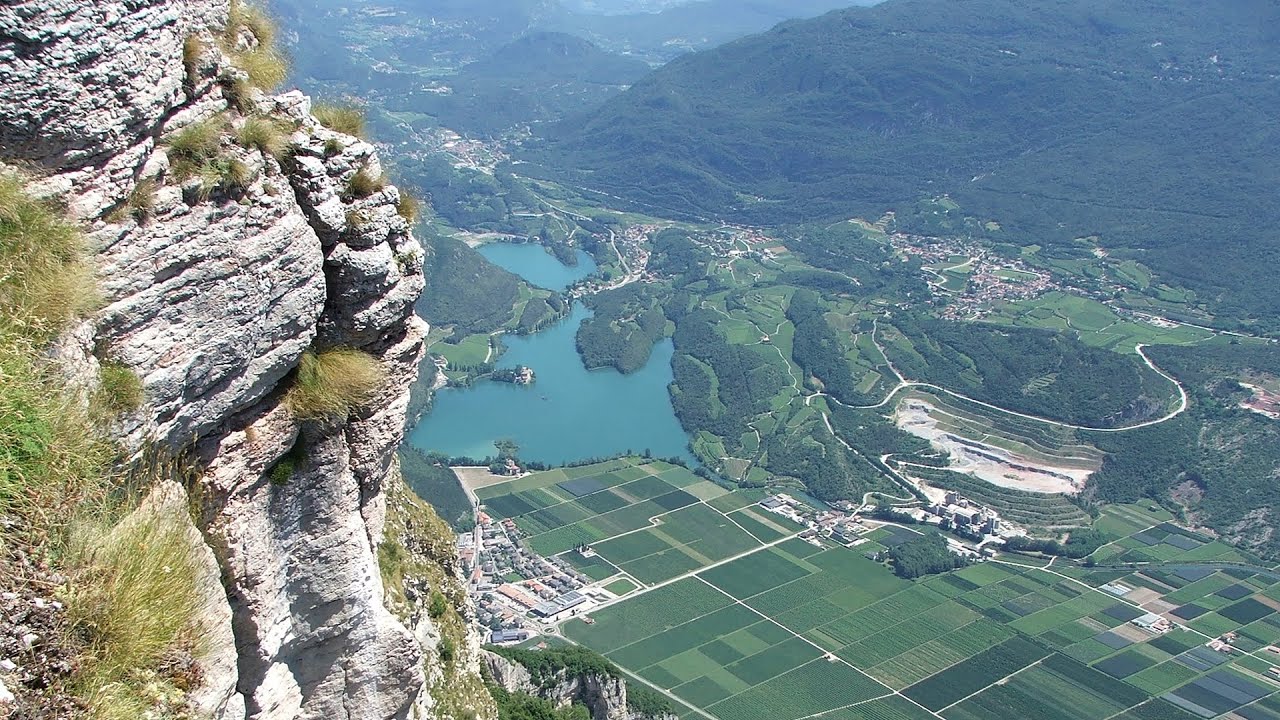
Via ferrata Ernesto Che Guevara al Monte Casale, Monti del Garda, Trentino Alto Adige The Che Guevara via ferrata is the longest iron climbing route I have ever climbed. There is a 1400 m level difference from the starting point to the peak of Monte Casale.
Other destinations
Gornjak via ferrata and Kudelinovs fortress Zdrelo 55.3 km away. Difficulty level C/D, total length: 400 m, height difference: 330 m, year of construction: 2019, total length of the route to Kudelinov's fortress: 1100 m. Access to the via ferrata is free.
Lipovac via ferrata and monastery of Saint Stephen 129.8 km away. Difficulty level B, total length: 190 m, height difference: 90 m, year of construction: 2022. It is necessary to contact the PSK Brđanka club to obtain the key for the ladders at the entrance of the via ferrata.
Turcinovac via ferrata and cave Ovcar Banja 157.5 km away. Difficulty level B, total length: 60 m, height difference: 45 m, year of construction: 2010. Climbing the via ferrata is only permitted with the approval of the Extreme Sports Club Armadillo from Cacak, and there is a fee for it.
Mucanj via ferrata and the Boze Javorca cave Ravna Gora 192.9 km away. Difficulty level C/D, total length: 500 m, height difference: 200 m, year of construction: 2022. The via ferrata is free to climb.
[ Top ↑ ]
Copyright © 2003-2026 Trekkingklub and friends. Reproduction of any text, picture or video from this website, either in printed or electronic form, is prohibited without prior written permission. Website made with love  in Miercurea Ciuc.