Tourist attractions near Comandau (Comandau, Covasna county, Romania)
Photos of nearby places

Surroundings of Covasna town (24 photos) 8.5 km away. Fortress of Fairies, Narrow gauge railway Covasna-Comandau


Devils Hand Rock - Ciucas Mountains (30 photos) 31.5 km away. Dalghiu - Devil's Hand Rock - Ciucas peak - Vama Buzaului

Muntele Rosu - Ciucas Mountains (12 photos) 38.2 km away. Muntele Rosu (Red Mountain) - Ciucas Mountains.

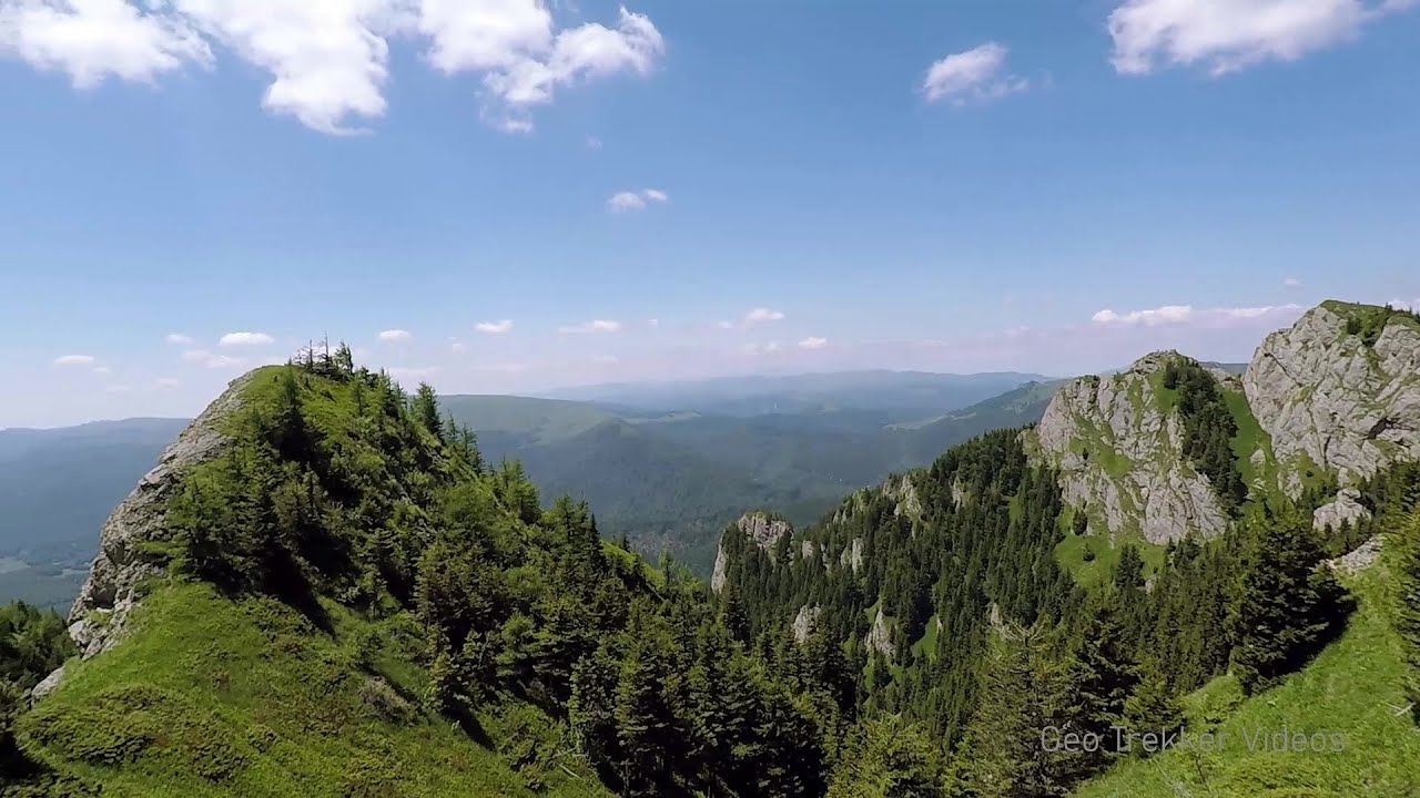
Red Mountain, Tigaile Mari - Ciucas Mountains (24 photos) 38.3 km away. Red Mountain - Tigaile Mari.

White dacitic tuff - Manzalesti (4 photos) 41.3 km away. The 'Grunjul de la Manzalesti' is composed of dacitic tuff, which originates from volcanic ash. It is located in the center of the Manzalesti commune, Buzau county, at the confluence of the Slanic and Jgheab streams.

Chiojdu (18 photos) 42 km away. Basca cu Cale - La Sipot waterfall - Basca fara Cale - Tata Lice boarding-house - Chiojdu village.


Veczer Rock (12 photos) 46.4 km away. The Veczer Rock is located 3 km south of the village of Ariusd, on the southern slope of the place named Veczer. The tall hill is encircled by the Olt River, with conglomerate rocks resembling giants stretching above the river.


Seven Ladder Waterfall - Piatra Mare Mountains (12 photos) 53.8 km away. The Seven Ladders are located in the middle-western part of the Piatra Mare Mountains, at an average altitude of 980 m, not far away from Valea Timisului (Dambu Morii), on the Seven Ladders River, the left-side affluent of Sipoaia creek. These are the greatest and the most spectacular gorges of the whole Piatra Mare Mountains.

Piatra Mare peak and surroundings (24 photos) 54 km away. Piatra Mare hut - Piatra Mare peak - Stone Mushrooms - Stone Barn.


The waterfalls of Velnita stone-quarry - Left side (18 photos) 58.7 km away. Fan waterfall, Side waterfall, Double-decked waterfall, Waterfall with stairs, Hammock waterfall, Terrrace waterfall, The waterfall behind the arch, Suspended rock cube, Brown waterfall, Ceiling waterfall.

The waterfalls of Velnita stone-quarry - Right side (16 photos) 58.8 km away. The waterfall from the quarry, Green waterfall, Water-jet waterfall, Run down waterfall.

Round rocks from Viisoara - Berzunti (12 photos) 65.3 km away. Round rocks are quite a common curiosity, apart from those in Costesti, Valcea county, there are numerous other locations with similar rock formations. The round rocks from Viisoara are located northwest of the village, at a distance of approximately 700 meters from DC152 road.

Thieves Cave - Persani Mountains (20 photos) 67.4 km away. The Thieves' Cave at Apata is located in the valley of the Tepeu creek, renowned for its outcrop of red clayey limestone, which is very rich in ammonites. A tributary of the stream is formed by the waters of a spring fed by the watercourse coming from the cave's gallery.

Cavities in Tipia of Ormenis - Persani Mountains (24 photos) 68.7 km away. Cavities in Tipia of Ormenis - Persani Mountains (Muntii Persani).

Costila Peak, Caraiman Mountain - Bucegi (18 photos) 71.9 km away. Costila Peak, Caraiman Mountain - Bucegi Mountains.

Urlatoarea waterfall - Bucegi Mountains (8 photos) 71.9 km away. Urlatoarea waterfall (Cascada Urlatoarea) - Bucegi Mountains.
[ Top ↑ ]
Videos of nearby places
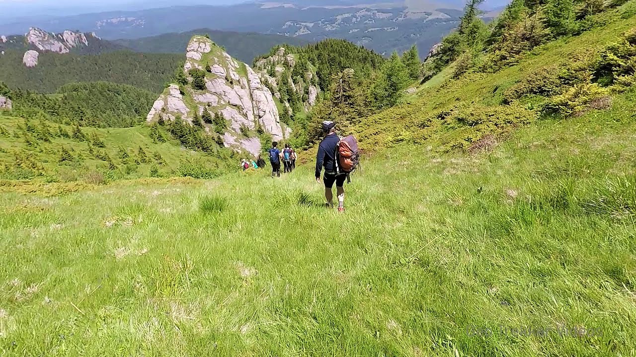
Searching for rhododendrons - Ciucas Boulevard 37.6 km away. Red Mountain (Muntele Rosu), Gropsoarele-Zaganu ridge - Ciucas Mountains

Preachers Rock - Bodoc Mountains 41 km away. In the Bodoc Mountains, west-southwest from the Henter peak, we find a rock formation shaped like a mushroom by erosion, called Preacher's Rock. This 2-meter high rock probably got its name from the pagan Hungarian priests, who preached here in the past.

Saint Anne lake - Ciomat-Puturosu 50.5 km away. Lake Saint Anna is the only well-preserved volcanic crater lake in Eastern Europe. Here are some images from an afternoon outing.

Seven Ladder Canyon and Waterfall - Piatra Mare Mountain 53.8 km away. The Seven Ladder Gorge is the largest and most spectacular gorge in the Piatra Mare massif. The narrow canyon has a length of 160 meters, and over a drop of 58 meters includes 7 bigger and several smaller waterfalls.
Other places
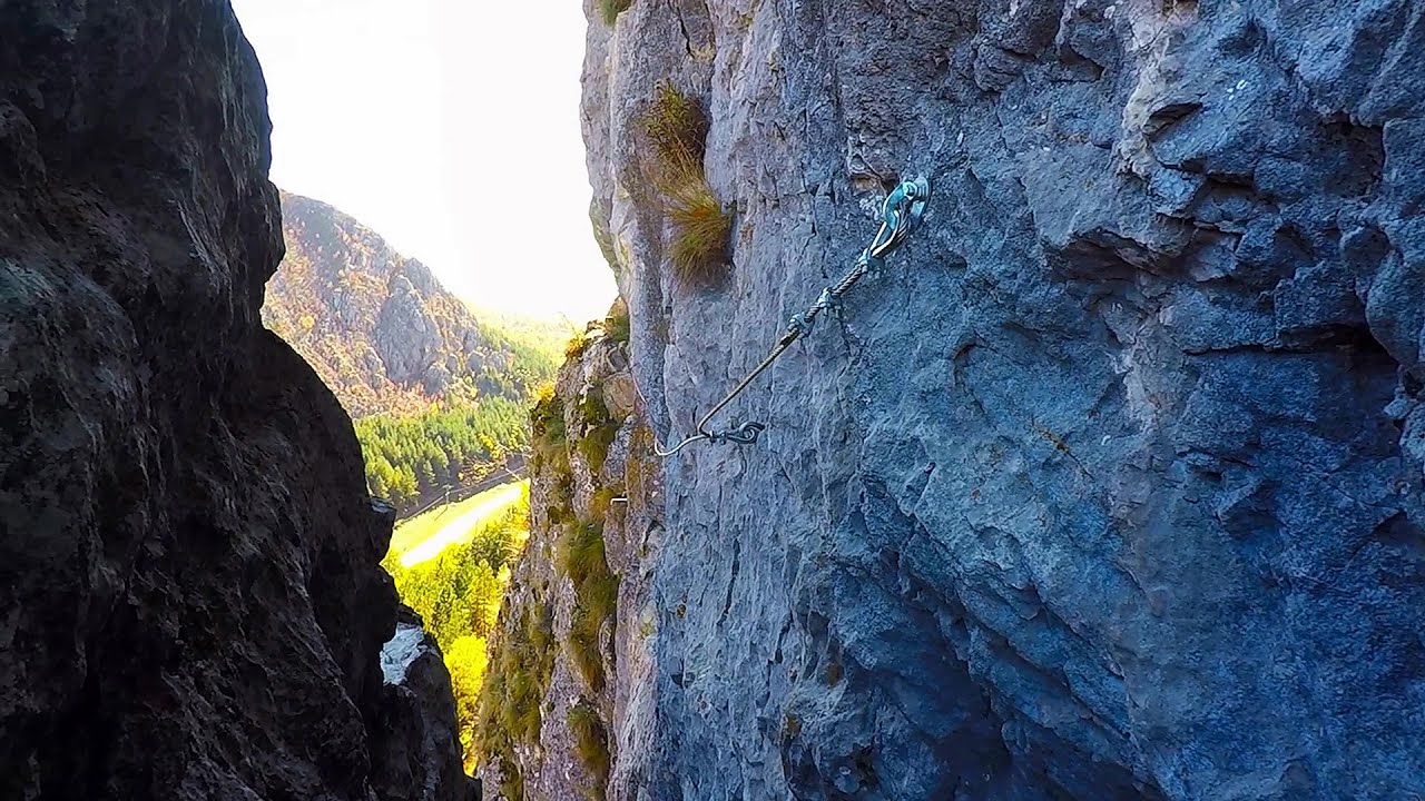
Middle Belt via ferrata route Baia de Fier 206.6 km away. Middle Belt (Spirala Medie) via ferrata route - Baia de Fier. In May 2018, two new via ferrata routes were inaugurated in Baia de Fier.
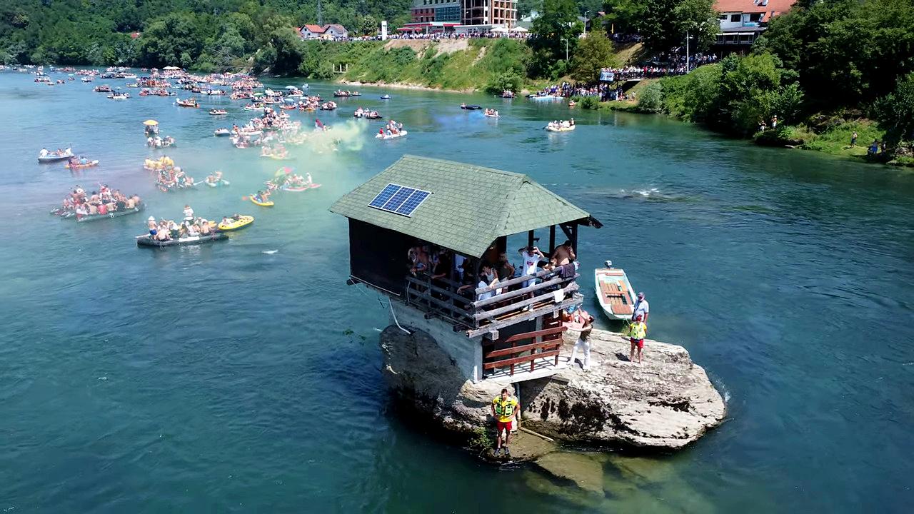
Drina river house Bajina Bašta The house visible on the Drina River (Kućica na Drini) is a unique wooden structure built on a rock in the middle of the river, near Bajina Bašta, Serbia. The house is located on the border between Serbia and Bosnia-Herzegovina, close to the border line between the two countries.

Via Ferrata Fairy Castle Vadu Crisului 318.6 km away. Via Ferrata Fairy Castle (Castelul Zanelor, Casa Zmeului, The House of the Dragon) - Vadu Crisului. South of Vadu Crisului, in the Padurea Craiului Mountains, lies the Vadu Crisului Gorge, a section of the Crisul Repede river that narrows between rocky walls.
Play Wall via ferrata park Mariazeller via ferrata, Felixs Ladder to the Heaven, Devils Bridge Located only ten kilometers from the town of Mariazell, you'll find the via ferrata park known as the Play Wall (Klettersteigpark Spielmäuer). Here, we find three via ferratas: Olivers Mariazeller Steig (B/C), Felix Himmelleiter (D), and Tristans Kirchbogensteig (C).
Via ferrata Dachstein Gams Krippenstein, Obertraun am Hallstättersee The Dachstein Gams is a new via ferrata route on Krippenstein. It has three parts: Himmeleck (A/B), Gams (C), and Nordwand (E).
Falco Peregrinus 2 via ferrata Falcons Rock, Corbu 146.8 km away. Falco Peregrinus (Peregrine falcon) 2 via ferrata (D) - Falcon's Rock, Corbu.
Skaklya waterfall Vratsa 359.3 km away. The largest seasonal waterfall in Bulgaria plunges down from a height of 141 meters. It is located in the Vratsa Mountain National Park, just one and a half kilometers away from the city of Vratsa.
Great Canyon cave Peja Gryka e Madhe (Great Canyon) cave - Peja.
Berim via ferrata Zubin Potok Difficulty level D, total length: 4 km, height difference: 520 m, year of construction: 2015. Climbing season: May 1 - October 30.
[ Top ↑ ]
Copyright © 2003-2026 Trekkingklub and friends. Reproduction of any text, picture or video from this website, either in printed or electronic form, is prohibited without prior written permission. Website made with love  in Miercurea Ciuc.