Tourist attractions near Santimbru-Bai (Santimbru, Harghita county, Romania)
Photos of nearby places

Ruins of the Harom fortress - Jigodin Bath (10 photos) 5.2 km away. The Harom Fortress was built around the beginning of the 12th century and was part of the system of fortifications that protected Transylvania from the east. It is located south of Miercurea Ciuc, east of Harom Peak, which has an altitude of 1079 m, near the southwestern limits of Jigodin Bath (Baile Jigodin).


Harghita Bath - Harghita Mountains (15 photos) 16 km away. Harghita Bath (Harghita-Bai) - Harghita Mountains.


[ Top ↑ ]
Videos of nearby places


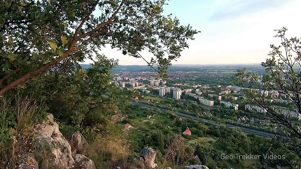
Nobodys lake - Miercurea Ciuc 9 km away. The passage of time (time lapse), dusk at Nobody's Lake. Miercurea Ciuc and the Sumuleu mountain can be seen in the background.

Walking to the top of Sumuleul Mare - Sumuleu Ciuc 12.3 km away. This was my first attempt at shooting a video.


Kossuth Rock - Harghita Bath 15 km away. Kossuth Rock - Harghita Bath (Harghita-Bai), Harghita Mountains.
Other places
Thracian stone sharapani Nochevo 490.7 km away. Sharapani is a traditional stone container used by ancient Thracians for processing grapes in wine production. Two well-preserved sharapani containers are located about 200 meters apart.
The two niches with the visor Nochevo 490.5 km away. Dvete nishi s kozirkata (The two niches with the visor) - Nochevo.
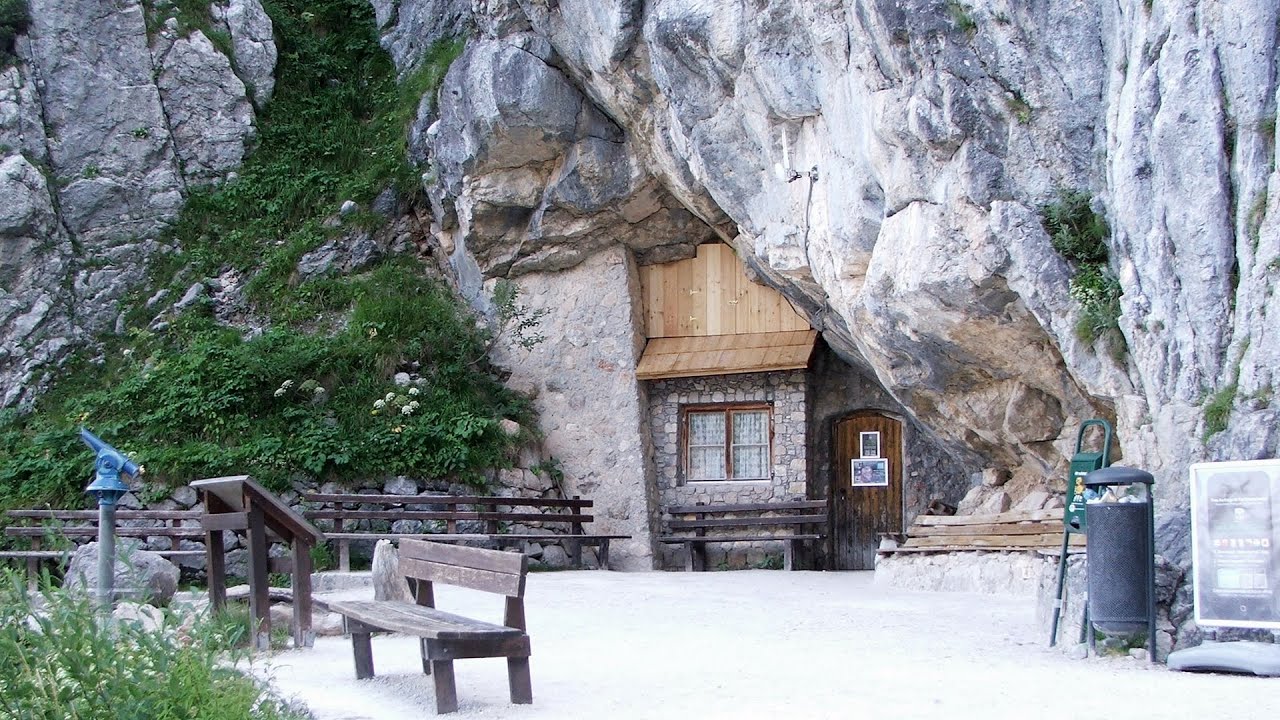
Giant Ice Cave Dachstein Salzkammergut, Obertraun am Hallstättersee The second cave accessible to the public at the Schönbergalm above Obertraun on Lake Hallstatt is the Giant Ice Cave (Rieseneishöhle). For me, it was more spectacular than the Mammoth Cave.

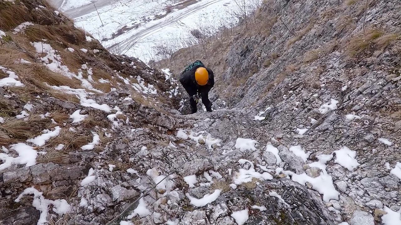
Fairy Cliff via ferrata route Vadu Crisului 260.2 km away. Fairy Cliff (Peretele Zanelor) via ferrata route - Vadu Crisului. In Vadu Crisului, in the Padurea Craiului Mountains, on the right bank of the Crisul Repede, you can find the newest, in chronological order (2015) the fifth Transylvanian, new type of via ferrata route.

Rudariei watermills Eftimie Murgu 325.2 km away. I have visited the twenty-two wooden water mills with horizontal wheels, located in the valley of the Rudaria stream, mostly in the rain and under an umbrella. Some of them are still in use today.
Natural stone bridge Aglen 360.6 km away. Natural stone arch on the Vit river, near the village of Aglen. Crocodile shaped rock, Elephant rock.
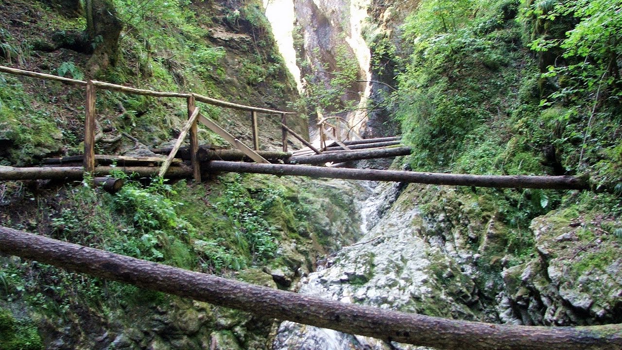
Devils Mill Gorge Campulung Moldovenesc 134.3 km away. The Devil's Mill Gorge is relatively short, measuring only 60 to 70 meters in length. It was formed in yellowish-gray-white dolomite by the work of a stream that crosses the gorge, as a result of erosion and the dissolution characteristic of limestone.
Loreley and Pink Panther iron path Baia de Fier 196.8 km away. The Loreley via ferrata (graded B/C, with an elevation difference of approximately 100 m and a length of about 100 m) is located on the rock wall on the opposite side of the road. A branch from its upper section leads to the Pink Panther (Pantera Roz, graded A/B/C, approximately 200 meters long, with an elevation difference of about 50 meters).
[ Top ↑ ]
Copyright © 2003-2026 Trekkingklub and friends. Reproduction of any text, picture or video from this website, either in printed or electronic form, is prohibited without prior written permission. Website made with love  in Miercurea Ciuc.