Tourist attractions near Ardeu (Balsa, Hunedoara county, Romania)
Photos of nearby places

Goat Stone - Craiva, Trascau Mountains (18 photos) 33.5 km away. Goat Stone (Piatra Craivii, Piatra Craivei, Apulon) - Craiva, Trascau Mountains.

Stone of Cetea, Horse Pit - Trascau (16 photos) 37.7 km away. Stone of Cetea, Horse Pit (The pit cave from the Stone of Cetea) - Trascau Mountains.

Goats Ledge - Trascau Mountains (10 photos) 39.1 km away. Goats Ledge (Brana Caprei, Kecskék párkánya) - Trascau Mountains .

Dark Blue Bruises of the Ponor - Trascau Mountains (16 photos) 45.6 km away. The Dark Blue Bruises of the Ponor (Vanatarile Ponorului) is a polje-type protected area. Polje is a Slovenian word meaning plain, and it refers to a surface karst form.

Dark Blue Bruises of the Ponor, Bedeleu (24 photos) 48.4 km away. Dark Blue Bruises of the Ponor (Vanatarile Ponorului), Bedeleu - Trascau Mountains.

Balcony Clearing - Trascau Mountains (6 photos) 49.3 km away. Balcony Clearing (Erkély-tisztás, Balconul Sipotelor) - Trascau Mountains.

Aries valley - Trascau Mountains (10 photos) 50.3 km away. Aries (Golden) valley - Trascau Mountains.


Szekler Stone North - Trascau Mountains (8 photos) 58.2 km away. Szekler Stone North (Piatra Secuilor Nord) - Trascau Mountains.

Szekler Stone - Trascau Mountains (42 photos) 58.2 km away. Szekler Stone (Székely-kő, Piatra Secuilor) - Trascau Mountains.

Boli Cave - Banita (20 photos) 64.7 km away. The main cave passage is approximately 460 m long, with an entrance portal that is 10 m high and 20 m wide at its base. In the 1960s, bridges were built over the underground stream flowing through the cave.

Natural bridge next to the Banita Stone Quarry (12 photos) 64.7 km away. Although the Banita Stone Bridge is not far from the road that passes through the village, it is located beyond the railway line, so its approach is a bit cumbersome. We can go around the railway line on Carierei Street, and then we have to walk a few meters from the stone quarry.

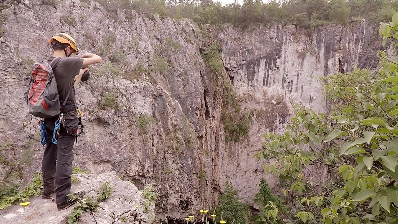
Banita Gorge - Banita (16 photos) 64.9 km away. The approximately 250 m long gorge, similar to the Corcoaia Gorge, is truly spectacular. According to assumptions, it was formed by the collapse of a cave passage ceiling, and then the erosion formed spectacular karst formations in the limestone.


Turda Gorge - Trascau Mountains (9 photos) 72.9 km away. Turda Gorge (Cheile Turzii) - Trascau Mountains.

Turda Gorge - Trascau Mountains (11 photos) 72.9 km away. Turda Gorge (Cheile Turzii) - Trascau Mountains.

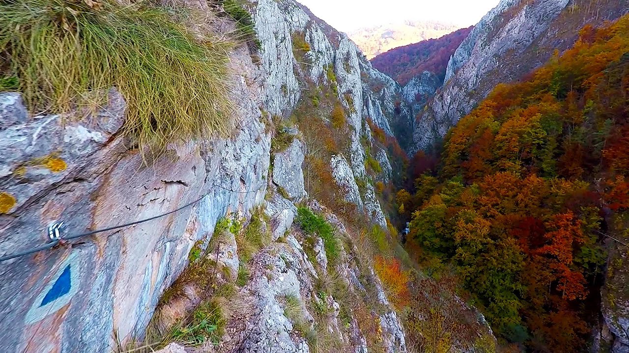
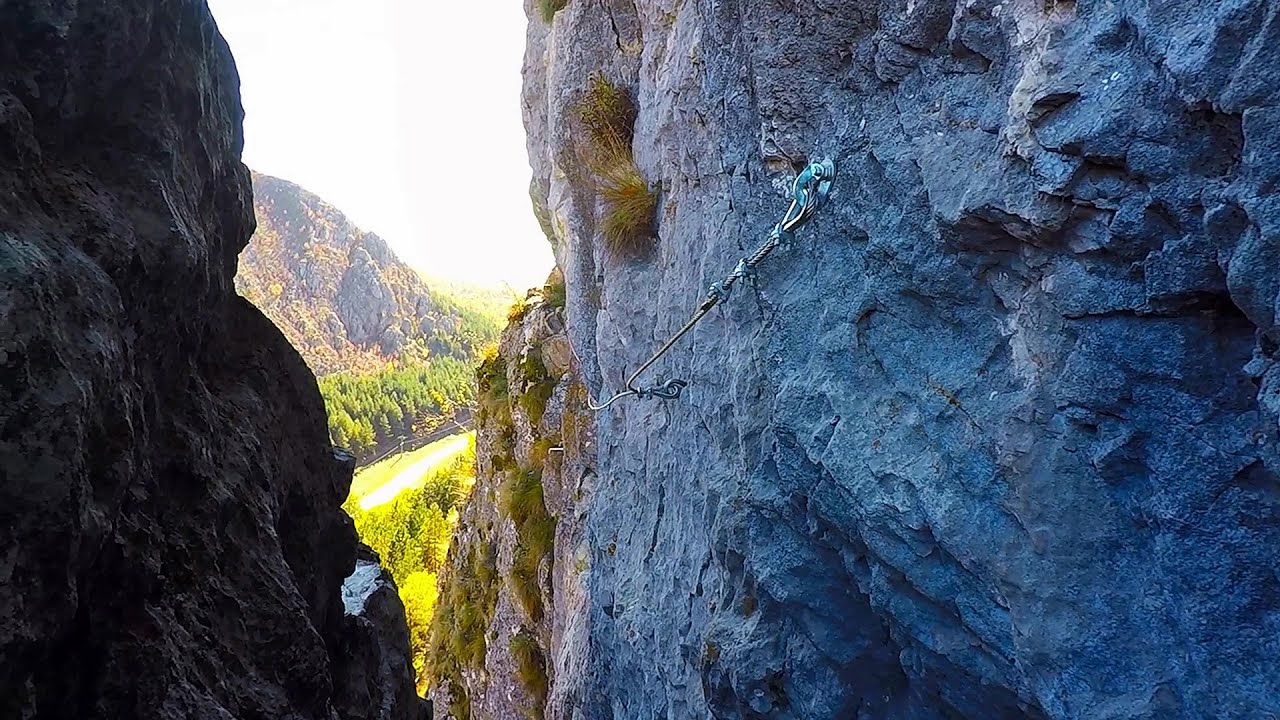
Turda Gorge via ferrata (24 photos) 72.9 km away. Turda Gorge iron path (Via ferrata Cheile Turzii) - Trascau Mountains.


Tureni Gorge iron path visiting route (24 photos) 78.3 km away. Tureni Gorge iron path visiting route (via ferrata) - Trascau Mountains.

[ Top ↑ ]
Videos of nearby places


Goats Ledge iron path - Ramet Gorge 39.1 km away. Via ferrata Goats Ledge (Brana Caprei) iron path - Ramet Gorge, Trascau Mountains.
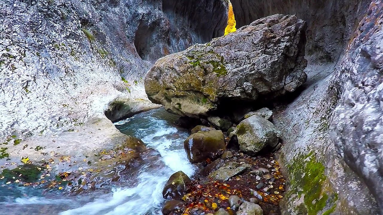
Ramet Gorge - Goagiu Creek 39.2 km away. Ramet Gorge (Cheile Rametului) - Goagiu Creek (Paraul Goagiu), Trascau Mountains. The Ramet Gorge is the wildest canyon in the Trascau Mountains.
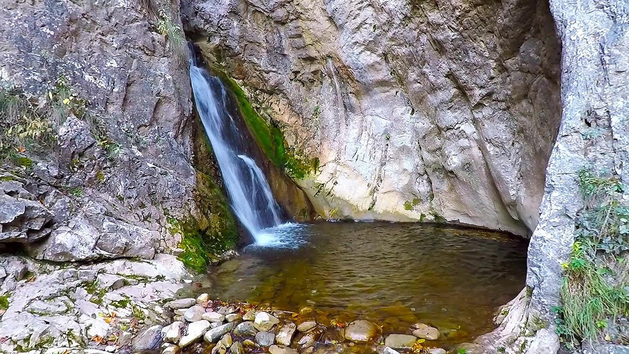
Roman Baths - Cetea, Trascau Mountains 40.3 km away. Roman Baths (Baile Romane) - Cetea, Trascau Mountains. Among the valleys of the Trascau Mountains, the Cetea Gorge best deserves the name of a crevice valley.
Other places
Lednica iron path Brestnitsa 340.9 km away. The Lednica via ferrata is located next to the Saeva Dupka Cave, near the village of Brestnitsa in Bulgaria. The trail leading to the via ferrata, which opened in 2007, starts from the cave parking lot next to a covered resting area.

Seven Ladder Canyon and Waterfall Piatra Mare Mountain 200.3 km away. The Seven Ladder Gorge is the largest and most spectacular gorge in the Piatra Mare massif. The narrow canyon has a length of 160 meters, and over a drop of 58 meters includes 7 bigger and several smaller waterfalls.
Pricske peak Giurgeu Mountains 207.7 km away. If we want to reach Pricske (Prisca) peak, which rises above Gheorgheni and Lazarea, we start from the valley of the Güdüc (Ghidut) stream. Our path leads us past the ruins of a building known as the White House.

Virus and Antivirus iron paths Baia de Fier 104 km away. With Virus (B/C) and Antivirus (C), the number of via ferrata routes at Baia de Fier has increased to thirteen. In fact, it is a Y-shaped route that starts near the entrance of the Laura via ferrata, and the exits are located just a few meters from the Laura exit.

Saint Anne lake Ciomat-Puturosu 211.8 km away. Lake Saint Anna is the only well-preserved volcanic crater lake in Eastern Europe. Here are some images from an afternoon outing.
Natural stone bridge Aglen 327.6 km away. Natural stone arch on the Vit river, near the village of Aglen. Crocodile shaped rock, Elephant rock.
Middle Belt via ferrata route Baia de Fier 103.8 km away. Middle Belt (Spirala Medie) via ferrata route - Baia de Fier. In May 2018, two new via ferrata routes were inaugurated in Baia de Fier.
Wild Ferenc memorial path Suhardul Mic 220.6 km away. In recent days, this news has been everywhere: the via ferrata route built on the southwest wall of Suhardul Mic (Little Suhard) has finally been completed and inaugurated. The new route has been named after Ferenc Wild, in memory of the former mountain rescuer, sports writer, and one of the founders of the mountain rescue association in Gheorgheni.

Rudariei watermills Eftimie Murgu 152 km away. I have visited the twenty-two wooden water mills with horizontal wheels, located in the valley of the Rudaria stream, mostly in the rain and under an umbrella. Some of them are still in use today.
[ Top ↑ ]
Copyright © 2003-2026 Trekkingklub and friends. Reproduction of any text, picture or video from this website, either in printed or electronic form, is prohibited without prior written permission. Website made with love  in Miercurea Ciuc.