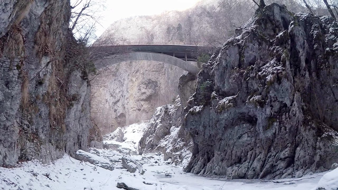
The Gorge of the Creek of the Gorge (Cheii Gorge, Cheile Cheii) - Buila-Vanturarita National Park | Video
Hiking photos and videos Login Register
Select language: - Magyar - Romana - Deutsch - Français - Italiano - Español -
Select language: - Magyar - Romana - Deutsch - Français - Italiano - Español -

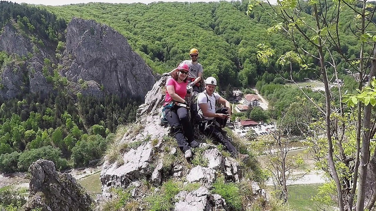
The Gorges of the Creek of the Gorge (Cheii Gorge, Cheile Cheii) is located in the Buila-Vanturarita National Park within the Capatana Mountains. It is one of the most beautiful and picturesque gorges in Romania. According to legend, this stream leads to the heavens and symbolizes the key needed for entry (the key is called cheie in Romanian).
Read more
Filmed with GoPro HERO5 Black. Music: When I Grow Up by Alasdair Cooper. Copyright © 2018 - 2025 Geo Trekker Videos.
Already published 8983 photos and 180 videos. Please register for full and ad-free access.
Photos of nearby places


Doabra Snail Shells - Brezoi (12 photos) 13.35 km away
Doabra Valley - Calinesti-Brezoi forest - Lotru Valley, Cozia National Park


Circular hiking tour in Cozia Mountain (48 photos) 17.52 km away
Arutela - Turnu monastery - Rosiei Rocks - Turneanu ridge - Cozia peak - Stone portal - Stanisoara monastery - Gardului waterfall.


Women's Cave (Pestera Muierii) - Parang Mountains (11 photos) 30.33 km away
The Cave of Women (Pestera Muierii, Pestera Muierilor) is located at the southern foot of the Parang Mountains, in the area of Baia de Fier in Gorj County. There are several climbing routes established on the rocks above the cave and on the other side of the road.


[ Top ↑ ]
Videos of nearby places
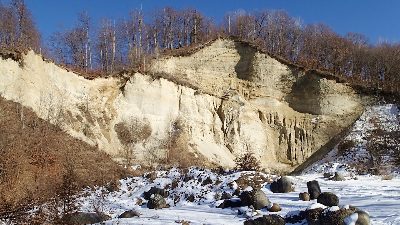
Doabra Stones - Brezoi, Lotru Mountains 13.54 km away
The DN7A road branches off west from the Olt Valley, from the main road between Sibiu and Ramnicu Valcea, leading towards Voineasa and Lake Vidra. The first settlement is a small town, Brezoi, which is located at the confluence of the Lotru and Olt rivers.
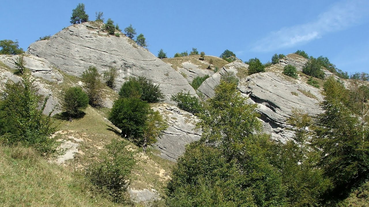
Oltet Gorge (Cheile Oltetului) - Capatana Mountains 28.05 km away
That day, we had planned to ski at the Ranca resort, situated alongside the Transalpina high altitude mountain road in the Parang Mountains. Unfortunately, the very small snowfall made skiing unfeasible, so we had to find an alternative activity on our way home.
Via Ferrata Pink Panther - Baia de Fier 30.01 km away
In the area of Baia de Fier in Gorj County, several via ferrata routes have been set up on the rock above the Women's Cave (Muierii Cave) and on the other side of the road. At that time (2018), there were a total of seven.
Other places
Dino Parc Rasnov 111.16 km away
On June 12, 2015, one of the largest dinosaur theme parks in the region opened in Rasnov, where we can see 45 life-sized dinosaurs. The facility is located directly next to the Rasnov Fortress, which is one of the best-preserved Transylvanian Saxon peasant fortresses.
On June 12, 2015, one of the largest dinosaur theme parks in the region opened in Rasnov, where we can see 45 life-sized dinosaurs. The facility is located directly next to the Rasnov Fortress, which is one of the best-preserved Transylvanian Saxon peasant fortresses.
Bicajel Gorge, Bicajel Waterfall, Stone of the Gorge 216.49 km away
Bicajel Gorge (Cheile Bicajelului), Bicajel Waterfall (Cascada Bicajel), Stone of the Gorge (Surduc Stone, Piatra Surducului) - Hasmas Mountains.
Bicajel Gorge (Cheile Bicajelului), Bicajel Waterfall (Cascada Bicajel), Stone of the Gorge (Surduc Stone, Piatra Surducului) - Hasmas Mountains.
Falco Tinnunculus (Common kestrel) via ferrata (E), the ascent Falcon's Rock, Corbu 229.56 km away
Over Corbu village in Harghita County, on the rocks of Falcon's Rock (Piatra Soimilor), which belong to the Bistrita Mountains, five via ferrata routes have been established. In November 2019, the first three routes of the Falcon's Rock via ferrata were complemented with two additional ones, featuring a roughly 15-meter hanging bridge and a 15-meter-high iron ladder.
Over Corbu village in Harghita County, on the rocks of Falcon's Rock (Piatra Soimilor), which belong to the Bistrita Mountains, five via ferrata routes have been established. In November 2019, the first three routes of the Falcon's Rock via ferrata were complemented with two additional ones, featuring a roughly 15-meter hanging bridge and a 15-meter-high iron ladder.
Ski Gyimes ski slope Lunca de Sus 198.74 km away
The Ski Gyimes ski slope is located in Lunca de Sus, right next to the main road. It is 800 m long, the level difference is 160 m.
The Ski Gyimes ski slope is located in Lunca de Sus, right next to the main road. It is 800 m long, the level difference is 160 m.
Varghis gorges in winter 152.69 km away
I went out to admire the ice stalagmites (standing icicles) in the Varghis Gorge. Anyone arriving here at the end of winter can observe meter-high ice stalagmites in the entrance area of Meresti Cave (now known as Orban Balazs Cave).
I went out to admire the ice stalagmites (standing icicles) in the Varghis Gorge. Anyone arriving here at the end of winter can observe meter-high ice stalagmites in the entrance area of Meresti Cave (now known as Orban Balazs Cave).
[ Top ↑ ]
[ Top ↑ ]
Copyright © 2003-2025 Trekkingklub and friends. Reproduction of any text, picture or video from this website, either in printed or electronic form, is prohibited without prior written permission.
The given distances are to be understood as straight line distances, and are approximate. Website made in Miercurea Ciuc  .
.