Circular hiking tour in Cozia Mountain | Photos


Page no. 1, photos: 1-10, 48 photos in total. >>>

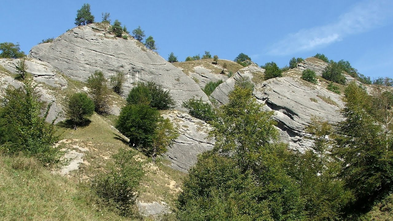
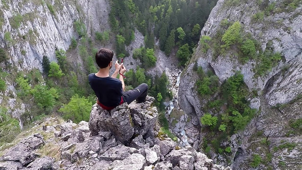
Arutela - Turnu monastery - Rosiei Rocks - Turneanu ridge - Cozia peak - Stone portal - Stanisoara monastery - Gardului waterfall.
Copyright © 2010 - 2025 Trekkingklub.com.
Already published 8983 photos and 180 videos. Please register for full and ad-free access.
Photos of nearby places

Doabra Snail Shells - Brezoi (12 photos) 8.05 km away
Doabra Valley - Calinesti-Brezoi forest - Lotru Valley, Cozia National Park


[ Top ↑ ]
Videos of nearby places
Doabra Stones - Brezoi, Lotru Mountains 7.99 km away
The DN7A road branches off west from the Olt Valley, from the main road between Sibiu and Ramnicu Valcea, leading towards Voineasa and Lake Vidra. The first settlement is a small town, Brezoi, which is located at the confluence of the Lotru and Olt rivers.
The Gorge of the Creek of the Gorge (Cheii Gorge, Cheile Cheii) - Buila-Vanturarita National Park 17.52 km away
The Gorges of the Creek of the Gorge (Cheii Gorge, Cheile Cheii) is located in the Buila-Vanturarita National Park within the Capatana Mountains. It is one of the most beautiful and picturesque gorges in Romania.

Stan Valley Canyon in winter 21.34 km away
The Stan Valley is a picturesque canyon, even in winter. In fact, when the stream is frozen and covered with a layer of snow, exploring the canyon becomes much quicker and easier.

Stan Valley Canyon 22.33 km away
The Stan Valley is located near Lake Vidraru, southwest of it, in the Fruntii Mountains. Those who have visited the Seven Ladders Waterfall will appreciate this canyon, outfitted with infrastructure for tourist accessibility.

Poenari citadel - Arges valley 23.61 km away
The Poenari citadel is located on the southern slope of the Fagaras Mountains, on the western side of the Transfagaras road, in the Arges Valley, about 4 km from the Vidraru Lake dam. Along a steep incline, a concrete staircase leads up to the castle, which is built atop a mountain.
Other places
The Cave of Thieves (Pestera Hotilor, Tolvajos) Apata 115.45 km away
The Cave of Thieves, located in the Olt Gorge at Racos, is situated at the source of the Tepeu creek. From the karst spring that emerges from the cave, one of the branches of the creek originates.
The Cave of Thieves, located in the Olt Gorge at Racos, is situated at the source of the Tepeu creek. From the karst spring that emerges from the cave, one of the branches of the creek originates.
Ski resort Poiana Brasov Postavarul Mountains 99.02 km away
Shining sun and an Austria-feeling on the impeccable slopes of the ski paradise Poiana Brasov above Brasov. Sunbathing, coffee and refreshing drinks on the terrace of Julius Römer chalet.
Shining sun and an Austria-feeling on the impeccable slopes of the ski paradise Poiana Brasov above Brasov. Sunbathing, coffee and refreshing drinks on the terrace of Julius Römer chalet.
Lonely Stone (Piatra Singuratica) Hasmas Mountains 190.21 km away
On June 1, 2003, with a small group of friends, I left Balan, walking along the valley of the Sep (Beautiful) stream towards the Lonely Stone (Piatra Singuratica). Those who were with me at the time fell behind, and then other people joined for the hike.
On June 1, 2003, with a small group of friends, I left Balan, walking along the valley of the Sep (Beautiful) stream towards the Lonely Stone (Piatra Singuratica). Those who were with me at the time fell behind, and then other people joined for the hike.
[ Top ↑ ]
[ Top ↑ ]
Select language: - Magyar - Romana - Copyright © 2003-2025 Trekkingklub and friends. Reproduction of any text, picture or video from this website, either in printed or electronic form, is prohibited without prior written permission. The given distances are to be understood as straight line distances, and are approximate. Website made in Miercurea Ciuc