Sumuleu-Ciuc in winter | Video
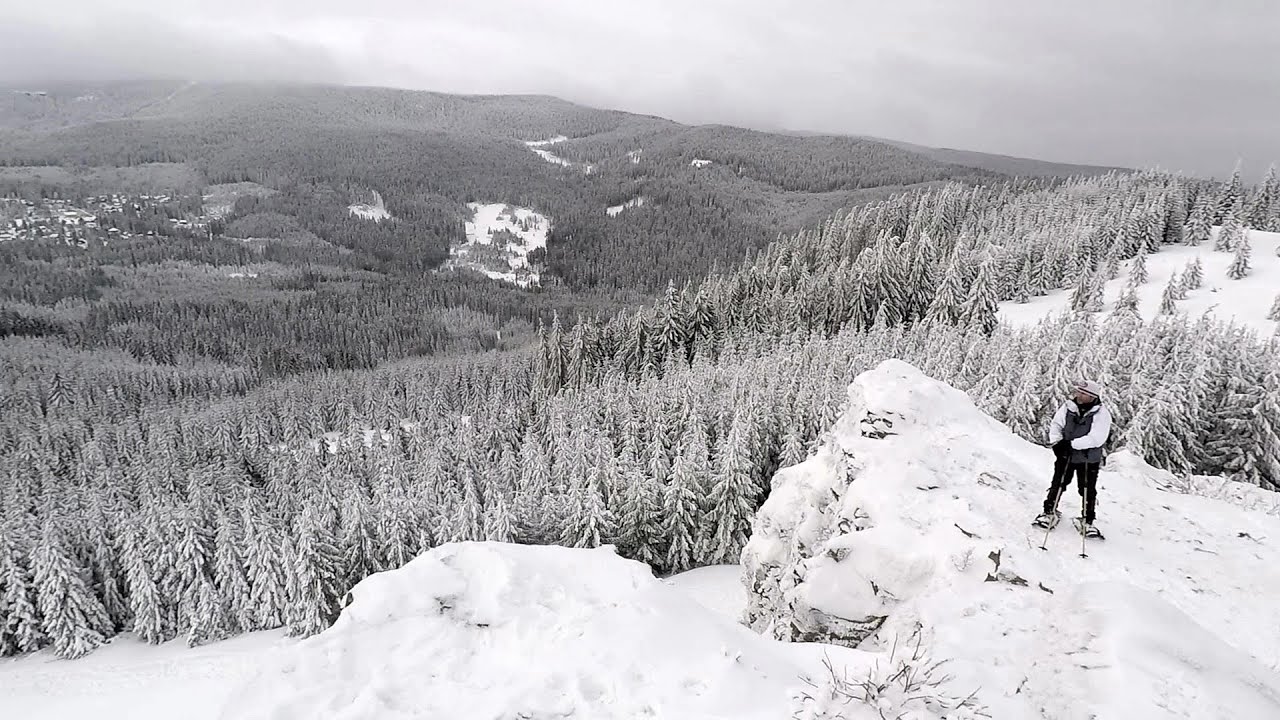
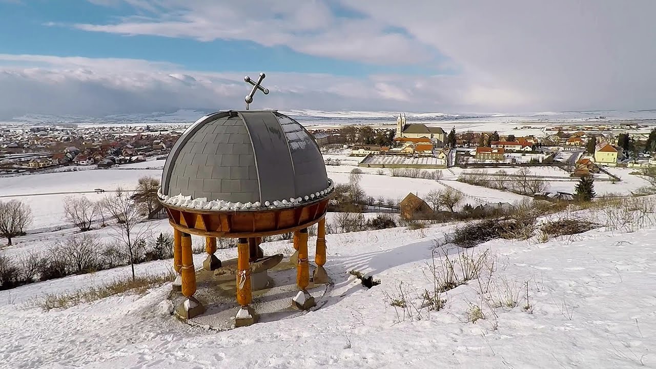
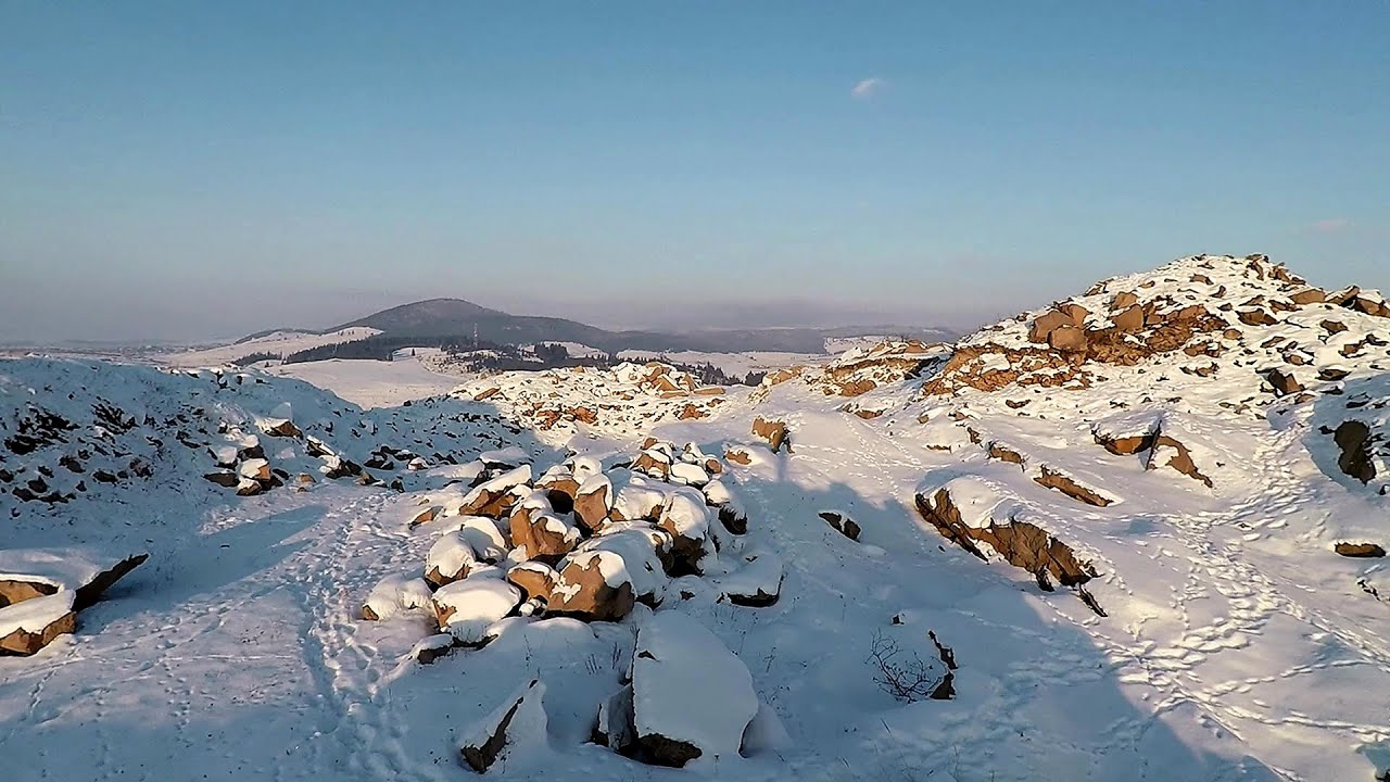
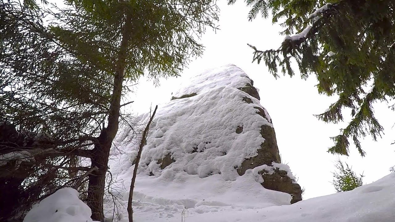
Sumuleu-Ciuc (Csíksomlyó) in winter.
Filmed with GoPro HERO5 Black. Music: Silent Night by Dexter Britain. Copyright © 2018 - 2026 Geo Trekker Videos. Please register for full and ad-free access.
Airport nearby: Ghimbav International Airport (GHV - Brașov (Ghimbav), Ro), 78 km away.
Photos of nearby places

Ruins of the Harom fortress - Jigodin Bath (10 photos) 7.6 km away. The Harom Fortress was built around the beginning of the 12th century and was part of the system of fortifications that protected Transylvania from the east. It is located south of Miercurea Ciuc, east of Harom Peak, which has an altitude of 1079 m, near the southwestern limits of Jigodin Bath (Baile Jigodin).

The sources of the river Trotus - Fagetel (10 photos) 14.4 km away. Fagetel, Piposz property, The sources of the river Trotus (Tatros).

Harghita Bath - Harghita Mountains (15 photos) 15.9 km away. Harghita Bath (Harghita-Bai) - Harghita Mountains.
[ Top ↑ ]
Videos of nearby places

Walking to the top of Sumuleul Mare - Sumuleu Ciuc 0.4 km away. This was my first attempt at shooting a video.

Nobodys lake - Miercurea Ciuc 6.6 km away. The passage of time (time lapse), dusk at Nobody's Lake. Miercurea Ciuc and the Sumuleu mountain can be seen in the background.

Kossuth Rock - Harghita Bath 14.1 km away. Kossuth Rock - Harghita Bath (Harghita-Bai), Harghita Mountains.
Other places
Stan Valley Canyon in winter 147.6 km away. The Stan Valley is a picturesque canyon, even in winter. In fact, when the stream is frozen and covered with a layer of snow, exploring the canyon becomes much quicker and easier.
Loreley and Pink Panther iron path Baia de Fier 208.2 km away. The Loreley via ferrata (graded B/C, with an elevation difference of approximately 100 m and a length of about 100 m) is located on the rock wall on the opposite side of the road. A branch from its upper section leads to the Pink Panther (Pantera Roz, graded A/B/C, approximately 200 meters long, with an elevation difference of about 50 meters).
Acapulcos spur via ferrata 259.3 km away. Acapulco's spur (Pintenul lui Acapulco) via ferrata (B/C) - Montana Land, Suncuius.
Stan Valley Canyon 147.1 km away. The Stan Valley is located near Lake Vidraru, southwest of it, in the Fruntii Mountains. Those who have visited the Seven Ladders Waterfall will appreciate this canyon, outfitted with infrastructure for tourist accessibility.
Kaya Bunar Hotnitsa 359.8 km away. The Kaya Bunar Waterfall (Hotnishki Vodopadi, Hotnitsa Waterfall) is located 20 km from the city of Veliko Tarnovo in Bulgaria. The waterfall is 30 meters high, and there are several smaller cascades above it.
Pisoaia waterfall Vidra 227.5 km away. Pisoaia waterfall (Pisoaia Vidrii, Urine of the otter) - Nemesi, Vidra.
The Bears Jump iron path Baia de Fier 208.4 km away. The Bear's Jump (Saritoarea Ursului) is a fantasy-named via ferrata that opened in May 2018 near Baia de Fier, alongside the Middle Belt (Spirala Medie). Both routes begin from the G zone of the rock face that conceals the Women's Cave (Pestera Muierilor).
Bovska Skaklya waterfall Iskar gorge 420.8 km away. The Bovska Skaklya waterfall is located near the town of Svoge in Bulgaria. The waterfall formed on the Zaselska River has several reported heights online (120 m, 85 m).
Crystal Cave at Farcu Mine 265.8 km away. In the Padurea Craiului Mountains, near Rosia, in the Farcu bauxite mine, in 1987, the miners accidentally discovered a cave. It was filled with crystal-shaped limestone formations.
Deubels path Piatra Craiului Mountains 106.3 km away. Deubels path - Piatra Craiului Mountains (Kings Rock).
Ladys Stones Rarau Mountains 121.3 km away. The Lady's Stones represent the heart, the mind, and the soul. The first two only help to understand the world when one possesses knowledge (they can be climbed with rock climbing gear), as emotions and thoughts (the two rock towers) obscure reality (the view).
Transylvania A3 Highway Viaduct- Suplacu de Barcau 270.6 km away.
Clocota waterfall Geoagiu-Bai, Metaliferi Mountains 211.6 km away.
Poenari citadel Arges valley 146.9 km away. The Poenari citadel is located on the southern slope of the Fagaras Mountains, on the western side of the Transfagaras road, in the Arges Valley, about 4 km from the Vidraru Lake dam. Along a steep incline, a concrete staircase leads up to the castle, which is built atop a mountain.
Prohodna cave Karlukovo 381.9 km away. The Prohodna cave nicknamed The Eyes of God is located in Bulgaria, in the Iskar Gorge, on one of the largest karst areas in Bulgaria, 2 km from the town of Karlukovo. It is essentially a 262-meter-long natural stone bridge, with a large (45 m high) and a small (35 m high) entrance.
[ Top ↑ ]
Copyright © 2003-2026 Trekkingklub and friends. Reproduction of any text, picture or video from this website, either in printed or electronic form, is prohibited without prior written permission.
The given distances are to be understood as straight line distances, and are approximate. Website made in Miercurea Ciuc  .
.
 .
.


