Duruitoarea waterfall - Ceahlau Mountains | Photos


Page no. 1, photos: 1-5, 5 photos in total.

Copyright © 2004 - 2025 Trekkingklub.com.
Already published 8983 photos and 180 videos. Please register for full and ad-free access.
Photos of nearby places


[ Top ↑ ]
Videos of nearby places
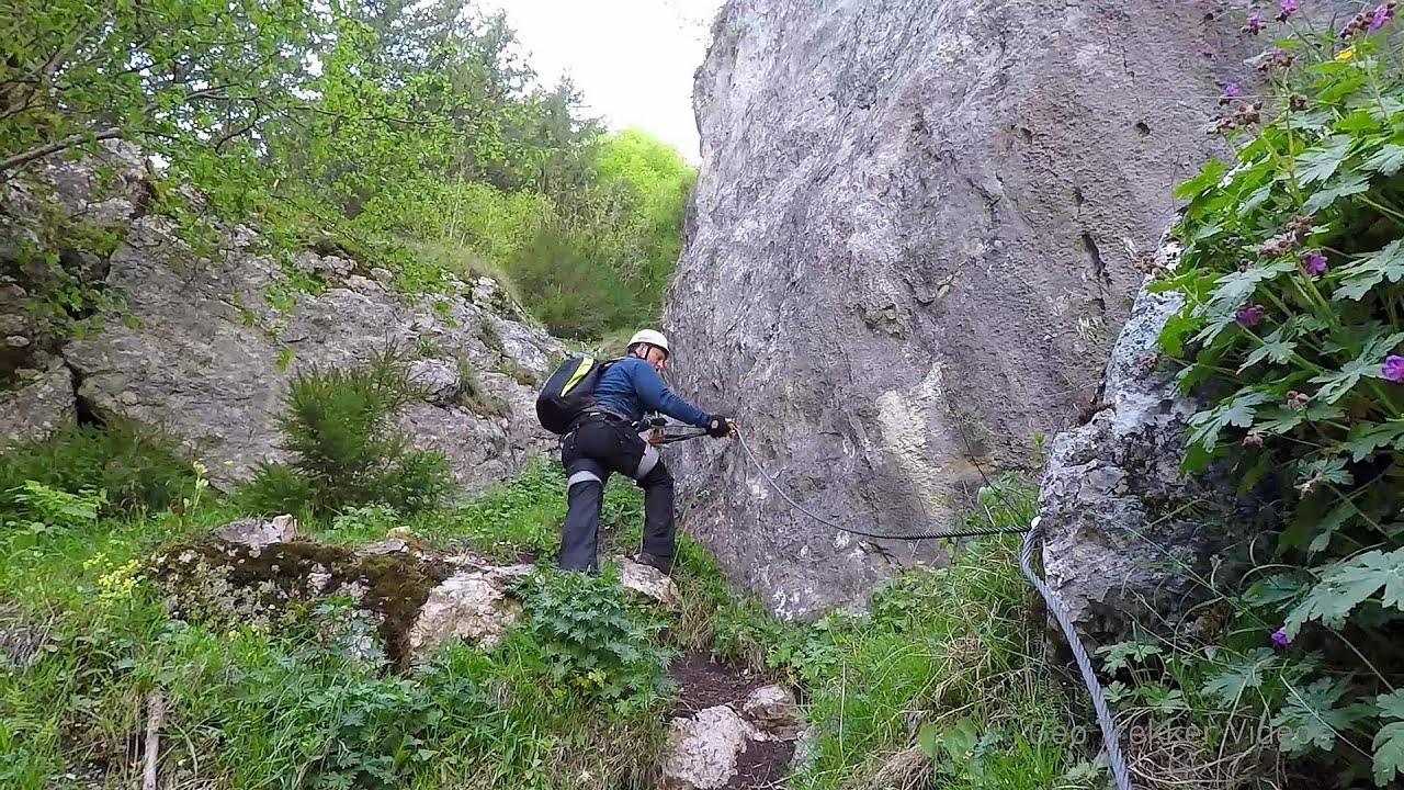
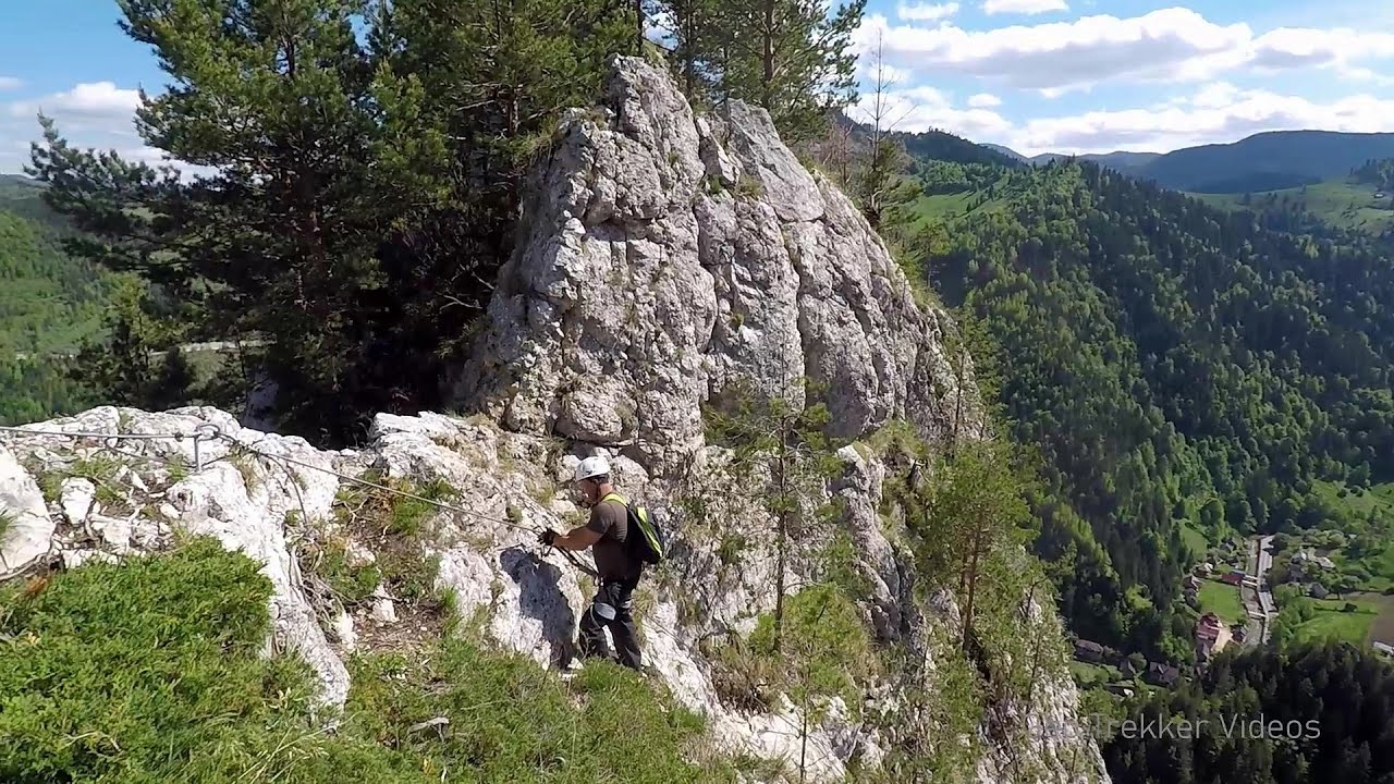
Sugau Rock lookout point and iron path (B/C) 17.48 km away
Sugau Rock lookout point and iron path (B/C). Sugau Gorges - Munticelu Nature Reserve, Hasmas Mountains.

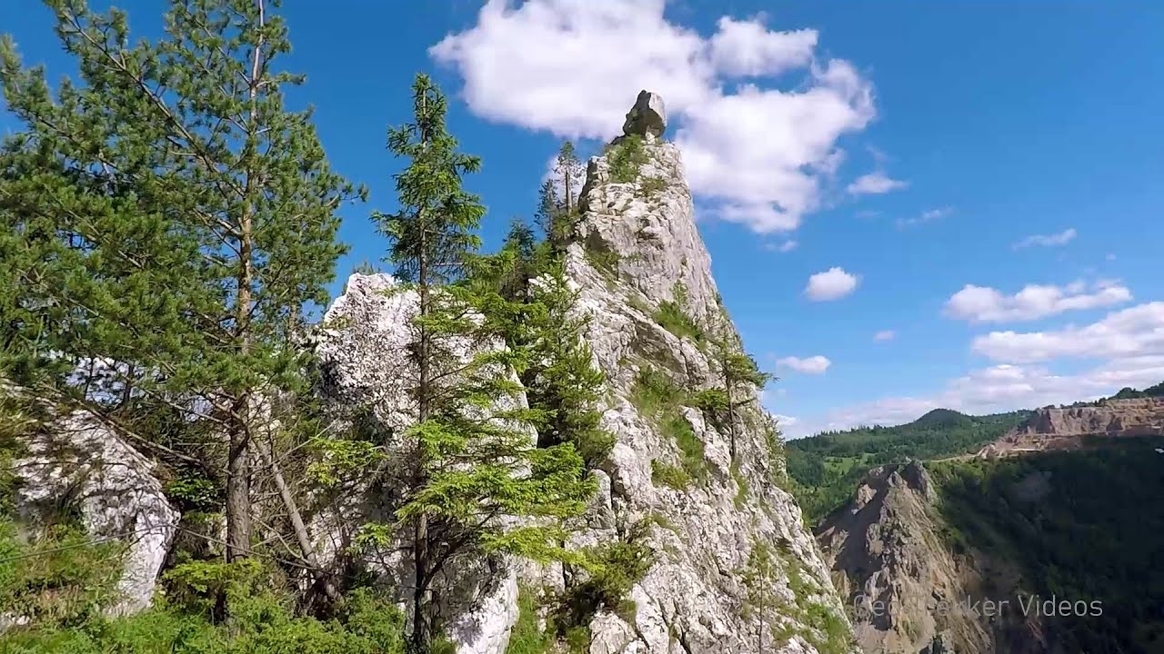
Astragalus iron path in winter - Glod Stone, Munticelu 17.49 km away
The official website of the Sugau Gorge published information about a new via ferrata climbing route named Astragalus. Sugau Gorges - Munticelu is a nature conservation area part of Natura 2000 located in Neamt County, which borders Harghita County.

Other places
Hili's cave Turda Gorge via ferrata 177.78 km away
While the first time I climbed this via ferrata (Sky Fly) in the morning, now I climbed it in the light of the setting sun. The red-dressed rocks created a special atmosphere, and I could admire the sunset from the top of the climbing route.
While the first time I climbed this via ferrata (Sky Fly) in the morning, now I climbed it in the light of the setting sun. The red-dressed rocks created a special atmosphere, and I could admire the sunset from the top of the climbing route.
Hot air balloon parade 2015 Campu Cetatii 78.59 km away
This year, the Hot Air Balloon Parade was organized in Campu Cetatii for the tenth time. Unfortunately, the weather only allowed for flying on Saturday morning and evening.
This year, the Hot Air Balloon Parade was organized in Campu Cetatii for the tenth time. Unfortunately, the weather only allowed for flying on Saturday morning and evening.
Doabra Stones Brezoi, Lotru Mountains 222.04 km away
The DN7A road branches off west from the Olt Valley, from the main road between Sibiu and Ramnicu Valcea, leading towards Voineasa and Lake Vidra. The first settlement is a small town, Brezoi, which is located at the confluence of the Lotru and Olt rivers.
The DN7A road branches off west from the Olt Valley, from the main road between Sibiu and Ramnicu Valcea, leading towards Voineasa and Lake Vidra. The first settlement is a small town, Brezoi, which is located at the confluence of the Lotru and Olt rivers.
Middle Belt (Spirala Medie) via ferrata route Baia de Fier 259.8 km away
In May 2018, two new via ferrata routes were inaugurated in Baia de Fier. Both start from section G of the rock face hiding the Women's Cave (Pestera Muierilor), and their initial stages are shared.
In May 2018, two new via ferrata routes were inaugurated in Baia de Fier. Both start from section G of the rock face hiding the Women's Cave (Pestera Muierilor), and their initial stages are shared.
[ Top ↑ ]
[ Top ↑ ]
Copyright © 2003-2025 Trekkingklub and friends. Reproduction of any text, picture or video from this website, either in printed or electronic form, is prohibited without prior written permission.
The given distances are to be understood as straight line distances, and are approximate. Website made in Miercurea Ciuc  .
.