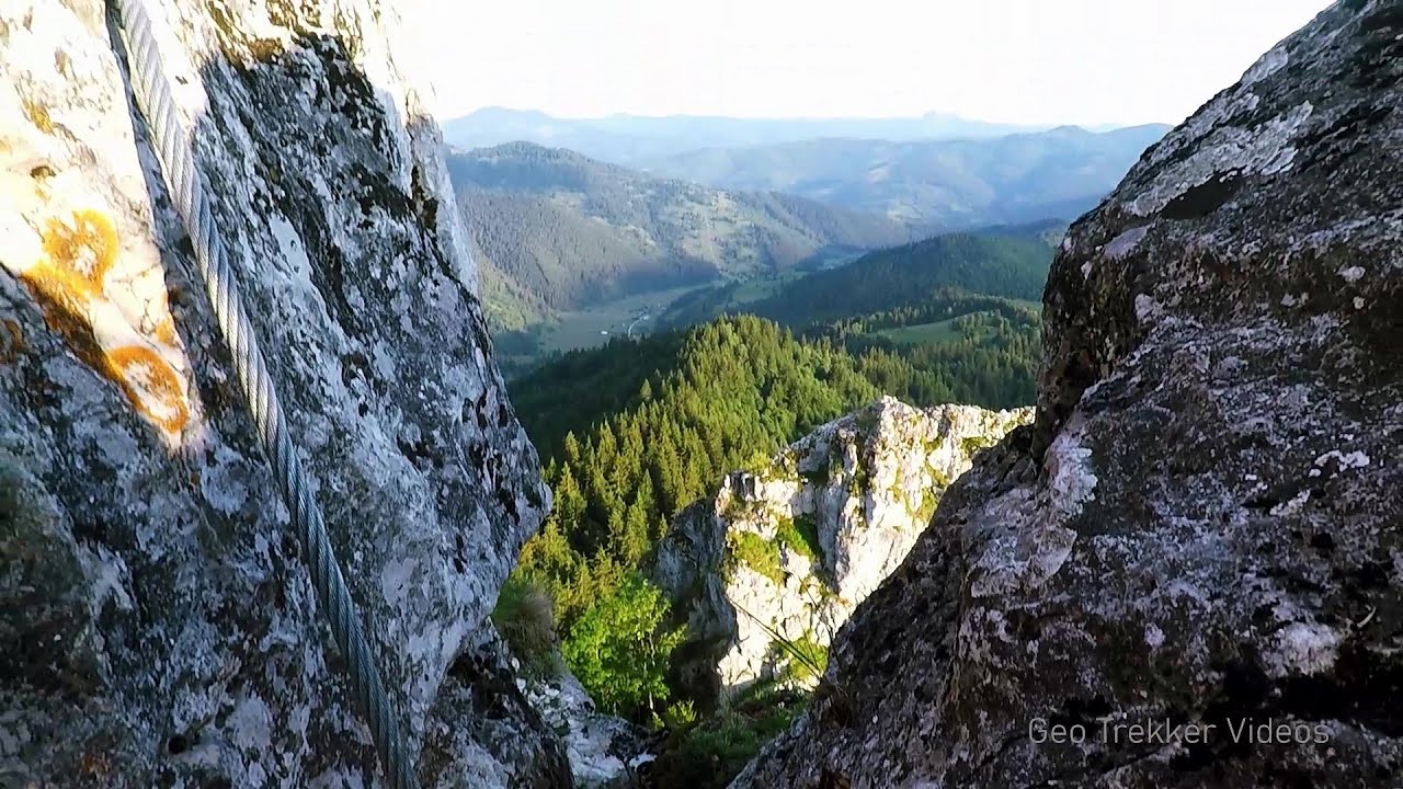
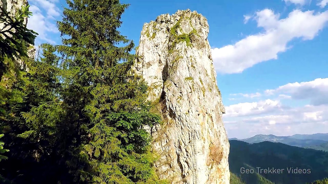
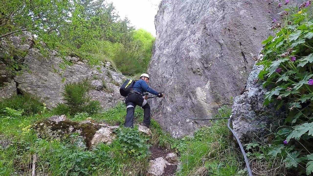
Runcului Stone - Tulghes | Photos


Page no. 1, photos: 1-10, 12 photos in total. >>>

Copyright © 2011 - 2025 Trekkingklub.com.
Already published 8983 photos and 180 videos. Please register for full and ad-free access.
Photos of nearby places


The Valleys of the Streams of the Cups (Cupelor, Kupás) and Rogozu (Szacskai) - Borsec (6 photos) 12.09 km away
September 7, 2003; September 14, 2003; November 10, 2007.


Stalactite Cave - Round Chair Hill, Borsec, Giurgeu Mountains (24 photos) 15 km away
The Stalactite Cave on the Round Chair Hill is the longest cave formed in travertine in the country. Its formation was mainly influenced by an open system of diaclases, which fragmented the travertine, with the contribution of infiltrated rainwater being essential in the transport and dissolution of limestone.
[ Top ↑ ]
Videos of nearby places

Falco Tinnunculus (Common kestrel) via ferrata (E), the ascent - Falcon's Rock, Corbu 6.48 km away
Over Corbu village in Harghita County, on the rocks of Falcon's Rock (Piatra Soimilor), which belong to the Bistrita Mountains, five via ferrata routes have been established. In November 2019, the first three routes of the Falcon's Rock via ferrata were complemented with two additional ones, featuring a roughly 15-meter hanging bridge and a 15-meter-high iron ladder.

Via ferrata Bear Cave adventure and climbing zone - Borsec 15.4 km away
The Bear Cave in Borsec is a vast natural formation, scattered with rocks and deep crevices. Access to the cave's cavities is through a series of narrow formations resembling canyons, surrounded by giant fir trees and rocks with interesting shapes.
Other places
Iron path in winter Harghita Madaras 60.83 km away
This is already the sixth time I've climbed the via ferrata route set up on the rocky cliffs of Seii Peak near Harghita Madaras. Although the forecast suggests that the weather should be nice, I am greeted by a sky covered in clouds.
This is already the sixth time I've climbed the via ferrata route set up on the rocky cliffs of Seii Peak near Harghita Madaras. Although the forecast suggests that the weather should be nice, I am greeted by a sky covered in clouds.
Womens Spiral, Cave Ridge, and The Great Crack iron paths Baia de Fier 252.7 km away
Perhaps the most interesting via ferrata among the routes in the Baia de Fier area is the Womens Spiral. After completing it, I can say that it is the second most thrilling via ferrata in Romania, following the Big Via Ferrata at Rasnov.
Perhaps the most interesting via ferrata among the routes in the Baia de Fier area is the Womens Spiral. After completing it, I can say that it is the second most thrilling via ferrata in Romania, following the Big Via Ferrata at Rasnov.
Banita Gorge and Banita rock bridge 254.65 km away
They say about this place that only very few people know about it, but that's not true. In fact, most nature lovers have heard of it, seen pictures taken here, even if not everyone has been able to come here.
They say about this place that only very few people know about it, but that's not true. In fact, most nature lovers have heard of it, seen pictures taken here, even if not everyone has been able to come here.
The Bear's Jump iron path Baia de Fier 252.74 km away
The Bear's Jump (Saritoarea Ursului) is a fantasy-named via ferrata that opened in May 2018 near Baia de Fier, alongside the Middle Belt (Spirala Medie). Both routes begin from the G zone of the rock face that conceals the Women's Cave (Pestera Muierilor).
The Bear's Jump (Saritoarea Ursului) is a fantasy-named via ferrata that opened in May 2018 near Baia de Fier, alongside the Middle Belt (Spirala Medie). Both routes begin from the G zone of the rock face that conceals the Women's Cave (Pestera Muierilor).
Pietraru pottery Horezu 245.84 km away
[ Top ↑ ]
[ Top ↑ ]
Select language: - Magyar - Romana - Copyright © 2003-2025 Trekkingklub and friends. Reproduction of any text, picture or video from this website, either in printed or electronic form, is prohibited without prior written permission. The given distances are to be understood as straight line distances, and are approximate. Website made in Miercurea Ciuc