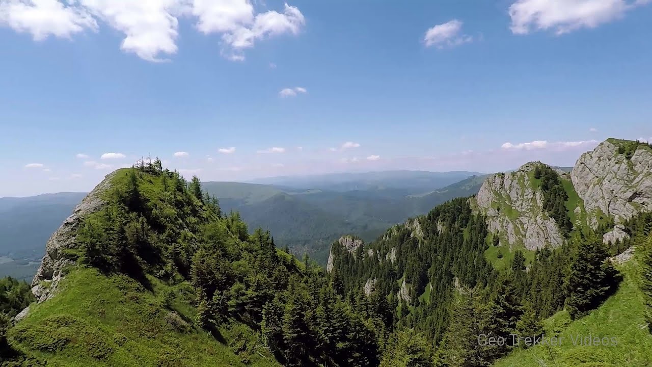
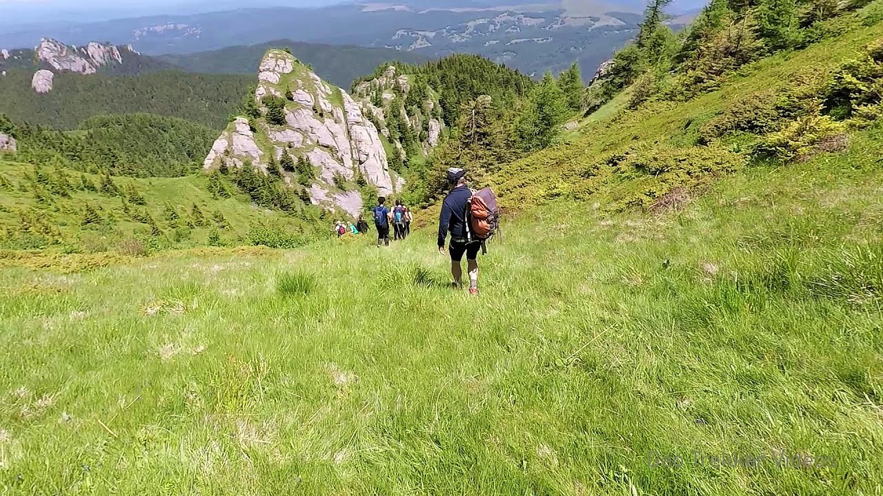
Muntele Rosu (Red Mountain) - Ciucas Mountains | Photos


Page no. 1, photos: 1-10, 12 photos in total. >>>

Copyright © 2005 - 2025 Trekkingklub.com.
Already published 8983 photos and 180 videos. Please register for full and ad-free access.
Photos of nearby places


Devil's Hand Rock - Ciucas Mountains (30 photos) 7.72 km away
Dalghiu - Devil's Hand Rock - Ciucas peak - Vama Buzaului


[ Top ↑ ]
Videos of nearby places
Searching for rhododendrons - Ciucas Boulevard 0.84 km away
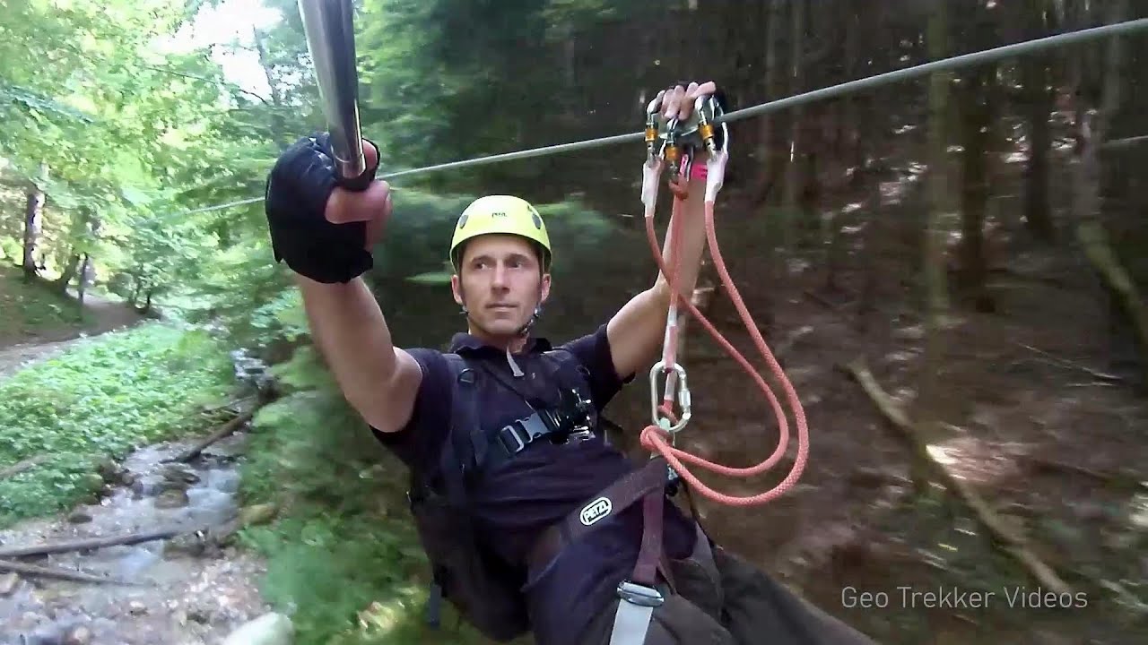
Red Mountain (Muntele Rosu), Gropsoarele-Zaganu ridge - Ciucas Mountains
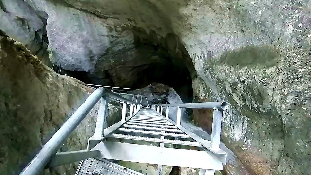
Seven Ladder Canyon and Waterfall - Piatra Mare Mountain 25.83 km away
The Seven Ladder Gorge is the largest and most spectacular gorge in the Piatra Mare massif. The narrow canyon has a length of 160 meters, and over a drop of 58 meters includes 7 bigger and several smaller waterfalls.
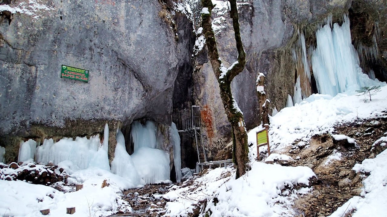
Seven Ladder Canyon in Winter - Piatra Mare Mountain 25.94 km away
Seven Ladder Canyon and Waterfall in Winter - Piatra Mare Mountain
Other places
Ramet Gorge (Cheile Rametului) Goagiu Creek (Paraul Goagiu), Trascau Mountains 212.06 km away
The Ramet Gorge is the wildest canyon in the Trascau Mountains. Where the valley of the Ramet (Goagiu) Creek is now, there once was an extensive cave system.
The Ramet Gorge is the wildest canyon in the Trascau Mountains. Where the valley of the Ramet (Goagiu) Creek is now, there once was an extensive cave system.
Suspension bridge Aries river, Salciua de Sus 224.61 km away
With snowshoes in the Tihu creek valley Rastolita 189.12 km away
We met geotrekking treasure hunters from Gheorgheni, Miercurea Ciuc and Targu Mures in Rastolita. We entered the Calimani Mountains with an off-road vehicle, along the Rastolita and Tihu streams.
We met geotrekking treasure hunters from Gheorgheni, Miercurea Ciuc and Targu Mures in Rastolita. We entered the Calimani Mountains with an off-road vehicle, along the Rastolita and Tihu streams.
Byala Reka eco-trail Kalofer 325.75 km away
The Byala Reka eco-trail is situated at the foot of the Stara Planina mountain range, 8 km from the town of Kalofer. A 1,830-meter-long hiking trail has been established along the White Creek within the Central Balkan National Park.
The Byala Reka eco-trail is situated at the foot of the Stara Planina mountain range, 8 km from the town of Kalofer. A 1,830-meter-long hiking trail has been established along the White Creek within the Central Balkan National Park.
[ Top ↑ ]
[ Top ↑ ]
Select language: - Magyar - Romana - Copyright © 2003-2025 Trekkingklub and friends. Reproduction of any text, picture or video from this website, either in printed or electronic form, is prohibited without prior written permission. The given distances are to be understood as straight line distances, and are approximate. Website made in Miercurea Ciuc