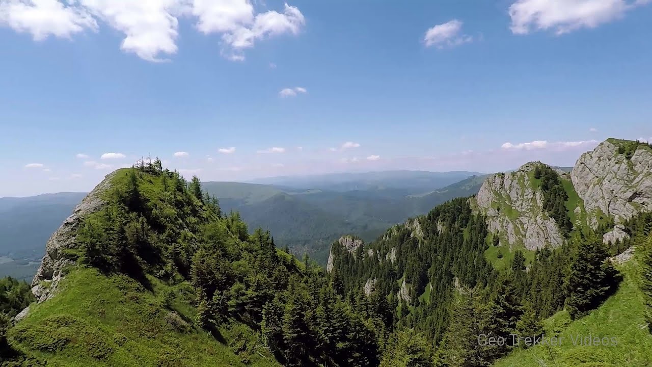
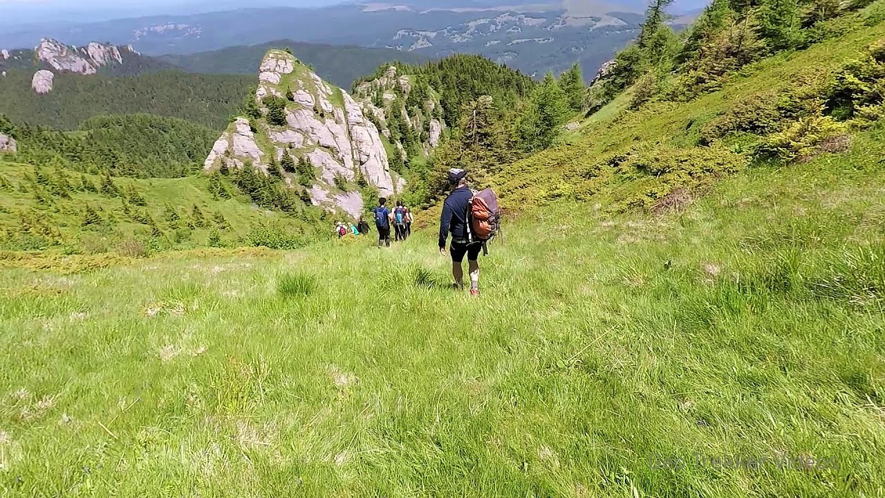
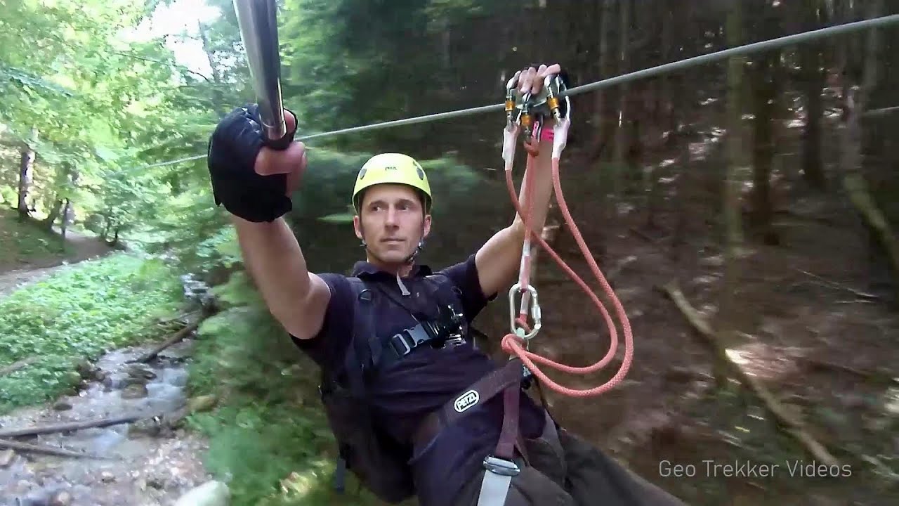
Tigaile Mari, Ciucas Peak - Ciucas Mountains | Photos


Page no. 1, photos: 1-10, 24 photos in total. >>>

Copyright © 2005 - 2025 Trekkingklub.com.
Already published 8983 photos and 180 videos. Please register for full and ad-free access.
Photos of nearby places


Devil's Hand Rock - Ciucas Mountains (30 photos) 6.68 km away
Dalghiu - Devil's Hand Rock - Ciucas peak - Vama Buzaului


[ Top ↑ ]
Videos of nearby places
Searching for rhododendrons - Ciucas Boulevard 4.26 km away
Red Mountain (Muntele Rosu), Gropsoarele-Zaganu ridge - Ciucas Mountains
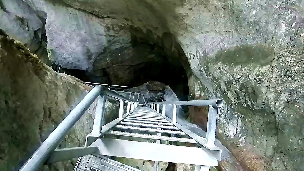
Seven Ladder Canyon and Waterfall - Piatra Mare Mountain 22.55 km away
The Seven Ladder Gorge is the largest and most spectacular gorge in the Piatra Mare massif. The narrow canyon has a length of 160 meters, and over a drop of 58 meters includes 7 bigger and several smaller waterfalls.
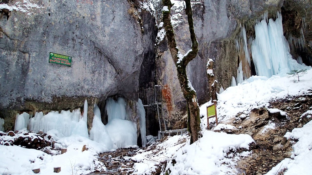
Seven Ladder Canyon in Winter - Piatra Mare Mountain 22.65 km away
Seven Ladder Canyon and Waterfall in Winter - Piatra Mare Mountain
Other places
Stone Forest (Stones stuck in the ground, Pobiti Kamani) Slanchevo 291.54 km away
The Stone Forest of Bulgaria is located 18 km west of Varna, at the foothills of the Eastern Balkan Mountains. Its Bulgarian name, Pobiti Kamani, translates to planted stones, and it is referred to in English as the Stone Desert or Stone Forest.
The Stone Forest of Bulgaria is located 18 km west of Varna, at the foothills of the Eastern Balkan Mountains. Its Bulgarian name, Pobiti Kamani, translates to planted stones, and it is referred to in English as the Stone Desert or Stone Forest.
Wind's iron path (Via ferrata Vanturilor, D) Baia de Fier 173.58 km away
The Wind's iron path (Via ferrata Vanturilor) is the via ferrata route number 11 in the Baia de Fier - Polovragi area. The sign at the base of the route was installed on February 9, 2020.
The Wind's iron path (Via ferrata Vanturilor) is the via ferrata route number 11 in the Baia de Fier - Polovragi area. The sign at the base of the route was installed on February 9, 2020.
Ski Gyimes ski slope Lunca de Sus 111.12 km away
The Ski Gyimes ski slope is located in Lunca de Sus, right next to the main road. It is 800 m long, the level difference is 160 m.
The Ski Gyimes ski slope is located in Lunca de Sus, right next to the main road. It is 800 m long, the level difference is 160 m.
Little Spiral via ferrata Baia de Fier 173.62 km away
Transalpina Ski Resort Vidra lake 173.58 km away
[ Top ↑ ]
[ Top ↑ ]
Select language: - Magyar - Romana - Copyright © 2003-2025 Trekkingklub and friends. Reproduction of any text, picture or video from this website, either in printed or electronic form, is prohibited without prior written permission. The given distances are to be understood as straight line distances, and are approximate. Website made in Miercurea Ciuc