Devil's Hand Rock - Ciucas Mountains - photos


Page no. 1, photos: 1-8, 30 photos in total. >>>

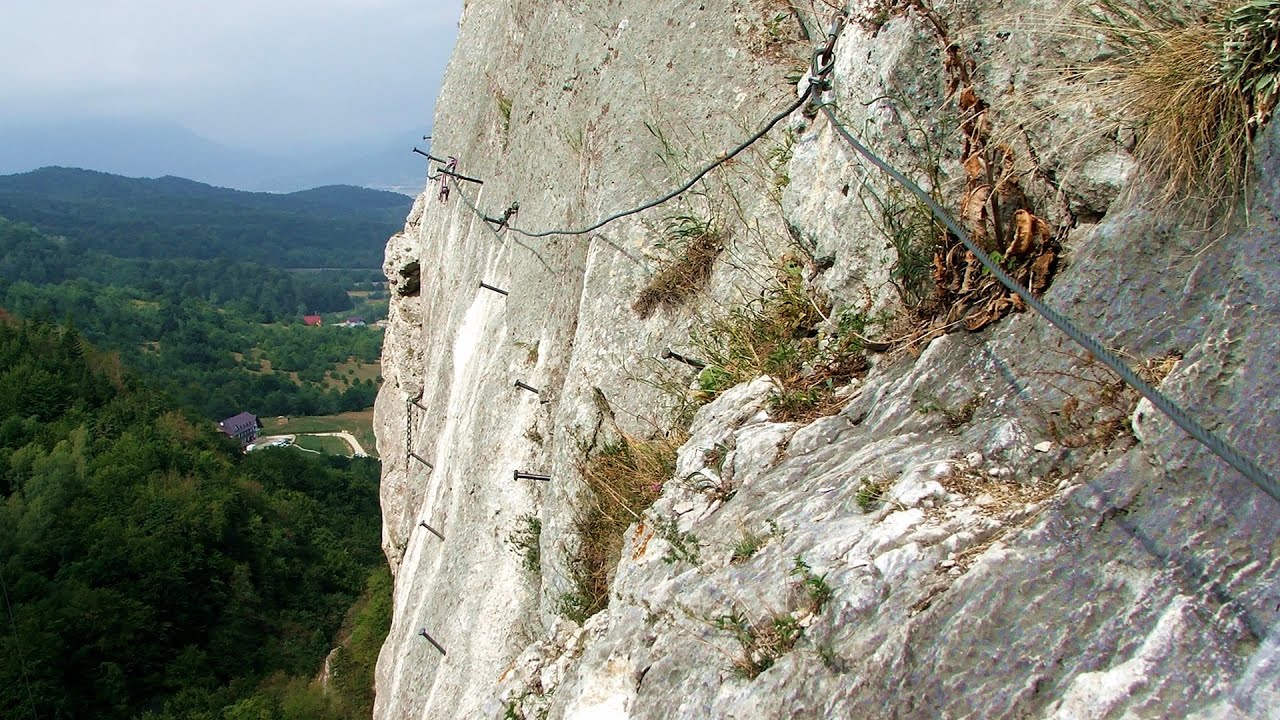
Dalghiu - Devil's Hand Rock - Ciucas peak - Vama Buzaului
Copyright © 2010 - 2025 Trekkingklub.com.
Already published 8749 photos and 139 videos. Please register for full access.
Photos of nearby places


[ Top ↑ ]
Videos of nearby places
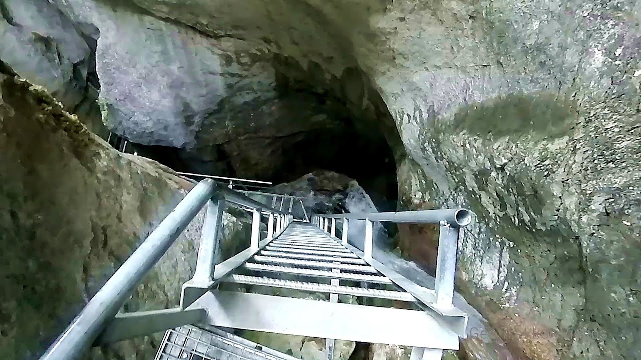
Seven Ladder Canyon and Waterfall - Piatra Mare Mountain 26.44 km away
The Seven Ladder Gorge is the largest and most spectacular gorge in the Piatra Mare massif. The narrow canyon has a length of 160 meters, and over a drop of 58 meters includes 7 bigger and several smaller waterfalls.
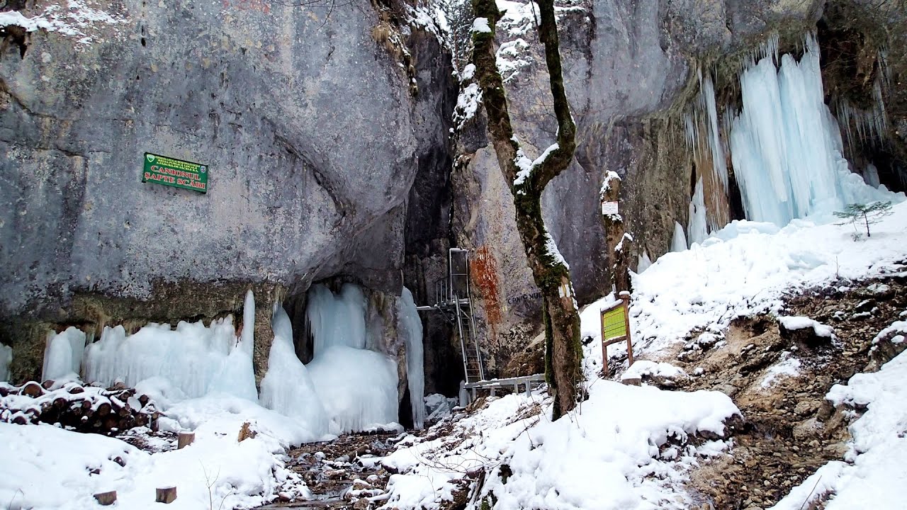
Seven Ladder Canyon in Winter - Piatra Mare Mountain 26.52 km away
Seven Ladder Canyon and Waterfall in Winter - Piatra Mare Mountain
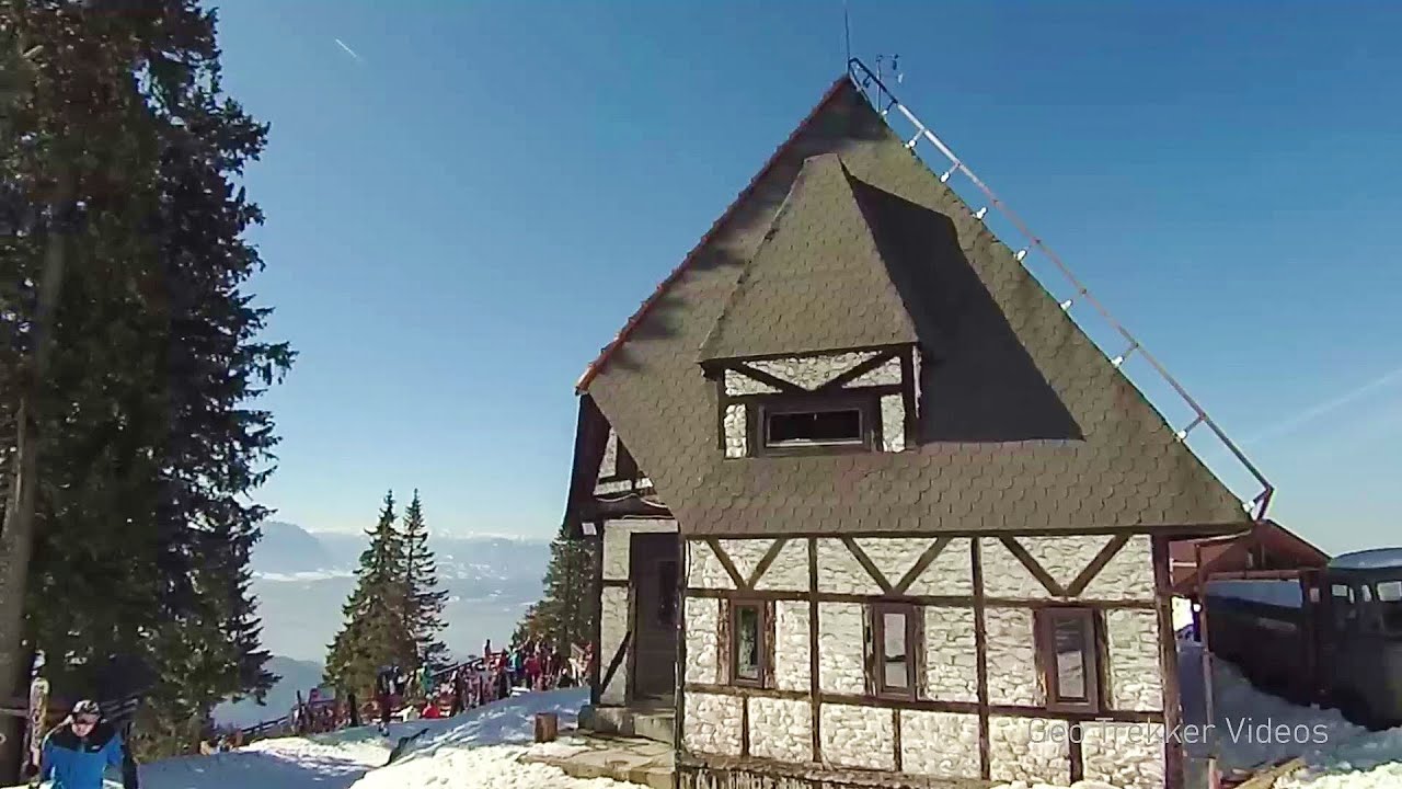
Ski resort - Poiana Brasov - Postavarul Mountains 33.43 km away
Shining sun and an Austria-feeling on the impeccable slopes of the ski paradise Poiana Brasov above Brasov. Sunbathing, coffee and refreshing drinks on the terrace of Julius Römer chalet.
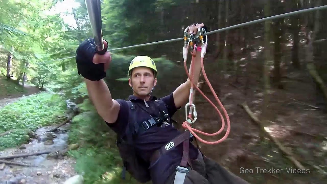
Big Via ferrata Rasnoavei Gorge 36.36 km away
The most dangerous Eastern European iron path, and also one of the most beautiful via ferrata routes in Romania, is in the Rasnoavei Gorges, Postavaru Mountains.The route is 450 m long, with a level difference of 220 m.
Other places
Muierii Cave (Pestera Muierilor) Baia de Fier 179.06 km away
We visited the Baia de Fier area, and climbed on the rock that also conceals the Women's Cave (Pestera Muierilor). Between two via ferrata routes, we also participated in one of the guided cave tours, which depart every hour.
We visited the Baia de Fier area, and climbed on the rock that also conceals the Women's Cave (Pestera Muierilor). Between two via ferrata routes, we also participated in one of the guided cave tours, which depart every hour.
Mürren-Gimmelwald Klettersteig Switzerland 1396.86 km away
The Mürren-Gimmelwald Klettersteig is a relatively new via ferrata route in Switzerland, located in the Lauterbrunnen Valley. It is moderately difficult, but incredibly scenic.
The Mürren-Gimmelwald Klettersteig is a relatively new via ferrata route in Switzerland, located in the Lauterbrunnen Valley. It is moderately difficult, but incredibly scenic.
Via ferrata Adventure Climb Varmost Forni di Sopra, Cima Clap Varmost, Alpi Carniche 1039.61 km away
I participated in a joint, Szekler-Italian 'military exercise' :-) on the Adventure Climb Varmost via ferrata. The iron climbing route is located in the Friuli-Venezia Giulia region, in the Carnic Alps, and it leads up to the summit of Clap Varmost above Forni di Sopra.
I participated in a joint, Szekler-Italian 'military exercise' :-) on the Adventure Climb Varmost via ferrata. The iron climbing route is located in the Friuli-Venezia Giulia region, in the Carnic Alps, and it leads up to the summit of Clap Varmost above Forni di Sopra.
Pricske peak Giurgeu Mountains 139.57 km away
If we want to reach Pricske (Prisca) peak, which rises above Gheorgheni and Lazarea, we start from the valley of the Güdüc (Ghidut) stream. Our path leads us past the ruins of a building known as the White House.
If we want to reach Pricske (Prisca) peak, which rises above Gheorgheni and Lazarea, we start from the valley of the Güdüc (Ghidut) stream. Our path leads us past the ruins of a building known as the White House.
Waterfalls of Velnita stone-quarry Targu Ocna 88.91 km away
Starting from the Velnita quarry, an adventurous nature enthusiast, accustomed to wild and rugged terrains, will discover a true waterfall paradise. At the upper part of the quarry, two streams converge.
Starting from the Velnita quarry, an adventurous nature enthusiast, accustomed to wild and rugged terrains, will discover a true waterfall paradise. At the upper part of the quarry, two streams converge.
[ Top ↑ ]
[ Top ↑ ]
Copyright © 2003-2025 Trekkingklub and friends. Reproduction of any text, picture or video from this website, either in printed or electronic form, is prohibited without prior written permission. Nearby settlements: Vama Buzaului 3.48 km away, Tourist attractions near Vama Buzaului 3.48 km away. The given distances are to be understood as straight line distances, and are approximate. Website made in Miercurea Ciuc  .
.