Ruines of Vityal fortress - Gurghiu Mountains | Photos


Page no. 1, photos: 1-10, 15 photos in total. >>>

Copyright © 2010 - 2025 Trekkingklub.com.
Already published 8983 photos and 180 videos. Please register for full and ad-free access.
Photos of nearby places


[ Top ↑ ]
Videos of nearby places

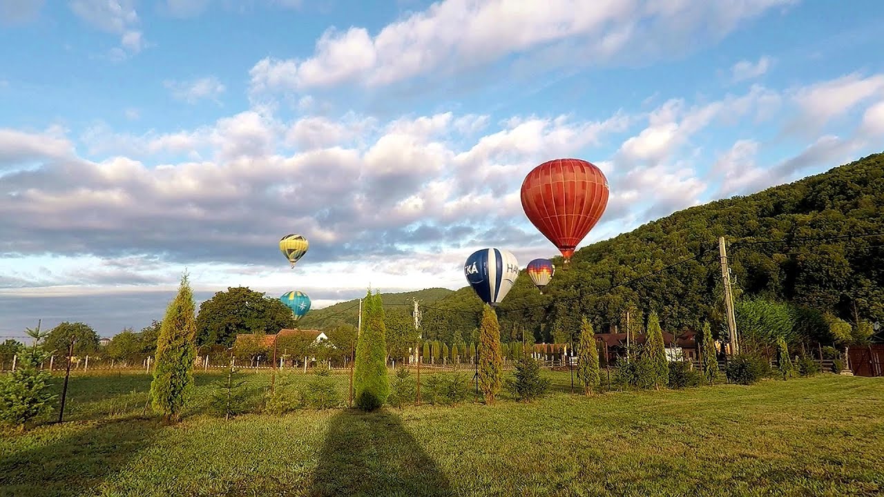
Hot air balloon parade 2015 - Campu Cetatii 4.4 km away
This year, the Hot Air Balloon Parade was organized in Campu Cetatii for the tenth time. Unfortunately, the weather only allowed for flying on Saturday morning and evening.
Hot Air Balloon Parade 2018 - Campu Cetatii 4.4 km away
This year, the hot air balloons flew low over Campu Cetatii. The weather did not really favor the parade.

The Heart of Jesus look-out - Lupeni 40.12 km away
Through the mud on Gordon Mountain, above Farkaslaka (Lupeni commune, Harghita county, Transilvania), on a cloudy afternoon, at the end of February. The destination is the Heart of Jesus lookout, nicknamed as Pléhkrisztus (The Tin Christ).

With snowshoes in the Tihu creek valley - Rastolita 46.85 km away
We met geotrekking treasure hunters from Gheorgheni, Miercurea Ciuc and Targu Mures in Rastolita. We entered the Calimani Mountains with an off-road vehicle, along the Rastolita and Tihu streams.

Pricske peak - Giurgeu Mountains 51.56 km away
If we want to reach Pricske (Prisca) peak, which rises above Gheorgheni and Lazarea, we start from the valley of the Güdüc (Ghidut) stream. Our path leads us past the ruins of a building known as the White House.
Other places
Middle Belt (Spirala Medie) via ferrata route Baia de Fier 190.47 km away
In May 2018, two new via ferrata routes were inaugurated in Baia de Fier. Both start from section G of the rock face hiding the Women's Cave (Pestera Muierilor), and their initial stages are shared.
In May 2018, two new via ferrata routes were inaugurated in Baia de Fier. Both start from section G of the rock face hiding the Women's Cave (Pestera Muierilor), and their initial stages are shared.
Zip-line near Seven Ladder Canyon Piatra Mare Mountain 134.12 km away
Wild Ferenc memorial path Suhardul Mic 65.17 km away
In recent days, this news has been everywhere: the via ferrata route built on the southwest wall of Suhardul Mic (Little Suhard) has finally been completed and inaugurated. The new route has been named after Ferenc Wild, in memory of the former mountain rescuer, sports writer, and one of the founders of the mountain rescue association in Gheorgheni.
In recent days, this news has been everywhere: the via ferrata route built on the southwest wall of Suhardul Mic (Little Suhard) has finally been completed and inaugurated. The new route has been named after Ferenc Wild, in memory of the former mountain rescuer, sports writer, and one of the founders of the mountain rescue association in Gheorgheni.
The Trovants Museum in Winter Costesti 185.5 km away
[ Top ↑ ]
[ Top ↑ ]
Select language: - Magyar - Romana - Deutsch - Français - Italiano - Español - Copyright © 2003-2025 Trekkingklub and friends. Reproduction of any text, picture or video from this website, either in printed or electronic form, is prohibited without prior written permission. The given distances are to be understood as straight line distances, and are approximate. Website made in Miercurea Ciuc