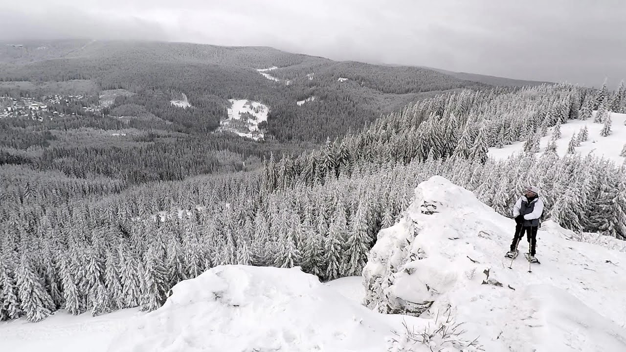
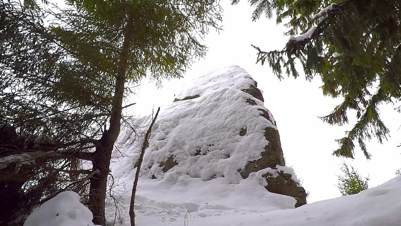
Owl Stone, Harghita Bai - Harghita Mountains | Photos


Page no. 1, photos: 1-10, 12 photos in total. >>>

Copyright © 2009 - 2025 Trekkingklub.com.
Already published 8983 photos and 180 videos. Please register for full and ad-free access.
Photos of nearby places


[ Top ↑ ]
Videos of nearby places

TV-radio amplifying station - Harghita Ciceu 0.59 km away
The hiking trail marked with a blue stripe starts at the Uz Bence shelter and runs from Harghita-Bai to Harghita Madaras. Our destination today is the Harghita Ciceu plateau.


Iron path in winter - Harghita Madaras 8.28 km away
This is already the sixth time I've climbed the via ferrata route set up on the rocky cliffs of Seii Peak near Harghita Madaras. Although the forecast suggests that the weather should be nice, I am greeted by a sky covered in clouds.
Other places
Loreley and Pink Panther iron path Baia de Fier 196.41 km away
The Loreley via ferrata (graded B/C, with an elevation difference of approximately 100 m and a length of about 100 m) is located on the rock wall on the opposite side of the road. A branch from its upper section leads to the Pink Panther (Pantera Roz, graded A/B/C, approximately 200 meters long, with an elevation difference of about 50 meters).
The Loreley via ferrata (graded B/C, with an elevation difference of approximately 100 m and a length of about 100 m) is located on the rock wall on the opposite side of the road. A branch from its upper section leads to the Pink Panther (Pantera Roz, graded A/B/C, approximately 200 meters long, with an elevation difference of about 50 meters).
Virus (B/C) and Antivirus (C) iron paths Baia de Fier 196.7 km away
With Virus and Antivirus, the number of via ferrata routes at Baia de Fier has increased to thirteen. In fact, it is a Y-shaped route that starts near the entrance of the Laura via ferrata, and the exits are located just a few meters from the Laura exit.
With Virus and Antivirus, the number of via ferrata routes at Baia de Fier has increased to thirteen. In fact, it is a Y-shaped route that starts near the entrance of the Laura via ferrata, and the exits are located just a few meters from the Laura exit.
Clocota waterfall Geoagiu-Bai, Metaliferi Mountains 195.31 km away
Lady's Stones Rarau Mountains 117.4 km away
The Lady's Stones represent the heart, the mind, and the soul. The first two only help to understand the world when one possesses knowledge (they can be climbed with rock climbing gear), as emotions and thoughts (the two rock towers) obscure reality (the view).
The Lady's Stones represent the heart, the mind, and the soul. The first two only help to understand the world when one possesses knowledge (they can be climbed with rock climbing gear), as emotions and thoughts (the two rock towers) obscure reality (the view).
Foamy valley waterfall (Cascada Valea Spumoasa) Bucegi Mountains 109.67 km away
Access to the Foamy valley waterfall (Cascada Valea Spumoasa) is made from the town of Busteni. The starting point is the lower station of the cable car that ascends to the Babele cabin.
Access to the Foamy valley waterfall (Cascada Valea Spumoasa) is made from the town of Busteni. The starting point is the lower station of the cable car that ascends to the Babele cabin.
[ Top ↑ ]
[ Top ↑ ]
Select language: - Magyar - Romana - Copyright © 2003-2025 Trekkingklub and friends. Reproduction of any text, picture or video from this website, either in printed or electronic form, is prohibited without prior written permission. The given distances are to be understood as straight line distances, and are approximate. Website made in Miercurea Ciuc